Greeni Geo
Coastal Feature, Headland, Point in Orkney
Scotland
Greeni Geo
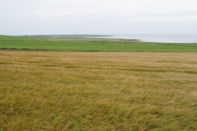
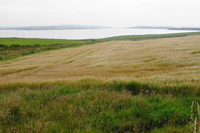
Greeni Geo is a prominent coastal feature located in Orkney, a group of islands in Scotland. It is situated on the northeastern coast of Mainland, the largest island in the archipelago. Greeni Geo is specifically classified as a headland, which is a narrow strip of land that extends into the sea.
This geological formation is characterized by its steep cliffs and sharp, rugged coastline. The cliffs at Greeni Geo are composed of sandstone and rise to a height of approximately 100 meters, offering breathtaking views of the surrounding sea and landscape. The exposed rock formations showcase layers of sedimentary rocks, providing valuable insights into the region's geological history.
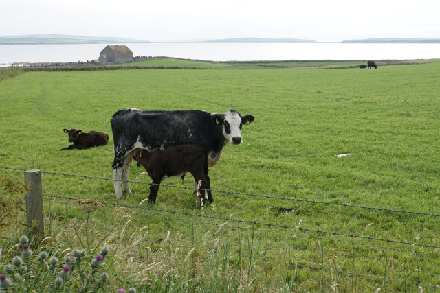
Greeni Geo is known for its diverse wildlife and serves as an important breeding ground for various seabird species. Puffins, fulmars, and guillemots can often be spotted nesting in the cliffs, while seals can be seen swimming in the surrounding waters. The area is also home to a variety of plant species that have adapted to the harsh coastal conditions.
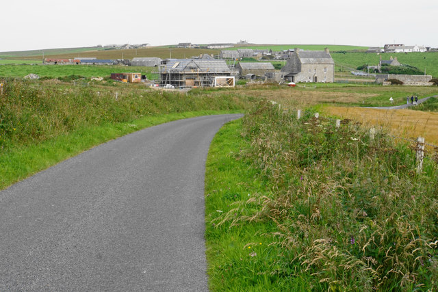
The headland is a popular destination for hikers and nature enthusiasts, offering stunning coastal walks and opportunities for birdwatching. It is easily accessible by foot, with well-maintained trails leading to the cliffs. Additionally, boat tours are available for visitors who wish to explore the area from the sea.
Overall, Greeni Geo is a remarkable coastal feature in Orkney, attracting visitors with its dramatic cliffs, diverse wildlife, and scenic beauty.
If you have any feedback on the listing, please let us know in the comments section below.
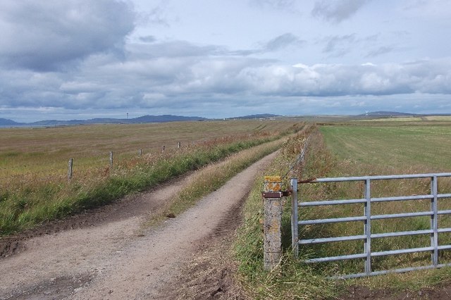
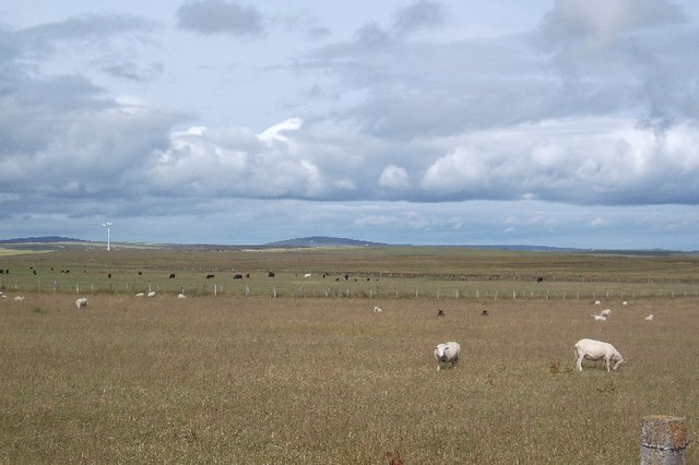
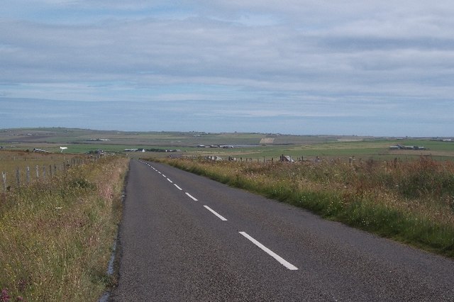
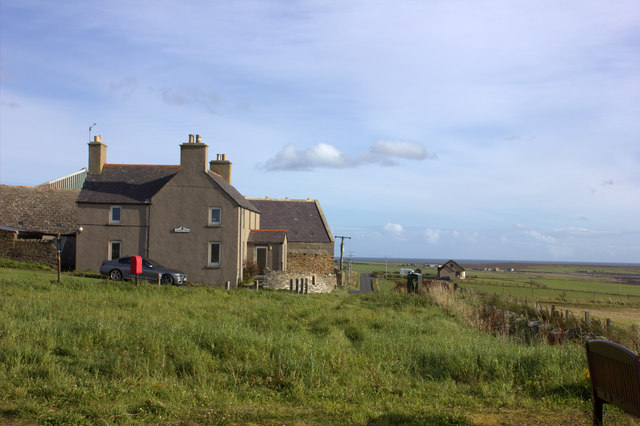
Greeni Geo Images
Images are sourced within 2km of 58.893137/-2.8660232 or Grid Reference HY5000. Thanks to Geograph Open Source API. All images are credited.
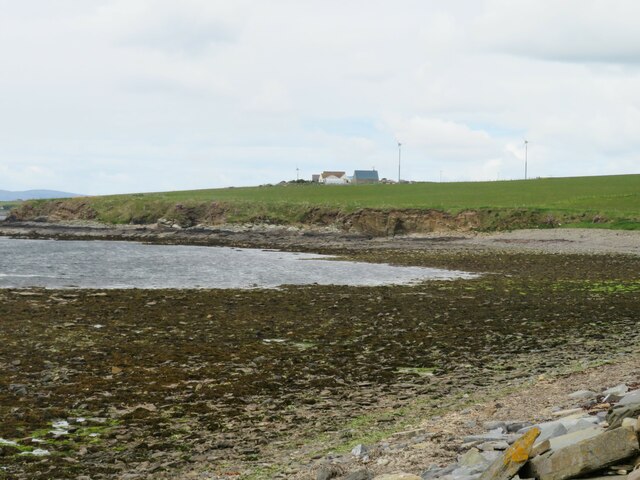
![Howes Wick Sandy bay with that scent of rotting seaweed in the air. Any excitement generated by seeing the words 'Castle Howe' on the map was soon dispelled by the sight of a green mound with a few stones sticking out of the top. [visible centre picture]](https://s1.geograph.org.uk/geophotos/06/89/10/6891045_fb00995c.jpg)

Greeni Geo is located at Grid Ref: HY5000 (Lat: 58.893137, Lng: -2.8660232)
Unitary Authority: Orkney Islands
Police Authority: Highlands and Islands
What 3 Words
///lived.apart.reports. Near Holm, Orkney Islands
Nearby Locations
Related Wikis

Lamb Holm
Lamb Holm is a small uninhabited island in Orkney, Scotland. The Italian Chapel, constructed during the Second World War, is the island's main attraction...

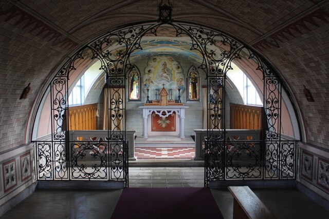
Italian Chapel
The Italian Chapel is a highly ornate Catholic chapel on Lamb Holm in the Orkney Islands. It was built during World War II by Italian prisoners of war...
Orkney F.C.
Orkney Football Club is a senior association football club from the Orkney Islands, Scotland. The club was founded in 2012 and competes in the North Caledonian...

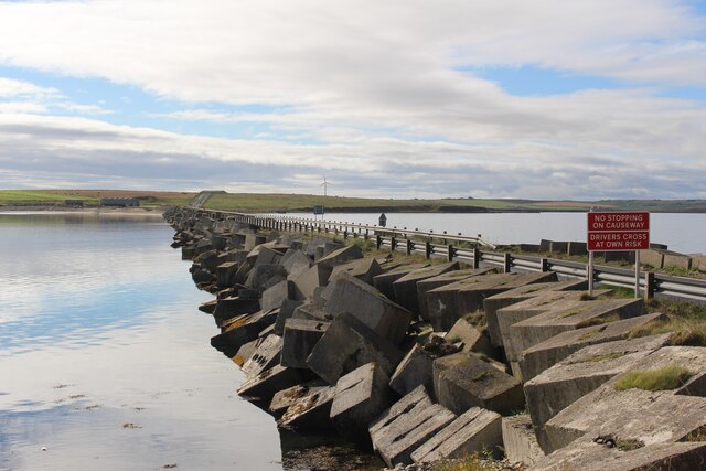
A961 road
The A961 is a single-carriageway road on the eastern side of Scapa Flow in the Orkney Islands, connecting the town of Kirkwall on the Orkney Mainland to...
Nearby Amenities
Located within 500m of 58.893137,-2.8660232Have you been to Greeni Geo?
Leave your review of Greeni Geo below (or comments, questions and feedback).