Taing of Berstane
Coastal Feature, Headland, Point in Orkney
Scotland
Taing of Berstane
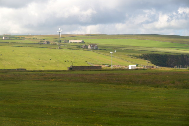
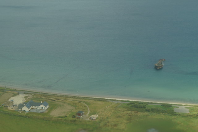
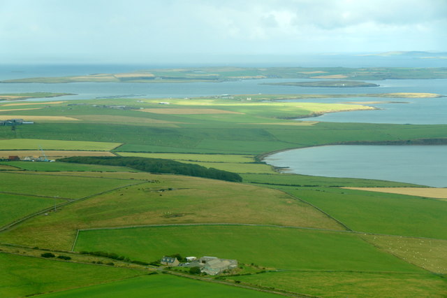
The Taing of Berstane is a prominent coastal feature located in the Orkney Islands, Scotland. It is a headland or point that extends into the North Sea, offering stunning views and unique geological formations.
Rising approximately 30 meters above sea level, the Taing of Berstane is characterized by steep cliffs made of sandstone and shale. These cliffs showcase striking layers of sedimentary rocks, providing a glimpse into the island's geological history.
The headland is accessible via a footpath that winds along the coast, allowing visitors to explore the area and appreciate its natural beauty. At low tide, it is possible to walk across the exposed rocky shore and witness fascinating rock formations, including sea stacks and caves.
The Taing of Berstane is also known for its diverse wildlife. It serves as a nesting site for various seabirds, such as kittiwakes, fulmars, and guillemots. Visitors may spot these birds soaring above the cliffs or nesting in the crevices. The surrounding waters are home to seals, which can often be seen basking on the rocks or swimming close to the shore.
Due to its scenic allure and ecological importance, the Taing of Berstane is a popular destination for nature enthusiasts, hikers, and birdwatchers. It offers a peaceful retreat where visitors can immerse themselves in the rugged beauty of the Orkney coastline and appreciate the wonders of the natural world.
If you have any feedback on the listing, please let us know in the comments section below.
Taing of Berstane Images
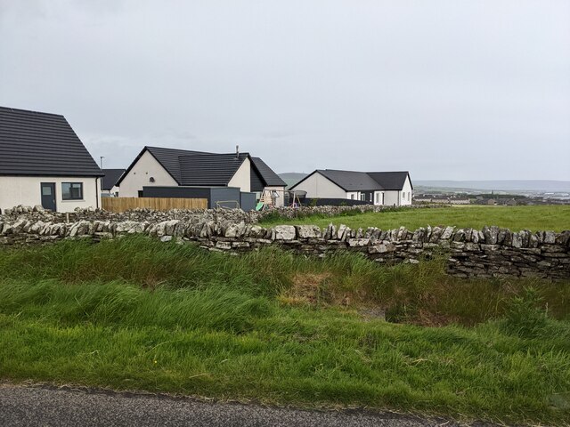
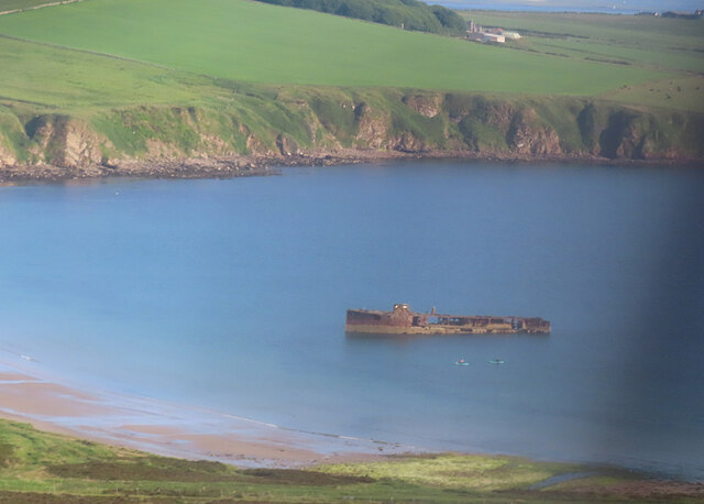
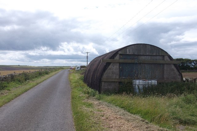
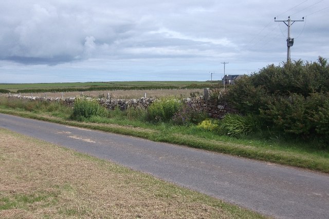
Images are sourced within 2km of 58.974125/-2.9133813 or Grid Reference HY4710. Thanks to Geograph Open Source API. All images are credited.


Taing of Berstane is located at Grid Ref: HY4710 (Lat: 58.974125, Lng: -2.9133813)
Unitary Authority: Orkney Islands
Police Authority: Highlands and Islands
What 3 Words
///screamed.tickets.headless. Near Kirkwall, Orkney Islands
Nearby Locations
Related Wikis

Kirkwall Airport
Kirkwall Airport (IATA: KOI, ICAO: EGPA) (Scottish Gaelic: Port-adhair Bhaile na h-Eaglais) is the main airport serving Orkney in Scotland. It is located...
Kirkwall Grammar School
Kirkwall Grammar School is a secondary school in Kirkwall, Orkney, Scotland. It was established in c. 1200. The current school building was opened in 2014...

UHI Archaeology Institute
UHI Archaeology Institute is an academic department of the University of the Highlands and Islands in Scotland. It was founded in 2014, incorporating Orkney...
UHI Orkney
Orkney College (Scottish Gaelic: Colaiste Arcaibh) is a further and higher education college in Orkney, an archipelago in northern Scotland. It is an academic...
Have you been to Taing of Berstane?
Leave your review of Taing of Berstane below (or comments, questions and feedback).