An t-Achadh Garbh

Settlement in Ross-shire

Scotland

An t-Achadh Garbh

Signpost for track to Slaggan Bay
Signpost for track to Slaggan Bay Credit: Graeme Yuill

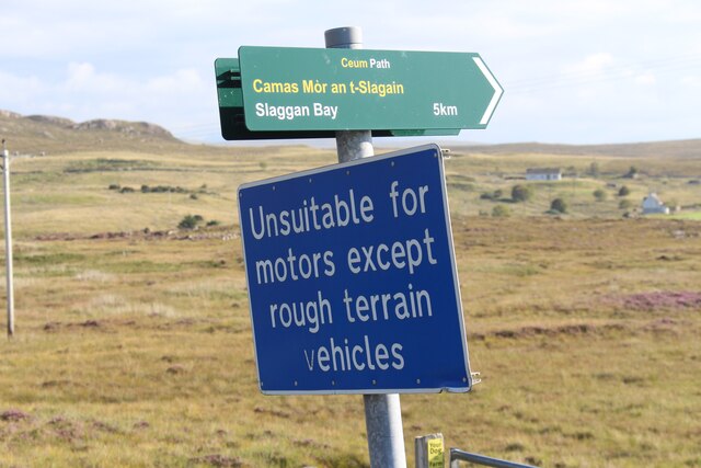
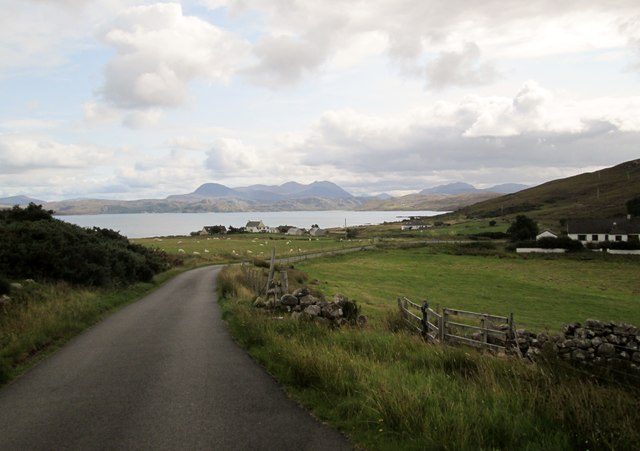
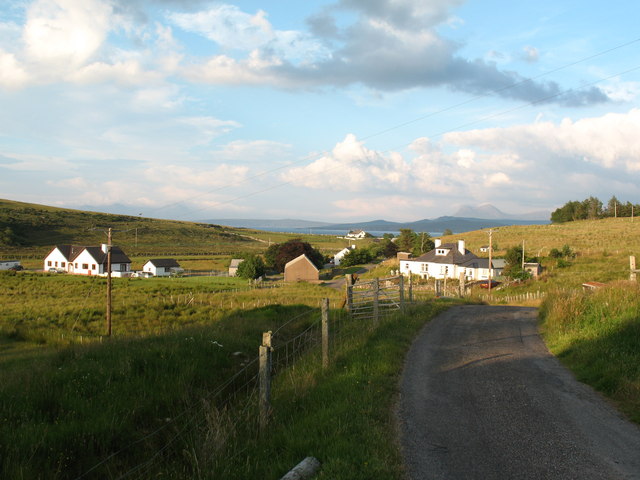
An t-Achadh Garbh is a small crofting township situated in the county of Ross-shire, located in the Highlands of Scotland. It is nestled amidst the breathtaking scenery of the Wester Ross region, renowned for its rugged mountains, pristine lochs, and picturesque landscapes.

The township of An t-Achadh Garbh is characterized by its remote and tranquil setting, making it an idyllic retreat for those seeking a peaceful escape from the hustle and bustle of urban life. The area is predominantly rural, with scattered crofts and traditional Highland cottages dotting the landscape.

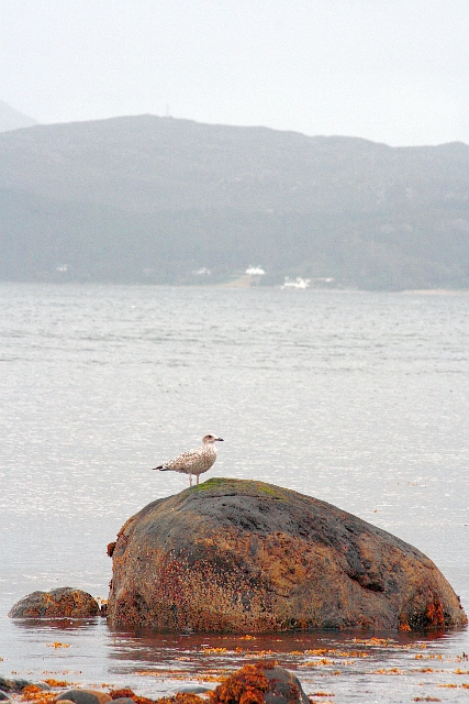
Surrounded by rolling hills and verdant pastures, An t-Achadh Garbh offers its residents and visitors a unique opportunity to immerse themselves in the beauty of the Scottish countryside. The nearby Loch Maree, one of Scotland's largest freshwater lochs, is a popular spot for fishing, boating, and leisurely walks along its shores.

The township is also within close proximity to several Munros, including Slioch and Beinn Eighe, making it an ideal destination for outdoor enthusiasts and hikers looking to explore the stunning Highland peaks. Wildlife enthusiasts will be delighted by the abundance of wildlife in the area, with opportunities to spot red deer, golden eagles, and otters.

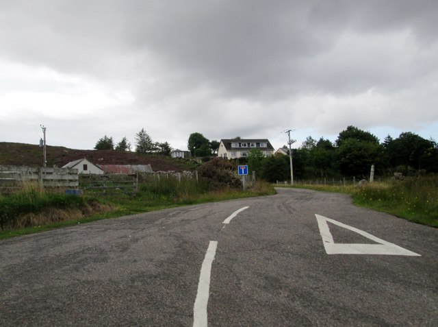
Although An t-Achadh Garbh is a peaceful and secluded township, it is not entirely isolated. The nearby village of Kinlochewe provides essential amenities such as shops, cafes, and a primary school, ensuring that residents have access to the necessities of daily life.

In summary, An t-Achadh Garbh is a charming and picturesque crofting township in the heart of the Scottish Highlands. With its stunning natural surroundings and peaceful ambiance, it offers a true taste of rural Scottish life.

If you have any feedback on the listing, please let us know in the comments section below.

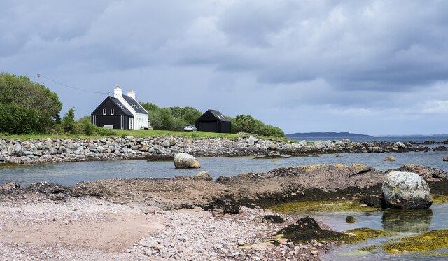
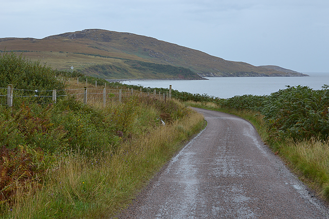
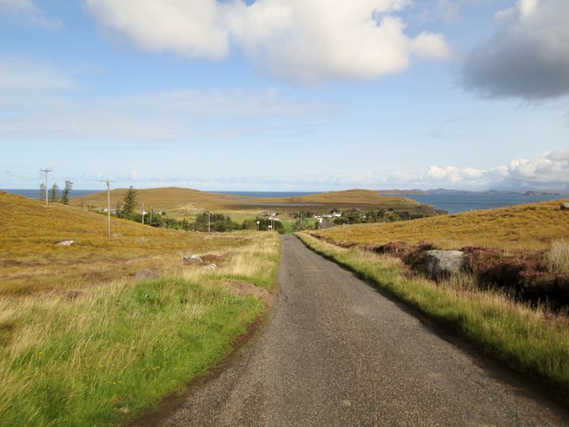
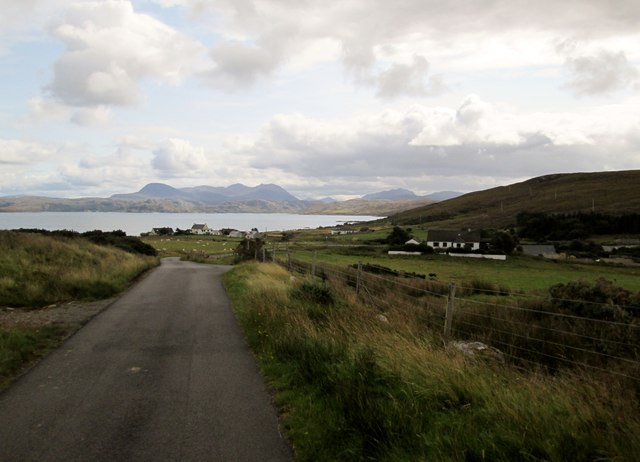
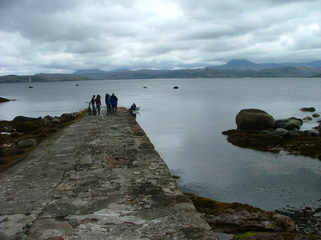
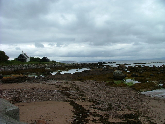
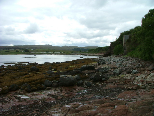
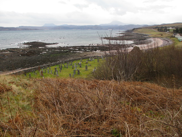
An t-Achadh Garbh Images

Images are sourced within 2km of 57.881688/-5.555807 or Grid Reference NG8993. Thanks to Geograph Open Source API. All images are credited.

Signpost for track to Slaggan Bay
The  old  burial  ground  and  remains  of  chapel
The old burial ground and remains of chapel
Old  burial  ground  Laide  with  Gruinard  Bay  beyond
Old burial ground Laide with Gruinard Bay beyond
Minor  road  from  Laide  to  Mellon  Udrigle
Minor road from Laide to Mellon Udrigle
Boulders at shore of Gruinard Bay Two lone boulders are prominent in the view at the seashore at Laide near to the south-western corner of Gruinard Bay.
Boulders at shore of Gruinard Bay
Two lone boulders are prominent in the view at the seashore at Laide near to the south-western corner of Gruinard Bay.
The Achgarve road north of Laide Following the coast at this point. Meall nam Meallan is the hill in the distance, above the coastline of Gruinard Bay.
The Achgarve road north of Laide
Following the coast at this point. Meall nam Meallan is the hill in the distance, above the coastline of Gruinard Bay.
Moorland at Achgarve Achgarve is a crofting settlement near to Laide on the west side of Gruinard Bay, though it's likely that little actual crofting goes on there now. The view is to the east where, distantly, Sail Mhor can be seen beyond the sunlit house.
Moorland at Achgarve
Achgarve is a crofting settlement near to Laide on the west side of Gruinard Bay, though it's likely that little actual crofting goes on there now. The view is to the east where, distantly, Sail Mhor can be seen beyond the sunlit house.
To  Mellon  Udrigle  with  a  view  of  the  coastline Moorland and freshwater lochs around this crofting community
To Mellon Udrigle with a view of the coastline
Moorland and freshwater lochs around this crofting community
Minor  road  down  to  Achgarve With Udrigle and Gruinard Bay beyond
Minor road down to Achgarve
With Udrigle and Gruinard Bay beyond
Minor  road  down  to  the  Achgarve  road  junction Small crofting communities dot the areas below the heather moorland
Minor road down to the Achgarve road junction
Small crofting communities dot the areas below the heather moorland
Minor  road  junction  to  Achgarve
Minor road junction to Achgarve
Laide Chapel and Burial ground
Laide shop and Post Office
Laide jetty On the shore of Gruinard Bay
Laide jetty
On the shore of Gruinard Bay
Shoreline on Gruinard Bay at Laide Looking north from Laide jetty.
Shoreline on Gruinard Bay at Laide
Looking north from Laide jetty.
Shoreline on Gruinard Bay at Laide Looking south from the Laide jetty.
Shoreline on Gruinard Bay at Laide
Looking south from the Laide jetty.
Old burial ground at Laide On Gruinard Bay.
Old burial ground at Laide
On Gruinard Bay.
Young Seagull at Low Tide This young seagull took a shine to this rock. It was still there at high tide see <a href="https://www.geograph.org.uk/photo/3634567">NG9092 : Young Seagull at High Tide</a>.
Young Seagull at Low Tide
This young seagull took a shine to this rock. It was still there at high tide see NG9092 : Young Seagull at High Tide.
Show me another place!

An t-Achadh Garbh is located at Grid Ref: NG8993 (Lat: 57.881688, Lng: -5.555807)

Unitary Authority: Highland

Police Authority: Highlands and Islands

Also known as: Achgarve

What 3 Words

///transfers.cooked.concluded. Near Gairloch, Highland

Related Wikis

Achgarve

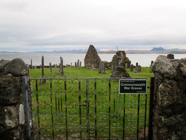
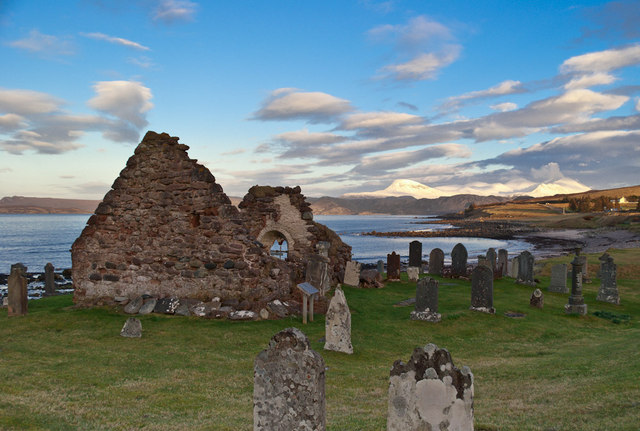
Achgarve (Scottish Gaelic: An t-Achadh Garbh - the rough field) is a small coastal crofting and fishing hamlet, situated between Gruinard Bay and Loch...

Laide

Laide (Scottish Gaelic: An Leathad) is a small village in the northwest of the Highlands of Scotland. It is situated on the southern shore of Gruinard...

Mellon Udrigle

Mellon Udrigle (Scottish Gaelic: Meallan Ùdraigil or Na Meall) is a small remote coastal tourist, fishing and crofting hamlet on the north west coast of...

Sand, Highland

Sand (Scottish Gaelic: Sannda) is a small hamlet, located on the southern shore of Gruinard Bay, and lying to the west of the village of Laide in Ross...

Nearby Amenities

Located within 500m of 57.881688,-5.555807
Passing Place
Lat/Long: 57.8845886/-5.5614599
Passing Place
Lat/Long: 57.8843041/-5.5605793
Passing Place
Lat/Long: 57.8840044/-5.5595071
Passing Place
Lat/Long: 57.8835413/-5.5573131
Power: pole
Lat/Long: 57.879079/-5.5512916
Power: pole
Lat/Long: 57.8795417/-5.5523604
Power: pole
Lat/Long: 57.8799164/-5.5532812
Power: pole
Lat/Long: 57.8803615/-5.5542857
Power: pole
Lat/Long: 57.8807558/-5.5552571
Power: pole
Lat/Long: 57.8811222/-5.5562071
Power: pole
Lat/Long: 57.8816884/-5.5573985
Power: pole
Lat/Long: 57.8820372/-5.558185
Power: pole
Lat/Long: 57.8822111/-5.558586
Power: pole
Lat/Long: 57.8825257/-5.5592888
Power: pole
Lat/Long: 57.8830049/-5.5601376
Power: pole
Lat/Long: 57.8835069/-5.5610506
Power: pole
Lat/Long: 57.8839343/-5.5618312
Achgarve
Name Gd: An t-Achadh Garbh
Place: hamlet
Lat/Long: 57.880938/-5.5628223
Udrigle
Alt Name En: Udrigill
Name En: Udrigle
Name Gd: Ùdraigil
Place: hamlet
Lat/Long: 57.8818051/-5.5513425
The data included in this document is from www.openstreetmap.org. The data is made available under ODbL.

Have you been to An t-Achadh Garbh?

Leave your review of An t-Achadh Garbh below (or comments, questions and feedback).