Poll an Eòin Beag

Sea, Estuary, Creek in Ross-shire

Scotland

Poll an Eòin Beag

Signpost for track to Slaggan Bay
Signpost for track to Slaggan Bay Credit: Graeme Yuill

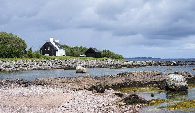
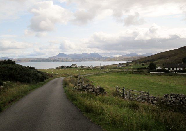
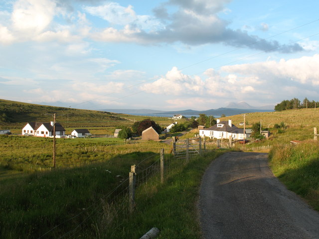
Poll an Eòin Beag is a picturesque coastal location situated in Ross-shire, Scotland. It is a small sea inlet that forms an estuary and creek, offering a stunning blend of natural beauty and tranquility. The name "Poll an Eòin Beag" translates to "Little Bird Pool" in English, which perfectly captures the area's abundant birdlife.

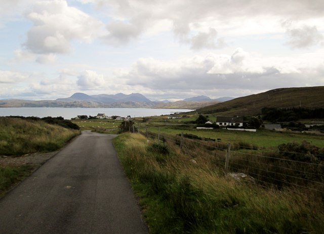
The estuary is formed by the confluence of a small river and the sea, creating a unique habitat that attracts a diverse range of bird species. The surrounding landscape is characterized by rugged cliffs, sandy beaches, and lush green hills, providing a breathtaking backdrop to the estuary. The crystal-clear waters of the creek are teeming with marine life, making it a popular spot for fishing and water sports enthusiasts.

The area is a haven for birdwatchers, as it serves as a nesting ground and feeding area for numerous bird species. Visitors can spot a variety of seabirds, including gulls, terns, and cormorants, as well as wading birds such as herons and oystercatchers. The estuary also attracts migratory birds during certain seasons, adding to the avian spectacle.

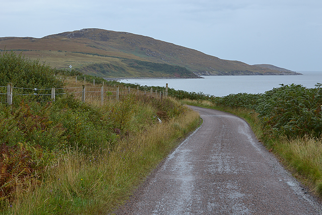
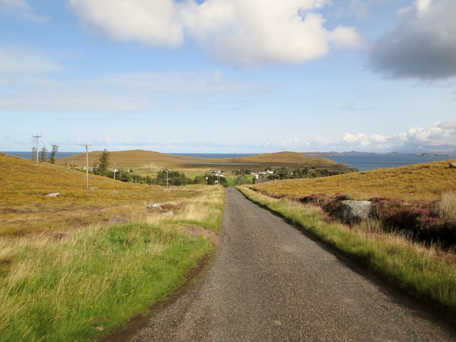
In addition to its natural beauty, Poll an Eòin Beag offers recreational activities for visitors. The sandy beaches are perfect for leisurely walks and picnics, while the calm waters provide ideal conditions for kayaking and paddleboarding. The area is also home to a number of hiking trails, allowing visitors to explore the surrounding hills and enjoy panoramic views of the estuary and coastline.

Overall, Poll an Eòin Beag is a hidden gem in Ross-shire, offering a serene coastal experience with its stunning estuary, diverse birdlife, and breathtaking scenery.

If you have any feedback on the listing, please let us know in the comments section below.

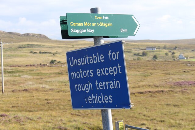
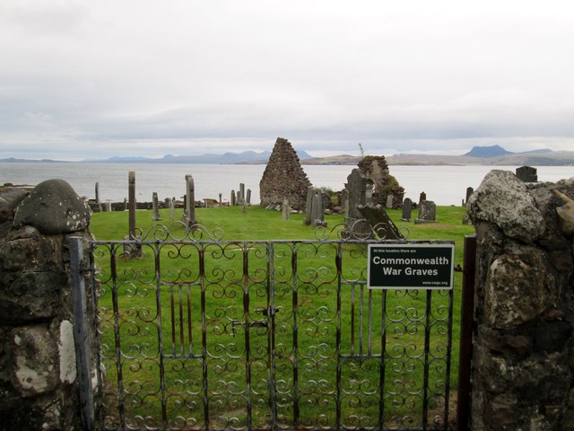
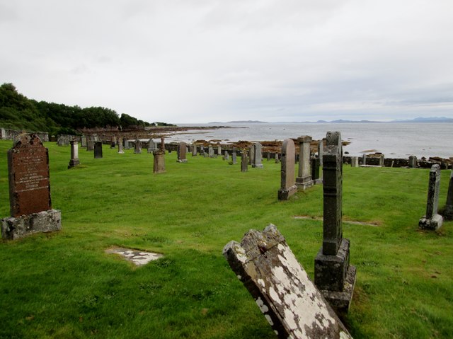
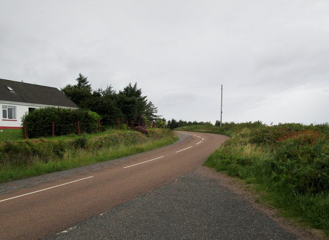
Poll an Eòin Beag Images

Images are sourced within 2km of 57.884971/-5.5502265 or Grid Reference NG8993. Thanks to Geograph Open Source API. All images are credited.

Signpost for track to Slaggan Bay
The  old  burial  ground  and  remains  of  chapel
The old burial ground and remains of chapel
Old  burial  ground  Laide  with  Gruinard  Bay  beyond
Old burial ground Laide with Gruinard Bay beyond
Minor  road  from  Laide  to  Mellon  Udrigle
Minor road from Laide to Mellon Udrigle
Boulders at shore of Gruinard Bay Two lone boulders are prominent in the view at the seashore at Laide near to the south-western corner of Gruinard Bay.
Boulders at shore of Gruinard Bay
Two lone boulders are prominent in the view at the seashore at Laide near to the south-western corner of Gruinard Bay.
The Achgarve road north of Laide Following the coast at this point. Meall nam Meallan is the hill in the distance, above the coastline of Gruinard Bay.
The Achgarve road north of Laide
Following the coast at this point. Meall nam Meallan is the hill in the distance, above the coastline of Gruinard Bay.
Moorland at Achgarve Achgarve is a crofting settlement near to Laide on the west side of Gruinard Bay, though it's likely that little actual crofting goes on there now. The view is to the east where, distantly, Sail Mhor can be seen beyond the sunlit house.
Moorland at Achgarve
Achgarve is a crofting settlement near to Laide on the west side of Gruinard Bay, though it's likely that little actual crofting goes on there now. The view is to the east where, distantly, Sail Mhor can be seen beyond the sunlit house.
Mellon  Udrigle  calm  sea  and  empty  sand On very rocky shorelines these beaches are little gems
Mellon Udrigle calm sea and empty sand
On very rocky shorelines these beaches are little gems
Seaward  view  from  rocks  Mellon  Udrigle  beach
Seaward view from rocks Mellon Udrigle beach
Rocks  above  and  below  the  water  Mellon  Udrigle  beach These rocks are at the southern end of the beach, which can be seen sweeping round from the left
Rocks above and below the water Mellon Udrigle beach
These rocks are at the southern end of the beach, which can be seen sweeping round from the left
To  Mellon  Udrigle  with  a  view  of  the  coastline Moorland and freshwater lochs around this crofting community
To Mellon Udrigle with a view of the coastline
Moorland and freshwater lochs around this crofting community
Mellon  Udrigle  and village  sign  in  sight A small crofting community with a wonderful beach, more than five people on the beach you have picked a busy day
Mellon Udrigle and village sign in sight
A small crofting community with a wonderful beach, more than five people on the beach you have picked a busy day
The  ascent  out  of  Mellon  Udrigle  toward  Laide The junction to the right goes to Opinan
The ascent out of Mellon Udrigle toward Laide
The junction to the right goes to Opinan
Minor  road  down  to  Achgarve With Udrigle and Gruinard Bay beyond
Minor road down to Achgarve
With Udrigle and Gruinard Bay beyond
Minor  road  down  to  the  Achgarve  road  junction Small crofting communities dot the areas below the heather moorland
Minor road down to the Achgarve road junction
Small crofting communities dot the areas below the heather moorland
Minor  road  junction  to  Achgarve
Minor road junction to Achgarve
Mellon Udrigle Single track road into the tiny hamlet of Mellon Udrigle
Mellon Udrigle
Single track road into the tiny hamlet of Mellon Udrigle
Rocks and surf, Meallan Ùdraigil
Show me another place!

Poll an Eòin Beag is located at Grid Ref: NG8993 (Lat: 57.884971, Lng: -5.5502265)

Unitary Authority: Highland

Police Authority: Highlands and Islands

What 3 Words

///each.shortens.landmark. Near Gairloch, Highland

Related Wikis

Achgarve

Achgarve (Scottish Gaelic: An t-Achadh Garbh - the rough field) is a small coastal crofting and fishing hamlet, situated between Gruinard Bay and Loch...

Mellon Udrigle

Mellon Udrigle (Scottish Gaelic: Meallan Ùdraigil or Na Meall) is a small remote coastal tourist, fishing and crofting hamlet on the north west coast of...

Laide

Laide (Scottish Gaelic: An Leathad) is a small village in the northwest of the Highlands of Scotland. It is situated on the southern shore of Gruinard...

Sand, Highland

Sand (Scottish Gaelic: Sannda) is a small hamlet, located on the southern shore of Gruinard Bay, and lying to the west of the village of Laide in Ross...

Rubha Mòr

Rubha Mòr is a remote peninsula in west Scotland, in the western region of Ross and Cromarty. The peninsula stretches from Greenstone Point in the north...

Opinan, Laide, Highland

Opinan is a remote scattered crofting hamlet, in Achnasheen, Ross-shire, Scottish Highlands and is in the Scottish council area of Highland. The village...

Gruinard Bay

Gruinard Bay is a large remote coastal embayment, located 12 miles north of Poolewe, in northwestern Ross and Cromarty, and is in the former parish of...

First Coast, Highland

First Coast is a small settlement in Wester Ross in the North West Highlands of Scotland. It is situated on the south shore of Gruinard Bay and on the...

Nearby Amenities

Located within 500m of 57.884971,-5.5502265
Passing Place
Lat/Long: 57.8835413/-5.5573131
Udrigle
Alt Name En: Udrigill
Name En: Udrigle
Name Gd: Ùdraigil
Place: hamlet
Lat/Long: 57.8818051/-5.5513425
The data included in this document is from www.openstreetmap.org. The data is made available under ODbL.

Have you been to Poll an Eòin Beag?

Leave your review of Poll an Eòin Beag below (or comments, questions and feedback).