Low Knipe

Settlement in Westmorland Eden

England

Low Knipe

Telephone Box from Withnail and I, Bampton A place of pilgrimage for fans of the film.
Telephone Box from Withnail and I, Bampton Credit: Rich Tea

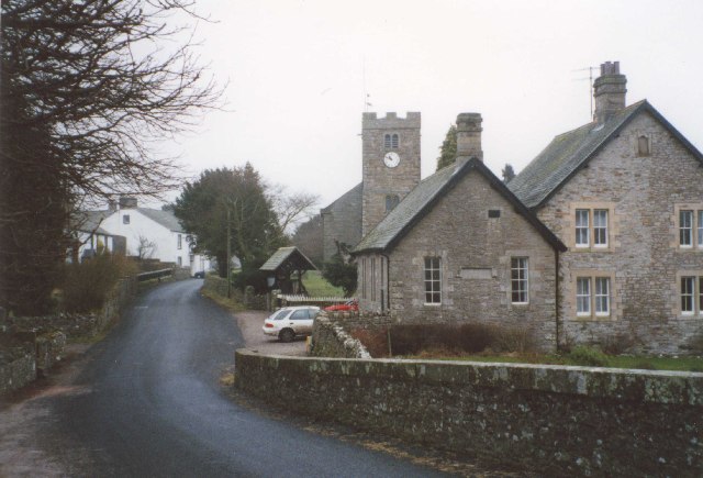
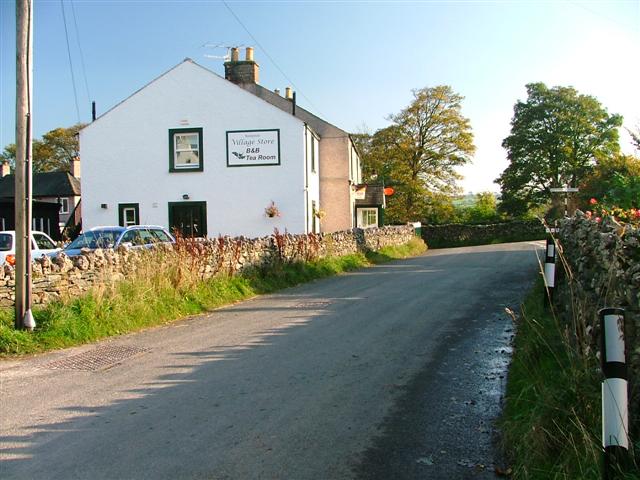
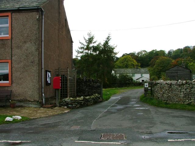
Low Knipe is a small village located in the district of Westmorland, in the northwestern region of England. Situated in the picturesque countryside of Cumbria, it is part of the larger civil parish of Bampton. With a population of around 100 residents, Low Knipe is a tight-knit community that offers a peaceful and idyllic rural setting.

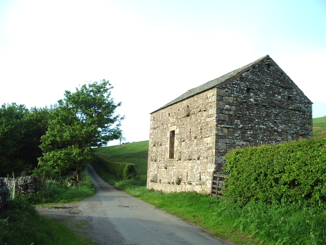
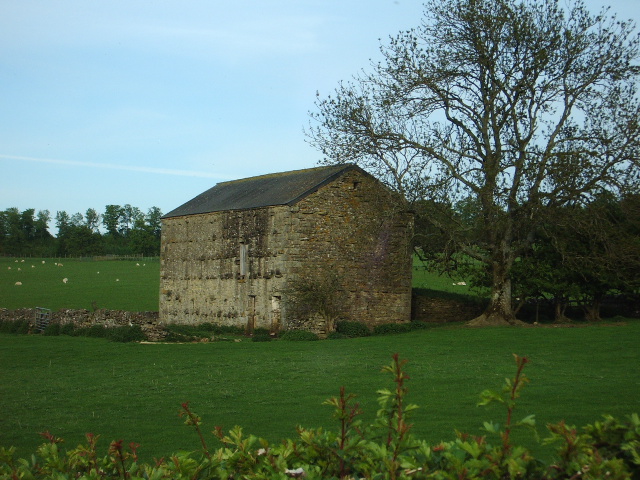
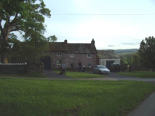
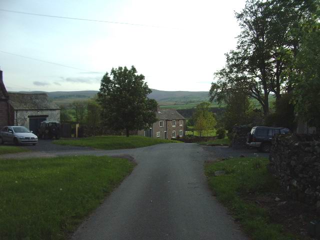
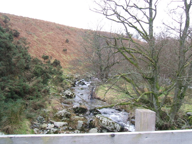
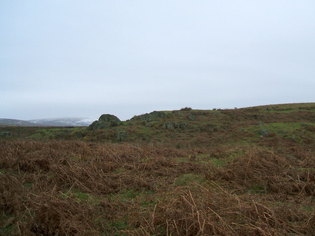
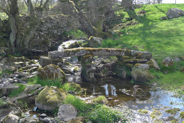
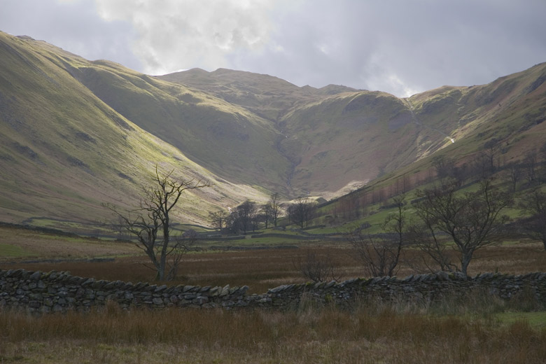
Surrounded by rolling hills and lush green fields, Low Knipe provides a tranquil escape from the hustle and bustle of city life. The village is characterized by its traditional stone houses and charming cottages, which add to its quaint and timeless atmosphere. The nearby River Lowther flows through the village, offering residents and visitors a serene spot for leisurely walks or picnics by the water.

While Low Knipe is primarily a residential area, there are a few local amenities available to its residents. These include a small village hall, where community events and gatherings take place, as well as a local pub that serves as a social hub for locals and visitors alike.

For those seeking outdoor activities, the surrounding area offers plenty of opportunities for hiking, cycling, and exploring the beautiful Lake District National Park. With its stunning landscapes and natural beauty, Low Knipe appeals to nature lovers, outdoor enthusiasts, and those looking for a peaceful retreat in the heart of the English countryside.

If you have any feedback on the listing, please let us know in the comments section below.
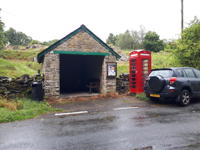
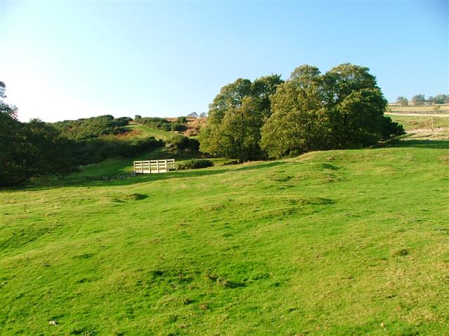
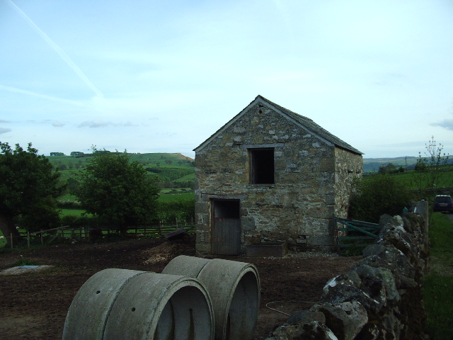
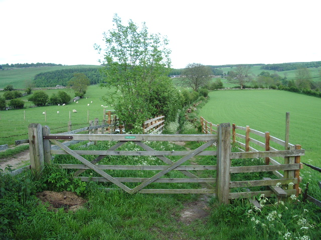
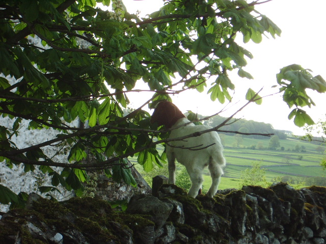
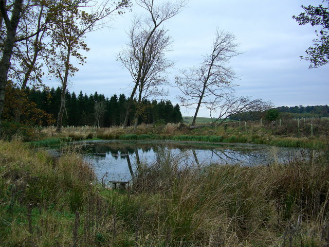
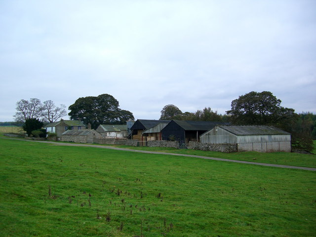
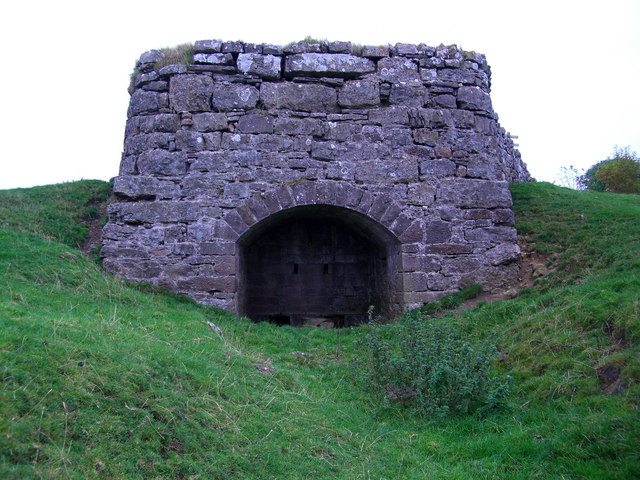
Low Knipe Images

Images are sourced within 2km of 54.572013/-2.74864 or Grid Reference NY5119. Thanks to Geograph Open Source API. All images are credited.

Telephone Box from Withnail and I, Bampton A place of pilgrimage for fans of the film.
Telephone Box from Withnail and I, Bampton
A place of pilgrimage for fans of the film.
Footbridge Over Heltondale Beck
Out Barn This small barn is being used as stables for a pair of quiet gentle horses.
Out Barn
This small barn is being used as stables for a pair of quiet gentle horses.
Bridlepath Taken at the Helton end, the photo shows the bridlepath looking towards to hamlet of Whale
Bridlepath
Taken at the Helton end, the photo shows the bridlepath looking towards to hamlet of Whale
Barn The "C" class road runs north to Askham 4kms away, the woodland to the left is the southern point of Nelly's Wood.
Barn
The "C" class road runs north to Askham 4kms away, the woodland to the left is the southern point of Nelly's Wood.
Barn Barn .5km south of the hamlet of Whale
Barn
Barn .5km south of the hamlet of Whale
Whale Small hamlet on the east side of the Bampton Grange Askham road.
Whale
Small hamlet on the east side of the Bampton Grange Askham road.
Whale Looking west down the road from the Bampton Grange Askham road
Whale
Looking west down the road from the Bampton Grange Askham road
Goat This young goat was enjoying a nice meal of young tender horse chestnut leaves before I disturbed it.
Goat
This young goat was enjoying a nice meal of young tender horse chestnut leaves before I disturbed it.
Fishing pond on Lowther Estate
Whalemoor
Whalemoor
Lime Kiln near Whalemoor
Heltondale Beck
Heltondale Beck
Lanty Crag Not really worthy of the term 'crag'
Lanty Crag
Not really worthy of the term 'crag'
Clapper bridge, Whale This stone footbridge crosses a small stream south of Whale. The path is on the Westmorland Way.
Clapper bridge, Whale
This stone footbridge crosses a small stream south of Whale. The path is on the Westmorland Way.
Bampton Grange This is a view up the village street from the bridge over the River Lowther.
Bampton Grange
This is a view up the village street from the bridge over the River Lowther.
Bampton Village Store and Post Office
Postbox, Butterwick
Postbox, Butterwick
Show me another place!

Low Knipe is located at Grid Ref: NY5119 (Lat: 54.572013, Lng: -2.74864)

Administrative County: Cumbria

District: Eden

Police Authority: Cumbria

What 3 Words

///included.shave.recruiter. Near Shap, Cumbria

Related Wikis

Knipescar Common

Knipescar Common, or Knipe Scar, is an upland area in the east of the English Lake District, above the River Lowther, near Bampton, Cumbria. It is the...

Butterwick, Cumbria

Butterwick is a hamlet in Cumbria, England, near the village of Helton. == Location grid ==

Whale, Cumbria

Whale is a hamlet in the Westmorland and Furness unitary authority area, Cumbria, England. Historically in Westmorland, it is about a mile south of the...

Bampton, Cumbria

Bampton is a village and civil parish in the Westmorland and Furness unitary authority area of Cumbria, England, on the edge of the Lake District National...

Boredale Hause

Boredale Hause is a mountain pass between Place Fell and Angletarn Pikes in the east of the English Lake District. It links the Patterdale and Boredale...

Haweswater Beck

Haweswater Beck flows through Cumbria in England. It arises as a stream discharge from Haweswater Reservoir, at Gill Dubs, just east of the dam, and flows...

West Ward Rural District

West Ward was a rural district of the administrative county of Westmorland. The area was directly based on the former West Ward rural sanitary district...

Helton, Cumbria

Helton is a village in the Eden district, in the English county of Cumbria. It is about a mile south of the village of Askham. Circa 1870, it had a population...

Nearby Amenities

Located within 500m of 54.572013,-2.74864
Telephone
Booth: K6
Covered: booth
Man Made: telephone_box
Tourism: information
Lat/Long: 54.5698019/-2.7489871
Post Box
Post Box Type: wall
Ref: CA10 244
Royal Cypher: EIIR
Royal Cypher Wikidata: Q33102113
Lat/Long: 54.5698198/-2.7490102
Knipe
Place: locality
Lat/Long: 54.5696131/-2.7479599
Mounting Block
Lat/Long: 54.5678027/-2.7463376
Information: guidepost
Tourism: information
Lat/Long: 54.5697575/-2.7489552
Give Way
Direction: backward
Lat/Long: 54.5698417/-2.7491127
Power: pole
Lat/Long: 54.5697547/-2.7437731
Power: pole
Lat/Long: 54.5693114/-2.7441175
Power: pole
Lat/Long: 54.5688355/-2.7441444
Power: pole
Lat/Long: 54.568409/-2.7441802
Power: pole
Lat/Long: 54.5688589/-2.7450635
Power: pole
Lat/Long: 54.5689017/-2.7459246
Power: pole
Lat/Long: 54.5697664/-2.7551072
Power: pole
Lat/Long: 54.569957/-2.7535999
Power: pole
Lat/Long: 54.5701152/-2.7522983
Power: pole
Lat/Long: 54.570298/-2.750791
Power: pole
Lat/Long: 54.5704393/-2.7496482
Power: pole
Lat/Long: 54.5706299/-2.7480648
Power: pole
Lat/Long: 54.5707271/-2.7473312
Power: pole
Lat/Long: 54.5709073/-2.745853
Power: pole
Lat/Long: 54.5710888/-2.744453
Power: pole
Lat/Long: 54.5712314/-2.743507
Power: pole
Lat/Long: 54.5713157/-2.7425789
Power: pole
Lat/Long: 54.5717396/-2.7410514
Power: pole
Lat/Long: 54.5715659/-2.7465194
Power: pole
Lat/Long: 54.5723411/-2.7466514
Power: pole
Lat/Long: 54.5730243/-2.7467833
Power: pole
Lat/Long: 54.5737204/-2.7469108
The data included in this document is from www.openstreetmap.org. The data is made available under ODbL.

Have you been to Low Knipe?

Leave your review of Low Knipe below (or comments, questions and feedback).