Laithe, Low

Settlement in Yorkshire Harrogate

England

Laithe, Low

Glasshouses Glasshouse mill is the large building over the river Nidd.  The mill is now a winery and tea rooms.
Glasshouses Credit: Paul Baxter

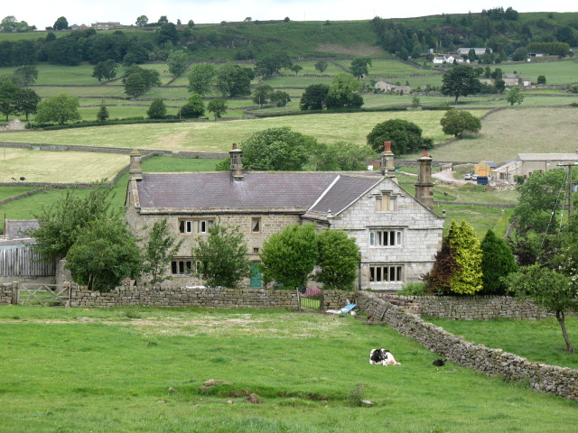
Laithe, Low is a small village located in the county of Yorkshire, England. Situated in the picturesque Yorkshire Dales, the village is known for its stunning natural beauty and peaceful atmosphere. With a population of around 100 residents, Laithe, Low offers a close-knit community and a tranquil countryside setting.

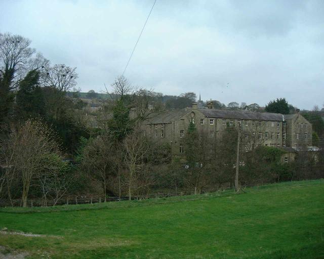
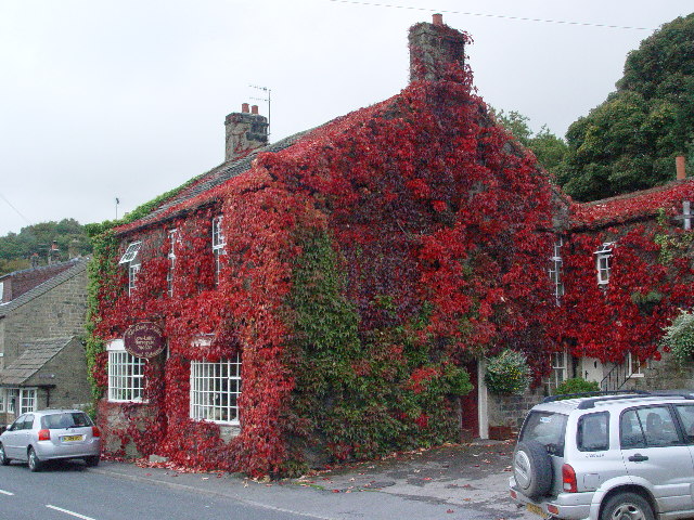
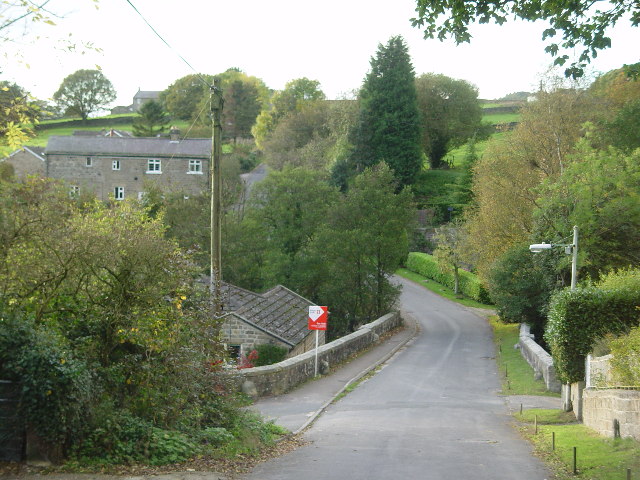
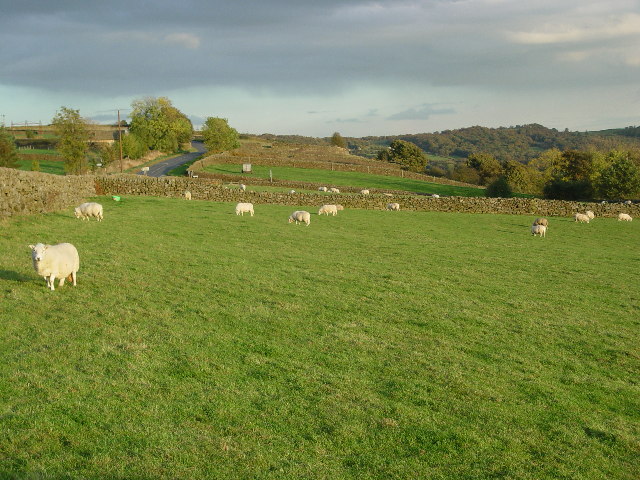
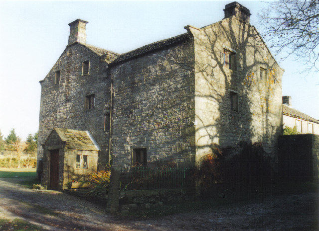
Surrounded by rolling hills and vast green landscapes, Laithe, Low provides ample opportunities for outdoor activities such as hiking, cycling, and birdwatching. The village is also famous for its quaint stone cottages and traditional architecture, which add to its charm and appeal.

Although small in size, Laithe, Low is home to a few amenities that cater to the needs of its residents. These include a local pub, a village shop, and a primary school, ensuring that basic necessities are easily accessible within the community. However, for more extensive shopping or entertainment options, residents can travel to nearby towns such as Skipton or Settle.

Laithe, Low is also well-connected to the surrounding areas, with good transport links to nearby towns and cities. The village is served by a regular bus service, and the nearest train stations are located in Skipton and Settle, providing convenient access to the wider region.

Overall, Laithe, Low offers a peaceful and idyllic rural lifestyle, perfect for those seeking a quiet retreat or a close connection with nature. Its natural beauty, friendly community, and convenient location make it a desirable place to live or visit in the heart of Yorkshire.

If you have any feedback on the listing, please let us know in the comments section below.
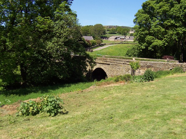
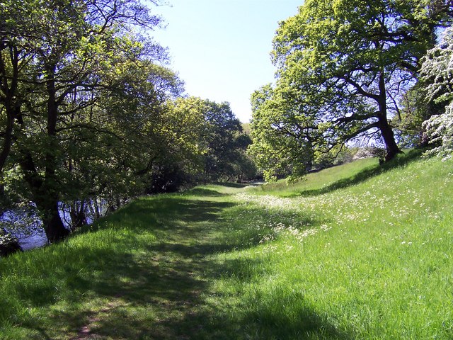
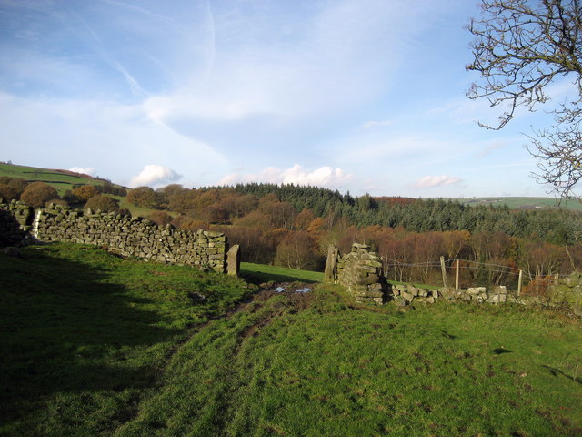
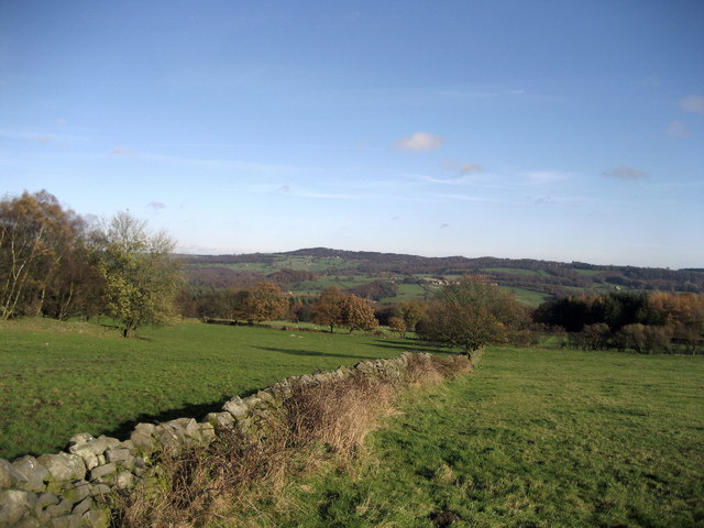
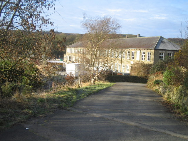
Laithe, Low Images

Images are sourced within 2km of 54.069158/-1.709325 or Grid Reference SE1963. Thanks to Geograph Open Source API. All images are credited.

Glasshouses Glasshouse mill is the large building over the river Nidd.  The mill is now a winery and tea rooms.
Glasshouses
Glasshouse mill is the large building over the river Nidd. The mill is now a winery and tea rooms.
Bark Cabin Wood Climbing the hills above Glasshouses the woods are filled with moss covered rocks.
Bark Cabin Wood
Climbing the hills above Glasshouses the woods are filled with moss covered rocks.
Nidderdale Weir This weir used to serve the nearby corn mill which is now a saw mill.
Nidderdale Weir
This weir used to serve the nearby corn mill which is now a saw mill.
Dacre Banks Sports Club
Dusty Miller Restaurant, Low Laithe The photo would have been even better last week - unfortunately it was raining hard!
Dusty Miller Restaurant, Low Laithe
The photo would have been even better last week - unfortunately it was raining hard!
Wilsill Methodist Church
Smelthouses A charming little hamlet. The name suggests extracting metals from ore, but all trace of this site is now lost. It was probably from monastic times.
Smelthouses
A charming little hamlet. The name suggests extracting metals from ore, but all trace of this site is now lost. It was probably from monastic times.
Fields & Sheep near Blazefield
Braisty Woods Farm Historical home of the Skaife family.
Braisty Woods Farm
Historical home of the Skaife family.
Fields running down to Fell Beck Roughly eastern aspect while walking towards Fell Beck en route to Brimham Rocks from the nearby B6265
Fields running down to Fell Beck
Roughly eastern aspect while walking towards Fell Beck en route to Brimham Rocks from the nearby B6265
Bridge over Fell Beck This is just before Fell Beck empties its waters into the River Nidd. The bridge carries the B6165 road over the watercourse just north of the village of Low Laithe
Bridge over Fell Beck
This is just before Fell Beck empties its waters into the River Nidd. The bridge carries the B6165 road over the watercourse just north of the village of Low Laithe
River Nidd near Wilsill Part of a superb riverside path that stretches from Low Laithe to Pateley Bridge
River Nidd near Wilsill
Part of a superb riverside path that stretches from Low Laithe to Pateley Bridge
Fields above Loftshaw Gill Following a footpath from Northwoods through a copse and some fields, aiming for the western edge of Clark's Carr Woods - which is just coming into view
Fields above Loftshaw Gill
Following a footpath from Northwoods through a copse and some fields, aiming for the western edge of Clark's Carr Woods - which is just coming into view
Fields between Northwoods and Clark's Carr Glorious views over Nidderdale to Brimham Rocks on the horizon can be obtained from the footpath from Northwoods to Clark's Carr Woods
Fields between Northwoods and Clark's Carr
Glorious views over Nidderdale to Brimham Rocks on the horizon can be obtained from the footpath from Northwoods to Clark's Carr Woods
Copse, near Northwoods This pleasant small area of woodland straddles the path that leads from Northwoods to Clark's Carr Woods
Copse, near Northwoods
This pleasant small area of woodland straddles the path that leads from Northwoods to Clark's Carr Woods
Clark's Carr Area of woodland in Nidderdale - this showing the western portion
Clark's Carr
Area of woodland in Nidderdale - this showing the western portion
Farm road near Harewell Woods Farm road and public footpath in Nidderdale. The serrated outline of Brimham Rocks can be seen in the distance.
Farm road near Harewell Woods
Farm road and public footpath in Nidderdale. The serrated outline of Brimham Rocks can be seen in the distance.
Harewell Hall, Nidderdale A traditional Dales farmhouse which looks as though it dates from the 17th century, although the projecting wing to the right poses a question. Is it of a similar period, or is it possibly a 19th century addition built in a sympathetic style?  The dressed stonework is certainly different from the main part of the house.

The building is Grade II listed <span class="nowrap"><a title="http://www.britishlistedbuildings.co.uk/en-331173-harewell-hall-dacre-north-yorkshire" rel="nofollow ugc noopener" href="http://www.britishlistedbuildings.co.uk/en-331173-harewell-hall-dacre-north-yorkshire">Link</a><img style="margin-left:2px;" alt="External link" title="External link - shift click to open in new window" src="https://s1.geograph.org.uk/img/external.png" width="10" height="10"/></span>
Harewell Hall, Nidderdale
A traditional Dales farmhouse which looks as though it dates from the 17th century, although the projecting wing to the right poses a question. Is it of a similar period, or is it possibly a 19th century addition built in a sympathetic style? The dressed stonework is certainly different from the main part of the house. The building is Grade II listed LinkExternal link
Show me another place!

Laithe, Low is located at Grid Ref: SE1963 (Lat: 54.069158, Lng: -1.709325)

Division: West Riding

Administrative County: North Yorkshire

District: Harrogate

Police Authority: North Yorkshire

What 3 Words

///masts.backtrack.owes. Near Pateley Bridge, North Yorkshire

Related Wikis

Smelthouses

Smelthouses is a hamlet in Nidderdale in North Yorkshire, England. It lies about 2.3 miles (4 km) south-east of Pateley Bridge, on either side of Fell...

New York, North Yorkshire

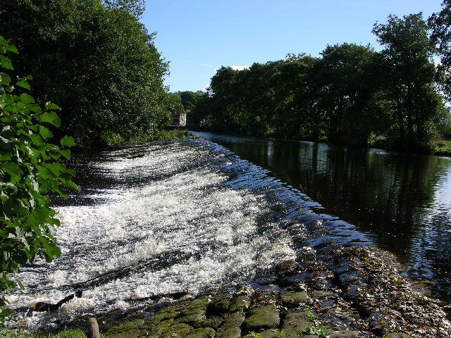
New York is a settlement in Nidderdale in the Harrogate district of North Yorkshire, England. It is on the River Nidd, near Summerbridge, and about 2...
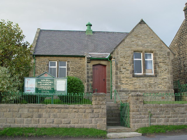
Wilsill

Wilsill is a village in Nidderdale in the Harrogate district of North Yorkshire, England. It is about 2 miles (3 km) east of Pateley Bridge on the B6165...

Summerbridge, North Yorkshire

Summerbridge is a village in Nidderdale in Harrogate district, North Yorkshire, England. It is on the River Nidd, adjacent to Dacre Banks on the opposite...

Glasshouses, North Yorkshire

Glasshouses is a small village in Nidderdale, North Yorkshire, England. It lies 1 mile (1.6 km) south-east of Pateley Bridge on the east side of Nidderdale...

Dacre railway station

Dacre railway station served the villages of Dacre and Summerbridge, North Yorkshire, England from 1862 to 1951 on the Nidd Valley Railway. == History... ==
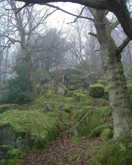
Brimham Rocks

Brimham Rocks, once known as Brimham Crags, is a 183.9-hectare (454-acre) biological Site of Special Scientific Interest (SSSI) and Geological Conservation...

Hartwith cum Winsley

Hartwith cum Winsley is a civil parish in Harrogate district, North Yorkshire, England. Historically it was a township in the ancient parish of Kirkby...

Nearby Amenities

Located within 500m of 54.069158,-1.709325
Low Laithe
Place: village
Lat/Long: 54.0688209/-1.7091219
Pub
Ye Olde Oak Inn
Addr City: Harrogate
Addr Postcode: HG3 4BU
Addr Street: Pately Bridge Road
Addr Suburb: Low Laithe
Lat/Long: 54.0689405/-1.7094757
Barrier: cattle_grid
Lat/Long: 54.0712376/-1.7114666
Ford: yes
Lat/Long: 54.0671254/-1.7129178
Barrier: stile
Lat/Long: 54.068307/-1.7042796
Barrier: stile
Lat/Long: 54.0705003/-1.712351
Post Box
Post Box Type: lamp
Lat/Long: 54.0685841/-1.7086525
Barrier: stile
Lat/Long: 54.0705536/-1.7131936
Generator Method: photovoltaic
Generator Output Electricity: yes
Generator Source: solar
Generator Type: solar_photovoltaic_panel
Power: generator
Lat/Long: 54.0687895/-1.7087403
Bus Stop
Well Lodge (Northwestbound)
Bench: no
Bin: no
Bus: yes
Departures Board: no
Naptan AtcoCode: 3200YND24350
Naptan NaptanCode: 32024350
Network: DalesBus
Operator: Harrogate Bus Company
Public Transport: platform
Shelter: no
Tactile Paving: no
Lat/Long: 54.0713131/-1.7120124
Bus Stop
Pudsey Terrace (Southeastbound)
Bench: yes
Bin: yes
Bus: yes
Departures Board: timetable
Network: DalesBus
Operator: Harrogate Bus Company
Public Transport: platform
Shelter: yes
Tactile Paving: no
Lat/Long: 54.0680751/-1.7081936
Bus Stop
Pudsey Terrace (Northwestbound)
Bench: no
Bin: no
Bus: yes
Departures Board: timetable
Naptan AtcoCode: 3200YND24340
Naptan NaptanCode: 32024340
Network: DalesBus
Operator: Harrogate Bus Company
Public Transport: platform
Shelter: no
Tactile Paving: no
Lat/Long: 54.0680986/-1.7083746
Generator Method: photovoltaic
Generator Output Electricity: yes
Generator Source: solar
Generator Type: solar_photovoltaic_panel
Location: roof
Power: generator
Lat/Long: 54.066221/-1.7076896
Barrier: stile
Lat/Long: 54.0651836/-1.7061087
Barrier: stile
Lat/Long: 54.0671147/-1.711634
Barrier: stile
Lat/Long: 54.0667576/-1.711284
The data included in this document is from www.openstreetmap.org. The data is made available under ODbL.

Have you been to Laithe, Low?

Leave your review of Laithe, Low below (or comments, questions and feedback).