Crane Rock
Coastal Feature, Headland, Point in Caithness
Scotland
Crane Rock
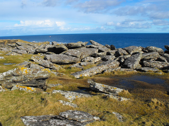
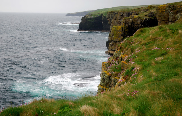
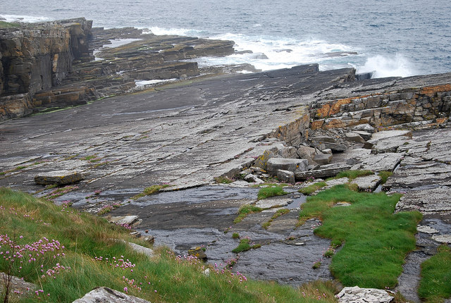
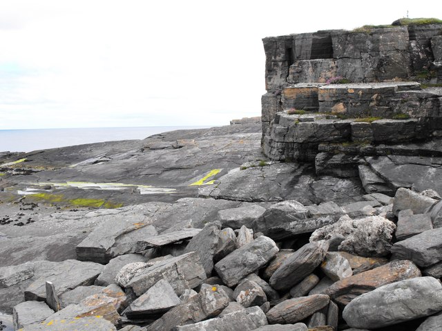
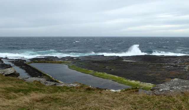
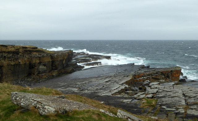
Crane Rock is a prominent coastal feature located in Caithness, Scotland. It is a headland that juts out into the North Sea, forming a distinctive point along the rugged Caithness coastline. This natural formation is renowned for its stunning beauty and geological significance.
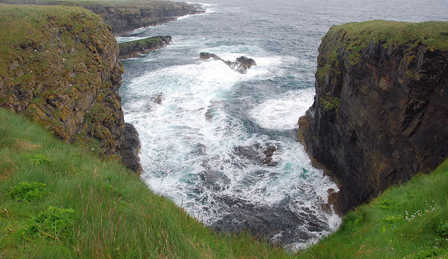
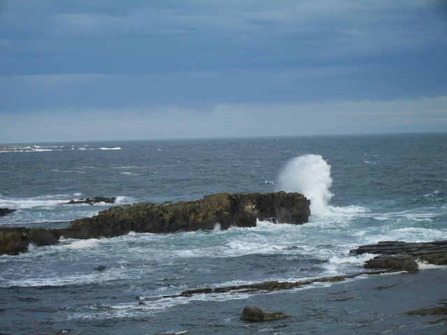
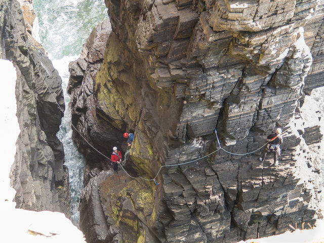
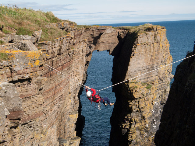
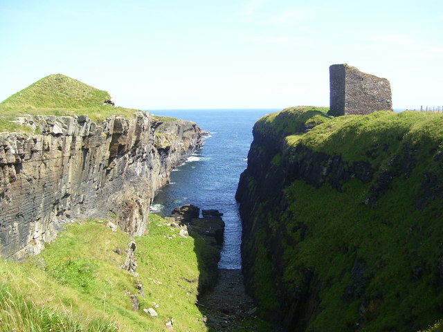
Rising dramatically from the sea, Crane Rock stands tall, offering breathtaking views of the surrounding area. Its sheer cliffs made of sandstone and conglomerate rock create a visually striking sight, especially during high tide when waves crash against the base of the headland. The rock formation itself has been sculpted by the forces of nature over millions of years, resulting in unique geological formations and intricate patterns.
The headland is home to a diverse range of flora and fauna, making it a popular spot for nature enthusiasts. Seabirds such as puffins, guillemots, and gannets can be seen nesting on the cliffs, while seals and dolphins often swim in the waters below. The surrounding waters are also known for their rich marine life, attracting divers and snorkelers who want to explore the underwater world.
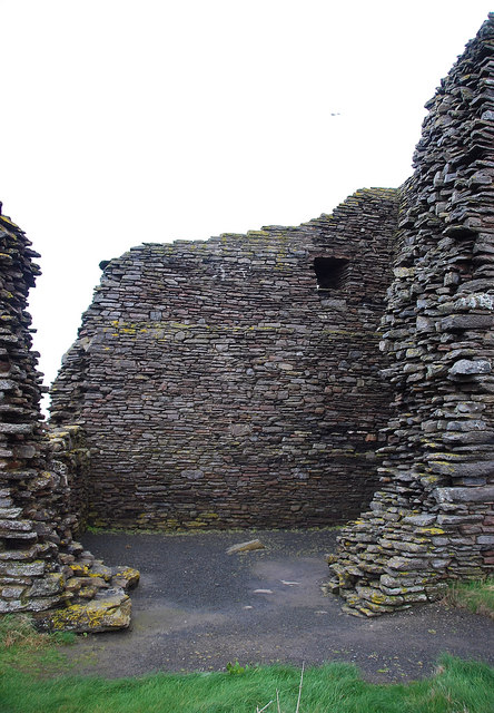
Crane Rock holds historical significance as well, with evidence of human occupation dating back to ancient times. Archaeological remains, including stone tools and structures, have been discovered in the vicinity, providing valuable insights into the early inhabitants of the area.
Overall, Crane Rock is a captivating coastal feature that showcases the raw beauty of Caithness. Its rugged cliffs, diverse wildlife, and historical significance make it a must-visit destination for nature lovers, geology enthusiasts, and history buffs alike.
If you have any feedback on the listing, please let us know in the comments section below.
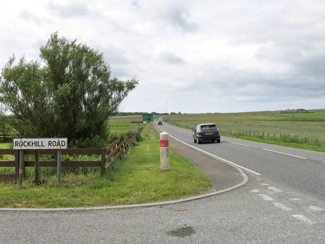
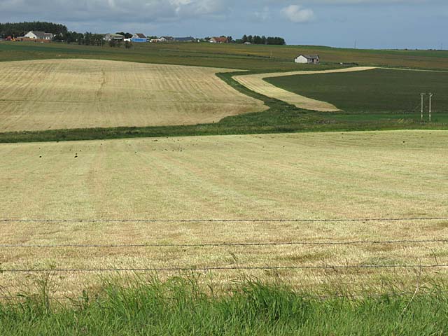
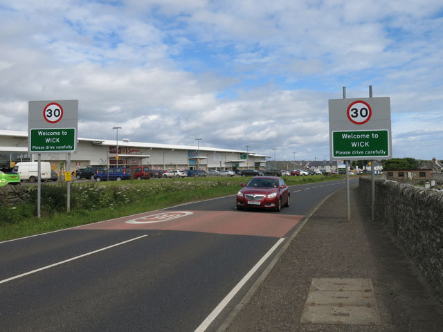
Crane Rock Images
Images are sourced within 2km of 58.435678/-3.0753006 or Grid Reference ND3750. Thanks to Geograph Open Source API. All images are credited.

Crane Rock is located at Grid Ref: ND3750 (Lat: 58.435678, Lng: -3.0753006)
Unitary Authority: Highland
Police Authority: Highlands and Islands
What 3 Words
///quicksand.taxi.champions. Near Wick, Highland
Nearby Locations
Related Wikis
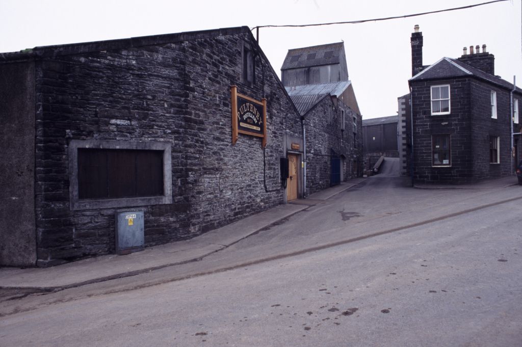
Old Pulteney distillery
Old Pulteney distillery is a malt whisky production and aging facility in the Pulteneytown area of Wick, Caithness, in the Highland area of Scotland. The...

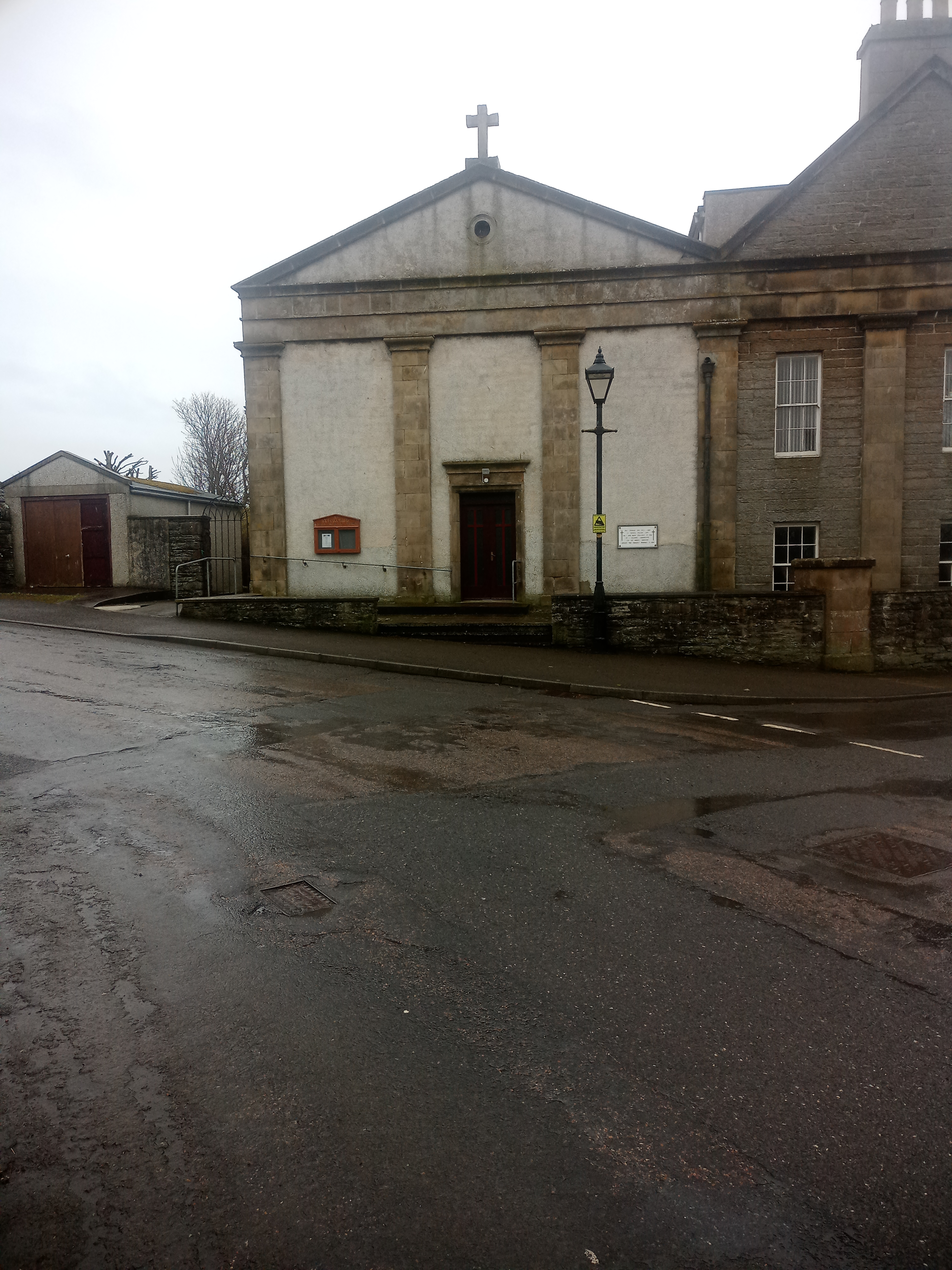
Pulteneytown Parish Church
Pulteneytown Parish Church is located in Argyle Square, Pulteneytown, Wick, Caithness, Scotland. It is a congregation in the Church of Scotland. The church...

Pulteneytown Central Church
Pulteneytown Central Church was founded in 1806 in the Pulteneytown area of Wick in Caithness in the far north of Scotland. As years went by, it was renamed...
St Joachim's Church, Wick
St Joachim's Church is a Category B listed Roman Catholic church in Wick, Scotland. == History == There was no significant Catholic congregation in Wick...

Harmsworth Park
Harmsworth Park is a football ground in Wick in the Scottish Highlands of Scotland, which is the home ground of Highland Football League side Wick Academy...

County Offices, Wick
County Offices, formerly Stafford Place, is a municipal structure in the High Street, Wick, Caithness, Scotland. The façade of the building, which was...

Wick Sheriff Court
Wick Sheriff Court is a judicial structure in Bridge Street, Wick, Caithness, Scotland. The structure, which remains in use as a courthouse, is a Category...
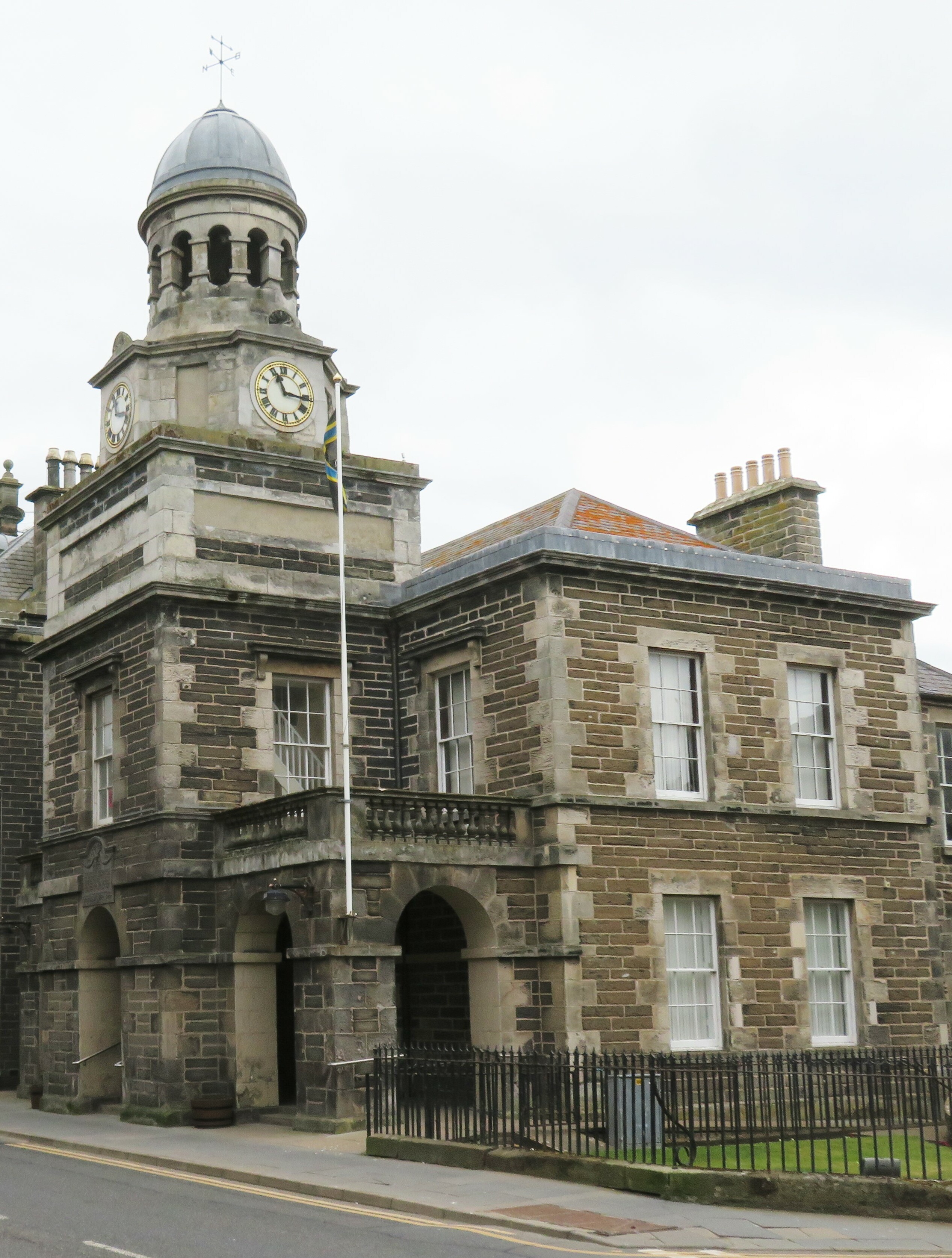
Wick Town Hall
Wick Town Hall is a municipal building in Bridge Street, Wick, in the Highland area of Scotland. The structure, which is used as a community events venue...
Nearby Amenities
Located within 500m of 58.435678,-3.0753006Have you been to Crane Rock?
Leave your review of Crane Rock below (or comments, questions and feedback).