Nor Hellia
Coastal Feature, Headland, Point in Orkney
Scotland
Nor Hellia
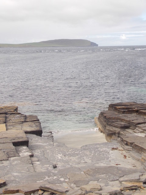
Nor Hellia is a prominent coastal feature located in the Orkney Islands, a group of islands situated off the northeastern coast of Scotland. It is classified as a headland or point due to its distinct shape and geographical characteristics. Nor Hellia is positioned on the northernmost tip of the island of Helliar Holm, which is part of the larger Orkney archipelago.
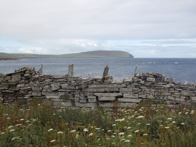
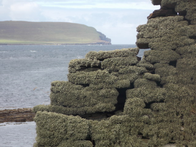
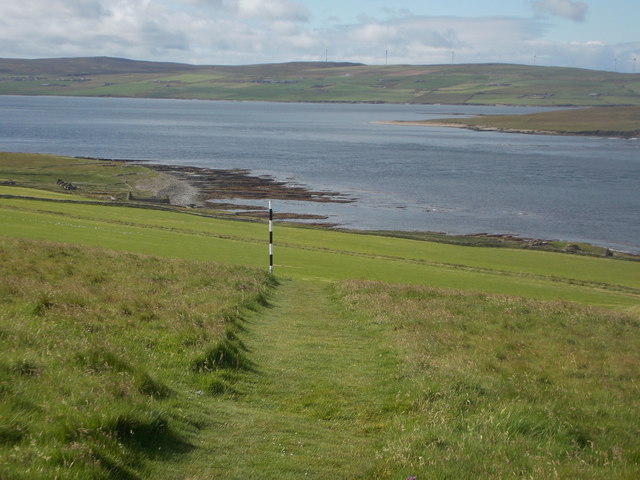
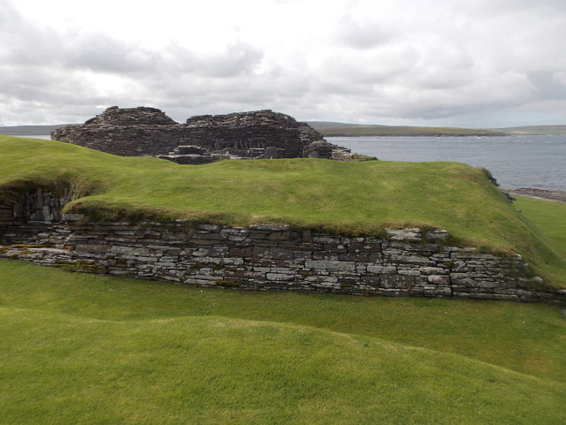
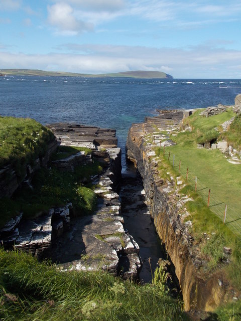
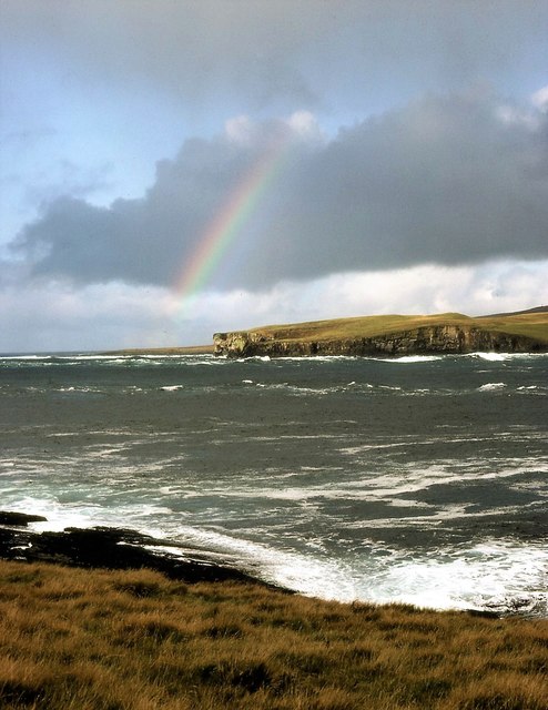
The headland of Nor Hellia stands out due to its rugged and rocky terrain, with steep cliffs that rise dramatically from the surrounding sea. These cliffs, which are composed of sedimentary rocks, reach heights of approximately 100 feet, providing a commanding view of the surrounding waters.
The location of Nor Hellia makes it an ideal spot for observing marine wildlife. The surrounding waters are abundant with various species of seabirds, including puffins, guillemots, and razorbills. Seals can also be spotted basking on the rocks or swimming in the nearby waters.
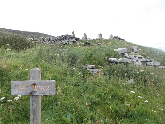
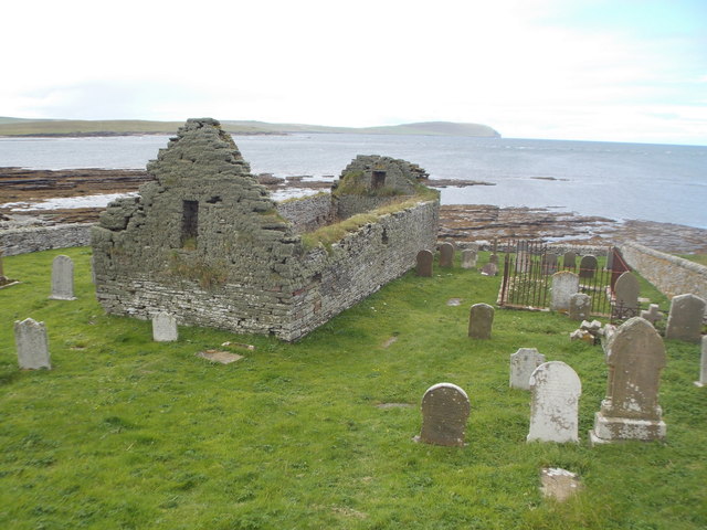
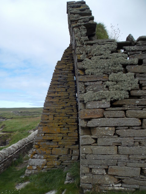
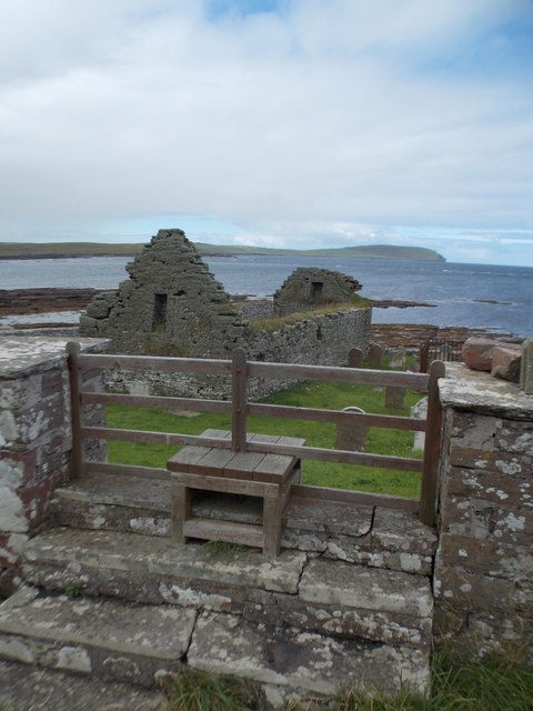
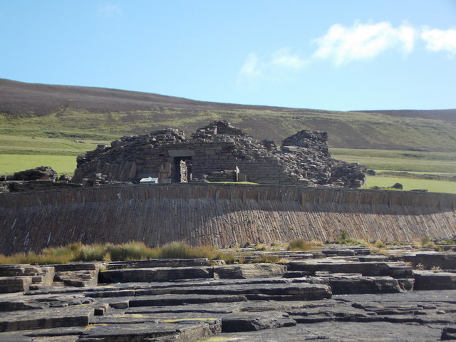
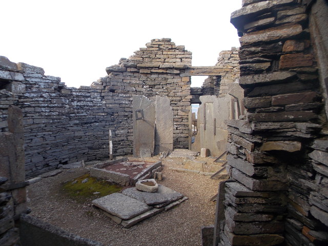
In addition to its natural beauty, Nor Hellia is also of historical significance. The headland is home to the remains of an ancient Norse settlement, which dates back to the Viking era. Archaeological excavations have uncovered evidence of settlements, including stone structures and artifacts, shedding light on the lives and culture of the Viking inhabitants.
Nor Hellia attracts both nature enthusiasts and history buffs, offering a unique blend of scenic beauty and historical intrigue. Its remote location and unspoiled surroundings make it a must-visit destination for those seeking an authentic Orkney experience.
If you have any feedback on the listing, please let us know in the comments section below.
Nor Hellia Images
Images are sourced within 2km of 59.156527/-3.0997607 or Grid Reference HY3730. Thanks to Geograph Open Source API. All images are credited.
Nor Hellia is located at Grid Ref: HY3730 (Lat: 59.156527, Lng: -3.0997607)
Unitary Authority: Orkney Islands
Police Authority: Highlands and Islands
What 3 Words
///park.adjusting.alternate. Near Evie, Orkney Islands
Nearby Locations
Related Wikis

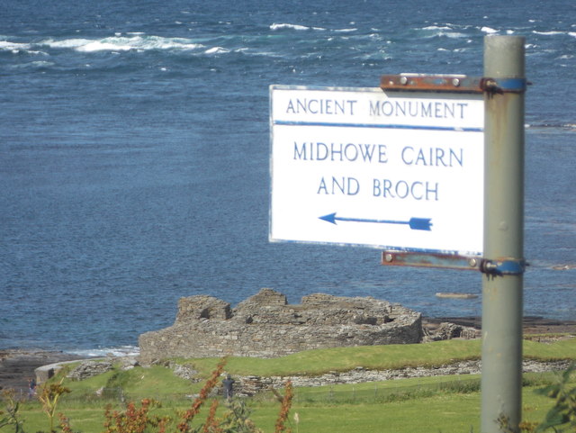
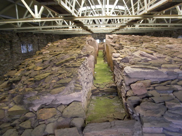
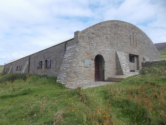
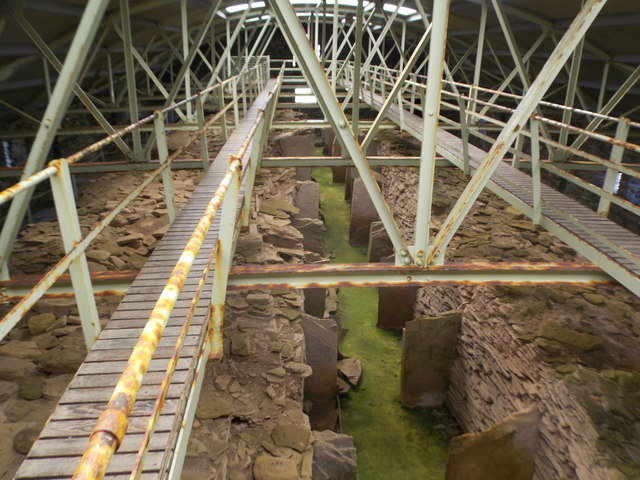
Midhowe Chambered Cairn
Midhowe Chambered Cairn is a large Neolithic chambered cairn located on the south shore of the island of Rousay, Orkney, Scotland. The name "Midhowe" comes...

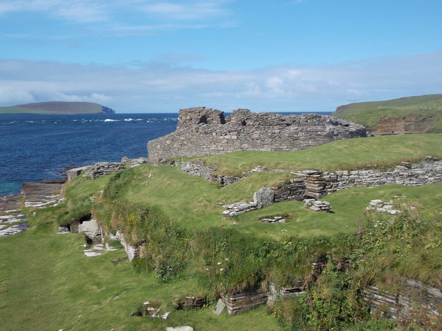
Midhowe Broch
Midhowe Broch () is an Iron Age broch located on the west coast of the island of Rousay in the Orkney Islands, in Scotland. == Description == Midhowe...

Knowe of Swandro
The Knowe of Swandro is an archaeological site located on the Bay of Swandro on Rousay in Orkney, Scotland. The site consists of a 5000-year-old Neolithic...

Eynhallow
Eynhallow (Scots: Eynhallow; Old Norse: Eyinhelga; Norn: Øjinhellig) is a small, presently uninhabited island, part of Orkney, off the north coast of mainland...
Nearby Amenities
Located within 500m of 59.156527,-3.0997607Have you been to Nor Hellia?
Leave your review of Nor Hellia below (or comments, questions and feedback).