Sand Geo
Coastal Feature, Headland, Point in Orkney
Scotland
Sand Geo
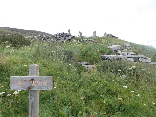
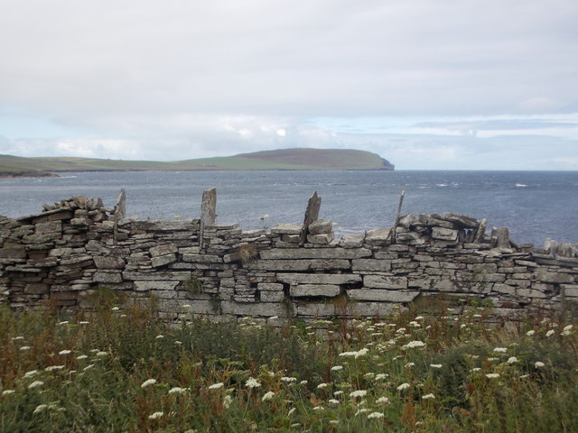
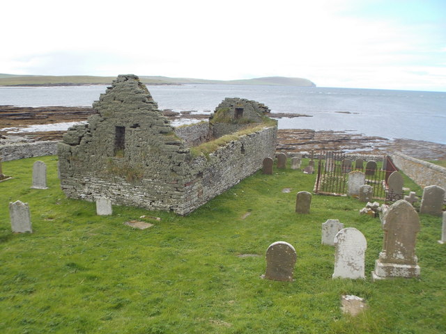
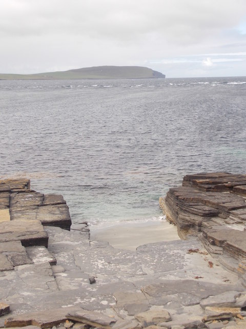
Sand Geo is a coastal feature located on the northeastern coast of Orkney, an archipelago in Scotland. It is a prominent headland that extends into the sea, forming a distinct point along the rugged coastline. The headland is characterized by its sandy beach, which gives it its name.
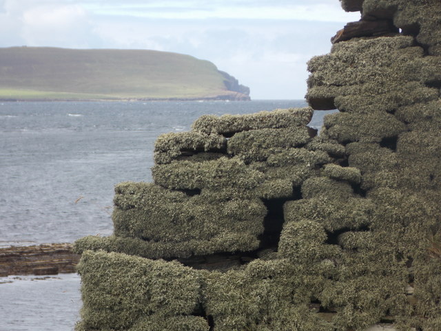
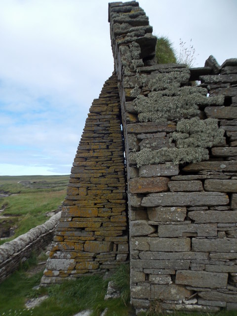
Sand Geo is situated in close proximity to the village of Sanday, and it offers stunning panoramic views of the surrounding landscape. The headland is composed of sedimentary rocks, including sandstone and shale, which have been shaped by the relentless action of the waves over time. This has resulted in the formation of cliffs and steep slopes along the edge of the headland.
The sandy beach at Sand Geo is a popular spot for locals and visitors alike. It provides opportunities for leisure activities such as sunbathing, picnicking, and beachcombing. The clear waters surrounding the headland also make it a great spot for swimming and snorkeling, especially during the summer months.
The area surrounding Sand Geo is rich in biodiversity, with various species of seabirds nesting on the cliffs and in the nearby sand dunes. The headland is also home to a variety of plant species, including sea thrift and sea campion, which add vibrant splashes of color to the landscape.
Overall, Sand Geo is a picturesque coastal feature that offers a unique combination of sandy beach, rugged cliffs, and diverse wildlife. It is a must-visit destination for nature lovers and those seeking a tranquil escape along the Orkney coastline.
If you have any feedback on the listing, please let us know in the comments section below.
Sand Geo Images
Images are sourced within 2km of 59.156957/-3.1009111 or Grid Reference HY3730. Thanks to Geograph Open Source API. All images are credited.
Sand Geo is located at Grid Ref: HY3730 (Lat: 59.156957, Lng: -3.1009111)
Unitary Authority: Orkney Islands
Police Authority: Highlands and Islands
What 3 Words
///greet.inhales.servers. Near Evie, Orkney Islands
Nearby Locations
Related Wikis

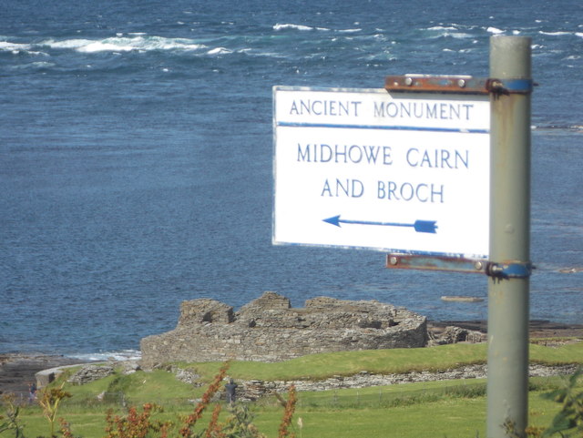
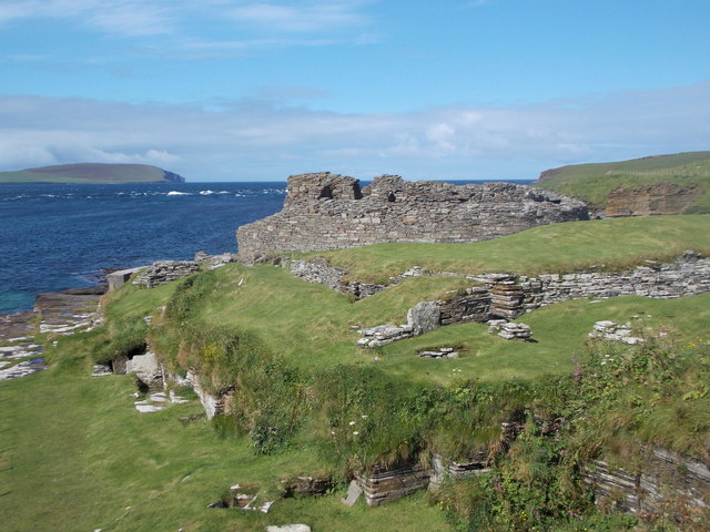
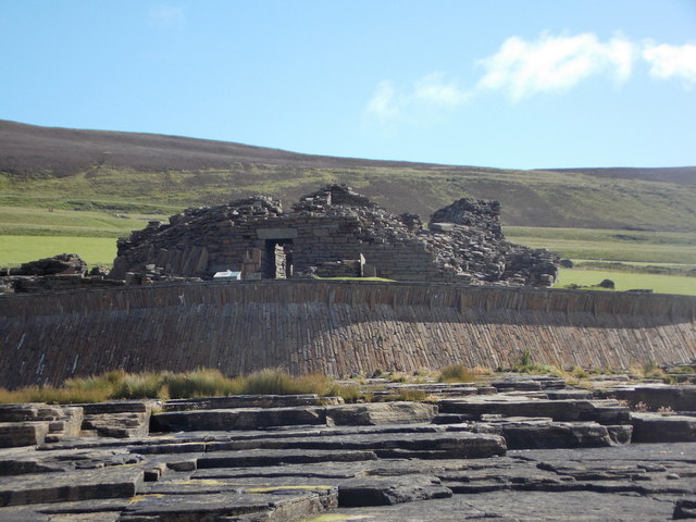
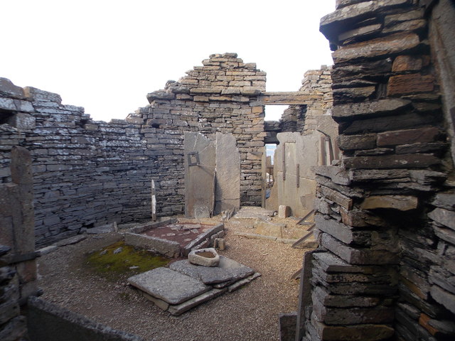
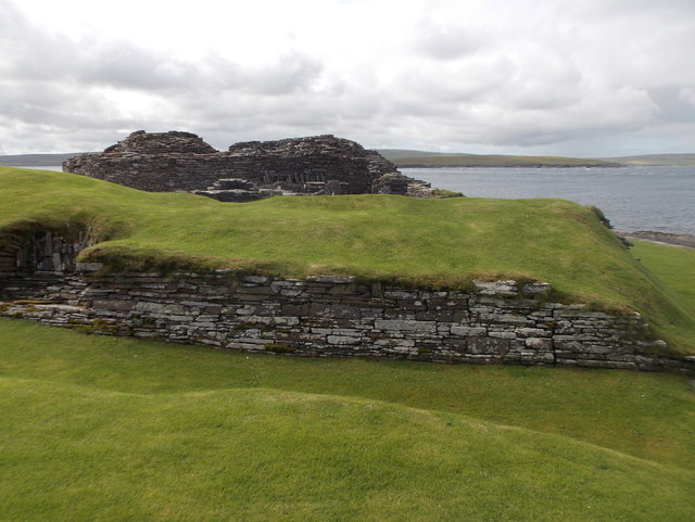
Midhowe Broch
Midhowe Broch () is an Iron Age broch located on the west coast of the island of Rousay in the Orkney Islands, in Scotland. == Description == Midhowe...

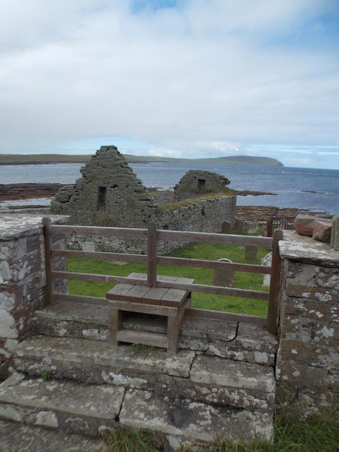
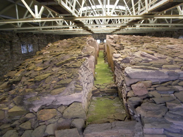
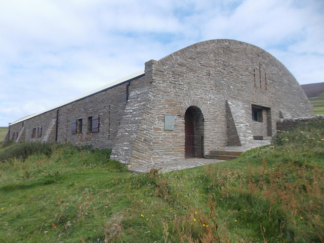
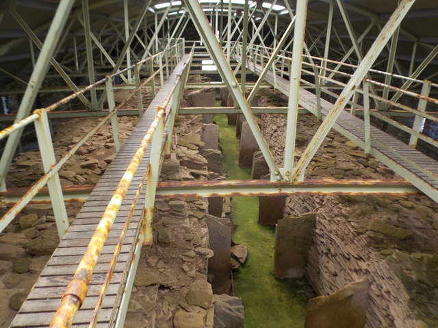
Midhowe Chambered Cairn
Midhowe Chambered Cairn is a large Neolithic chambered cairn located on the south shore of the island of Rousay, Orkney, Scotland. The name "Midhowe" comes...

Knowe of Swandro
The Knowe of Swandro is an archaeological site located on the Bay of Swandro on Rousay in Orkney, Scotland. The site consists of a 5000-year-old Neolithic...

Eynhallow
Eynhallow (Scots: Eynhallow; Old Norse: Eyinhelga; Norn: Øjinhellig) is a small, presently uninhabited island, part of Orkney, off the north coast of mainland...
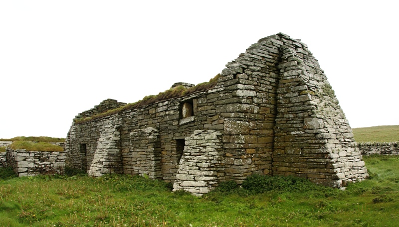
Eynhallow Church
Eynhallow Church is a ruined medieval church located on the uninhabited island of Eynhallow in Orkney, Scotland. The church dates back to the 12th-century...
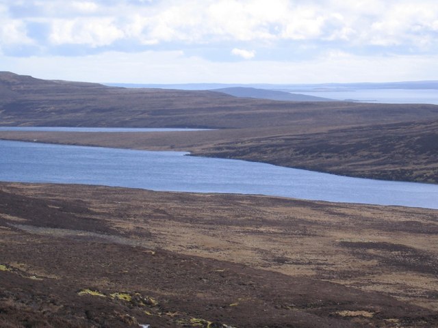
Muckle Water
Muckle Water is a long, narrow fresh water loch on Ward Hill on Rousay, Orkney, Scotland. It is the biggest loch on the island and is popular for fishing...

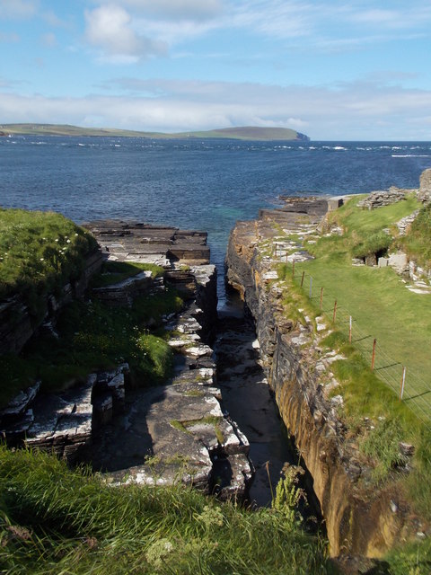
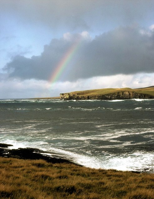
Eynhallow Sound
Eynhallow Sound is a seaway lying between Mainland Orkney and the island of Rousay in the Orkney Islands, Scotland. The tidal indraught is "scarcely felt...

Point of Hellia
The Point of Hellia is a headland on the northwest coast of the Orkney Mainland, Scotland. This landform extends into the southern part of Eynhallow Sound...
Nearby Amenities
Located within 500m of 59.156957,-3.1009111Have you been to Sand Geo?
Leave your review of Sand Geo below (or comments, questions and feedback).