Greenie Geo
Coastal Feature, Headland, Point in Caithness
Scotland
Greenie Geo

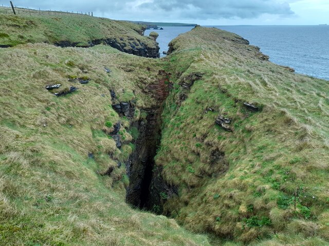
Greenie Geo is a prominent coastal feature located in Caithness, Scotland. It is a headland that juts out into the North Sea, forming a distinct point on the coastline. The name "Greenie Geo" is derived from the Scottish term "geo," which refers to a narrow, steep-sided inlet or cove.
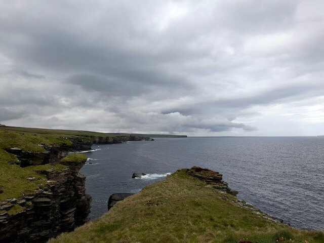
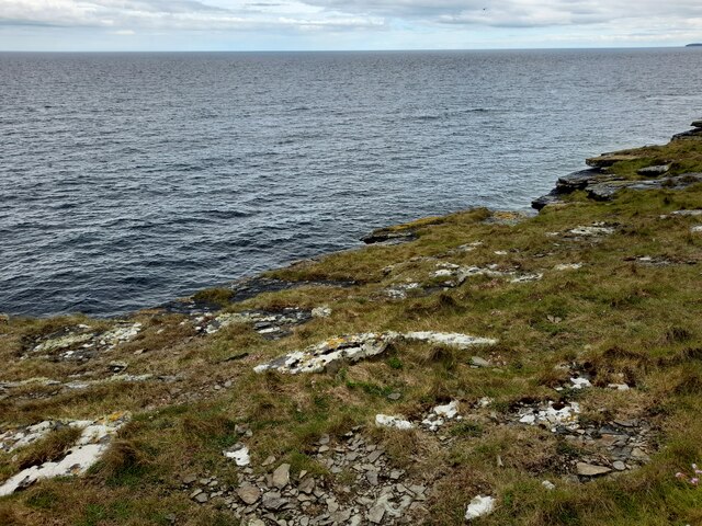
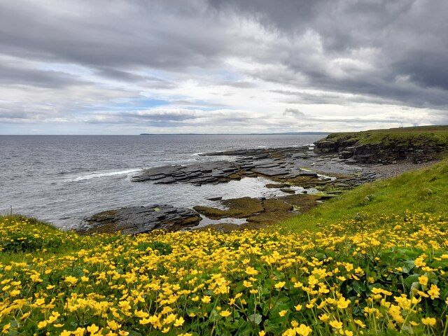
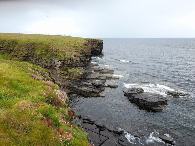
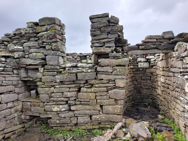
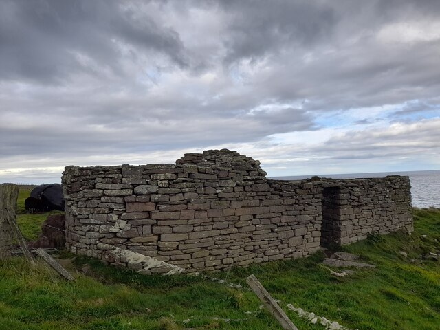
This headland is characterized by its rugged and dramatic cliffs, which rise up to impressive heights above the sea. The cliffs are composed of sandstone and shale, displaying layers of sedimentary rock that have been shaped over millions of years by natural forces such as erosion and weathering.
Greenie Geo offers breathtaking panoramic views of the surrounding coastal landscape. From this vantage point, visitors can observe the vast expanse of the North Sea and the rocky coastline stretching out in both directions. The headland is also known for its diverse wildlife, including seabirds such as puffins, razorbills, and fulmars, which nest on the cliffs.
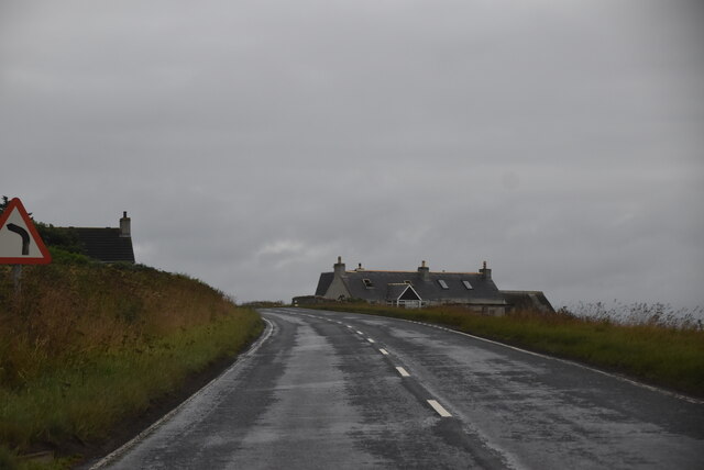
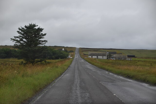
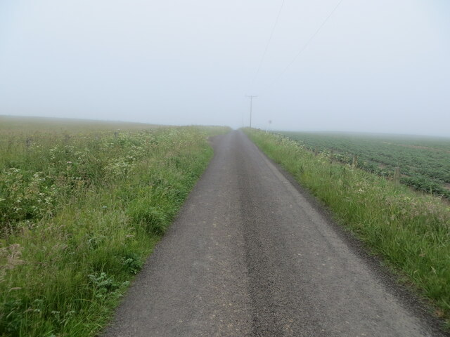
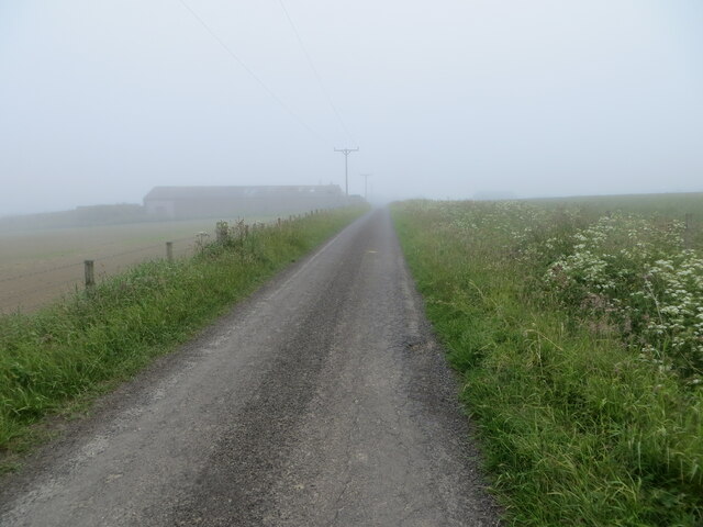
Access to Greenie Geo is relatively easy, with a well-maintained footpath leading to the headland. However, caution is advised as the cliffs can be dangerous, especially during inclement weather or high tides. Visitors are advised to stay on designated paths and avoid getting too close to the cliff edges.
Greenie Geo is a popular destination for nature enthusiasts, photographers, and hikers who are drawn to its stunning natural beauty and unique geological features. It is a place where visitors can immerse themselves in the wild and untamed beauty of the Scottish coast.
If you have any feedback on the listing, please let us know in the comments section below.
Greenie Geo Images
Images are sourced within 2km of 58.55655/-3.0812026 or Grid Reference ND3763. Thanks to Geograph Open Source API. All images are credited.

Greenie Geo is located at Grid Ref: ND3763 (Lat: 58.55655, Lng: -3.0812026)
Unitary Authority: Highland
Police Authority: Highlands and Islands
What 3 Words
///hero.confident.bandaged. Near John o' Groats, Highland
Nearby Locations
Related Wikis

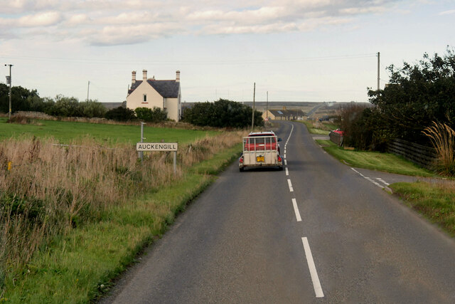
Auckengill
Auckengill is a settlement, 6 miles (10 kilometres) south of John o' Groats, on the east coast of Caithness, within the Scottish council area of Highland...
Nybster
Nybster is a scattered rural and crofting township, situated in Caithness and is in the Scottish council area of Highland. It is located along the A9 road...

Keiss Castle
Keiss Castle is a partially ruined castle in Scotland, which stands on sheer cliffs overlooking Sinclair's Bay less than one mile north of Keiss village...

Keiss
Keiss (Scottish Gaelic: Cèis) is a fishing village at the northern end of Sinclair's Bay on the east coast of Caithness county in Scotland's Highland...
Nearby Amenities
Located within 500m of 58.55655,-3.0812026Have you been to Greenie Geo?
Leave your review of Greenie Geo below (or comments, questions and feedback).