Windy Geo
Coastal Feature, Headland, Point in Caithness
Scotland
Windy Geo

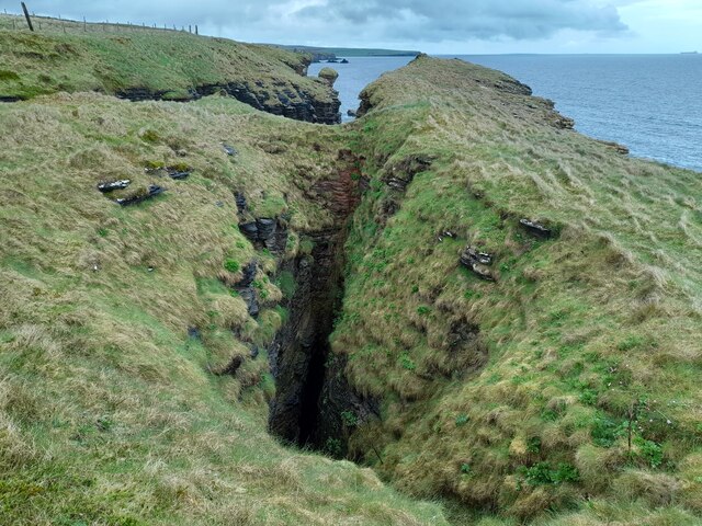
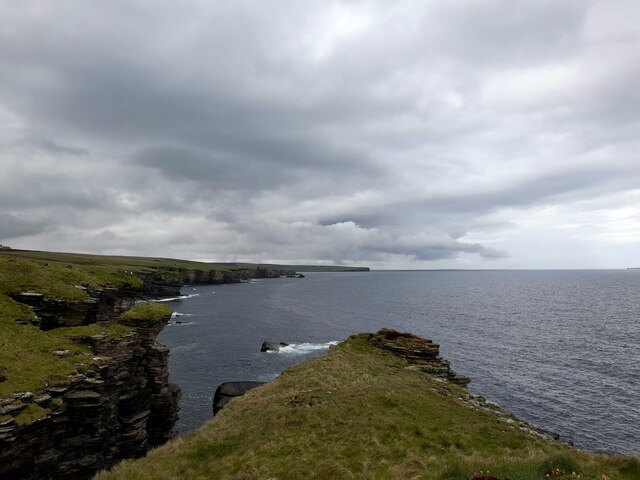
Windy Geo is a prominent coastal feature located in Caithness, Scotland. Situated on the northeastern tip of the country, it is specifically classified as a headland or point due to its unique geographical characteristics. The name "Windy Geo" aptly describes the prevailing weather conditions experienced in the area, with strong winds being a common occurrence.
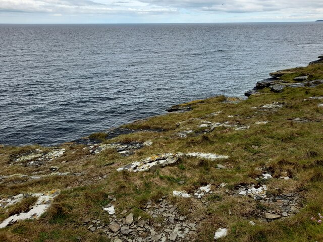
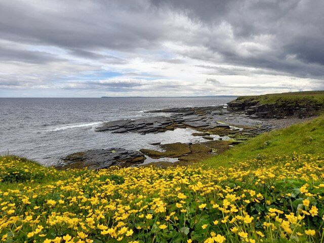
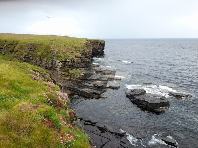
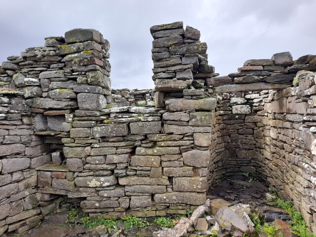
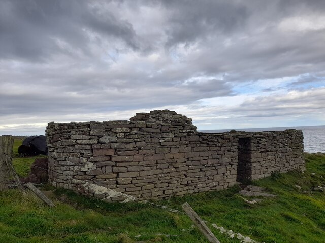
This coastal feature is characterized by its rocky cliffs and rugged terrain, which make it an impressive sight for visitors. The cliffs at Windy Geo are composed of sedimentary rocks, showcasing layers of sandstone and shale that have been sculpted over centuries by the relentless action of wind and waves. The constant erosion has created fascinating geological formations, including sea caves and arches, which add to the overall beauty and allure of the location.
Windy Geo offers breathtaking vistas of the North Sea, with panoramic views stretching out towards the horizon. The crashing waves against the cliffs create a dramatic backdrop, and the salty sea spray can often be felt in the air. The headland is a popular spot for birdwatching, as it serves as a nesting ground for various seabirds, including puffins and guillemots. Wildlife enthusiasts can also spot seals basking on the rocks, adding to the diverse ecosystem of the area.
Given its exposed location, visitors are advised to take caution when exploring Windy Geo, as the strong winds and slippery terrain can be hazardous. However, for those willing to brave the elements, this coastal feature offers a unique opportunity to experience the raw power of nature and witness the stunning beauty of Scotland's coastline.
If you have any feedback on the listing, please let us know in the comments section below.
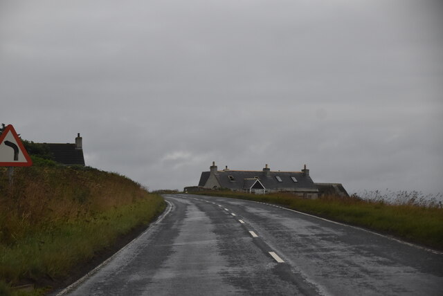
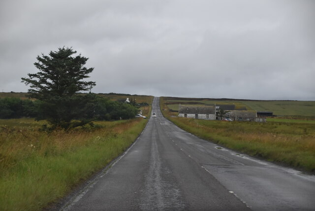
Windy Geo Images
Images are sourced within 2km of 58.556999/-3.0801853 or Grid Reference ND3763. Thanks to Geograph Open Source API. All images are credited.

Windy Geo is located at Grid Ref: ND3763 (Lat: 58.556999, Lng: -3.0801853)
Unitary Authority: Highland
Police Authority: Highlands and Islands
What 3 Words
///culminate.twigs.cheater. Near John o' Groats, Highland
Nearby Locations
Related Wikis

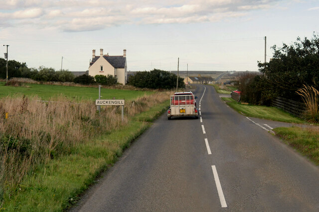
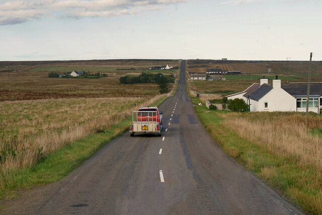
Auckengill
Auckengill is a settlement, 6 miles (10 kilometres) south of John o' Groats, on the east coast of Caithness, within the Scottish council area of Highland...
Nybster
Nybster is a scattered rural and crofting township, situated in Caithness and is in the Scottish council area of Highland. It is located along the A9 road...

Keiss Castle
Keiss Castle is a partially ruined castle in Scotland, which stands on sheer cliffs overlooking Sinclair's Bay less than one mile north of Keiss village...

Keiss
Keiss (Scottish Gaelic: Cèis) is a fishing village at the northern end of Sinclair's Bay on the east coast of Caithness county in Scotland's Highland...

Freswick
Freswick ( FREZZ-ik) or Skirsa, is a small remote hamlet, overlooking Freswick Bay to the east, in eastern Caithness, Scottish Highlands and is in the...

Skirza
Skirza or Skirsa, is a small remote linear fishing village, overlooking Freswick Bay to the south and Skirza Head to the southeast, in eastern Caithness...

Sinclairs Bay
Sinclairs Bay is a large remote, breast shaped, or left leaf of a tear drop shaped, coastal embayment, on the east coast of Scotland, in east Caithness...

Wester Pipe Railway
The Wester Pipe Railway is a narrow gauge railway that runs from Hastigrow on the B876 road to Westerloch on the A99, all within Caithness. The line is...
Nearby Amenities
Located within 500m of 58.556999,-3.0801853Have you been to Windy Geo?
Leave your review of Windy Geo below (or comments, questions and feedback).