Long Geo
Coastal Feature, Headland, Point in Caithness
Scotland
Long Geo
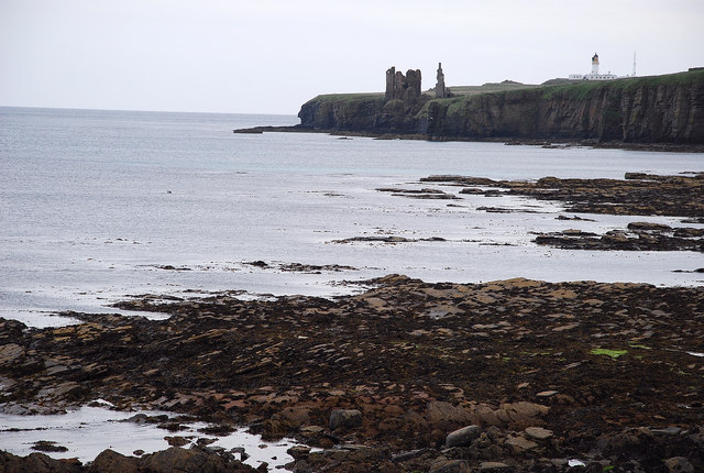
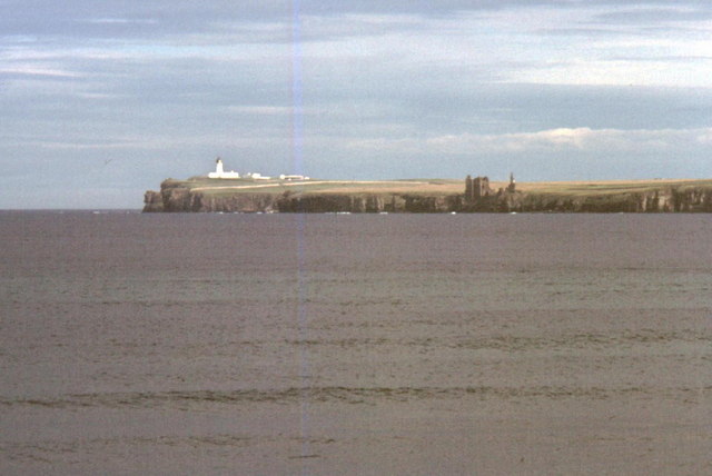
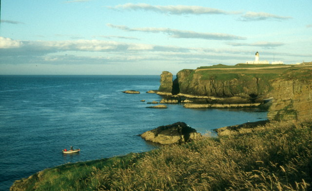
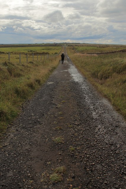
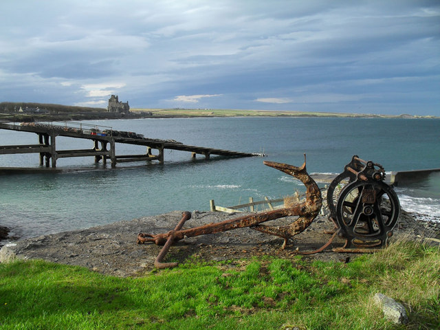
Long Geo is a prominent coastal feature located in the county of Caithness, Scotland. It is well-known for its captivating headland and picturesque point that juts out into the North Sea. This natural formation is a result of coastal erosion and has become a popular attraction for visitors and locals alike.
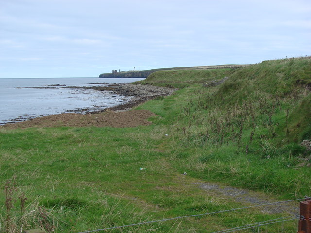
The headland of Long Geo is composed of rugged cliffs that rise dramatically from the surrounding shoreline. These cliffs are made up of layers of sedimentary rock, displaying an array of colors and textures that add to the visual appeal of the area. The constant battering of the waves against the base of the cliffs has carved out a small, sheltered bay at the point of Long Geo, creating a tranquil and serene environment.
The point itself is a narrow strip of land that extends out into the sea, providing panoramic views of the surrounding coastline. From this vantage point, visitors can enjoy breathtaking vistas of the expansive North Sea, with its ever-changing hues and crashing waves. The point is also a great spot for birdwatching, as it serves as a resting place for a variety of seabirds.
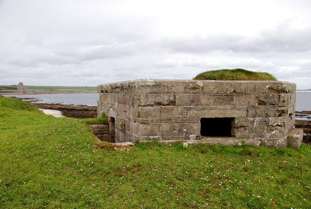
Long Geo is not only a natural wonder but also holds historical significance. It has been a site of interest for archaeologists, as evidence of human activity dating back thousands of years has been found in the vicinity. The area is also home to a rich diversity of flora and fauna, including several rare plant species that thrive in the coastal environment.
Overall, Long Geo is a captivating coastal feature that offers a unique blend of natural beauty, historical importance, and abundant wildlife. It is a destination that showcases the raw power and beauty of nature, making it a must-visit location for nature enthusiasts and history buffs alike.
If you have any feedback on the listing, please let us know in the comments section below.
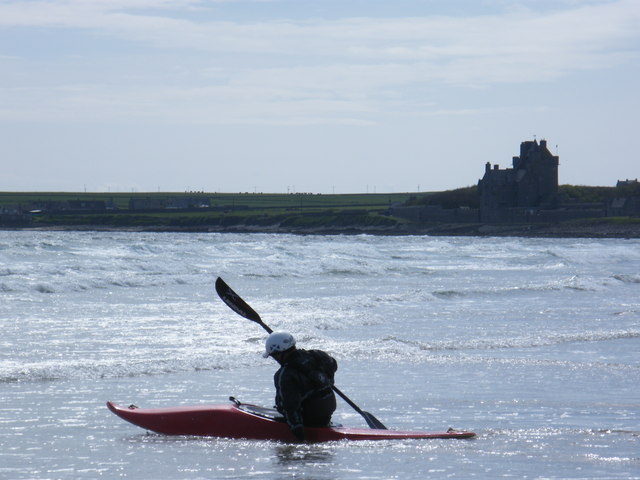
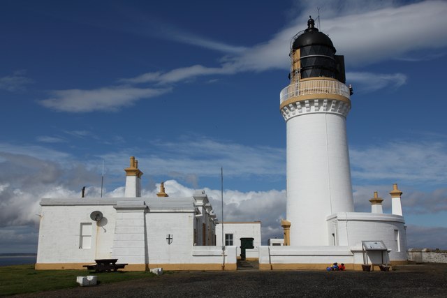
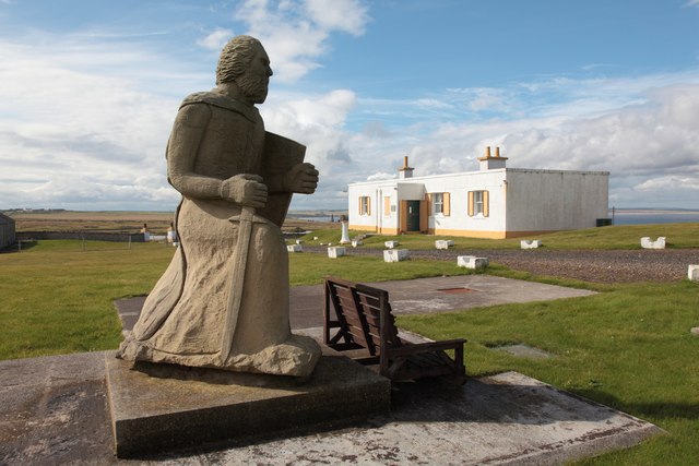
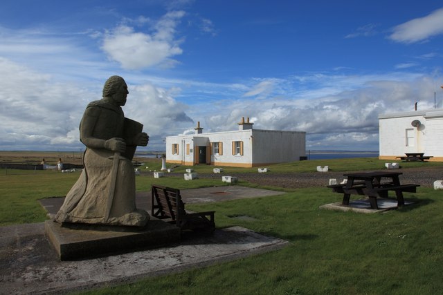
Long Geo Images
Images are sourced within 2km of 58.475374/-3.0778506 or Grid Reference ND3754. Thanks to Geograph Open Source API. All images are credited.
Long Geo is located at Grid Ref: ND3754 (Lat: 58.475374, Lng: -3.0778506)
Unitary Authority: Highland
Police Authority: Highlands and Islands
What 3 Words
///engage.panel.preheated. Near Wick, Highland
Nearby Locations
Related Wikis
Battle of Champions
The Battle of Champions was a trial by combat fought in 1478 or 1464 between two Scottish clans, Clan Gunn and Clan Keith. It took place at the chapel...

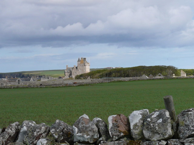
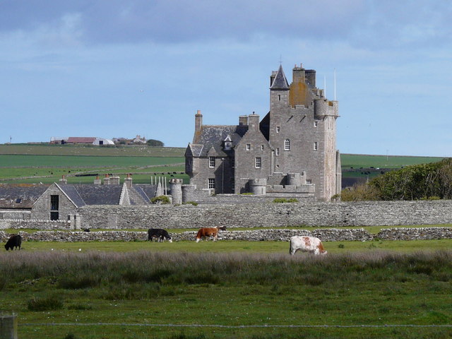
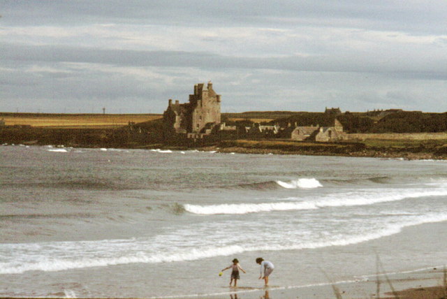
Castle Sinclair Girnigoe
Castle Sinclair Girnigoe is located about 3 miles north of Wick on the east coast of Caithness, Scotland. It is considered to be one of the earliest seats...

Noss Head
Noss Head is a headland on the north-west coast of Scotland that overlooks Sinclairs Bay. It lies approximately 5 kilometres (3.1 mi) north-east of Wick...

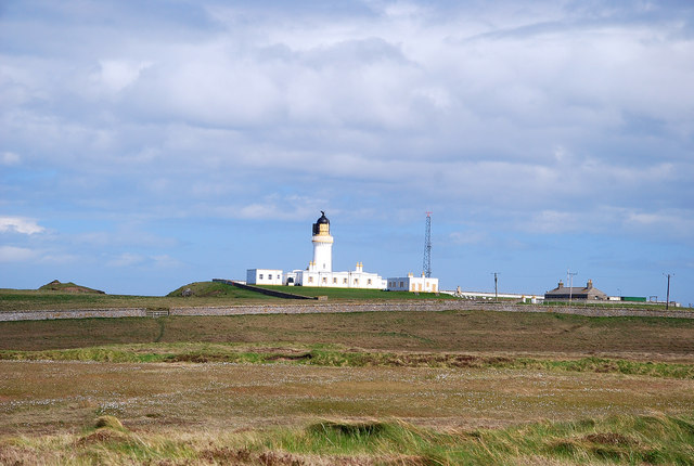
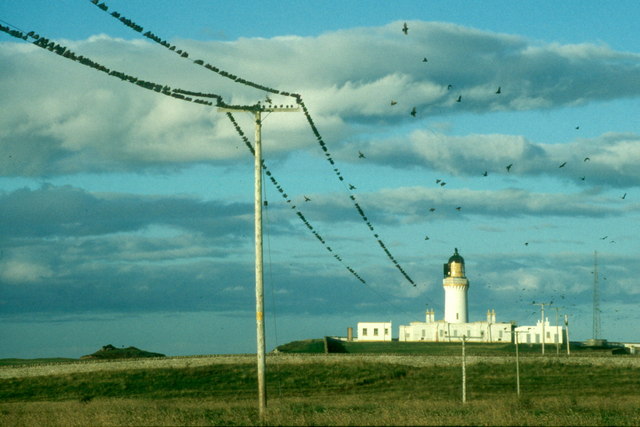
Noss Head Lighthouse
The Noss Head Lighthouse is an active 19th-century lighthouse near Wick in Caithness in the Highland council area of Scotland. It is located at the end...
Nearby Amenities
Located within 500m of 58.475374,-3.0778506Have you been to Long Geo?
Leave your review of Long Geo below (or comments, questions and feedback).