Beam Hill

Settlement in Staffordshire East Staffordshire

England

Beam Hill

Manicured Footpath This footpath is one of the best kept I have seen in a long time.  It leads to three destinations, Anslow, Beam Hill, and Field Lane.
Manicured Footpath Credit: Michael Patterson

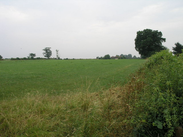
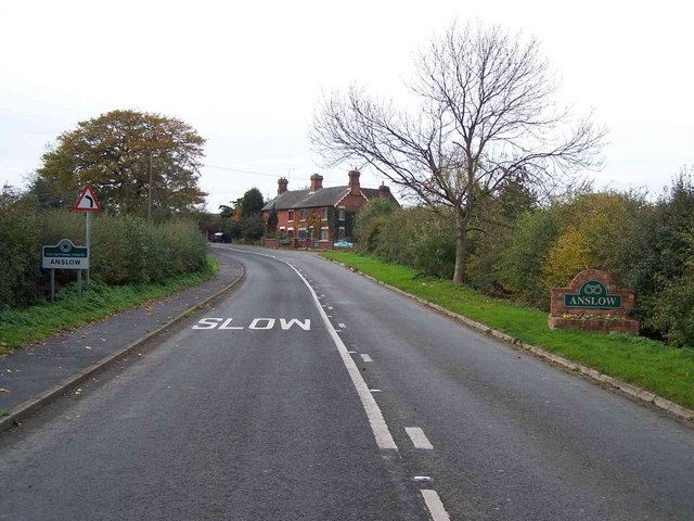
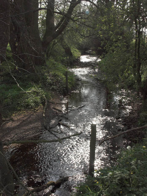
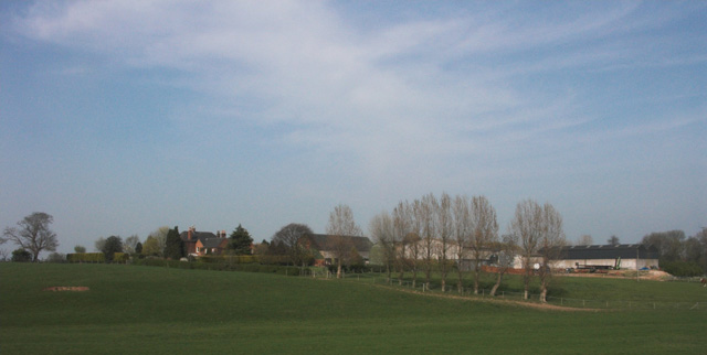
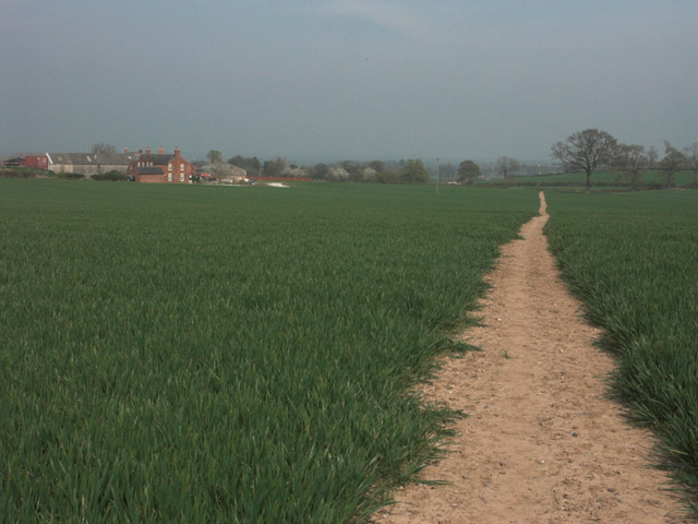
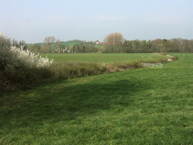
Beam Hill is a small village located in the county of Staffordshire, England. Situated approximately 8 miles south of the county town of Stafford, it is nestled within the picturesque countryside of the West Midlands region. The village is surrounded by rolling hills, verdant fields, and charming rural landscapes.

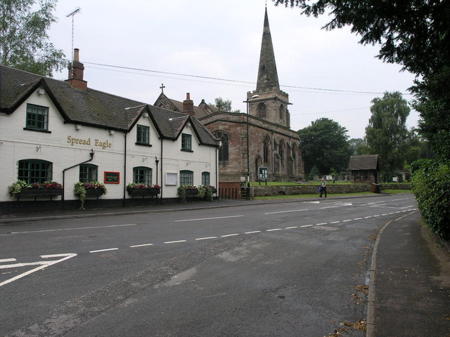
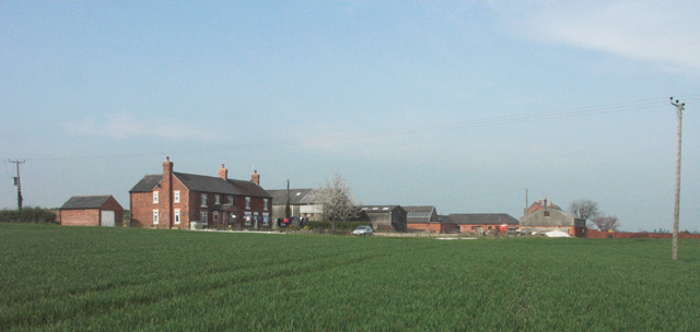
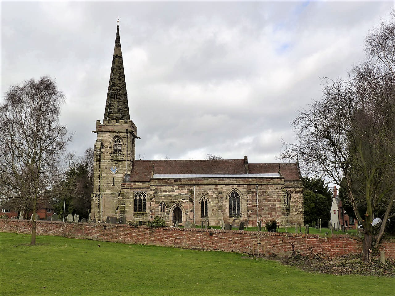
The origins of Beam Hill can be traced back to the medieval period, as evidenced by the presence of several historic buildings and structures that still stand today. These include the Grade II listed Beam Hill Farmhouse, a timber-framed building dating back to the 17th century. The village is also home to a quaint 12th-century church, St. Mary's, which serves as a focal point for the local community.

With a population of around 200 residents, Beam Hill maintains a close-knit and friendly atmosphere. The village offers a peaceful and idyllic setting, making it an attractive place for those seeking a tranquil lifestyle away from the hustle and bustle of larger towns and cities. The surrounding countryside provides ample opportunities for outdoor activities such as hiking, cycling, and horse riding.

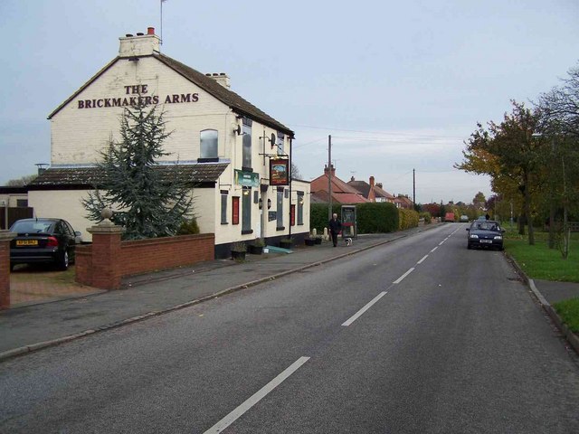
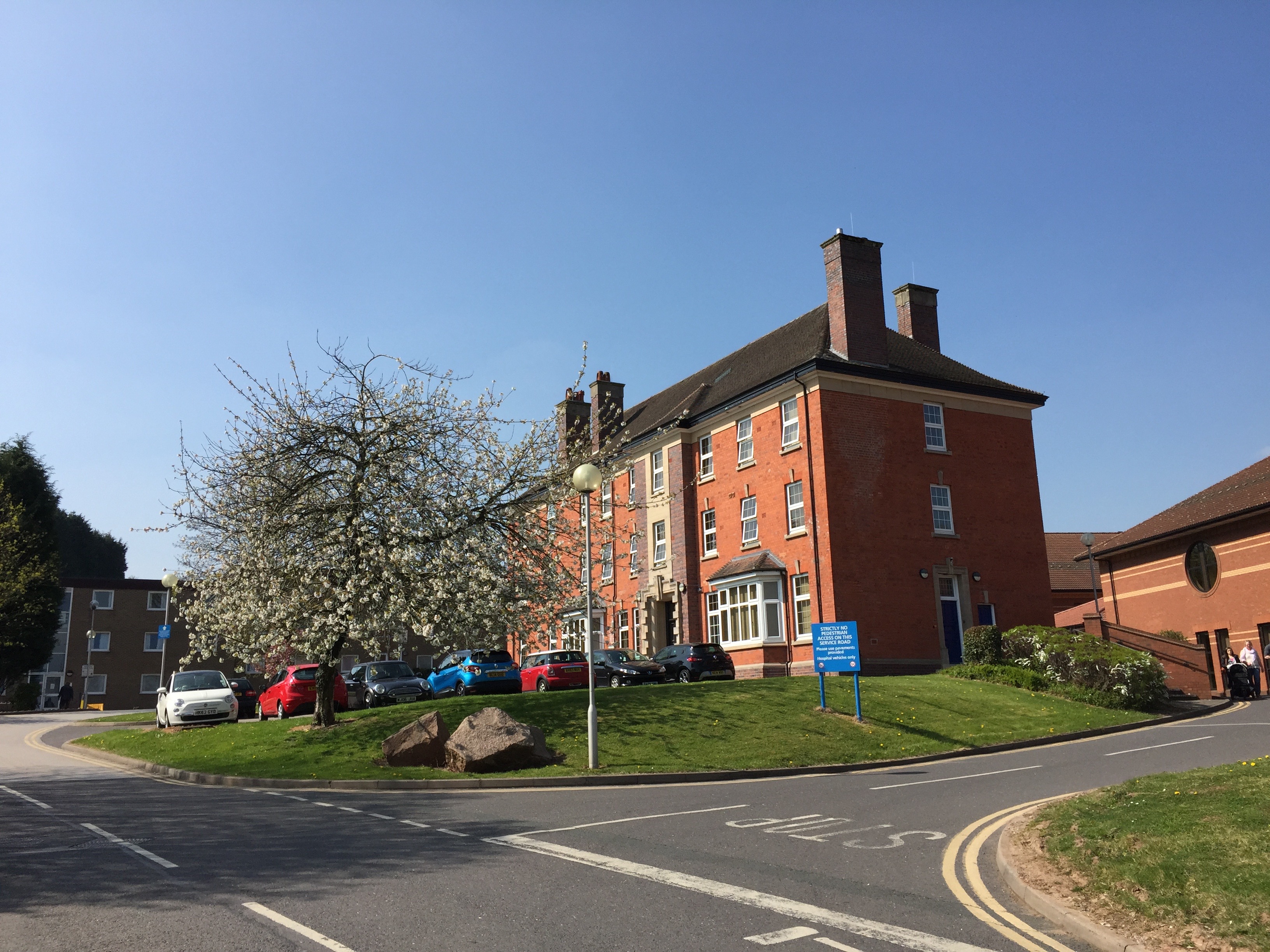
Despite its small size, Beam Hill benefits from its proximity to Stafford, which provides access to a wide range of amenities and services. The larger town offers excellent transportation links, including a railway station, making it easy for residents of Beam Hill to travel to nearby cities and towns for work or leisure.

In conclusion, Beam Hill is a charming village in Staffordshire that offers a peaceful and rural lifestyle, surrounded by stunning countryside. With its historic buildings, friendly community, and convenient access to nearby towns, it is an appealing place to live for those seeking a slower pace of life.

If you have any feedback on the listing, please let us know in the comments section below.
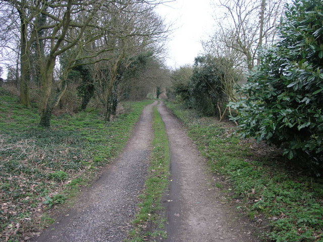
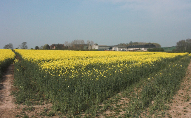
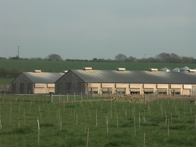
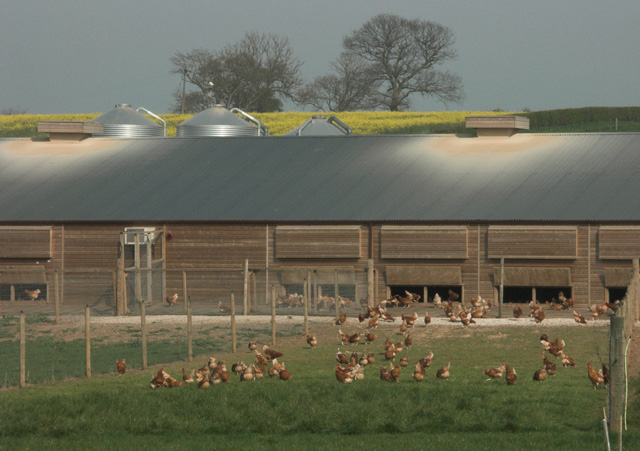
Beam Hill Images

Images are sourced within 2km of 52.831036/-1.660064 or Grid Reference SK2326. Thanks to Geograph Open Source API. All images are credited.

Manicured Footpath This footpath is one of the best kept I have seen in a long time.  It leads to three destinations, Anslow, Beam Hill, and Field Lane.
Manicured Footpath
This footpath is one of the best kept I have seen in a long time. It leads to three destinations, Anslow, Beam Hill, and Field Lane.
Queen's Hospital Another busy day for the hospital in Burton on Trent.
Queen's Hospital
Another busy day for the hospital in Burton on Trent.
Two Tier Roads Charnwood Road in front is overlooked by Field Lane which stands high on the top of a ridge.
Two Tier Roads
Charnwood Road in front is overlooked by Field Lane which stands high on the top of a ridge.
Beam Hill The gentle slope to the top of Beam Hill as seen from the road to Rolleston.
Beam Hill
The gentle slope to the top of Beam Hill as seen from the road to Rolleston.
Spread Eagle and St Mary's The church in Rolleston on Dove is dedicated to St Mary.  The Spread Eagle pub next door shares some of its architecture with many railway buildings.
Spread Eagle and St Mary's
The church in Rolleston on Dove is dedicated to St Mary. The Spread Eagle pub next door shares some of its architecture with many railway buildings.
St John's Church This Victorian Gothic Church has served the Parish of Horninglow since the foundation of St John the Divine in 1866.
St John's Church
This Victorian Gothic Church has served the Parish of Horninglow since the foundation of St John the Divine in 1866.
St John's Church and graveyard The grounds and graveyard of the Church of St John the Divine.
St John's Church and graveyard
The grounds and graveyard of the Church of St John the Divine.
The Brickmakers Arms, Upper Outwood
Hilltop Farm. Anslow
Bridleway to Alder Moor This bridleway passes by the Cemetery in Rolleston on Dove and leads to Alder Moor.
Bridleway to Alder Moor
This bridleway passes by the Cemetery in Rolleston on Dove and leads to Alder Moor.
Oilseed Rape by Rolleston Park farm
Free-range egg production unit - Anslow Park Farm This modern facility has been erected within the last two years on former open fields.
Free-range egg production unit - Anslow Park Farm
This modern facility has been erected within the last two years on former open fields.
Free range hens These hens are housed in a new large free-range egg production unit belonging to a firm called Anslow Eggs.
Free range hens
These hens are housed in a new large free-range egg production unit belonging to a firm called Anslow Eggs.
Backlit stream near Anslow This stream, which is un-named on OS maps, eventually flows into the River Dove near Rolleston on Dove.
Backlit stream near Anslow
This stream, which is un-named on OS maps, eventually flows into the River Dove near Rolleston on Dove.
Rolleston Park
Rolleston Park
Lount Farm and cottages
Well-maintained footpath near Lount Farm All the public footpaths in this grid square are well defined and clearly maintained.
Well-maintained footpath near Lount Farm
All the public footpaths in this grid square are well defined and clearly maintained.
Farmland near Rolleston on Dove
Show me another place!

Beam Hill is located at Grid Ref: SK2326 (Lat: 52.831036, Lng: -1.660064)

Administrative County: Staffordshire

District: East Staffordshire

Police Authority: Staffordshire

What 3 Words

///sooner.other.oldest. Near Burton upon Trent, Staffordshire

Nearby Locations

Beam Hill Beam Hill

Related Wikis

Related Videos

Cotswold Vlog Part 2 | Burton-on-water | Venice of Cotswolds | UK Travel | British Getaway

Cotswolds Vlog Part 2 : Burton-on the-Water Its here! Our next stop was Bourton-on-Water which is the most beautiful village in ...

MIGRANT HOTEL- ANGRY MIGRANTS, TYRANT SECURITY AND MORE BIKES

Today we visit the holiday inn migrant hotel in burton on trent. The security where very unprofessional and the migrants appeared ...

Nearby Amenities

Located within 500m of 52.831036,-1.660064
Post Box
Operator: Royal Mail
Ref: DE13 1084
Lat/Long: 52.8303467/-1.653216
Bus Stop
No. 197
Naptan AtcoCode: 3800C352001
Naptan NaptanCode: stagtada
Public Transport: platform
Lat/Long: 52.8298857/-1.6663224
Bus Stop
No. 162
Naptan AtcoCode: 3800C352002
Naptan NaptanCode: stagtamt
Public Transport: platform
Lat/Long: 52.8297439/-1.6671659
Bus Stop
No. 102
Bus: yes
Public Transport: platform
Lat/Long: 52.8295138/-1.6612771
Bus Stop
No. 102
Bus: yes
Naptan AtcoCode: 3800C346801
Naptan NaptanCode: stagptgp
Public Transport: platform
Lat/Long: 52.8294295/-1.6616634
Bus Stop
No. 56
Bus: yes
Naptan AtcoCode: 3800C346901
Public Transport: platform
Lat/Long: 52.8297244/-1.6589543
Bus Stop
No. 56
Bus: yes
Naptan AtcoCode: 3800C346902
Naptan NaptanCode: stadjapm
Public Transport: platform
Lat/Long: 52.8297082/-1.6585118
Bus Stop
Beam Close
Bus: yes
Naptan AtcoCode: 3800C324001
Naptan NaptanCode: stadgdpj
Public Transport: platform
Lat/Long: 52.8304099/-1.6541478
Bus Stop
Beam Close
Bus: yes
Naptan AtcoCode: 3800C324002
Naptan NaptanCode: stagptdg
Public Transport: platform
Lat/Long: 52.8304342/-1.6546199
Bus Stop
The Beacon Hotel
Bus: yes
Public Transport: platform
Lat/Long: 52.8314349/-1.653323
Bus Stop
The Beacon Hotel
Bus: yes
Naptan AtcoCode: 3800C300800
Naptan NaptanCode: stadajam
Public Transport: platform
Lat/Long: 52.8307251/-1.6526699
The data included in this document is from www.openstreetmap.org. The data is made available under ODbL.

Have you been to Beam Hill?

Leave your review of Beam Hill below (or comments, questions and feedback).