Beam Hill

Hill, Mountain in Staffordshire East Staffordshire

England

Beam Hill

Manicured Footpath This footpath is one of the best kept I have seen in a long time.  It leads to three destinations, Anslow, Beam Hill, and Field Lane.
Manicured Footpath Credit: Michael Patterson

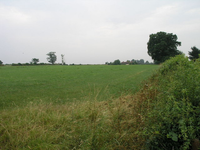
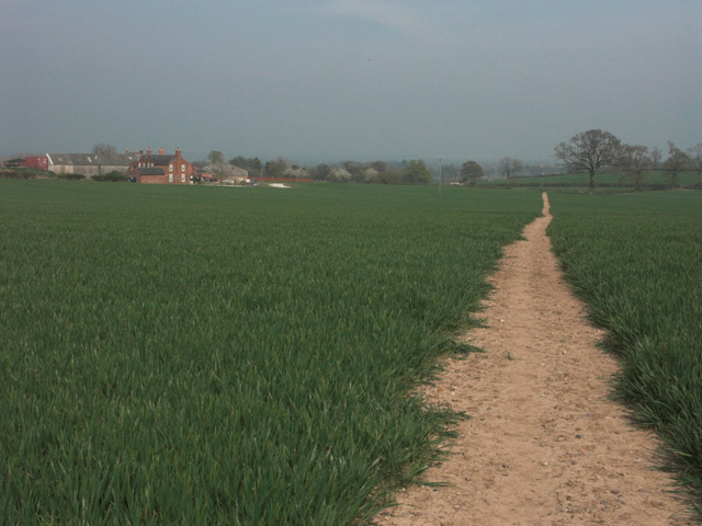
Beam Hill is a prominent hill located in the county of Staffordshire, England. Situated near the town of Uttoxeter, it forms a part of the undulating landscape of the Staffordshire Moorlands. Rising to an elevation of approximately 250 meters (820 feet), Beam Hill offers stunning panoramic views of the surrounding countryside.

The hill is known for its distinctive geological features, characterized by its exposed layers of sandstone and limestone. These rock formations provide a glimpse into the region's geological history, dating back millions of years. The hill is also rich in flora and fauna, with several species of plants and animals inhabiting its slopes.

Beam Hill has historical significance as well. It is believed to have been a site of human activity since ancient times, with evidence of prehistoric settlements and burial mounds found in the vicinity. Additionally, the hill has been used for agricultural purposes over the centuries, with evidence of farming activity and the remains of old field systems.

Today, Beam Hill is a popular destination for outdoor enthusiasts and nature lovers. It offers various walking and hiking trails, allowing visitors to explore its diverse landscapes and enjoy the breathtaking views from its summit. The hill is also a haven for wildlife, attracting birdwatchers and nature photographers.

Overall, Beam Hill stands as a significant natural and historical landmark in Staffordshire, offering visitors a unique blend of natural beauty and cultural heritage.

If you have any feedback on the listing, please let us know in the comments section below.
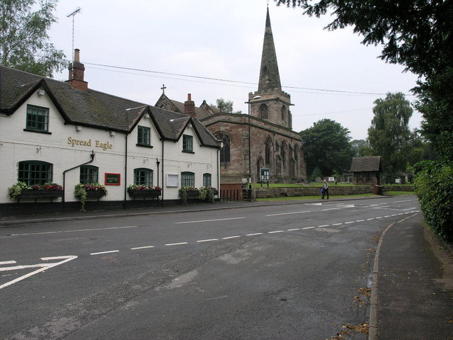
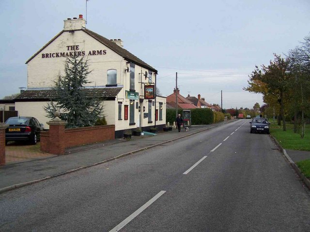
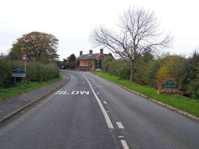
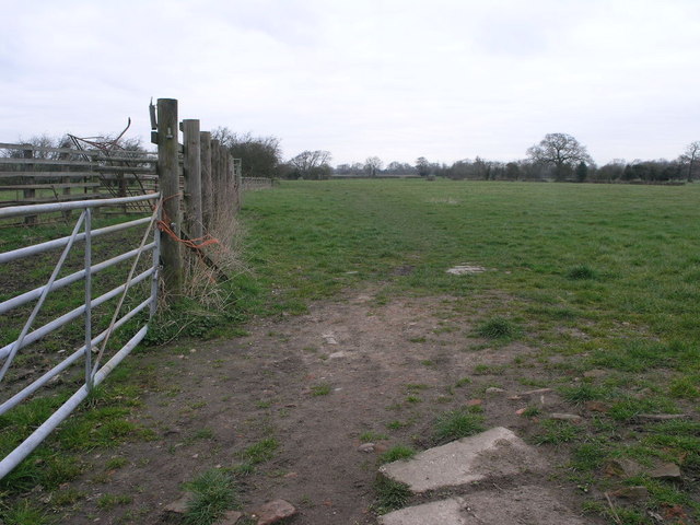
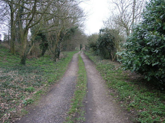
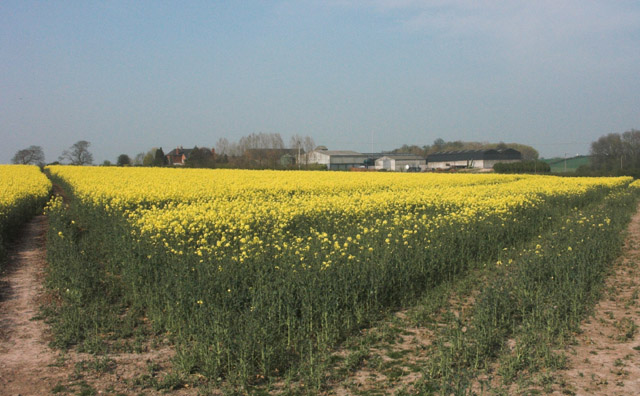
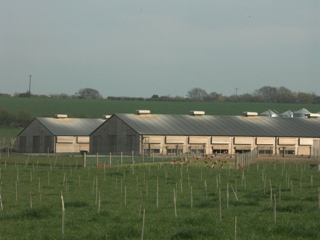
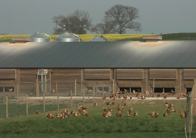
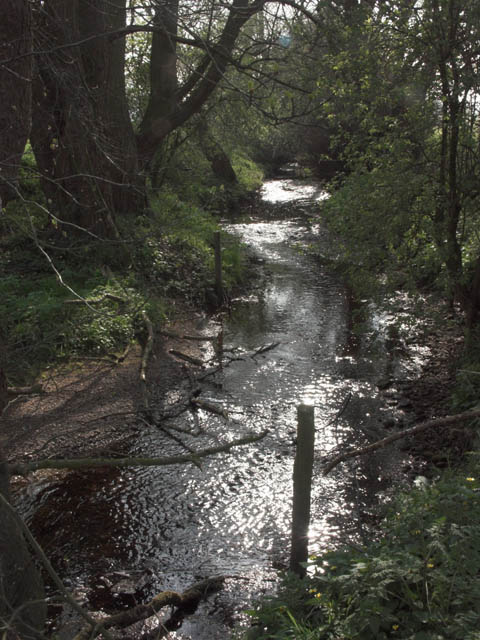
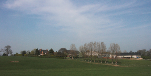
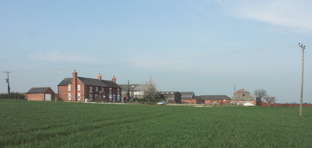
Beam Hill Images

Images are sourced within 2km of 52.832435/-1.6589547 or Grid Reference SK2326. Thanks to Geograph Open Source API. All images are credited.

Manicured Footpath This footpath is one of the best kept I have seen in a long time.  It leads to three destinations, Anslow, Beam Hill, and Field Lane.
Manicured Footpath
This footpath is one of the best kept I have seen in a long time. It leads to three destinations, Anslow, Beam Hill, and Field Lane.
Queen's Hospital Another busy day for the hospital in Burton on Trent.
Queen's Hospital
Another busy day for the hospital in Burton on Trent.
Two Tier Roads Charnwood Road in front is overlooked by Field Lane which stands high on the top of a ridge.
Two Tier Roads
Charnwood Road in front is overlooked by Field Lane which stands high on the top of a ridge.
Beam Hill The gentle slope to the top of Beam Hill as seen from the road to Rolleston.
Beam Hill
The gentle slope to the top of Beam Hill as seen from the road to Rolleston.
Spread Eagle and St Mary's The church in Rolleston on Dove is dedicated to St Mary.  The Spread Eagle pub next door shares some of its architecture with many railway buildings.
Spread Eagle and St Mary's
The church in Rolleston on Dove is dedicated to St Mary. The Spread Eagle pub next door shares some of its architecture with many railway buildings.
St John's Church This Victorian Gothic Church has served the Parish of Horninglow since the foundation of St John the Divine in 1866.
St John's Church
This Victorian Gothic Church has served the Parish of Horninglow since the foundation of St John the Divine in 1866.
St John's Church and graveyard The grounds and graveyard of the Church of St John the Divine.
St John's Church and graveyard
The grounds and graveyard of the Church of St John the Divine.
The Brickmakers Arms, Upper Outwood
Hilltop Farm. Anslow
Path to Tutbury This public footpath joins Rolleston on Dove with Tutbury.
Path to Tutbury
This public footpath joins Rolleston on Dove with Tutbury.
Bridleway to Alder Moor This bridleway passes by the Cemetery in Rolleston on Dove and leads to Alder Moor.
Bridleway to Alder Moor
This bridleway passes by the Cemetery in Rolleston on Dove and leads to Alder Moor.
Oilseed Rape by Rolleston Park farm
Free-range egg production unit - Anslow Park Farm This modern facility has been erected within the last two years on former open fields.
Free-range egg production unit - Anslow Park Farm
This modern facility has been erected within the last two years on former open fields.
Free range hens These hens are housed in a new large free-range egg production unit belonging to a firm called Anslow Eggs.
Free range hens
These hens are housed in a new large free-range egg production unit belonging to a firm called Anslow Eggs.
Backlit stream near Anslow This stream, which is un-named on OS maps, eventually flows into the River Dove near Rolleston on Dove.
Backlit stream near Anslow
This stream, which is un-named on OS maps, eventually flows into the River Dove near Rolleston on Dove.
Rolleston Park
Rolleston Park
Lount Farm and cottages
Well-maintained footpath near Lount Farm All the public footpaths in this grid square are well defined and clearly maintained.
Well-maintained footpath near Lount Farm
All the public footpaths in this grid square are well defined and clearly maintained.
Show me another place!

Beam Hill is located at Grid Ref: SK2326 (Lat: 52.832435, Lng: -1.6589547)

Administrative County: Staffordshire

District: East Staffordshire

Police Authority: Staffordshire

What 3 Words

///work.tamed.powers. Near Burton upon Trent, Staffordshire

Nearby Locations

Beam Hill Beam Hill

Related Wikis

Rolleston on Dove

Rolleston on Dove, also known simply as Rolleston, is a village and civil parish in the East Staffordshire district, in the county of Staffordshire, England...

Horninglow

Horninglow is a suburb of Burton upon Trent, in the East Staffordshire district, in the county of Staffordshire, England. Horninglow lies to the north...

Horninglow and Eton

Horninglow and Eton is a civil parish in the East Staffordshire district, in the county of Staffordshire, England. It covers an area located in the west...

Rolleston Hall

Rolleston Hall was a country house in Rolleston-on-Dove, Staffordshire. Originally built in the early 17th century for Sir Edward Mosley, it had been substantially...

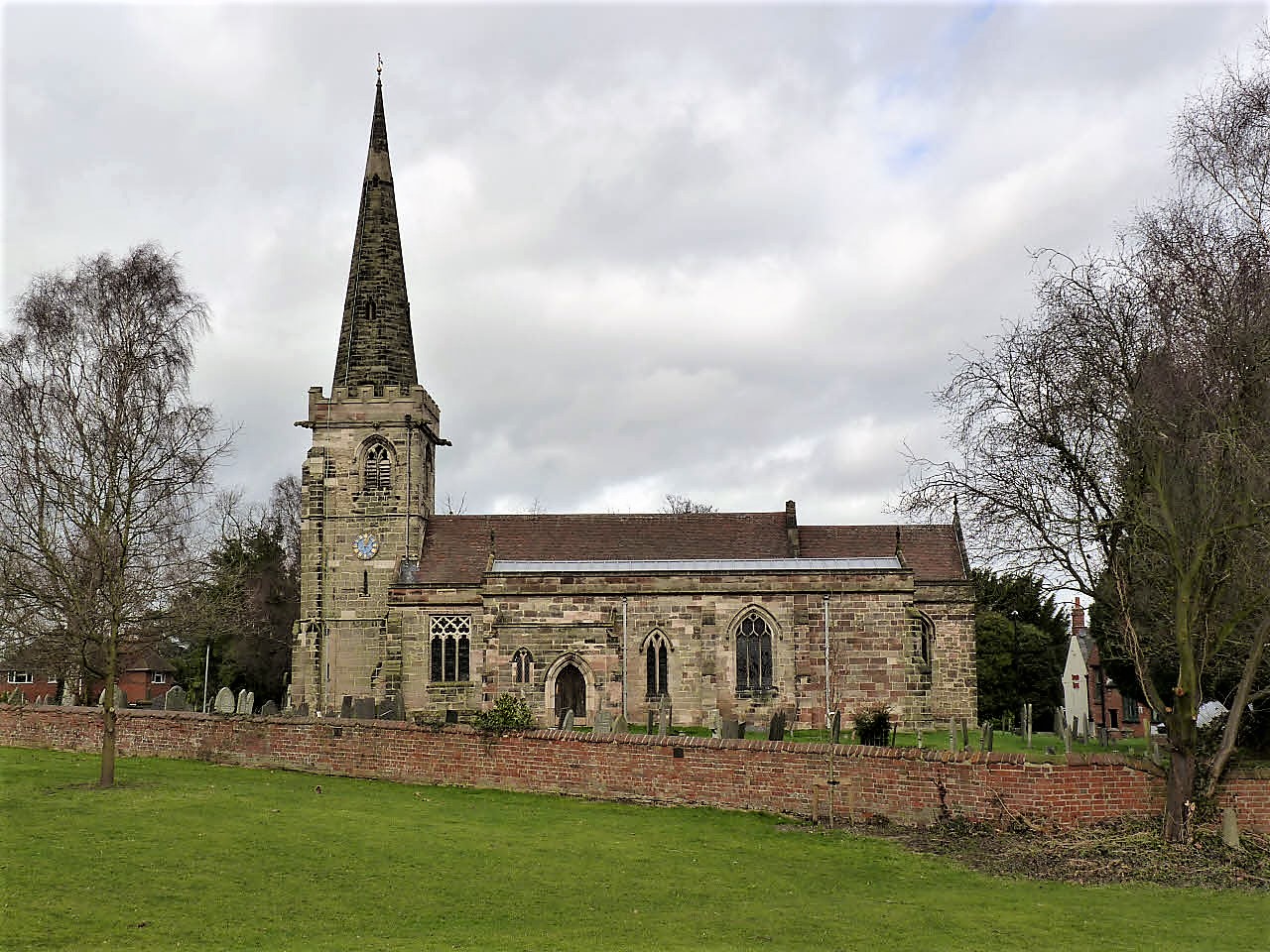
St Mary's Church, Rolleston on Dove

St Mary's Church is a parish church of the Church of England in Rolleston on Dove, Staffordshire. Parts of the structure date to 1130, though it was extensively...

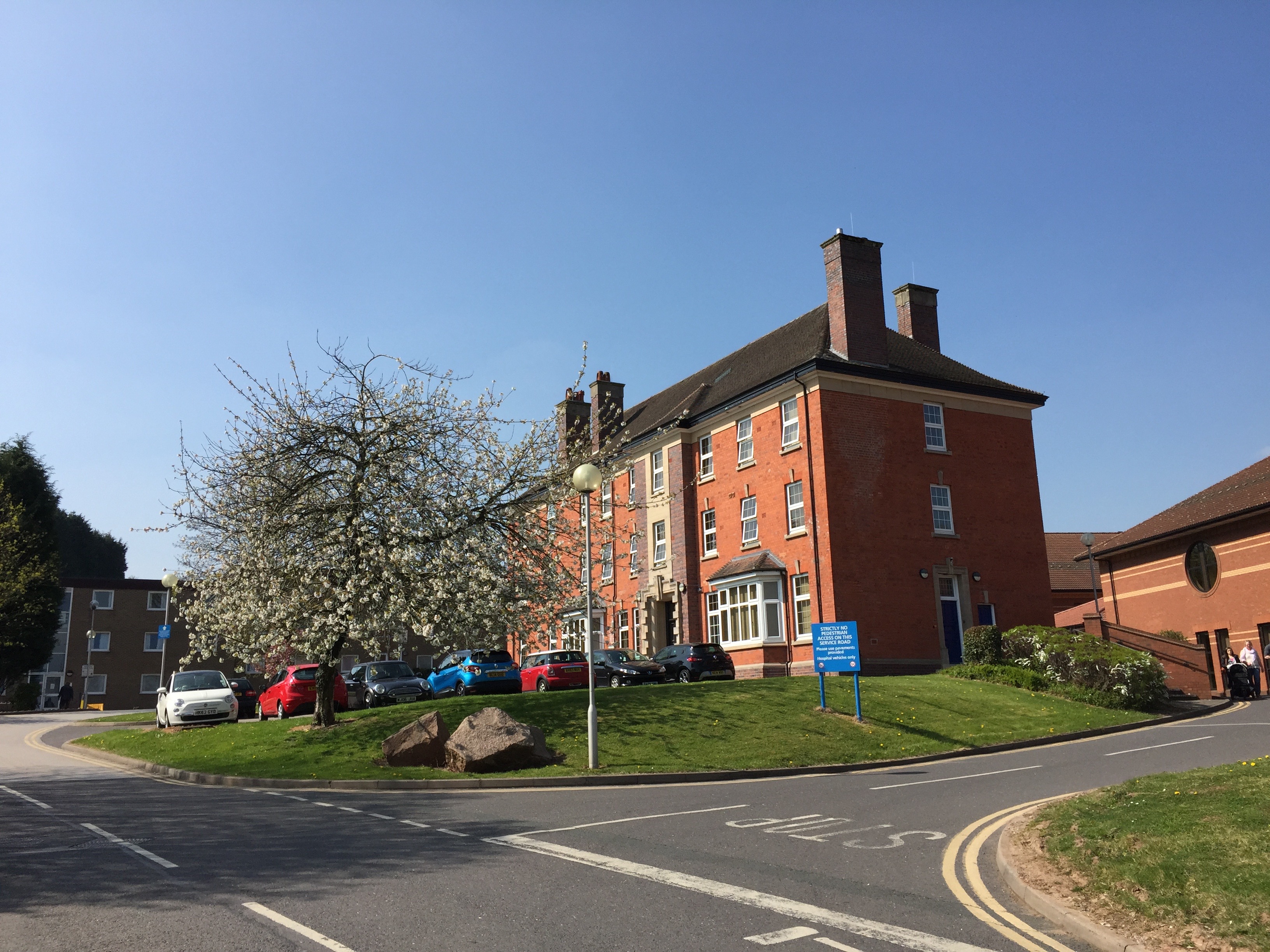
Queen's Hospital, Burton upon Trent

Queen's Hospital is a health facility on Belvedere Road in Burton upon Trent, Staffordshire. It is managed by University Hospitals of Derby and Burton...

Outwoods, East Staffordshire

Outwoods is a civil parish in the English county of Staffordshire. Once a village it is now a suburb on the flanks of the town of Burton upon Trent separated...

Ind Coope Ground

The Ind Coope Ground was a cricket ground in Burton, England where Derbyshire CCC played between 1938 and 1980. In most years, the ground would host at...

Nearby Amenities

Located within 500m of 52.832435,-1.6589547
Pub
Beacon Hotel
Addr City: Burton-on-Trent
Addr Housenumber: 227
Addr Postcode: DE13 0AJ
Addr Street: Tutbury Road
Fhrs Id: 1273936
Old Fhrs Id: 1247532
Lat/Long: 52.8308714/-1.652526
Post Box
Operator: Royal Mail
Ref: DE13 1084
Lat/Long: 52.8303467/-1.653216
Bus Stop
Harehedge Lane
Bus: yes
Naptan AtcoCode: 3800C316402
Public Transport: platform
Lat/Long: 52.8299951/-1.6527718
Bus Stop
No. 102
Bus: yes
Public Transport: platform
Lat/Long: 52.8295138/-1.6612771
Bus Stop
No. 102
Bus: yes
Naptan AtcoCode: 3800C346801
Naptan NaptanCode: stagptgp
Public Transport: platform
Lat/Long: 52.8294295/-1.6616634
Bus Stop
No. 56
Bus: yes
Naptan AtcoCode: 3800C346901
Public Transport: platform
Lat/Long: 52.8297244/-1.6589543
Bus Stop
No. 56
Bus: yes
Naptan AtcoCode: 3800C346902
Naptan NaptanCode: stadjapm
Public Transport: platform
Lat/Long: 52.8297082/-1.6585118
Bus Stop
Beam Close
Bus: yes
Naptan AtcoCode: 3800C324001
Naptan NaptanCode: stadgdpj
Public Transport: platform
Lat/Long: 52.8304099/-1.6541478
Bus Stop
Beam Close
Bus: yes
Naptan AtcoCode: 3800C324002
Naptan NaptanCode: stagptdg
Public Transport: platform
Lat/Long: 52.8304342/-1.6546199
Bus Stop
Longhedge Lane
Public Transport: platform
Lat/Long: 52.8367846/-1.6593942
Bus Stop
Glenville Farm
Bus: yes
Naptan AtcoCode: 3800C316702
Naptan NaptanCode: stadawgt
Public Transport: platform
Lat/Long: 52.834585/-1.6543289
Bus Stop
Glenville Farm
Bus: yes
Naptan AtcoCode: 3800C316701
Naptan NaptanCode: stadawgp
Public Transport: platform
Lat/Long: 52.8346709/-1.6542926
Bus Stop
The Beacon Hotel
Bus: yes
Public Transport: platform
Lat/Long: 52.8314349/-1.653323
Bus Stop
The Beacon Hotel
Bus: yes
Naptan AtcoCode: 3800C300800
Naptan NaptanCode: stadajam
Public Transport: platform
Lat/Long: 52.8307251/-1.6526699
The data included in this document is from www.openstreetmap.org. The data is made available under ODbL.

Have you been to Beam Hill?

Leave your review of Beam Hill below (or comments, questions and feedback).