Castle Hill
Hill, Mountain in Derbyshire Derbyshire Dales
England
Castle Hill
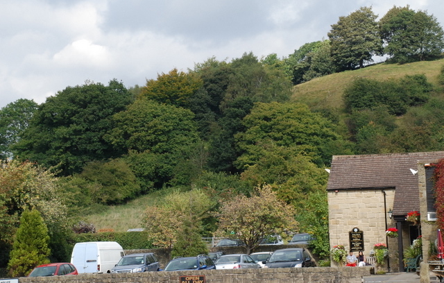
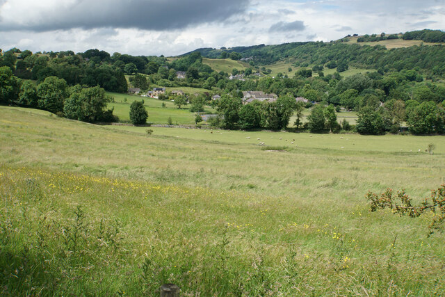
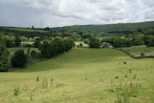
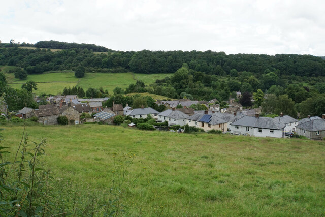
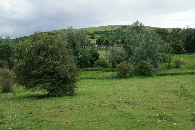
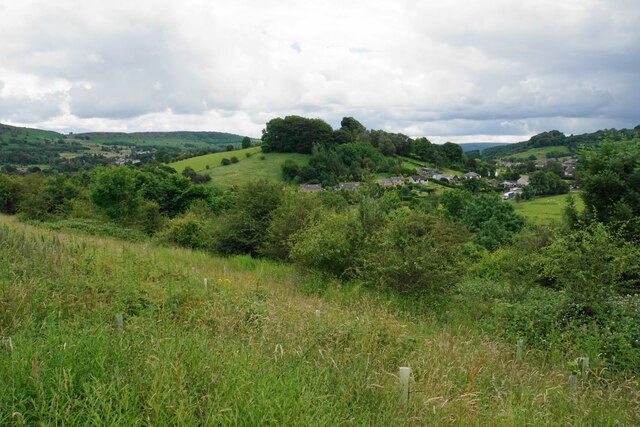
Castle Hill is a prominent hill located in Derbyshire, England. Rising to an elevation of 280 meters (919 feet), it is a notable landmark in the region. Situated near the village of Bolsover, the hill offers breathtaking panoramic views of the surrounding countryside.
The hill is crowned with the remains of a medieval castle, which gives it its name. Bolsover Castle, built in the early 17th century, is a well-preserved fortress and a popular tourist attraction. It was originally constructed as a lavish manor house by Sir Charles Cavendish and later transformed into a grandiose castle by his son, William Cavendish.
Visitors to Castle Hill can explore the castle's various sections, including the impressive Little Castle, the Riding School, and the Terrace Range. The Little Castle, in particular, is renowned for its stunning interiors, featuring intricately decorated rooms and exquisite artwork.
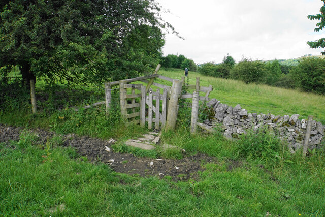
Aside from the castle, Castle Hill is also known for its picturesque setting and natural beauty. The hill is covered in lush greenery, with scenic walking trails winding through its slopes. Outdoor enthusiasts can enjoy leisurely strolls or challenging hikes, taking in the breathtaking views of the Derbyshire countryside.
Castle Hill holds historical significance, as it played a strategic role during the English Civil War. It was used as a stronghold by the Royalists, who defended it against the Parliamentarians. Today, the hill stands as a reminder of the region's rich history and offers visitors a glimpse into the past.
In conclusion, Castle Hill in Derbyshire is a captivating destination that combines historical charm with natural beauty. Its medieval castle, stunning views, and tranquil surroundings make it a must-visit location for tourists and history enthusiasts alike.
If you have any feedback on the listing, please let us know in the comments section below.
Castle Hill Images
Images are sourced within 2km of 53.276345/-1.6556444 or Grid Reference SK2375. Thanks to Geograph Open Source API. All images are credited.


Castle Hill is located at Grid Ref: SK2375 (Lat: 53.276345, Lng: -1.6556444)
Administrative County: Derbyshire
District: Derbyshire Dales
Police Authority: Derbyshire
What 3 Words
///back.gangway.converter. Near Baslow, Derbyshire
Nearby Locations
Related Wikis
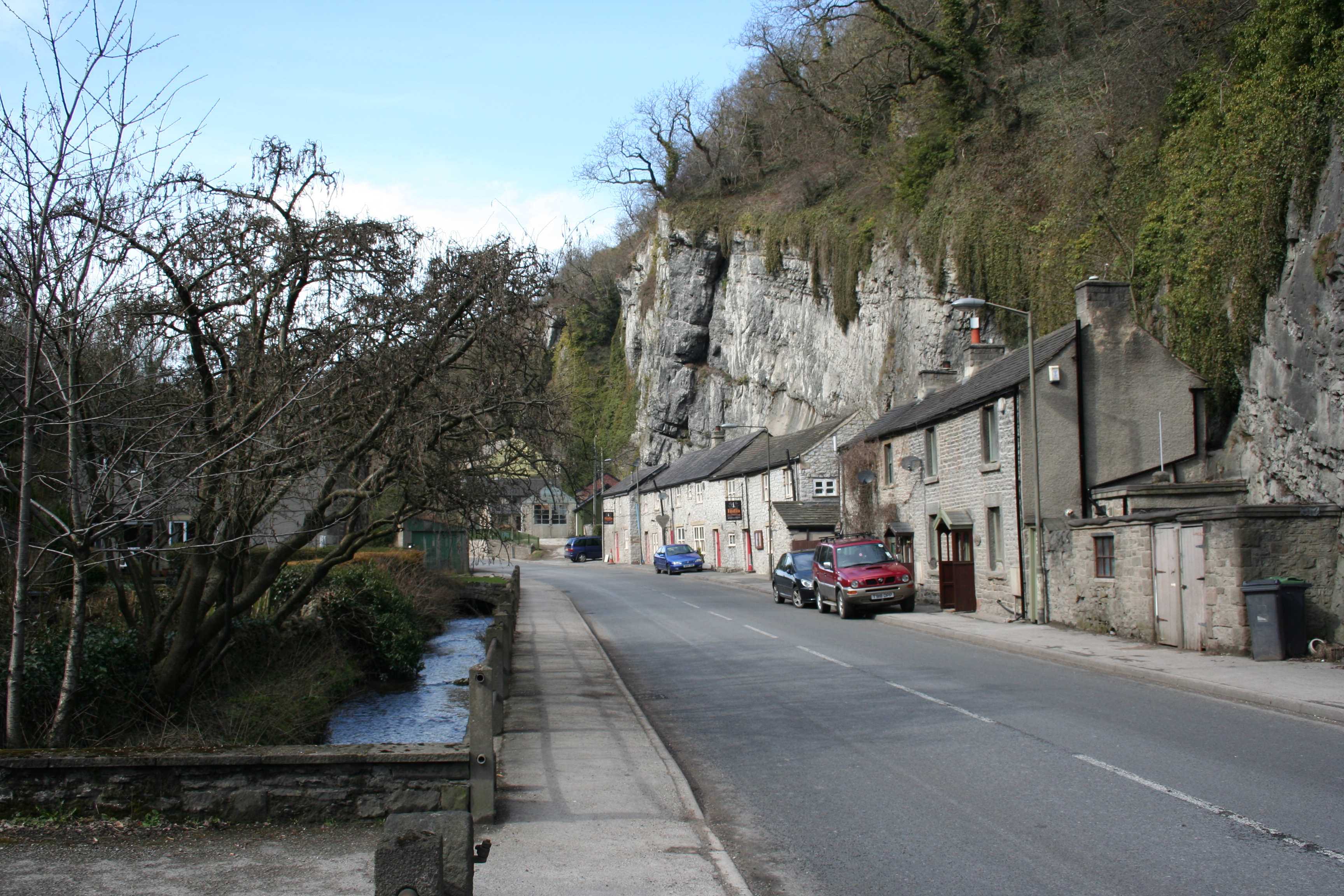
Stoney Middleton
Stoney Middleton is a village and civil parish in the Derbyshire Dales district of Derbyshire, England. It is in the White Peak area of the Peak District...

St Martin's Church, Stoney Middleton
St Martin's Church is a Grade II* listed parish church in the Church of England in Stoney Middleton, Derbyshire. == History == The church dates from the...

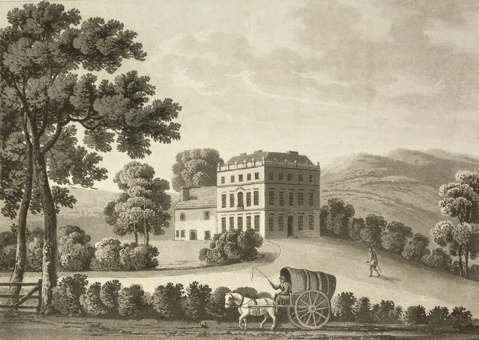
Middleton Hall, Stoney Middleton
Middleton Hall is a restored 17th-century country house at Stoney Middleton, Derbyshire. It is a Grade II listed building.The house was built in the mid...

Dale Brook
Dale Brook is a stream in Stoney Middleton in the Derbyshire Peak District. The stream originates in Middleton Dale, where the Jumber Brook south of Eyam...

Riley Graveyard
Riley Graveyard is a 17th-century grade II listed cemetery in Eyam, Derbyshire. == History == The cemetery, on the outskirts of Eyam, contains the graves...
Stoke Hall, Derbyshire
Stoke Hall is a Grade II* listed 30-room Georgian Palladian mansion near the village of Grindleford, Derbyshire, England, whose restoration featured on...

Eyam
Eyam ( ) is an English village and civil parish in the Derbyshire Dales that lies within the Peak District National Park. There is evidence of early occupation...
Upper Derwent Valley
The Upper Derwent Valley is an area of the Peak District National Park in England. It largely lies in Derbyshire, but its north eastern area lies in Sheffield...
Nearby Amenities
Located within 500m of 53.276345,-1.6556444Have you been to Castle Hill?
Leave your review of Castle Hill below (or comments, questions and feedback).