Conishead Bank

Coastal Feature, Headland, Point in Lancashire South Lakeland

England

Conishead Bank

Whit Gill Lane
Whit Gill Lane Credit: Peter McDermott

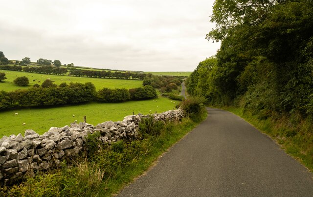
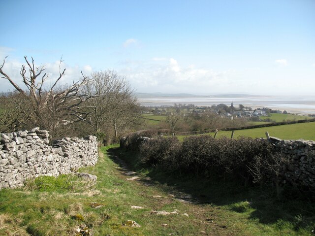
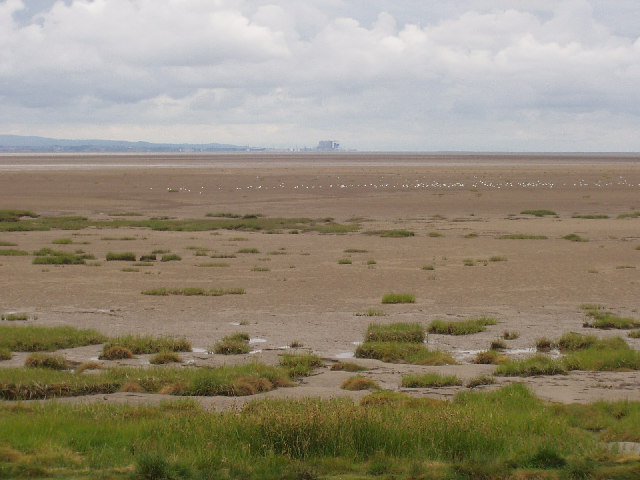
Conishead Bank is a prominent coastal feature located in Lancashire, England. Situated along the Irish Sea, it is a headland that extends out into the water, forming a point that juts out from the surrounding coastline. The bank is made up of a mixture of sand, shingle, and pebbles, creating a diverse and textured landscape.

At low tide, Conishead Bank is exposed, revealing a wide expanse of sand that stretches out towards the sea. This makes it a popular destination for beachgoers and nature enthusiasts alike. The bank is also known for its unique rock formations, which have been shaped by the constant erosion caused by the tides and waves.

The headland offers breathtaking views of the surrounding area, providing a vantage point to observe the picturesque coastline and the vastness of the Irish Sea. It is often frequented by birdwatchers, as it serves as a nesting ground for various seabirds, including puffins and gulls.

Conishead Bank is also home to a diverse range of marine life, with rock pools teeming with crabs, small fish, and other marine creatures. These pools provide a fascinating opportunity for exploration and learning about the coastal ecosystem.

Due to its natural beauty and ecological significance, Conishead Bank has been designated as a Site of Special Scientific Interest (SSSI), ensuring its protection and preservation for future generations to enjoy. It is a popular spot for recreational activities, such as beachcombing, picnicking, and coastal walks, attracting locals and tourists alike.

Overall, Conishead Bank offers a unique and enchanting coastal experience, combining stunning natural scenery, diverse wildlife, and recreational opportunities for visitors of all ages.

If you have any feedback on the listing, please let us know in the comments section below.

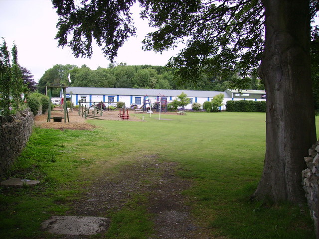
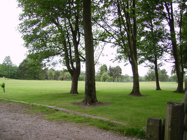
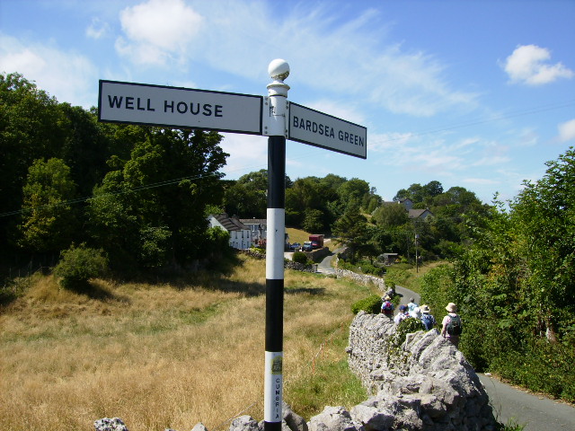
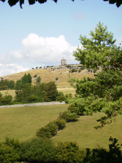
Conishead Bank Images

Images are sourced within 2km of 54.170912/-3.0596219 or Grid Reference SD3075. Thanks to Geograph Open Source API. All images are credited.

Whit Gill Lane
Whit Gill Lane
The Olde Mill, Bardsea Powered by water from nearby springs, Bardsea Mill was a corn mill, the main part being located in a building to the south of the present restaurant.
The A5087 road from Ulverston to Barrow-in-Furness is in the foreground.
The Olde Mill, Bardsea
Powered by water from nearby springs, Bardsea Mill was a corn mill, the main part being located in a building to the south of the present restaurant. The A5087 road from Ulverston to Barrow-in-Furness is in the foreground.
Lane near Crook's Wood The lane is a public bridleway from Birkrigg to the village of Bardsea in the background.  The spire of Holy Trinity Church is prominent.
Lane near Crook's Wood
The lane is a public bridleway from Birkrigg to the village of Bardsea in the background. The spire of Holy Trinity Church is prominent.
Old Mill at Bardsea
Old Mill at Bardsea
Plough At the entrance to a caravan park and retail outlet in Ulverston.
Plough
At the entrance to a caravan park and retail outlet in Ulverston.
Retail Outlet  At Ulverston
Retail Outlet
At Ulverston
Ulverston Golf Club In the former Bardsea Park
Ulverston Golf Club
In the former Bardsea Park
Road to Bardsea Green This road turns into a green lane leading up to Birkrigg Common.
Road to Bardsea Green
This road turns into a green lane leading up to Birkrigg Common.
The monument above Bardsea Park
Morecambe Bay Morecambe Bay as seen from Bardsea
Morecambe Bay
Morecambe Bay as seen from Bardsea
View across Morecambe Sands to Heysham power station Taken from the beach at Bardsea.
View across Morecambe Sands to Heysham power station
Taken from the beach at Bardsea.
Drain Near Sandhall Ulverston.
Drain
Near Sandhall Ulverston.
Manjushri Kadampa Buddhist Temple in the grounds of Conishead Priory
Manjushri Kadampa
Buddhist Temple in the grounds of Conishead Priory
The Glaxo-Smithcline plant on the outskirts of Ulverston
The chimney south east of Ulverston
Tide coming in at Morecambe Bay There was a noticeable bore on the approaching tide as it came in near Ulverston.
Tide coming in at Morecambe Bay
There was a noticeable bore on the approaching tide as it came in near Ulverston.
The beach near Conishead Priory
The coastal path at Wadhead Scar, Bardsea
Show me another place!

Conishead Bank is located at Grid Ref: SD3075 (Lat: 54.170912, Lng: -3.0596219)

Administrative County: Cumbria

District: South Lakeland

Police Authority: Cumbria

What 3 Words

///inversely.dads.with. Near Ulverston, Cumbria

Related Wikis

Conishead Priory

Conishead Priory is a large Gothic Revival building on the Furness peninsula near Ulverston in Cumbria. The priory's name translates literally as "King...
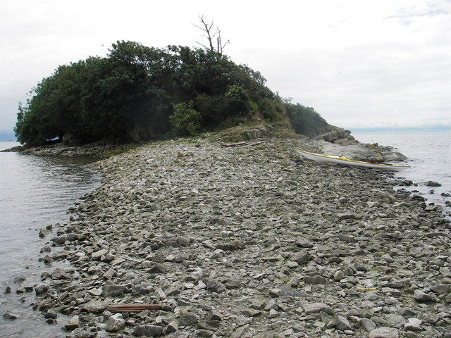
Chapel Island

Chapel Island is a limestone outcrop that lies in the Leven estuary of Morecambe Bay in England, less than one mile (1.6 km) from the shoreline at Bardsea...
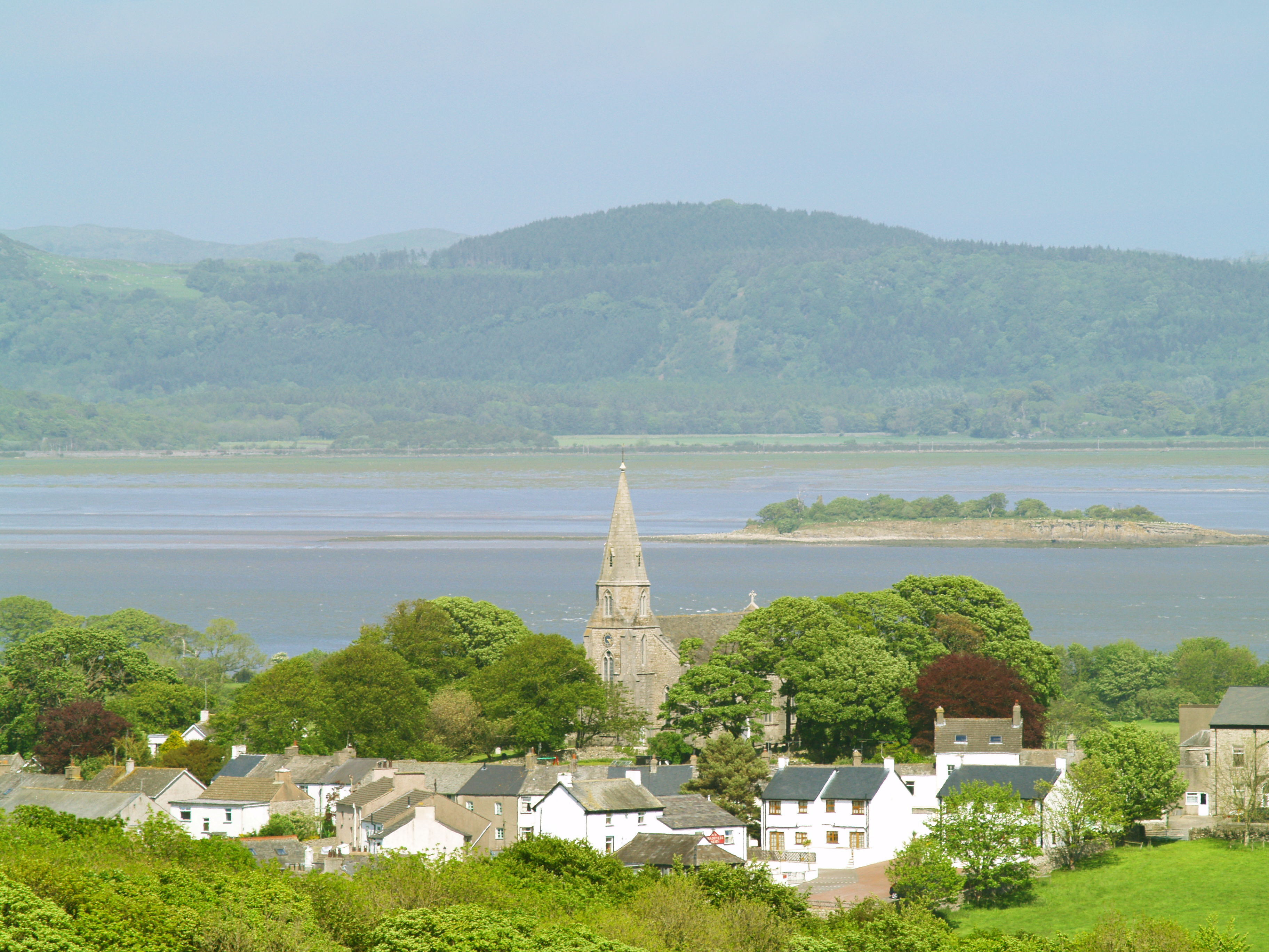
Bardsea

Bardsea is a village in the Low Furness area of Cumbria, England. It is two miles to the south-east of Ulverston on the northern coast of Morecambe Bay...

Canal Foot

Canal Foot is an industrial village in Cumbria, England, on the Leven estuary. It is located 1.7 miles (2.7 km) by road to the east of the centre of Ulverston...

Nearby Amenities

Located within 500m of 54.170912,-3.0596219
Source: PGS
Lat/Long: 54.1668552/-3.0599726
Source: PGS
Lat/Long: 54.1672094/-3.0599468
Source: PGS
Lat/Long: 54.1675991/-3.0602365
Source: PGS
Lat/Long: 54.1678456/-3.0602462
Source: PGS
Lat/Long: 54.1679832/-3.0606421
Source: PGS
Lat/Long: 54.168186/-3.060582
Source: PGS
Lat/Long: 54.1684408/-3.060523
Source: PGS
Lat/Long: 54.1688461/-3.0603304
Source: PGS
Lat/Long: 54.169213/-3.0600085
Source: PGS
Lat/Long: 54.1696595/-3.060074
Source: PGS
Lat/Long: 54.1702455/-3.0596384
Source: PGS
Lat/Long: 54.1706913/-3.0594334
Source: PGS
Lat/Long: 54.1711605/-3.0591996
Source: PGS
Lat/Long: 54.1719/-3.0586229
Source: PGS
Lat/Long: 54.172501/-3.0588875
Source: PGS
Lat/Long: 54.1734518/-3.0592548
Source: PGS
Lat/Long: 54.1741552/-3.0598825
Source: PGS
Lat/Long: 54.1743596/-3.0600654
Source: PGS
Lat/Long: 54.1749938/-3.0601212
Ford: yes
Lat/Long: 54.17296/-3.059533
Power: pole
Lat/Long: 54.1748322/-3.0627205
The data included in this document is from www.openstreetmap.org. The data is made available under ODbL.

Have you been to Conishead Bank?

Leave your review of Conishead Bank below (or comments, questions and feedback).