Beach Wood

Wood, Forest in Lancashire South Lakeland

England

Beach Wood

Whit Gill Lane
Whit Gill Lane Credit: Peter McDermott

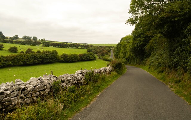
Beach Wood, located in Lancashire, England, is a picturesque forested area renowned for its natural beauty and abundant wildlife. The wood is situated near the village of Wood and covers a sprawling area of approximately 100 acres.

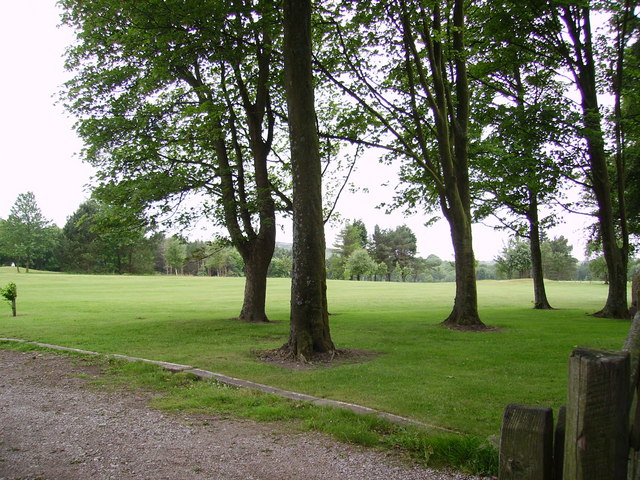
The woodland is predominantly made up of deciduous trees, including oak, beech, and birch, which create a stunning array of colors during the autumn months. This makes Beach Wood a popular destination for nature enthusiasts and photographers seeking to capture the vibrant foliage.

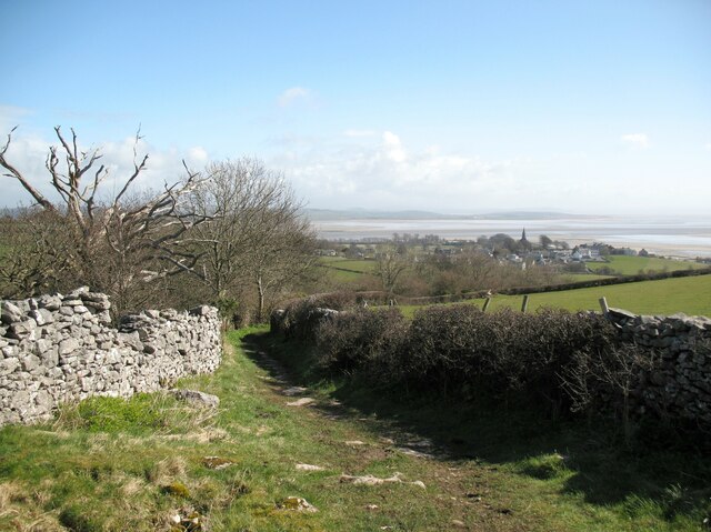
Visitors to Beach Wood can explore its well-maintained network of walking trails, allowing them to immerse themselves in the tranquil surroundings and enjoy the sounds of birdsong and rustling leaves. The wood is also home to a variety of wildlife, such as deer, badgers, and numerous bird species, providing ample opportunities for wildlife spotting.

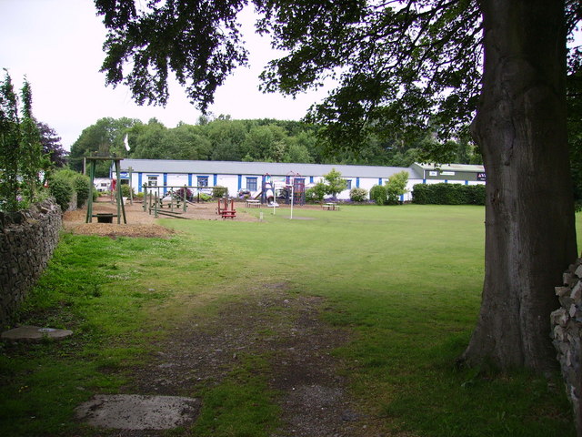
In addition to its natural attractions, Beach Wood offers a range of recreational activities. The forest is equipped with picnic areas, making it an ideal place for families and friends to gather and enjoy a leisurely outdoor meal. The wood also features a small play area for children, complete with swings and climbing frames, ensuring that younger visitors can also have an enjoyable experience.

The management of Beach Wood is primarily undertaken by local conservation groups and volunteers, who work tirelessly to preserve its natural beauty and protect the diverse ecosystem. Through their efforts, Beach Wood remains a cherished destination for locals and tourists alike, offering a peaceful retreat from the hustle and bustle of everyday life.

If you have any feedback on the listing, please let us know in the comments section below.

Beach Wood Images

Images are sourced within 2km of 54.171801/-3.0607476 or Grid Reference SD3075. Thanks to Geograph Open Source API. All images are credited.

Whit Gill Lane
Whit Gill Lane
The Olde Mill, Bardsea Powered by water from nearby springs, Bardsea Mill was a corn mill, the main part being located in a building to the south of the present restaurant.
The A5087 road from Ulverston to Barrow-in-Furness is in the foreground.
The Olde Mill, Bardsea
Powered by water from nearby springs, Bardsea Mill was a corn mill, the main part being located in a building to the south of the present restaurant. The A5087 road from Ulverston to Barrow-in-Furness is in the foreground.
Lane near Crook's Wood The lane is a public bridleway from Birkrigg to the village of Bardsea in the background.  The spire of Holy Trinity Church is prominent.
Lane near Crook's Wood
The lane is a public bridleway from Birkrigg to the village of Bardsea in the background. The spire of Holy Trinity Church is prominent.
Old Mill at Bardsea
Old Mill at Bardsea
Plough At the entrance to a caravan park and retail outlet in Ulverston.
Plough
At the entrance to a caravan park and retail outlet in Ulverston.
Retail Outlet  At Ulverston
Retail Outlet
At Ulverston
Ulverston Golf Club In the former Bardsea Park
Ulverston Golf Club
In the former Bardsea Park
Road to Bardsea Green This road turns into a green lane leading up to Birkrigg Common.
Road to Bardsea Green
This road turns into a green lane leading up to Birkrigg Common.
The monument above Bardsea Park
Morecambe Bay Morecambe Bay as seen from Bardsea
Morecambe Bay
Morecambe Bay as seen from Bardsea
View across Morecambe Sands to Heysham power station Taken from the beach at Bardsea.
View across Morecambe Sands to Heysham power station
Taken from the beach at Bardsea.
Drain Near Sandhall Ulverston.
Drain
Near Sandhall Ulverston.
Allotments, Outcast. In Ulverston, flying the flag.
Allotments, Outcast.
In Ulverston, flying the flag.
Manjushri Kadampa Buddhist Temple in the grounds of Conishead Priory
Manjushri Kadampa
Buddhist Temple in the grounds of Conishead Priory
The Glaxo-Smithcline plant on the outskirts of Ulverston
The chimney south east of Ulverston
Tide coming in at Morecambe Bay There was a noticeable bore on the approaching tide as it came in near Ulverston.
Tide coming in at Morecambe Bay
There was a noticeable bore on the approaching tide as it came in near Ulverston.
The beach near Conishead Priory
Show me another place!

Beach Wood is located at Grid Ref: SD3075 (Lat: 54.171801, Lng: -3.0607476)

Administrative County: Cumbria

District: South Lakeland

Police Authority: Cumbria

What 3 Words

///loyal.lipstick.daunted. Near Ulverston, Cumbria

Related Wikis

Conishead Priory

Conishead Priory is a large Gothic Revival building on the Furness peninsula near Ulverston in Cumbria. The priory's name translates literally as "King...
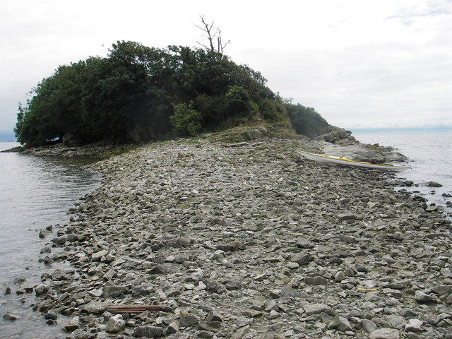
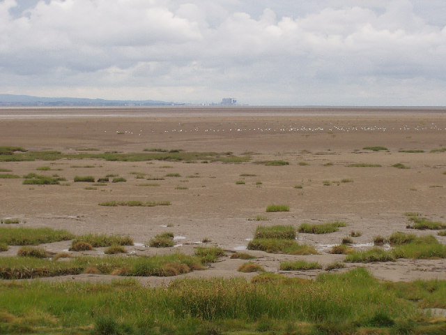
Chapel Island

Chapel Island is a limestone outcrop that lies in the Leven estuary of Morecambe Bay in England, less than one mile (1.6 km) from the shoreline at Bardsea...
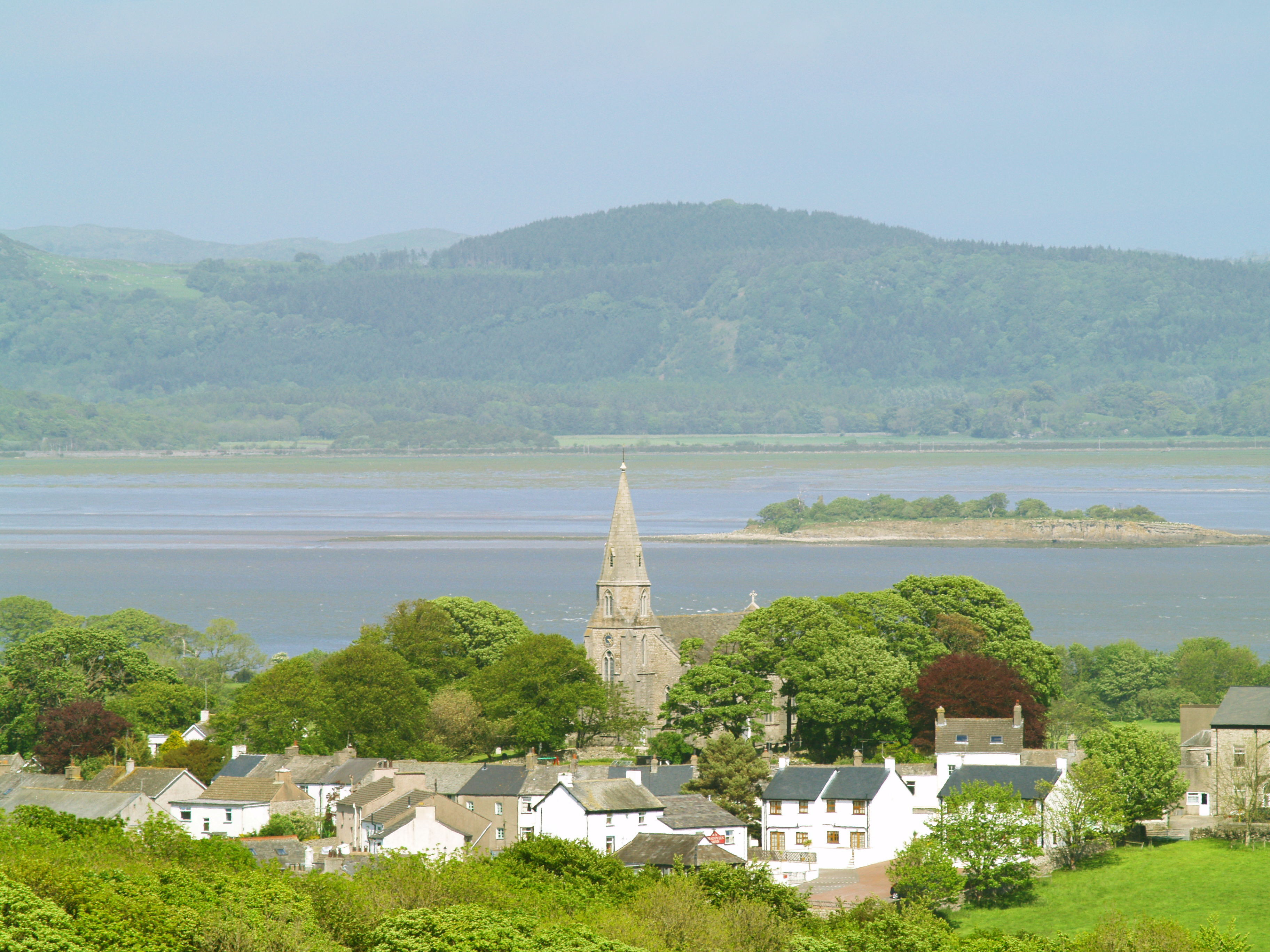
Bardsea

Bardsea is a village in the Low Furness area of Cumbria, England. It is two miles to the south-east of Ulverston on the northern coast of Morecambe Bay...
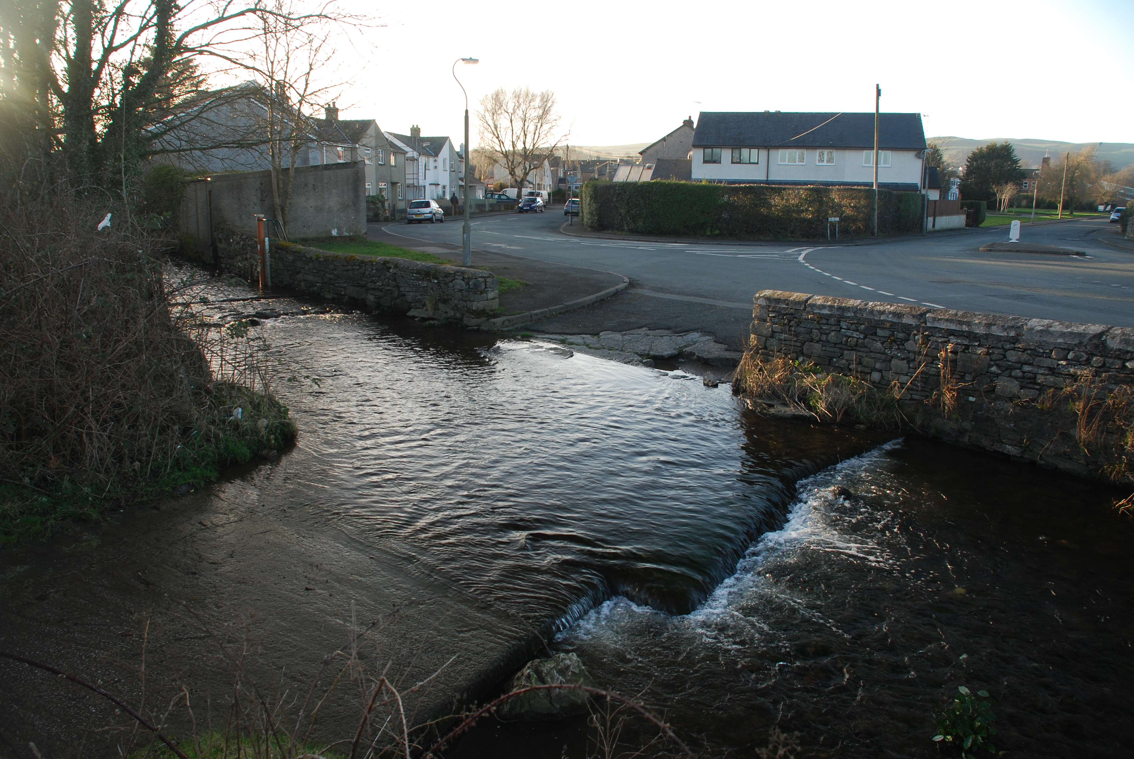
Canal Foot

Canal Foot is an industrial village in Cumbria, England, on the Leven estuary. It is located 1.7 miles (2.7 km) by road to the east of the centre of Ulverston...

Birkrigg stone circle

The Birkrigg stone circle (also known as the Druid's Temple or Druids' Circle) is a Bronze Age stone circle on Birkrigg Common, two miles south of Ulverston...
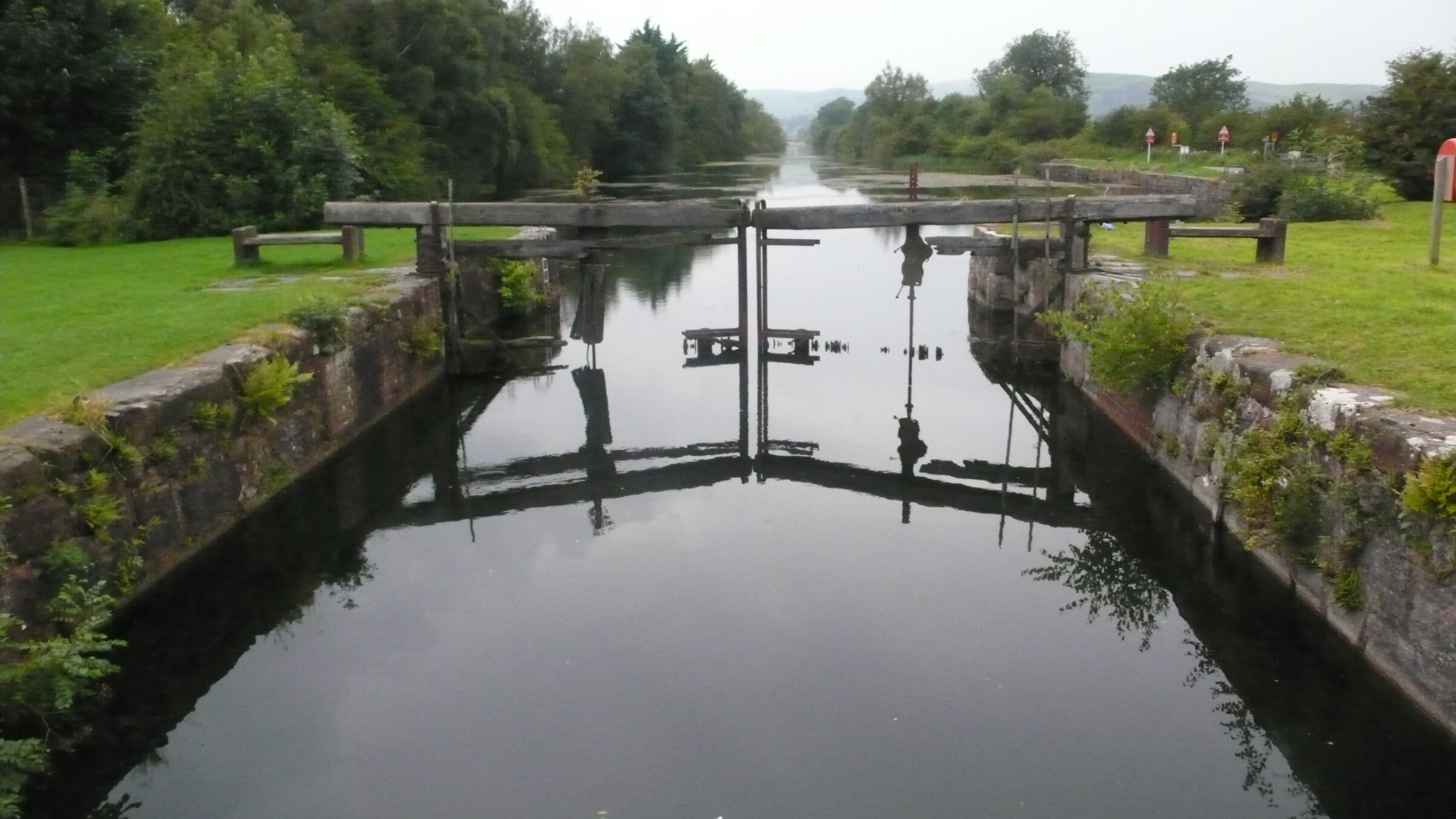
Ulverston Canal

The Ulverston Canal is a 1.25 miles (2 km) ship canal that connects the town of Ulverston, Cumbria, England with Morecambe Bay. The waterway, which is...

Dragley Beck

Dragley Beck is a hamlet in Cumbria, England. Historically part of Lancashire, it was the birthplace of Sir John Barrow (1764-1848), one of the founders...

Birkrigg

Birkrigg or Birkrigg Common is an open-area of limestone countryside near the town of Ulverston on the Furness Peninsula in southern Cumbria, England....

Nearby Amenities

Located within 500m of 54.171801,-3.0607476
Source: PGS
Lat/Long: 54.1675991/-3.0602365
Source: PGS
Lat/Long: 54.1678456/-3.0602462
Source: PGS
Lat/Long: 54.1679832/-3.0606421
Source: PGS
Lat/Long: 54.168186/-3.060582
Source: PGS
Lat/Long: 54.1684408/-3.060523
Source: PGS
Lat/Long: 54.1688461/-3.0603304
Source: PGS
Lat/Long: 54.169213/-3.0600085
Source: PGS
Lat/Long: 54.1696595/-3.060074
Source: PGS
Lat/Long: 54.1702455/-3.0596384
Source: PGS
Lat/Long: 54.1706913/-3.0594334
Source: PGS
Lat/Long: 54.1711605/-3.0591996
Source: PGS
Lat/Long: 54.1719/-3.0586229
Source: PGS
Lat/Long: 54.172501/-3.0588875
Source: PGS
Lat/Long: 54.1734518/-3.0592548
Source: PGS
Lat/Long: 54.1741552/-3.0598825
Source: PGS
Lat/Long: 54.1743596/-3.0600654
Source: PGS
Lat/Long: 54.1749938/-3.0601212
Source: PGS
Lat/Long: 54.1755778/-3.0603296
Cafe
World Peace Cafe
Addr City: Ulverston
Addr Housename: Conishead Priory
Addr Postcode: LA12 9QQ
Addr Street: Priory Road
Fhrs Id: 298849
Opening Hours: Nov-Feb: Mo-Su 12:00-16:00; Mar-Oct: Mo-Su 11:00-17:00
Website: https://manjushri.org/world-peace-cafe-in-the-conservatory
Lat/Long: 54.1731495/-3.0669048
Ford: yes
Lat/Long: 54.17296/-3.059533
Bicycle Parking
Access: customers
Bicycle Parking: wall_loops
Capacity: 3
Covered: no
Fee: no
Operator: Conishead Priory
Lat/Long: 54.1734336/-3.0669055
Charging Station
Access: customers
Bicycle: yes
Capacity: 1
Covered: no
Operator: Conishead Priory
Parking Fee: no
Socket Bs1363: 1
Lat/Long: 54.1734189/-3.0669146
Conishead Priory
Disused Railway: station
Railway: site
Lat/Long: 54.1753963/-3.0625315
Power: pole
Lat/Long: 54.1754796/-3.0649702
Power: pole
Lat/Long: 54.1755967/-3.0638992
Power: pole
Lat/Long: 54.1748322/-3.0627205
The data included in this document is from www.openstreetmap.org. The data is made available under ODbL.

Have you been to Beach Wood?

Leave your review of Beach Wood below (or comments, questions and feedback).