The Hole
Coastal Feature, Headland, Point in Orkney
Scotland
The Hole
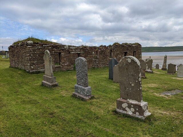
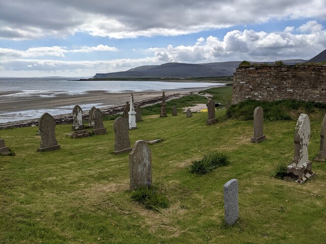
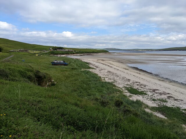
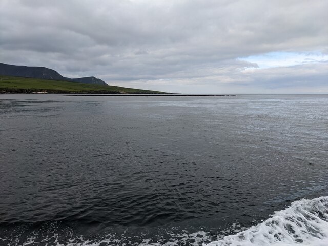
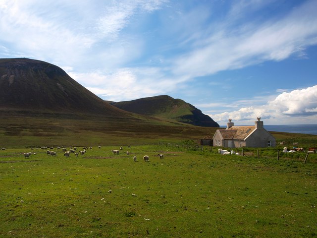
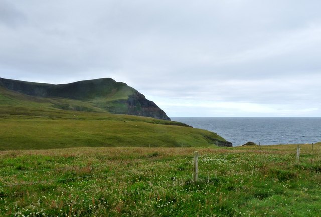
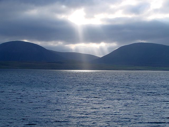
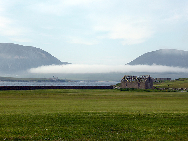
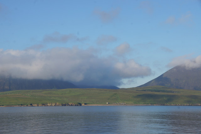
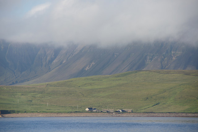
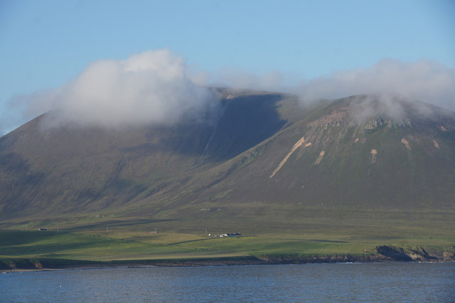
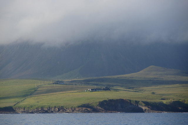
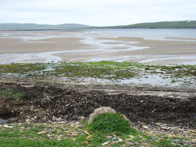
The Hole is a notable coastal feature located on the mainland of Orkney, an archipelago in Scotland. Situated on the eastern coast, it is specifically found on a headland or point, jutting out into the North Sea. The Hole is characterized by its unique geological formation, which includes a deep, narrow crevice or chasm that has been eroded into the rock over thousands of years.
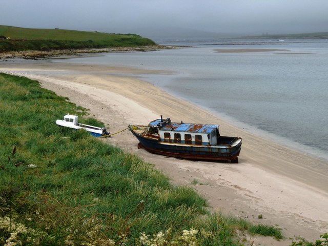
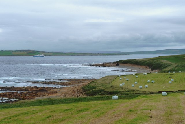
The chasm is surrounded by rugged cliffs and jagged rocks, providing a dramatic and picturesque backdrop. The Hole is known for its outstanding natural beauty, attracting visitors and nature enthusiasts from around the world. The crashing waves of the North Sea contribute to the raw and untamed atmosphere of the site.
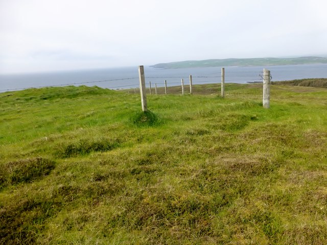
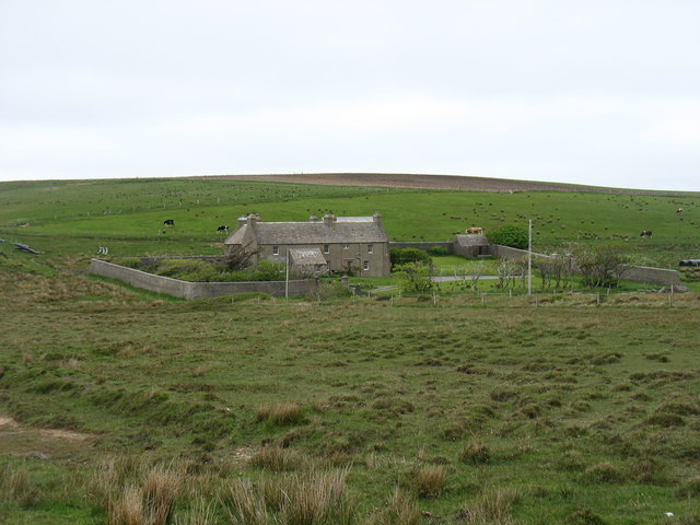
The Hole is often accessed by a coastal path or trail that winds its way along the cliff tops, offering stunning panoramic views of the surrounding coastline. The headland is also home to a diverse range of marine wildlife, including seabirds, seals, and occasionally even dolphins.
The geology of The Hole is of significant interest to researchers and geologists, as it provides valuable insights into the region's geological history. The chasm itself is believed to have been formed through a combination of wave action and glacial erosion during the last ice age.
Overall, The Hole in Orkney is an exceptional coastal feature that showcases the power of nature and offers a captivating experience for those who visit.
If you have any feedback on the listing, please let us know in the comments section below.
The Hole Images
Images are sourced within 2km of 58.930442/-3.3487282 or Grid Reference HY2205. Thanks to Geograph Open Source API. All images are credited.
The Hole is located at Grid Ref: HY2205 (Lat: 58.930442, Lng: -3.3487282)
Unitary Authority: Orkney Islands
Police Authority: Highlands and Islands
What 3 Words
///takeover.impulsive.like. Near Stromness, Orkney Islands
Nearby Locations
Related Wikis

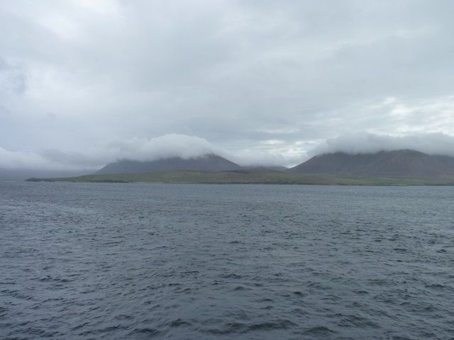
Hoy Sound
Hoy Sound is a body of salt water subject to tidal currents situated south of the town of Stromness in the Orkney archipelago of Scotland. The sound lies...

Ward Hill, Hoy
Ward Hill is a hill on the island of Hoy in Orkney, Scotland. It lies at the north of the island between Moaness and Rackwick, and is the highest point...

Breckness House
Breckness House, sometimes known as Breckness Castle, is the site of the 17th century mansion, chapel and burial ground, built by George Graham (1565–1643...

Graemsay
Graemsay () is an island in the western approaches to Scapa Flow, in the Orkney Islands of Scotland. The island has two lighthouses. Graemsay lies within...

Stromness Museum
Stromness Museum is a small independent museum in the town of Stromness in Orkney, Scotland focusing on the town's connections to maritime and natural...

Stromness
Stromness (locally , Old Norse: Straumnes; Norn: Stromnes) is the second-most populous town in Orkney, Scotland. It is in the southwestern part of Mainland...

Oyster wave energy converter
The Oyster was a hydro-electric wave energy device that used the motion of ocean waves to generate electricity. It was made up of a Power Connector Frame...

Pier Arts Centre
The Pier Arts Centre is an art gallery and museum in Stromness, Orkney, Scotland. It was established in 1979 to provide a home for an important collection...
Nearby Amenities
Located within 500m of 58.930442,-3.3487282Have you been to The Hole?
Leave your review of The Hole below (or comments, questions and feedback).