Muckle Glen

Valley in Orkney

Scotland

Muckle Glen

The old church and cemetery by the Bay of Creekland
The old church and cemetery by the Bay of Creekland Credit: David Medcalf

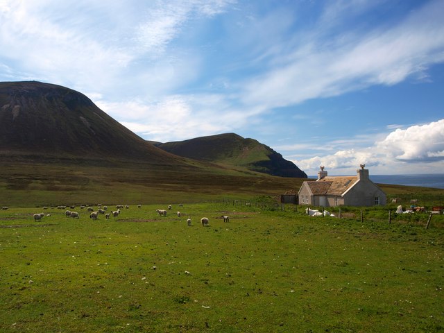
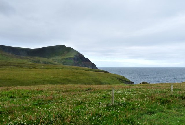
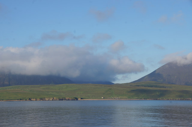
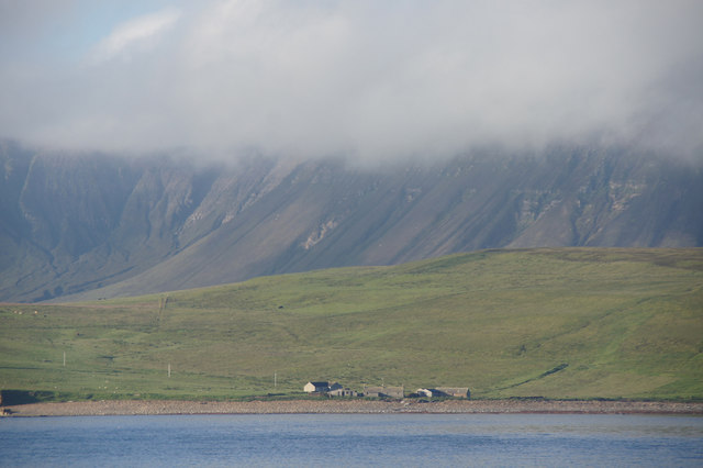
Muckle Glen, also known as Muckle Valley, is a picturesque location situated in the Orkney Islands, off the northeastern coast of Scotland. Located in the southern part of the Mainland, the largest island in the Orkneys, Muckle Glen offers visitors a stunning natural landscape and a glimpse into the region's rich history.

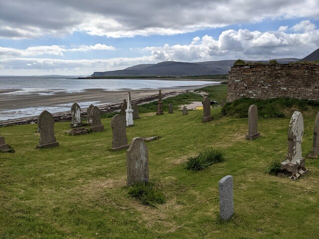
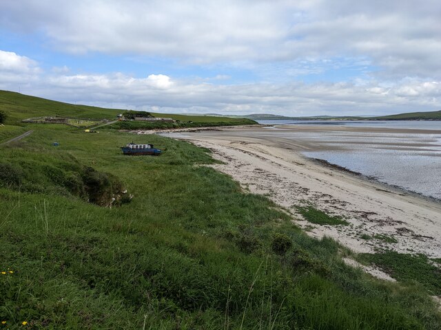
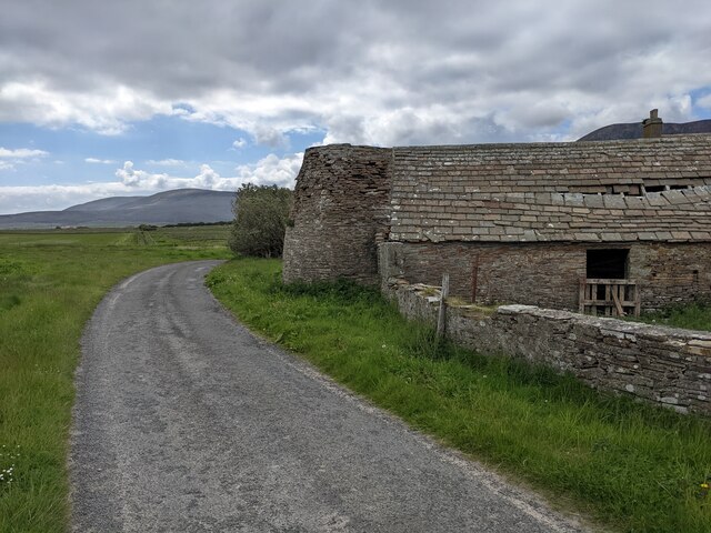
The glen is characterized by its steep-sided slopes, formed by the erosive action of glaciers during the last Ice Age. It is surrounded by verdant hills and offers breathtaking views of the surrounding countryside. The glen is home to a diverse range of flora and fauna, including wildflowers, heather, and various bird species.

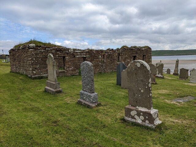
Muckle Glen is also renowned for its historical significance. Within the glen, there are the remains of ancient settlements and burial sites that date back to the Neolithic and Bronze Age periods. These archaeological sites provide valuable insights into the lives of the people who lived in this area thousands of years ago.

Visitors to Muckle Glen can enjoy walking or hiking along the well-maintained trails that wind through the glen, taking in the beautiful scenery and exploring the ancient ruins. The glen also offers opportunities for birdwatching, photography, and simply immersing oneself in the tranquility of nature.

Overall, Muckle Glen is a remarkable destination that combines natural beauty with a rich historical heritage, making it a must-visit location for nature enthusiasts and history buffs alike.

If you have any feedback on the listing, please let us know in the comments section below.
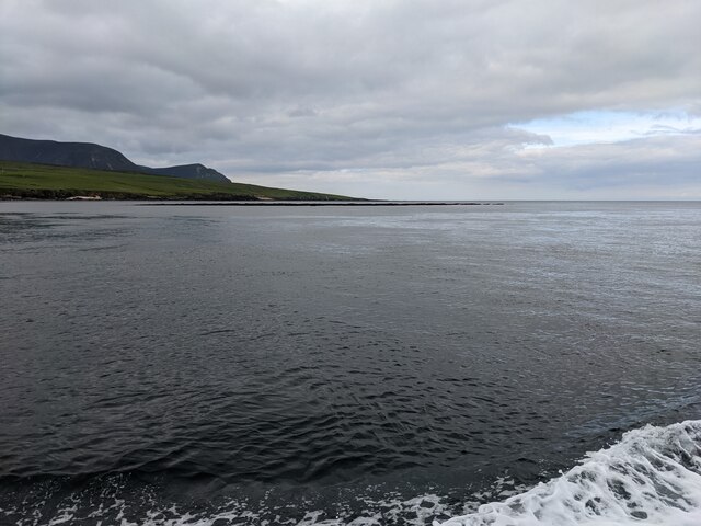
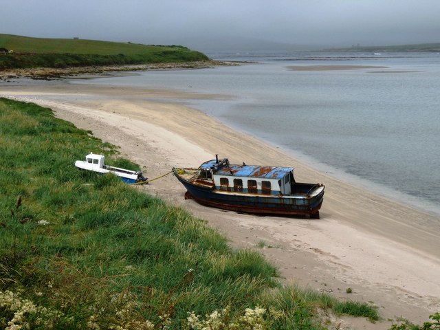
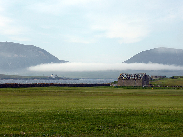
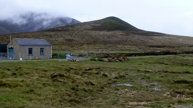
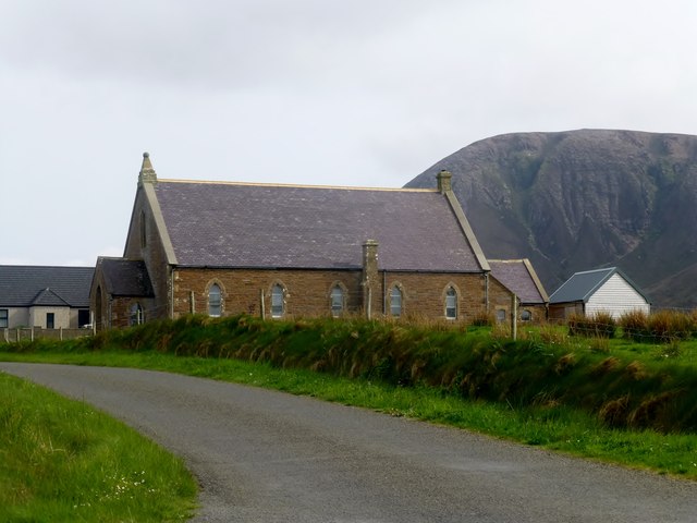
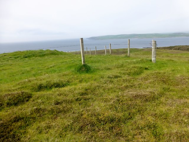
Muckle Glen Images

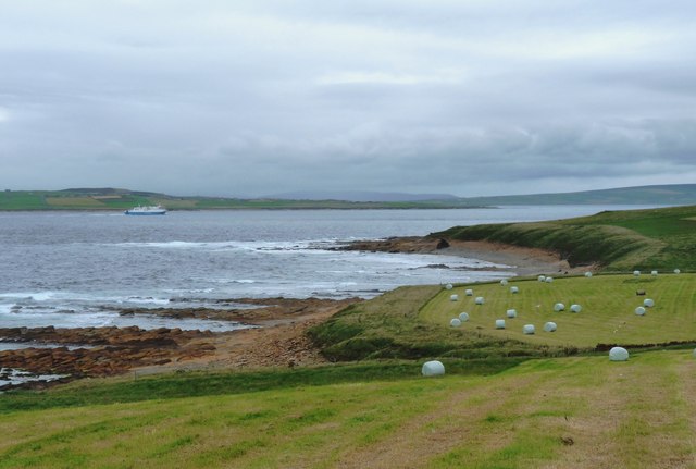
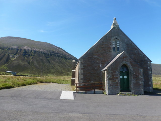
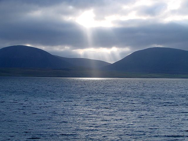
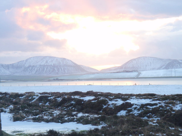
Images are sourced within 2km of 58.928299/-3.3475676 or Grid Reference HY2205. Thanks to Geograph Open Source API. All images are credited.

The old church and cemetery by the Bay of Creekland
The cemetery and the Sands of Klebreck
The stranded boat has moved inland A dozen years ago, it was on the sand. See:  <a title="https://www.geograph.org.uk/photo/2524025" href="https://www.geograph.org.uk/photo/2524025">Link</a>
The stranded boat has moved inland
A dozen years ago, it was on the sand. See: Link
A collapsing roof at Burra House
Outer Skerry rock bank The skerry is the thin dark line below the horizon. Seen from the Hoy Ferry.
Outer Skerry rock bank
The skerry is the thin dark line below the horizon. Seen from the Hoy Ferry.
Murra and the Kame The renovated crofthouse at Murra <a href="https://www.geograph.org.uk/photo/1483912">HY2104 : Murra and Lenders Dale</a> looking towards Lounders Fea and The Kame of Hoy.
It is in an exposed location but very well built and placed to withstand the local climate.
It is an example of a sturdy building which has been tastefully renovated
Murra and the Kame
The renovated crofthouse at Murra HY2104 : Murra and Lenders Dale looking towards Lounders Fea and The Kame of Hoy. It is in an exposed location but very well built and placed to withstand the local climate. It is an example of a sturdy building which has been tastefully renovated
Beached boat, Sands of Klebreck
Lenders Dale from the road end at Murra The Kame of Hoy drops steeply into the sea.
Lenders Dale from the road end at Murra
The Kame of Hoy drops steeply into the sea.
Hay harvest above The Flashes Ferry heading through Hoy Sound towards Stromness
Hay harvest above The Flashes
Ferry heading through Hoy Sound towards Stromness
Hoy: the church A small church with a lofty backdrop!
Hoy: the church
A small church with a lofty backdrop!
Sunbeams over Hoy Viewed across Hoy Sound from Innertown, Stromness.
Sunbeams over Hoy
Viewed across Hoy Sound from Innertown, Stromness.
Ward Hill and Cuilags A view from the Ring of Brodgar across to Ward Hill and Cuilags in Hoy at Christmas time.
Ward Hill and Cuilags
A view from the Ring of Brodgar across to Ward Hill and Cuilags in Hoy at Christmas time.
Low cloud over Hoy Viewed from Point of Ness across the golf course.
Low cloud over Hoy
Viewed from Point of Ness across the golf course.
Round Hill First hill after the Moaness Ferry from Stromness with Jim Bloomer and Tricky Speirs.
Name:Round Hill
Hill number:12204
Height: 137m / 449ft
Parent (Ma/M):1549  Ward Hill
Area:23: Orkney Islands
Class:1
Grid ref: HY220035 (est)
Drop: 30m
Col: 107m  HY220033
Round Hill
First hill after the Moaness Ferry from Stromness with Jim Bloomer and Tricky Speirs. Name:Round Hill Hill number:12204 Height: 137m / 449ft Parent (Ma/M):1549 Ward Hill Area:23: Orkney Islands Class:1 Grid ref: HY220035 (est) Drop: 30m Col: 107m HY220033
Quoy-i-dale Church, Hoy Quoy-i-dale Church with the loft Hoy hills behind.
Quoy-i-dale Church, Hoy
Quoy-i-dale Church with the loft Hoy hills behind.
The Witter Sixth TuMP of a circuit from the Moaness Ferry with Jim Bloomer and Tricky Speirs. Round Hill, Ward Hill, Cuilags, Sui Fea, Top of Hellia with The Witter to finish before coffee and a cake at the cafe.
Name:The Witter
Hill number:12209
Height: 121m / 397ft
Parent (Ma/M):1549  Ward Hill
Area:23: Orkney Islands
Class:1
Grid ref: HY223046 (est)
Drop: 40m
Col: 81m  HY223039
The Witter
Sixth TuMP of a circuit from the Moaness Ferry with Jim Bloomer and Tricky Speirs. Round Hill, Ward Hill, Cuilags, Sui Fea, Top of Hellia with The Witter to finish before coffee and a cake at the cafe. Name:The Witter Hill number:12209 Height: 121m / 397ft Parent (Ma/M):1549 Ward Hill Area:23: Orkney Islands Class:1 Grid ref: HY223046 (est) Drop: 40m Col: 81m HY223039
Selwick, Hoy Taken from the MV Hamnavoe in Hoy Sound.
Selwick, Hoy
Taken from the MV Hamnavoe in Hoy Sound.
Selwick, Hoy Taken from the MV Hamnavoe.
Selwick, Hoy
Taken from the MV Hamnavoe.
Show me another place!

Muckle Glen is located at Grid Ref: HY2205 (Lat: 58.928299, Lng: -3.3475676)

Unitary Authority: Orkney Islands

Police Authority: Highlands and Islands

What 3 Words

///lads.users.rotate. Near Stromness, Orkney Islands

Related Wikis

Hoy Sound

Hoy Sound is a body of salt water subject to tidal currents situated south of the town of Stromness in the Orkney archipelago of Scotland. The sound lies...

Ward Hill, Hoy

Ward Hill is a hill on the island of Hoy in Orkney, Scotland. It lies at the north of the island between Moaness and Rackwick, and is the highest point...

Graemsay

Graemsay () is an island in the western approaches to Scapa Flow, in the Orkney Islands of Scotland. The island has two lighthouses. Graemsay lies within...

Breckness House

Breckness House, sometimes known as Breckness Castle, is the site of the 17th century mansion, chapel and burial ground, built by George Graham (1565–1643...

Nearby Amenities

Located within 500m of 58.928299,-3.3475676
Hillock of Howesdale
Place: locality
Lat/Long: 58.930459/-3.3550827
White Cos's Hole
Place: locality
Lat/Long: 58.9293361/-3.345132
Fea
Place: locality
Lat/Long: 58.9275688/-3.3503702
Bridgend
Place: locality
Lat/Long: 58.925806/-3.3547826
Grims Dale
Place: locality
Lat/Long: 58.9244395/-3.3448998
The data included in this document is from www.openstreetmap.org. The data is made available under ODbL.

Have you been to Muckle Glen?

Leave your review of Muckle Glen below (or comments, questions and feedback).