Grims Dale
Valley in Orkney
Scotland
Grims Dale
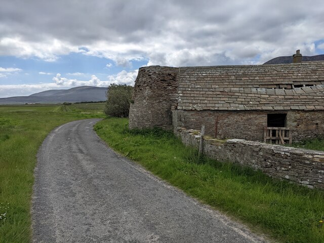
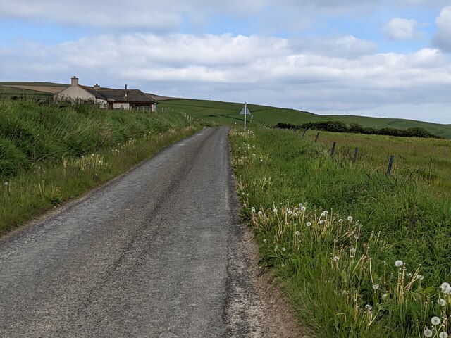
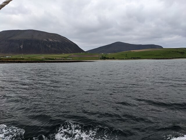
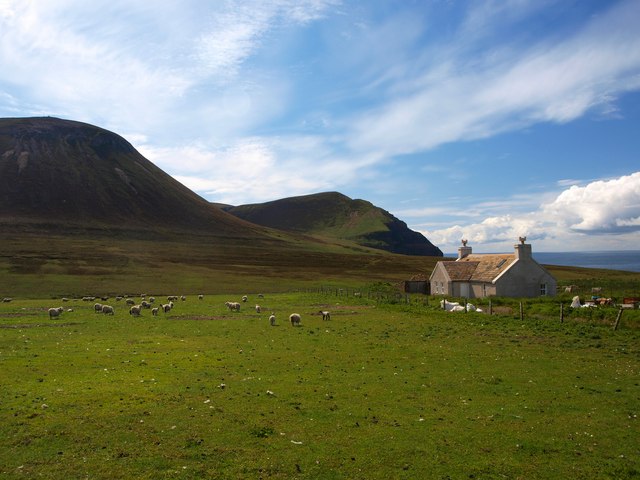
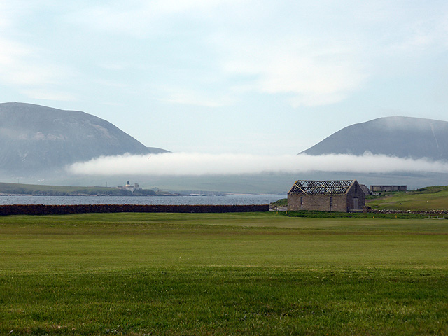
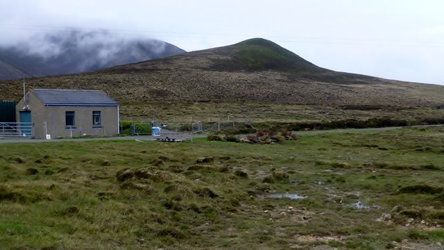
Grims Dale, also known as Grimsdale or Grimsdell, is a picturesque valley located on the island of Orkney, Scotland. Nestled between rolling hills and surrounded by stunning natural beauty, the valley is a popular destination for nature lovers and outdoor enthusiasts.
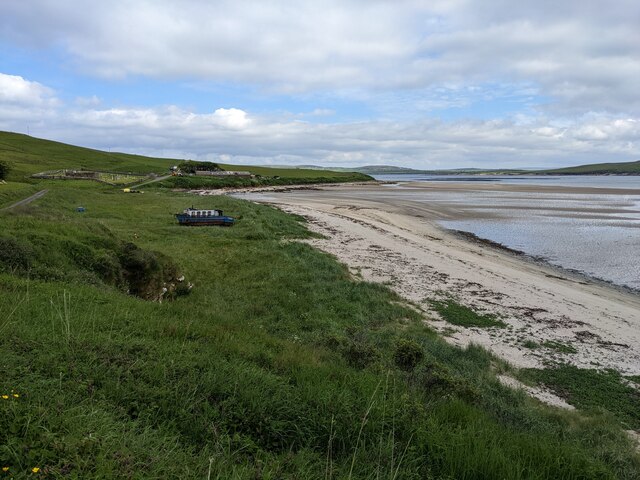
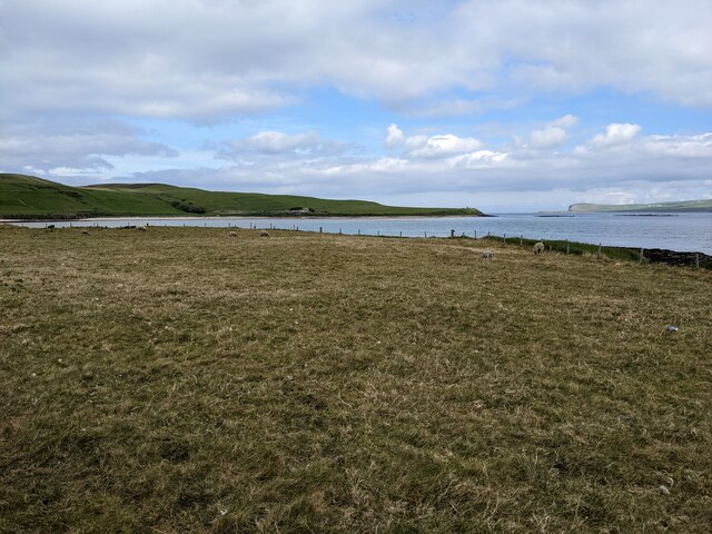
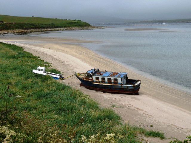
The valley is approximately 2 miles long and features a meandering river that flows through its heart. The river, known as Grimsdale Burn, adds to the charm of the area, providing a peaceful backdrop for visitors to enjoy. The valley is adorned with lush greenery, including a mixture of grassy fields, heather-covered moorland, and scattered patches of wildflowers.
Grims Dale is home to a diverse array of wildlife, making it a haven for birdwatchers and nature photographers. Visitors can expect to spot various species of birds, including golden eagles, peregrine falcons, and owls. The valley also hosts a population of red deer, which can often be seen grazing in the fields.
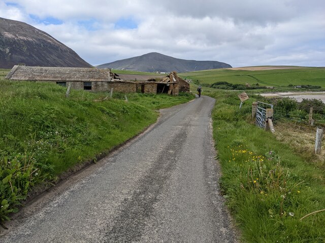
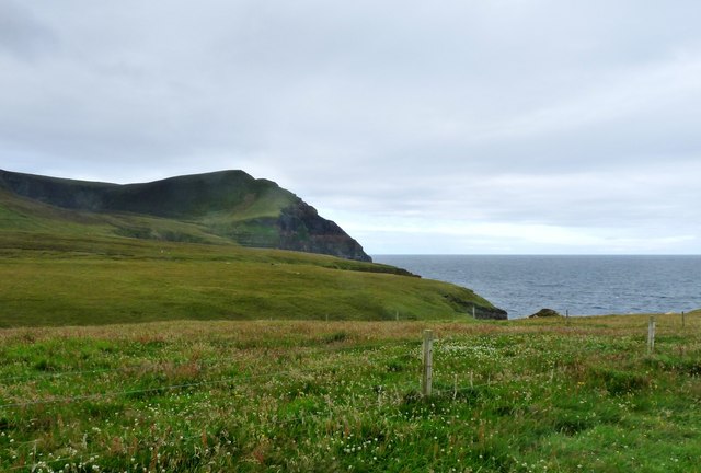
The valley offers several walking trails, allowing visitors to explore its natural wonders at their own pace. The trails vary in difficulty, catering to both casual walkers and more experienced hikers. Along the way, walkers can enjoy breathtaking views of the surrounding hills and the nearby coastline.
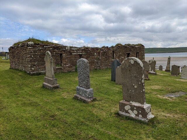
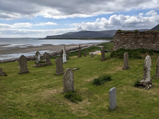
While Grims Dale is primarily known for its natural beauty, there are also a few historic sites nearby. The remains of a Neolithic burial chamber can be found just a short distance from the valley, adding an element of intrigue to the area.
Overall, Grims Dale is a captivating destination that offers a tranquil escape from the hustle and bustle of everyday life. Its stunning landscapes, diverse wildlife, and rich history make it a must-visit location for anyone exploring Orkney.
If you have any feedback on the listing, please let us know in the comments section below.
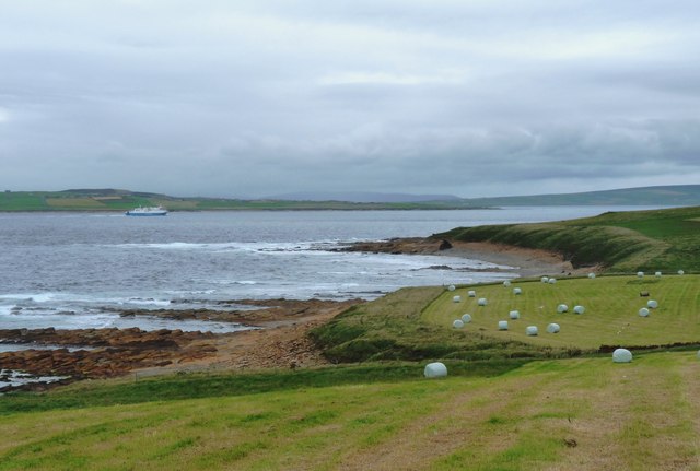
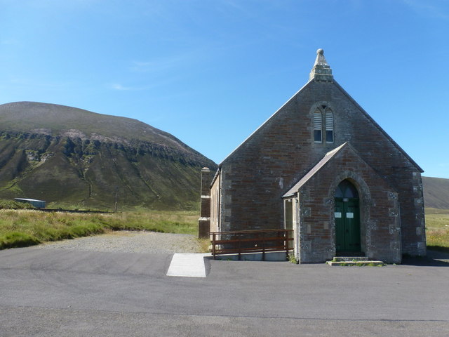
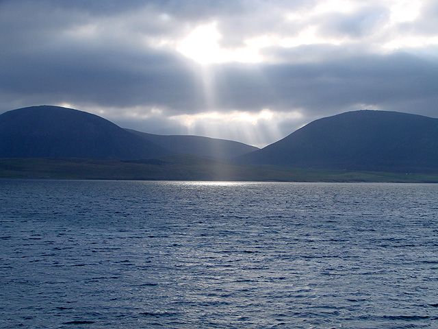
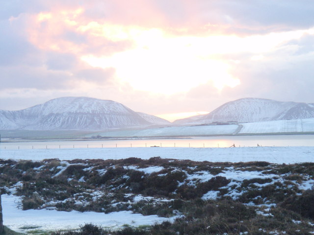
Grims Dale Images
Images are sourced within 2km of 58.92551/-3.3454092 or Grid Reference HY2205. Thanks to Geograph Open Source API. All images are credited.
Grims Dale is located at Grid Ref: HY2205 (Lat: 58.92551, Lng: -3.3454092)
Unitary Authority: Orkney Islands
Police Authority: Highlands and Islands
What 3 Words
///zest.thinker.chestnuts. Near Stromness, Orkney Islands
Nearby Locations
Related Wikis

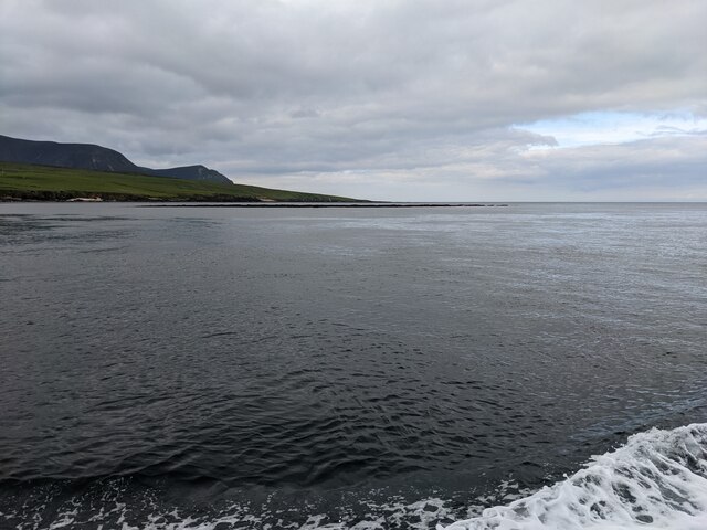
Hoy Sound
Hoy Sound is a body of salt water subject to tidal currents situated south of the town of Stromness in the Orkney archipelago of Scotland. The sound lies...

Ward Hill, Hoy
Ward Hill is a hill on the island of Hoy in Orkney, Scotland. It lies at the north of the island between Moaness and Rackwick, and is the highest point...

Graemsay
Graemsay () is an island in the western approaches to Scapa Flow, in the Orkney Islands of Scotland. The island has two lighthouses. Graemsay lies within...

Breckness House
Breckness House, sometimes known as Breckness Castle, is the site of the 17th century mansion, chapel and burial ground, built by George Graham (1565–1643...
Nearby Amenities
Located within 500m of 58.92551,-3.3454092Have you been to Grims Dale?
Leave your review of Grims Dale below (or comments, questions and feedback).