Rudder Rock
Coastal Feature, Headland, Point in Somerset
England
Rudder Rock
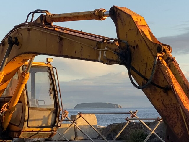
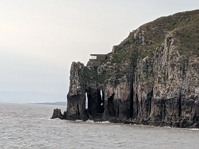
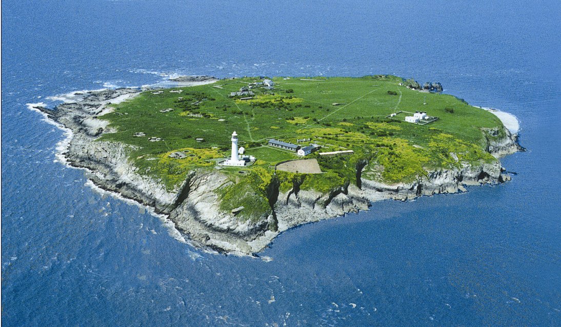
Rudder Rock is a prominent coastal feature located in Somerset, England. Situated along the coastline of the Bristol Channel, this headland juts out into the water, forming a distinct point that is easily recognizable.
The rock gets its name from its resemblance to a rudder, a device used to steer boats. It is composed of rugged cliffs and large boulders, creating a dramatic and picturesque landscape. The rock is formed primarily of sedimentary rock, with layers of sandstone and limestone visible in its composition.
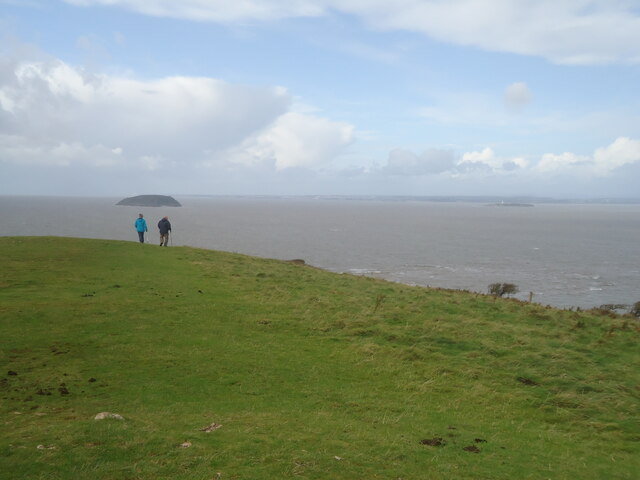
Rudder Rock is a popular destination for outdoor enthusiasts and nature lovers. The headland offers breathtaking views of the surrounding coastline and the vast expanse of the Bristol Channel. It is particularly renowned for its stunning sunsets, which often attract photographers and tourists.
The area surrounding Rudder Rock is home to a diverse range of flora and fauna. The cliffs provide nesting sites for various seabirds, including gulls and cormorants. The rock pools at the base of the cliffs are teeming with marine life, making it a fascinating spot for rockpooling enthusiasts.
Access to Rudder Rock is relatively easy, with a well-maintained footpath leading to the headland from the nearby village. Visitors can enjoy leisurely walks along the coastline, exploring the rock pools, or simply taking in the natural beauty of the area.
Overall, Rudder Rock is a captivating coastal feature that offers stunning views, diverse wildlife, and a tranquil escape for those seeking to connect with nature.
If you have any feedback on the listing, please let us know in the comments section below.
Rudder Rock Images
Images are sourced within 2km of 51.339367/-3.1146036 or Grid Reference ST2260. Thanks to Geograph Open Source API. All images are credited.


Rudder Rock is located at Grid Ref: ST2260 (Lat: 51.339367, Lng: -3.1146036)
Unitary Authority: North Somerset
Police Authority: Avon and Somerset
What 3 Words
///reading.lordship.nightcap. Near Weston-super-Mare, Somerset
Nearby Locations
Related Wikis
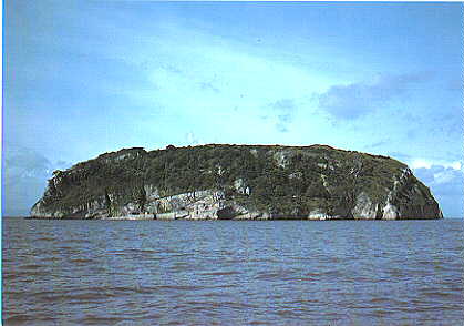
Steep Holm
Steep Holm (Welsh: Ynys Rhonech, Old English: Ronech and later Steopanreolice) is an English island lying in the Bristol Channel. The island covers 48...
Flat Holm
Flat Holm (Welsh: Ynys Echni) is a Welsh island lying in the Bristol Channel approximately 6 km (4 mi) from Lavernock Point in the Vale of Glamorgan. It...

The Wolves (Bristol Channel)
The Wolves are three small rocky islets just over a mile northwest of the island of Flat Holm in the Bristol Channel. They measure approximately 25 metres...
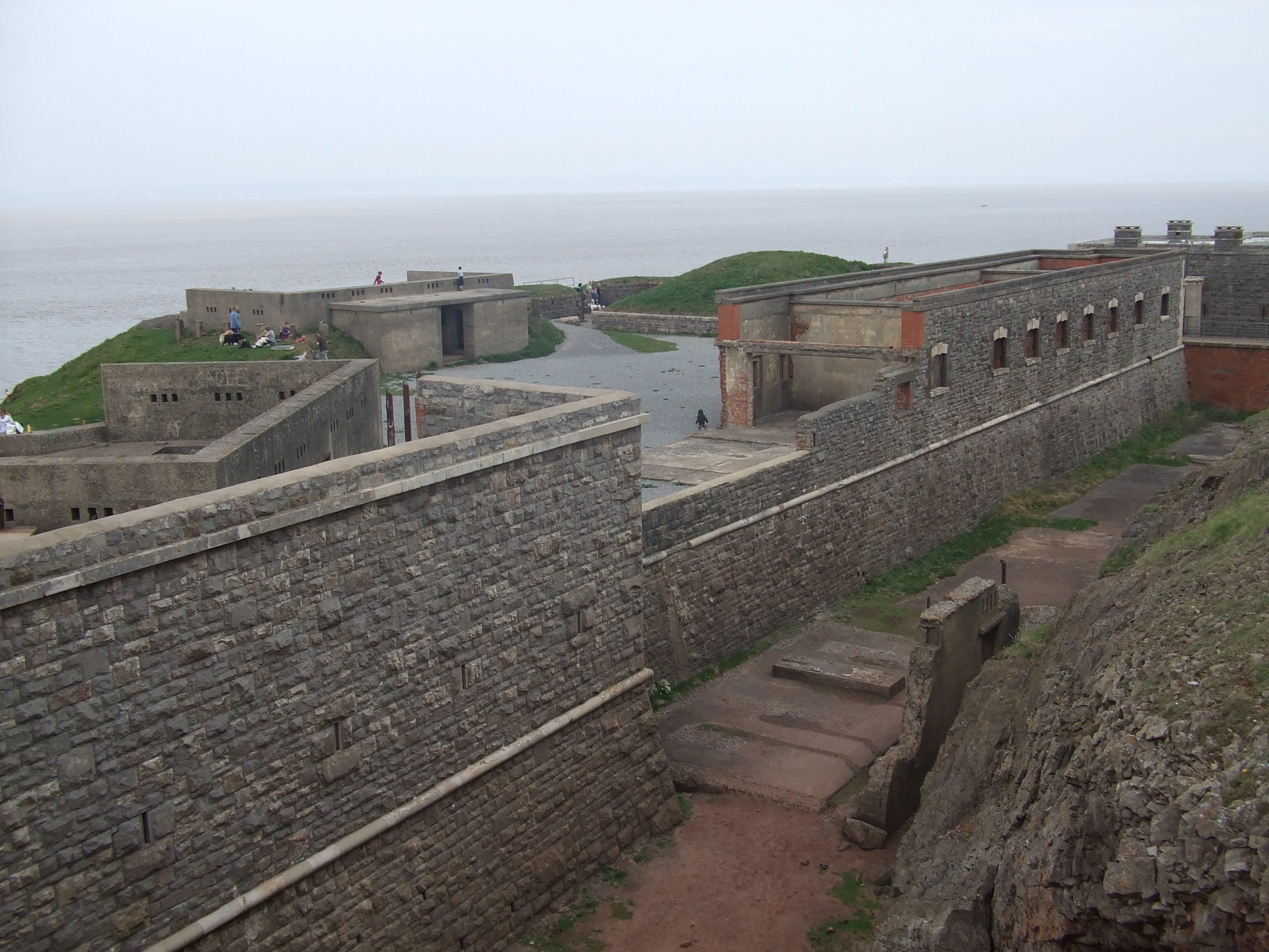
Brean Down Fort
Brean Down Fort was a Victorian naval fortification designed to protect the Bristol Channel. It was built 60 feet (18 m) above sea level on the headland...
Nearby Amenities
Located within 500m of 51.339367,-3.1146036Have you been to Rudder Rock?
Leave your review of Rudder Rock below (or comments, questions and feedback).