Beal
Settlement in Yorkshire Selby
England
Beal

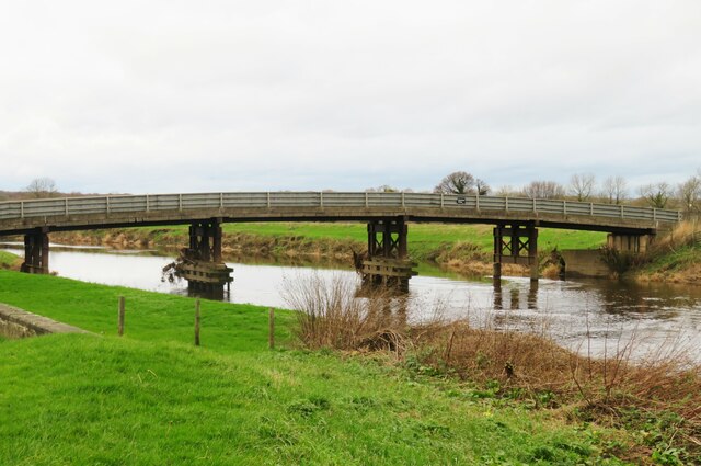
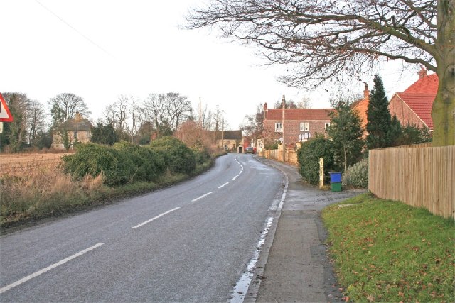
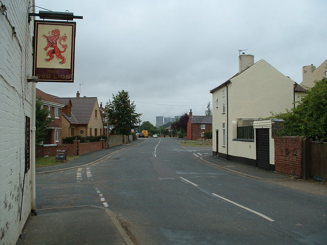
Beal is a small village located in the county of Yorkshire, England. Situated in the East Riding of Yorkshire, Beal is a rural community with a population of around 300 residents. The village lies approximately 10 miles east of the city of Leeds and is bordered by the River Aire to the west.
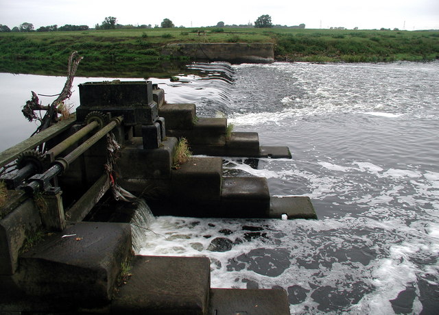
Beal is known for its picturesque surroundings and charming countryside landscapes. The village is surrounded by vast agricultural fields, rolling hills, and meandering rivers, making it an attractive destination for nature lovers and outdoor enthusiasts. The area offers numerous opportunities for walking, cycling, and birdwatching, with the nearby RSPB Fairburn Ings Nature Reserve being a popular spot for wildlife sightings.
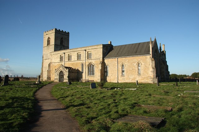
Despite its small size, Beal has a rich history dating back many centuries. The village is home to St Mary's Church, a Grade I listed building that dates back to the 12th century. The church features stunning architectural details and serves as a reminder of the village's historical significance.
In terms of amenities, Beal offers a few local services, including a village hall and a primary school. However, residents typically rely on nearby towns and cities for more extensive facilities and services.
Overall, Beal is a quaint and tranquil village that provides residents and visitors with a peaceful retreat amidst the beautiful Yorkshire countryside.
If you have any feedback on the listing, please let us know in the comments section below.
Beal Images
Images are sourced within 2km of 53.72188/-1.1938341 or Grid Reference SE5325. Thanks to Geograph Open Source API. All images are credited.


Beal is located at Grid Ref: SE5325 (Lat: 53.72188, Lng: -1.1938341)
Division: West Riding
Administrative County: North Yorkshire
District: Selby
Police Authority: North Yorkshire
What 3 Words
///expiring.than.goodbye. Near Knottingley, West Yorkshire
Nearby Locations
Related Wikis
Beal, North Yorkshire
Beal is a village and civil parish in North Yorkshire, England. It is situated on the River Aire, 3.5 miles (6 km) north-east of Knottingley, 8 miles...
Birkin
Birkin is a village and civil parish in the south-west of the Selby district of North Yorkshire, England. It is north of the River Aire, near Beal, North...
Church of St Edmund King and Martyr, Kellington
The Church of St Edmund King and Martyr, Kellington, is a grade I listed 12th century church in the village of Kellington, North Yorkshire, England. Excavations...
Kellington
Kellington is a small village and civil parish in the Selby District of North Yorkshire, England, on the banks of the River Aire. Situated almost equidistant...

Kellingley Colliery
Kellingley Colliery, known affectionately as the 'Big K', was a deep coal mine in North Yorkshire, England, 3.6 miles (5.8 km) east of Ferrybridge power...
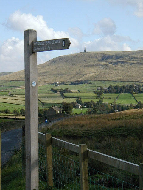
Mary Towneley Loop
The Mary Towneley Loop is a 47-mile (76 km) circular route that forms part of the Pennine Bridleway National Trail, along the borders of Lancashire and...

Whitley Bridge railway station
Whitley Bridge railway station serves the villages of Eggborough and Whitley in North Yorkshire, England. It is located on the Pontefract Line and is 20...

West Haddlesey
West Haddlesey is a village and civil parish in the Selby District of North Yorkshire, England. In the 2011 census, it had about 78 houses and a population...
Nearby Amenities
Located within 500m of 53.72188,-1.1938341Have you been to Beal?
Leave your review of Beal below (or comments, questions and feedback).