Beal
Settlement in Northumberland
England
Beal
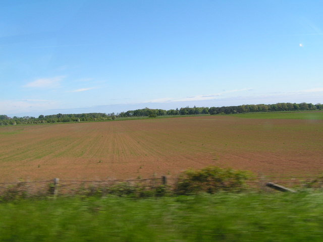
Beal is a small village located in the county of Northumberland, in the northeast of England. Situated on the northern bank of the River Tweed, it lies approximately 4 miles south of the Scottish border. The village is nestled within the picturesque countryside and offers stunning views of the surrounding landscapes.
Beal is best known for being the gateway to the Holy Island of Lindisfarne, which is accessible by a causeway that is exposed during low tide. This historic island is a popular tourist attraction, attracting visitors from far and wide who are keen to explore its rich heritage, including the ruins of Lindisfarne Priory and Lindisfarne Castle.
In addition to its proximity to Lindisfarne, Beal itself boasts a tranquil and idyllic setting, making it an ideal destination for those seeking a peaceful retreat. The village offers a range of accommodation options, including cozy bed and breakfasts and self-catering cottages, providing visitors with a comfortable base to explore the area.
Outdoor enthusiasts will find plenty of opportunities to discover the natural beauty of the region, with various walking and cycling routes nearby. The nearby Budle Bay Nature Reserve is a haven for birdwatching, attracting a wide range of bird species throughout the year.
Although small in size, Beal is home to a friendly and welcoming community. The village has a pub and a café, providing locals and visitors alike with a place to relax and enjoy a meal or a drink.
Overall, Beal is a charming village that offers a peaceful escape with easy access to the nearby Holy Island of Lindisfarne, making it a popular destination for tourists exploring the beauty of Northumberland.
If you have any feedback on the listing, please let us know in the comments section below.
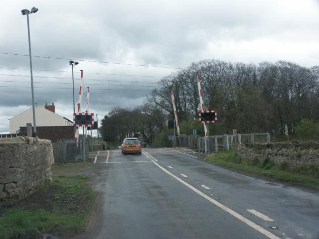
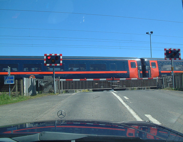
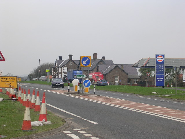
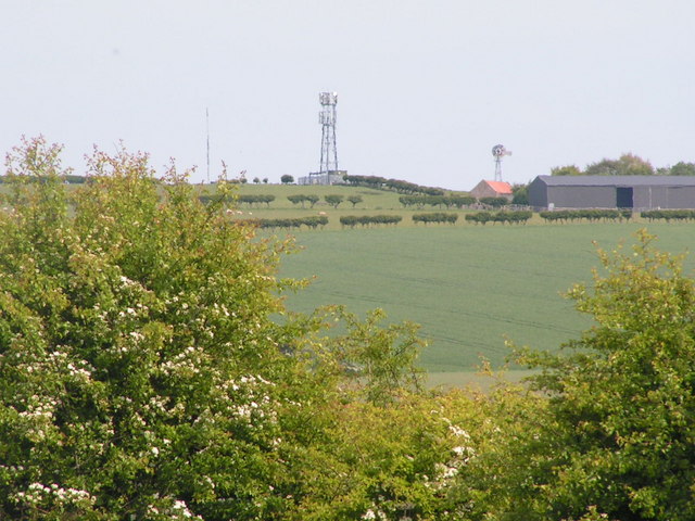
Beal Images
Images are sourced within 2km of 55.677426/-1.897241 or Grid Reference NU0642. Thanks to Geograph Open Source API. All images are credited.


Beal is located at Grid Ref: NU0642 (Lat: 55.677426, Lng: -1.897241)
Unitary Authority: Northumberland
Police Authority: Northumbria
What 3 Words
///sprinkler.sharpness.sensual. Near Lowick, Northumberland
Nearby Locations
Related Wikis

Beal, Northumberland
Beal is a village in Northumberland, in England. It is situated a short distance inland from the North Sea coast, and lies on the link road between the...
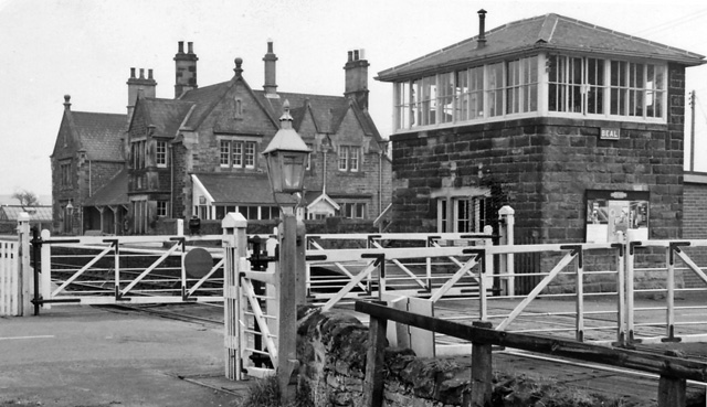
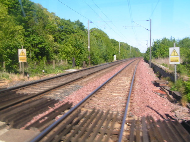
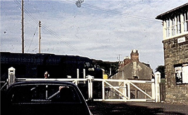
Beal railway station
Beal railway station, also known as Beal for Holy Island railway station, was a railway station that served the village of Beal, Northumberland, England...

Islandshire
Islandshire was an area of Northumberland, England, comprising Lindisfarne or Holy Island, plus five parishes on the mainland. It is historically associated...
Fenwick, Kyloe
Fenwick is a small hamlet in the civil parish of Kyloe near Berwick-upon-Tweed and has a population of approx 400. Fenwick lies only three miles from Holy...
Goswick
Goswick () is a hamlet in Northumberland, England, situated approximately south-east of Berwick-upon-Tweed, England, between the A1 and the North Sea coast...

Haggerston Castle
Haggerston Castle was a castle located in the county of Northumberland, England at Haggerston about 5 miles (8 km) south of Berwick-upon-Tweed. Only the...

Haggerston, Northumberland
Haggerston is a hamlet located in the county of Northumberland, England about 5 miles (8 km) south of Berwick-upon-Tweed and adjacent to the A1 road. Historically...
Goswick rail crash
The Goswick rail crash occurred on 26 October 1947 near the village of Goswick, Northumberland, England. The Flying Scotsman express from Edinburgh Waverley...
Nearby Amenities
Located within 500m of 55.677426,-1.897241Have you been to Beal?
Leave your review of Beal below (or comments, questions and feedback).