Beal Island
Island in Yorkshire Selby
England
Beal Island

Beal Island, also known as Beal, is a small island located off the coast of Yorkshire, England. Situated in the North Sea, it is part of the East Riding of Yorkshire and lies approximately 3 miles southeast of the town of Bridlington.
Covering an area of around 60 acres, Beal Island is relatively flat and boasts beautiful sandy beaches that attract visitors throughout the year. The island is accessible via a causeway that is submerged during high tide, making it a tidal island. This unique feature adds to the charm and appeal of Beal Island, as it provides a sense of seclusion and tranquility.
The island is known for its wildlife, particularly its bird population. It is designated as a Site of Special Scientific Interest due to its importance as a breeding ground and habitat for various bird species, including gulls, oystercatchers, and terns. Birdwatchers often visit Beal Island to observe and study these avian inhabitants.
Beal Island also holds historical significance. It was once home to a medieval chapel, which has since been demolished. Ruins of a 19th-century lifeboat station can still be seen on the island, serving as a reminder of its maritime past.
Visitors to Beal Island can enjoy leisurely walks along its sandy beaches, explore the wildlife, or simply relax in the peaceful surroundings. The island offers a unique escape from the bustling mainland, providing an opportunity to connect with nature and appreciate the natural beauty of Yorkshire's coastline.
If you have any feedback on the listing, please let us know in the comments section below.
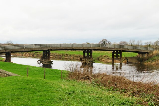
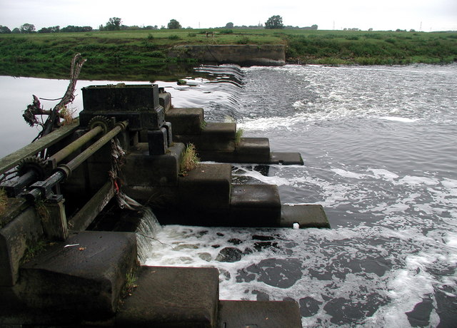
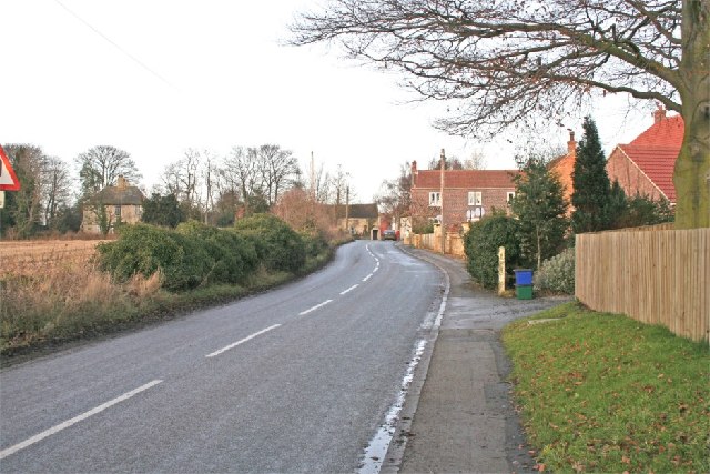
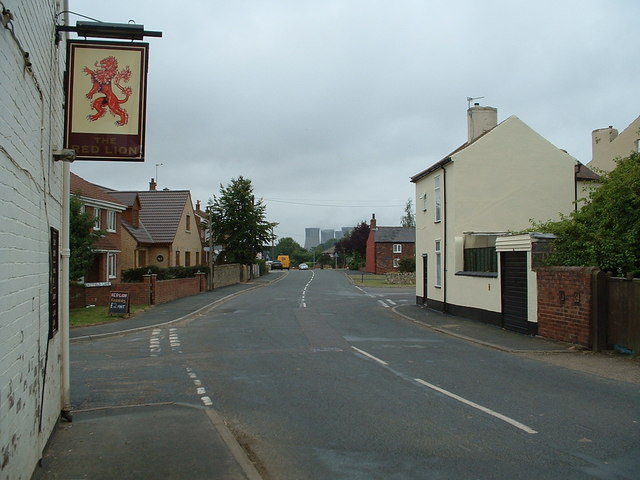
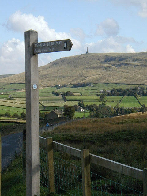
Beal Island Images
Images are sourced within 2km of 53.723554/-1.1915742 or Grid Reference SE5325. Thanks to Geograph Open Source API. All images are credited.


Beal Island is located at Grid Ref: SE5325 (Lat: 53.723554, Lng: -1.1915742)
Division: West Riding
Administrative County: North Yorkshire
District: Selby
Police Authority: North Yorkshire
What 3 Words
///advantage.bolsters.remains. Near Knottingley, West Yorkshire
Nearby Locations
Related Wikis
Beal, North Yorkshire
Beal is a village and civil parish in North Yorkshire, England. It is situated on the River Aire, 3.5 miles (6 km) north-east of Knottingley, 8 miles...
Birkin
Birkin is a village and civil parish in the south-west of the Selby district of North Yorkshire, England. It is north of the River Aire, near Beal, North...
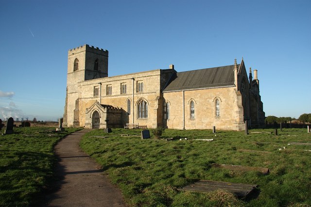
Church of St Edmund King and Martyr, Kellington
The Church of St Edmund King and Martyr, Kellington, is a grade I listed 12th century church in the village of Kellington, North Yorkshire, England. Excavations...
Kellington
Kellington is a small village and civil parish in the Selby District of North Yorkshire, England, on the banks of the River Aire. Situated almost equidistant...

Kellingley Colliery
Kellingley Colliery, known affectionately as the 'Big K', was a deep coal mine in North Yorkshire, England, 3.6 miles (5.8 km) east of Ferrybridge power...

West Haddlesey
West Haddlesey is a village and civil parish in the Selby District of North Yorkshire, England. In the 2011 census, it had about 78 houses and a population...

Whitley Bridge railway station
Whitley Bridge railway station serves the villages of Eggborough and Whitley in North Yorkshire, England. It is located on the Pontefract Line and is 20...
Mary Towneley Loop
The Mary Towneley Loop is a 47-mile (76 km) circular route that forms part of the Pennine Bridleway National Trail, along the borders of Lancashire and...
Nearby Amenities
Located within 500m of 53.723554,-1.1915742Have you been to Beal Island?
Leave your review of Beal Island below (or comments, questions and feedback).