Dawson Rock
Coastal Feature, Headland, Point in Cumberland Copeland
England
Dawson Rock
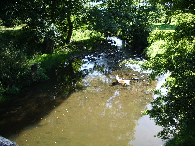
Dawson Rock is a prominent coastal feature located in Cumberland, a coastal region known for its rugged cliffs and picturesque landscapes. Situated on the eastern coast of Cumberland, Dawson Rock is a headland that juts out into the ocean, forming a distinct point that offers breathtaking views of the surrounding area.
The rock itself is a massive formation, composed of sandstone and granite, with a height of approximately 60 meters. Its unique shape and size make it a popular landmark for both locals and tourists alike. The rugged cliffs that surround Dawson Rock provide a dramatic backdrop, further enhancing its visual appeal.
The headland offers stunning panoramic views of the ocean, making it a favorite spot for photographers and nature enthusiasts. On clear days, visitors can see the vast expanse of the sea, with waves crashing against the rocks below. The area is also home to a diverse range of marine wildlife, including seals, dolphins, and various seabird species, making it a haven for wildlife enthusiasts.
Access to Dawson Rock is relatively easy, with a well-maintained footpath that leads visitors to the headland. The path meanders through coastal vegetation and offers glimpses of the surrounding countryside. The journey to the top of the rock is rewarded with breathtaking views, making it a popular spot for hikers and nature lovers.
Overall, Dawson Rock is a remarkable coastal feature in Cumberland that offers visitors an opportunity to experience the raw beauty of nature. Its towering presence, stunning views, and abundant wildlife make it a must-visit destination for anyone exploring the region.
If you have any feedback on the listing, please let us know in the comments section below.
Dawson Rock Images
Images are sourced within 2km of 54.567937/-3.584465 or Grid Reference NX9720. Thanks to Geograph Open Source API. All images are credited.


Dawson Rock is located at Grid Ref: NX9720 (Lat: 54.567937, Lng: -3.584465)
Administrative County: Cumbria
District: Copeland
Police Authority: Cumbria
What 3 Words
///bank.sits.petty. Near Whitehaven, Cumbria
Nearby Locations
Related Wikis
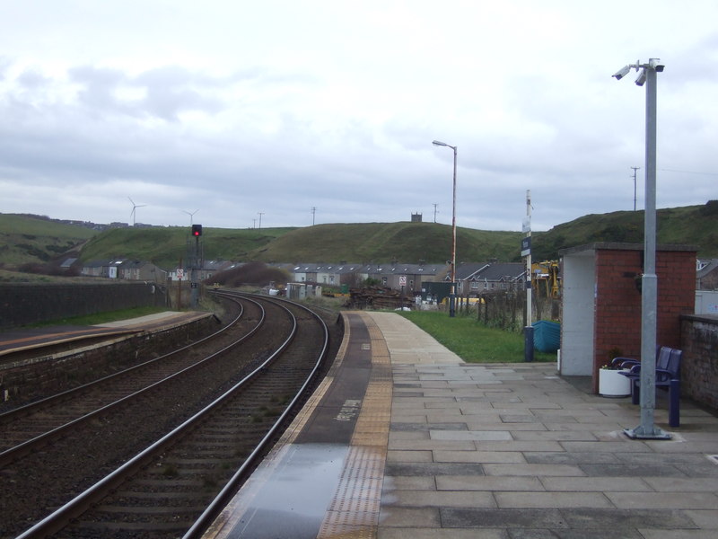
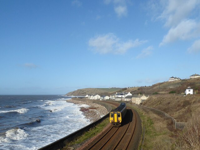
Parton railway station
Parton railway station is a railway station serving the village of Parton in Cumbria, England. It is on the Cumbrian Coast Line, which runs between Carlisle...
Parton, Cumbria
Parton is a village and civil parish on the Cumbrian coast, overlooking the Solway Firth, 1¼ miles (2 km) from Whitehaven in England. The parish had a...
Lowca Beck
Lowca Beck is a beck in the county of Cumbria, England. The beck rises (as Distington Beck) in the vicinity of Gilgarran and flows by Distington and the...
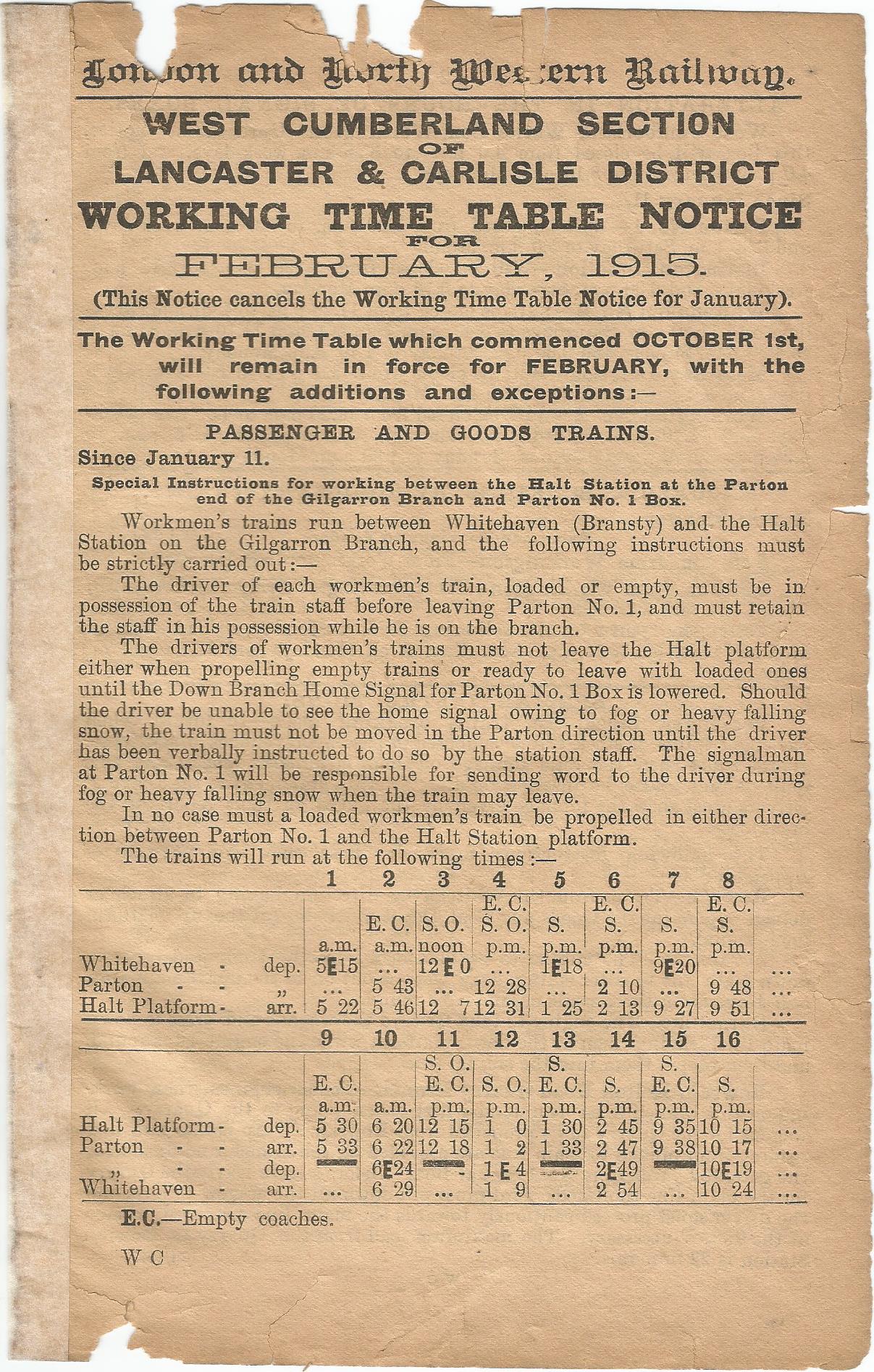
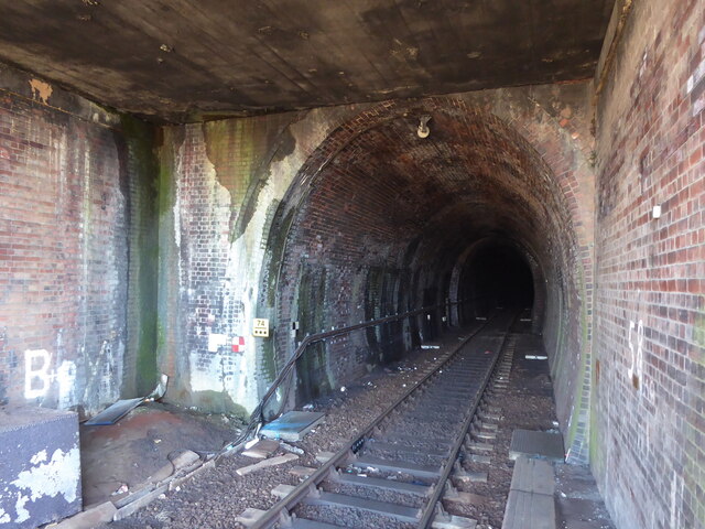
Parton Halt railway station
Parton Halt railway station was opened by the LNWR and FR Joint Railway ("The Joint Line") in January 1915 and closed by the LMSR fourteen years later...
Nearby Amenities
Located within 500m of 54.567937,-3.584465Have you been to Dawson Rock?
Leave your review of Dawson Rock below (or comments, questions and feedback).