Flat Plate
Coastal Feature, Headland, Point in Cumberland Copeland
England
Flat Plate
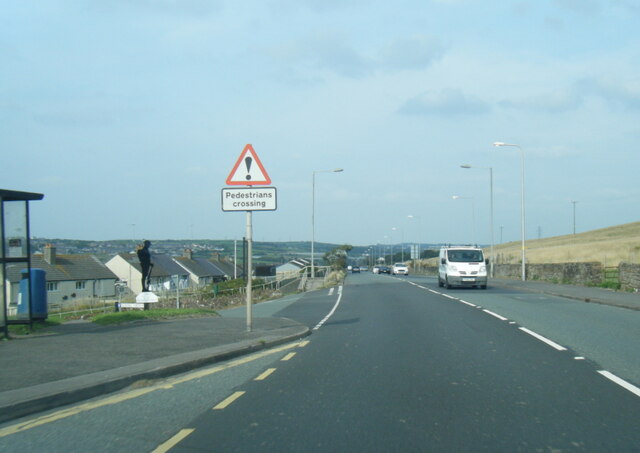
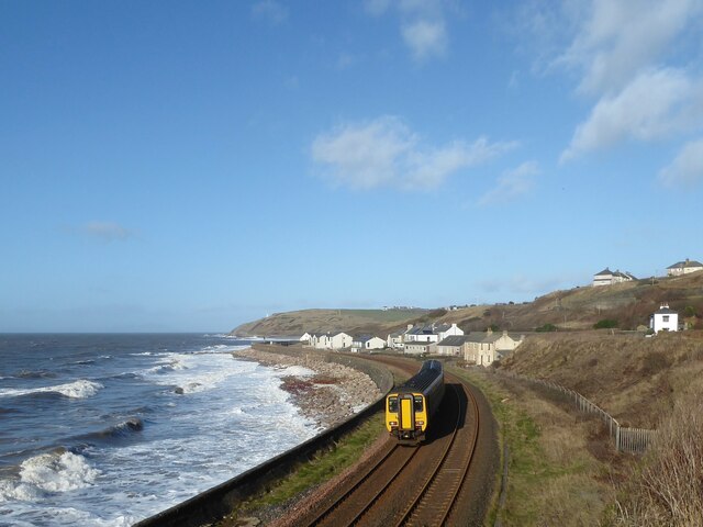
Flat Plate, Cumberland is a prominent coastal feature located in the state of Maine, United States. Situated on the southern coast, it is specifically found in the town of Cumberland. Flat Plate is characterized as a headland or point, jutting out into the Atlantic Ocean.
This natural formation is known for its distinct flatness, which is highly unusual for a headland. It stands out among the surrounding landscape due to its unique topography. The flatness of the plateau-like area serves as a stark contrast to the rugged cliffs and steep slopes commonly associated with headlands.
Flat Plate is composed primarily of sedimentary rock, which has been shaped and eroded over millions of years by the relentless forces of wind and water. The constant pounding of waves against the headland has contributed to the formation of a small beach at its base. This beach is a popular spot for locals and visitors alike, who come to enjoy the scenic beauty and tranquility of the area.
The coastal feature also offers breathtaking views of the Atlantic Ocean, making it a favorite destination for nature enthusiasts, photographers, and hikers. The surrounding landscape is rich in diverse flora and fauna, providing ample opportunities for wildlife observation and exploration.
Flat Plate, Cumberland is not only a geological marvel but also an important cultural and historical site. It has been a significant landmark for local communities for centuries, serving as a navigational point for fishermen and sailors. Today, it continues to be a cherished coastal feature, attracting people from all walks of life who seek solace and inspiration in its natural beauty.
If you have any feedback on the listing, please let us know in the comments section below.
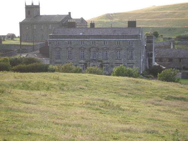
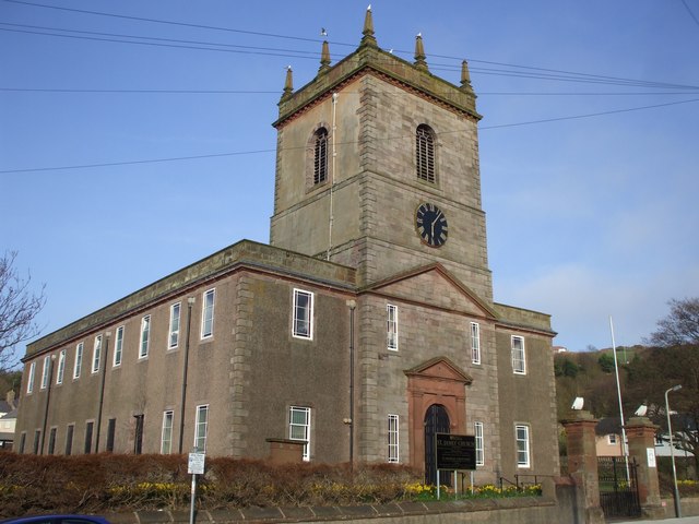
Flat Plate Images
Images are sourced within 2km of 54.565674/-3.5843462 or Grid Reference NX9720. Thanks to Geograph Open Source API. All images are credited.


Flat Plate is located at Grid Ref: NX9720 (Lat: 54.565674, Lng: -3.5843462)
Administrative County: Cumbria
District: Copeland
Police Authority: Cumbria
What 3 Words
///tries.juror.score. Near Whitehaven, Cumbria
Nearby Locations
Related Wikis
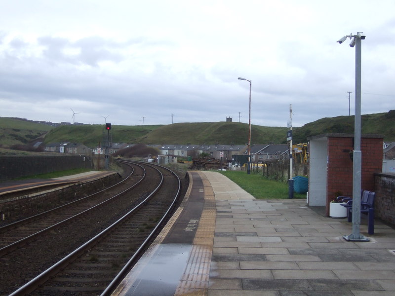
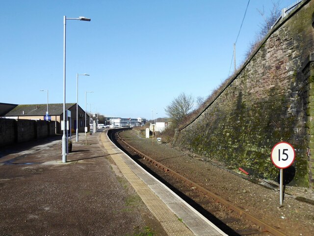
Parton railway station
Parton railway station is a railway station serving the village of Parton in Cumbria, England. It is on the Cumbrian Coast Line, which runs between Carlisle...
Parton, Cumbria
Parton is a village and civil parish on the Cumbrian coast, overlooking the Solway Firth, 1¼ miles (2 km) from Whitehaven in England. The parish had a...

Lowca Beck
Lowca Beck is a beck in the county of Cumbria, England.The beck rises (as Distington Beck) in the vicinity of Gilgarran and flows by Distington and the...
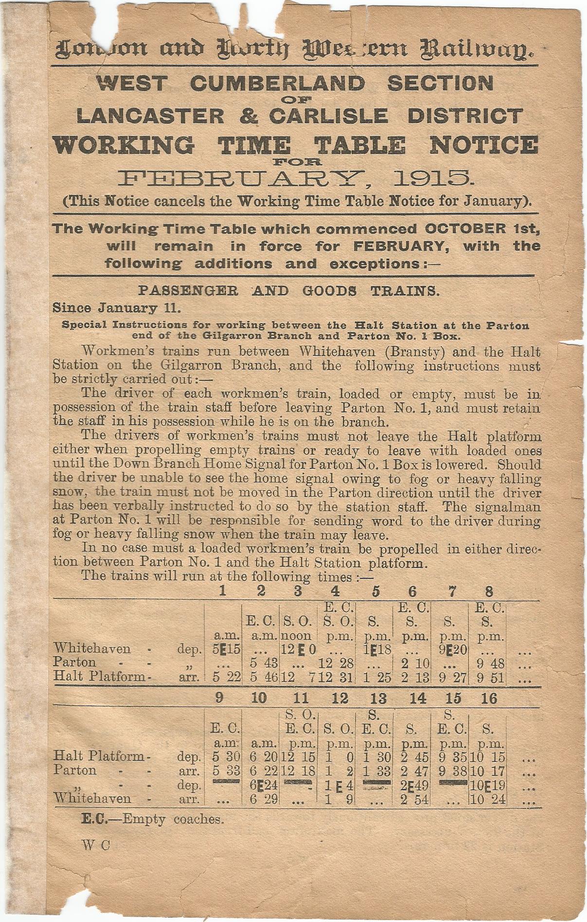
Parton Halt railway station
Parton Halt railway station was opened by the LNWR and FR Joint Railway ("The Joint Line") in January 1915 and closed by the LMSR fourteen years later...
Moresby Hall
Moresby Hall is a former manor house and hotel in Parton, Cumbria, England, overlooking the Cumbrian Fells, and just to the north of the village of Moresby...
Quality Corner
Quality Corner is a hamlet in the English county of Cumbria. Quality Corner is located about one mile east of the port of Whitehaven; its postal address...

Whitehaven railway station
Whitehaven railway station is a railway station serving the coastal town of Whitehaven in Cumbria, England. It is on the Cumbrian Coast Line, which runs...
St James' Church, Whitehaven
St James' Church is in High Street, Whitehaven, Cumbria, England, at the crossing with the top of Queen Street. It stands in an elevated position overlooking...
Nearby Amenities
Located within 500m of 54.565674,-3.5843462Have you been to Flat Plate?
Leave your review of Flat Plate below (or comments, questions and feedback).