Fishing Rock
Coastal Feature, Headland, Point in Cumberland Copeland
England
Fishing Rock
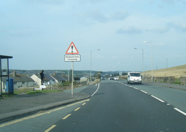
Fishing Rock, located in Cumberland, is a prominent coastal feature that stands as a headland and point along the coastline. This majestic rock formation is situated on the eastern coast of Cumberland County, in the northeastern region of the United States. With its picturesque location, it has become a popular destination for locals and tourists alike.
Fishing Rock is characterized by its towering cliffs, which jut out into the Atlantic Ocean. The rock is composed of sedimentary layers that have been shaped over millions of years by the constant erosion caused by wind and waves. Its unique geological structure has made it a significant landmark in the area.
The name "Fishing Rock" is derived from its historical association with the local fishing industry. For generations, fishermen have utilized this headland as a vantage point for spotting schools of fish and navigating their boats. The rock's strategic location offers an unobstructed view of the surrounding waters, making it an ideal spot for anglers to cast their lines.
Aside from its fishing significance, Fishing Rock also serves as a natural habitat for various marine species. The rock's rocky crevices and tidal pools provide shelter and food for a diverse array of marine life, including crabs, barnacles, and small fish.
Overall, Fishing Rock in Cumberland stands as a magnificent coastal feature, serving as a headland and point that offers not only breathtaking views but also plays a crucial role in the local fishing industry and provides a thriving ecosystem for marine organisms.
If you have any feedback on the listing, please let us know in the comments section below.
Fishing Rock Images
Images are sourced within 2km of 54.567456/-3.5841988 or Grid Reference NX9720. Thanks to Geograph Open Source API. All images are credited.


Fishing Rock is located at Grid Ref: NX9720 (Lat: 54.567456, Lng: -3.5841988)
Administrative County: Cumbria
District: Copeland
Police Authority: Cumbria
What 3 Words
///town.rates.remove. Near Whitehaven, Cumbria
Nearby Locations
Related Wikis
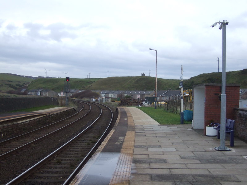
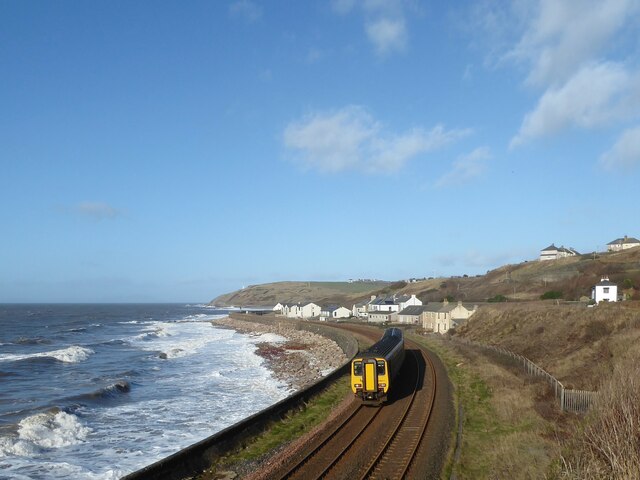
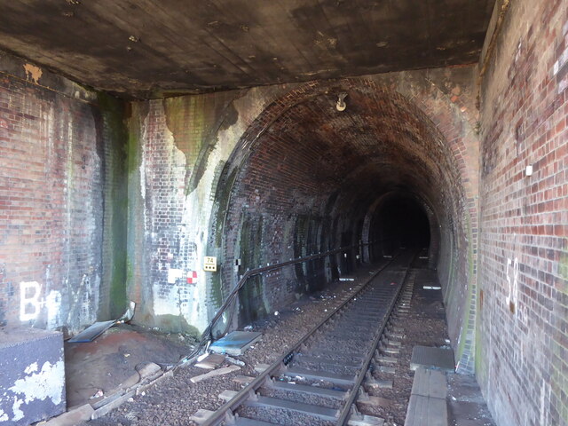
Parton railway station
Parton railway station is a railway station serving the village of Parton in Cumbria, England. It is on the Cumbrian Coast Line, which runs between Carlisle...
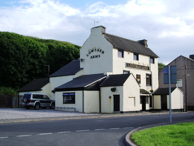
Parton, Cumbria
Parton is a village and civil parish on the Cumbrian coast, overlooking the Solway Firth, 1¼ miles (2 km) from Whitehaven in England. The parish had a...

Lowca Beck
Lowca Beck is a beck in the county of Cumbria, England.The beck rises (as Distington Beck) in the vicinity of Gilgarran and flows by Distington and the...
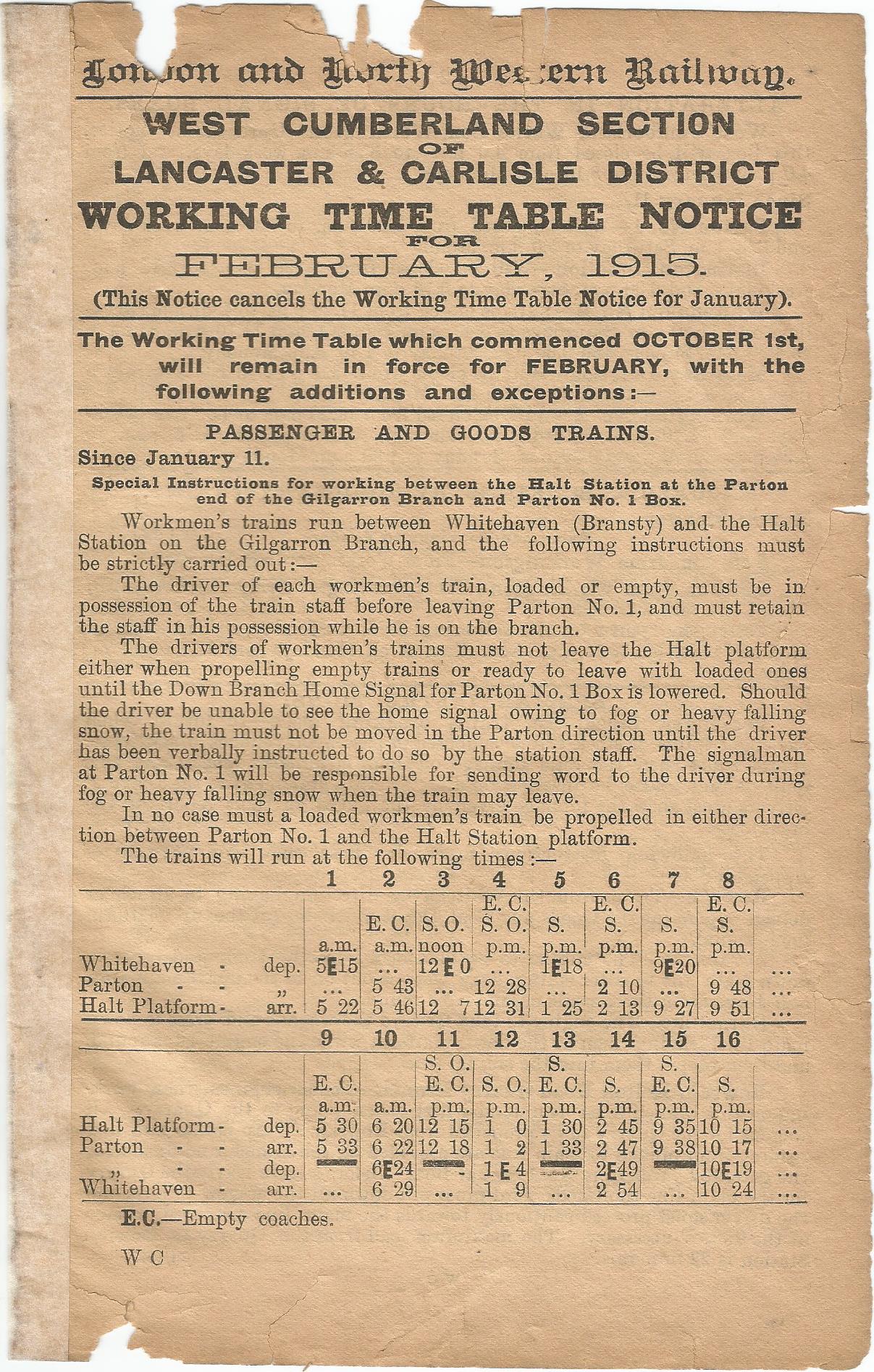
Parton Halt railway station
Parton Halt railway station was opened by the LNWR and FR Joint Railway ("The Joint Line") in January 1915 and closed by the LMSR fourteen years later...
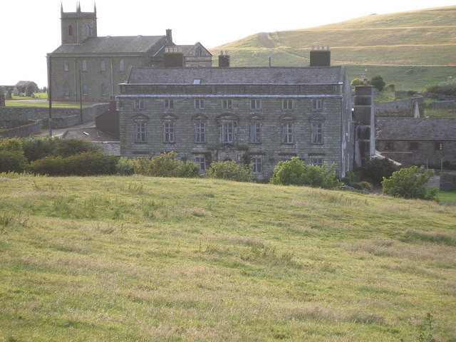
Moresby Hall
Moresby Hall is a former manor house and hotel in Parton, Cumbria, England, overlooking the Cumbrian Fells, and just to the north of the village of Moresby...
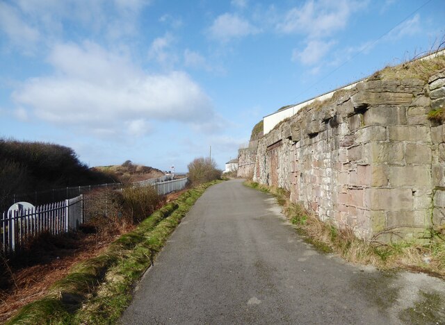
Quality Corner
Quality Corner is a hamlet in the English county of Cumbria. Quality Corner is located about one mile east of the port of Whitehaven; its postal address...

Whitehaven railway station
Whitehaven railway station is a railway station serving the coastal town of Whitehaven in Cumbria, England. It is on the Cumbrian Coast Line, which runs...
Lowca railway station
Lowca had two railway stations that served the village of Lowca in the former county of Cumberland, England, which is now part of Cumbria.The line was...
Nearby Amenities
Located within 500m of 54.567456,-3.5841988Have you been to Fishing Rock?
Leave your review of Fishing Rock below (or comments, questions and feedback).