Clais Mhor

Coastal Feature, Headland, Point in Sutherland

Scotland

Clais Mhor

Kirtomy Bay
Kirtomy Bay Credit: Peter Moore

Clais Mhor is a prominent coastal feature located in Sutherland, Scotland. It is a stunning headland that juts out into the North Atlantic Ocean, creating a distinctive point along the rugged Scottish coastline. The name "Clais Mhor" translates to "big trench" in Scottish Gaelic, which aptly describes the geographical formation of this headland.

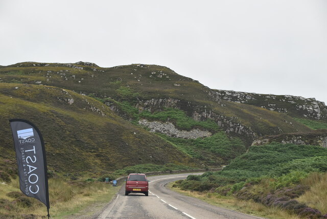
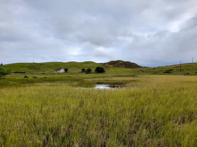
This coastal feature is characterized by its steep cliffs and rocky terrain. The cliffs at Clais Mhor rise to impressive heights, providing breathtaking panoramic views of the surrounding ocean and coastline. The headland is composed of various types of rock, including sandstone and shale, which have been shaped by erosion over millions of years.

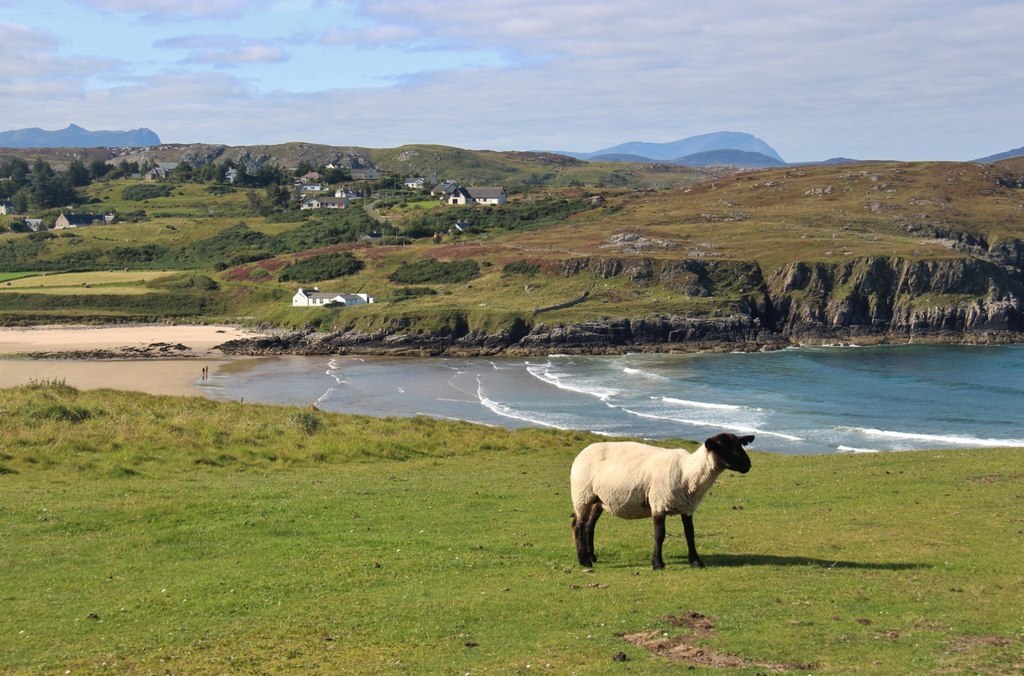
Clais Mhor is home to a diverse range of flora and fauna, making it a popular destination for nature enthusiasts. The headland is adorned with vibrant wildflowers during the summer months, attracting a variety of insects and butterflies. Seabirds, such as puffins and gannets, can also be spotted nesting on the cliffs, while seals and dolphins can be seen swimming in the waters below.

Due to its remote location and rugged beauty, Clais Mhor offers a peaceful and tranquil escape for visitors. Hiking trails and coastal paths allow visitors to explore the headland and take in its natural splendor. It is also a popular spot for birdwatching, photography, and picnicking.

In conclusion, Clais Mhor is a remarkable coastal feature in Sutherland, Scotland. Its dramatic cliffs, diverse wildlife, and stunning views make it a must-visit destination for nature lovers and outdoor enthusiasts.

If you have any feedback on the listing, please let us know in the comments section below.

Clais Mhor Images

Images are sourced within 2km of 58.541564/-4.1690019 or Grid Reference NC7363. Thanks to Geograph Open Source API. All images are credited.

Kirtomy Bay
Kirtomy Bay
Phone Box at Kirtomy
Bettyhill View Point On the A836, East of Bettyhill, the view point offers excellent views across to Ben Loyal and Ben Hope and the sky line to the West. The interpretive boards help with identification of the peaks.
Bettyhill View Point
On the A836, East of Bettyhill, the view point offers excellent views across to Ben Loyal and Ben Hope and the sky line to the West. The interpretive boards help with identification of the peaks.
Loch Salachaidh - 1978 Loch Salachaidh, A836.
Loch Salachaidh - 1978
Loch Salachaidh, A836.
Cyclist on the A836 The cyclist shown here was one of 800 on this day who were completing a Lands End to John O'Groats cycle ride.  This final stretch of coast road provides a slightly undulating but not otherwise stressful end to several weeks of cycling.
Cyclist on the A836
The cyclist shown here was one of 800 on this day who were completing a Lands End to John O'Groats cycle ride. This final stretch of coast road provides a slightly undulating but not otherwise stressful end to several weeks of cycling.
The road to Swordly and Kirtomy
A836 heading east alongside Kirtomy Burn The double warning is appropriate!
A836 heading east alongside Kirtomy Burn
The double warning is appropriate!
Loch Salachaidh colours the moor
House near Swordly Burn For sale and being slowly engulfed by bracken at the time I was there in 1994.
House near Swordly Burn
For sale and being slowly engulfed by bracken at the time I was there in 1994.
Post Box and Bus Shelter Post Box KW14 58. Royal Mail list this box as 'Kirtomy Road End'.
Post Box and Bus Shelter
Post Box KW14 58. Royal Mail list this box as 'Kirtomy Road End'.
Exposed Rock, Cnoc Mor I think this may be an example of Moine Schist.
Exposed Rock, Cnoc Mor
I think this may be an example of Moine Schist.
NC500 The A836 runs 122 miles from Dornoch Bridge to John O' Groats <a href="https://www.geograph.org.uk/photo/7086916">ND3872 : A836, John O' Groats</a>. Much of it is still single track.
<span class="nowrap"><a title="https://www.sabre-roads.org.uk/wiki/index.php?title=A836" rel="nofollow ugc noopener" href="https://www.sabre-roads.org.uk/wiki/index.php?title=A836">Link</a><img style="margin-left:2px;" alt="External link" title="External link - shift click to open in new window" src="https://s1.geograph.org.uk/img/external.png" width="10" height="10"/></span>
NC500
The A836 runs 122 miles from Dornoch Bridge to John O' Groats ND3872 : A836, John O' Groats. Much of it is still single track. LinkExternal link
Entering Bettyhill The A836 runs 122 miles from Dornoch Bridge to John O' Groats <a href="https://www.geograph.org.uk/photo/7086916">ND3872 : A836, John O' Groats</a>. Much of it is still single track.
<span class="nowrap"><a title="https://www.sabre-roads.org.uk/wiki/index.php?title=A836" rel="nofollow ugc noopener" href="https://www.sabre-roads.org.uk/wiki/index.php?title=A836">Link</a><img style="margin-left:2px;" alt="External link" title="External link - shift click to open in new window" src="https://s1.geograph.org.uk/img/external.png" width="10" height="10"/></span>
Entering Bettyhill
The A836 runs 122 miles from Dornoch Bridge to John O' Groats ND3872 : A836, John O' Groats. Much of it is still single track. LinkExternal link
Loch Salachaidh By the A836.
Loch Salachaidh
By the A836.
Swordly Loch
Swordly Loch
Cyclists on the A836 Climbing up to the Bettyhill viewpoint
Cyclists on the A836
Climbing up to the Bettyhill viewpoint
Bettyhill viewpoint With interpretative boards to identify otherwise difficult to identify peaks and a picnic spot for dry days
Bettyhill viewpoint
With interpretative boards to identify otherwise difficult to identify peaks and a picnic spot for dry days
Show me another place!

Clais Mhor is located at Grid Ref: NC7363 (Lat: 58.541564, Lng: -4.1690019)

Unitary Authority: Highland

Police Authority: Highlands and Islands

What 3 Words

///breakfast.dressings.triangle. Near Reay, Highland

Related Wikis

Swordly

Swordly (Scottish Gaelic: Suardailigh) is an extremely remote hamlet, located on the Bay of Swordly, on the north coastline of Scotland in Sutherland...

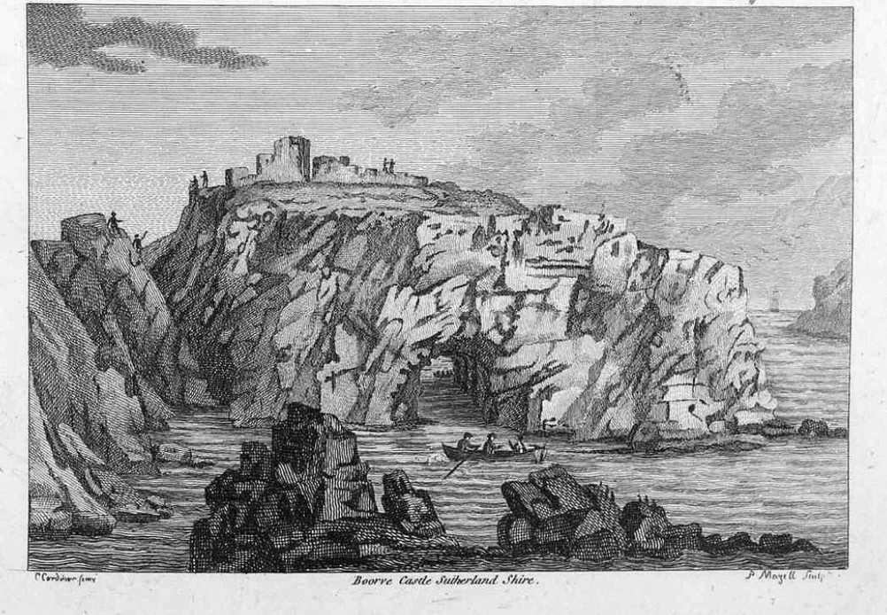
Borve Castle, Sutherland

Borve Castle in Sutherland, Scottish Highlands is now a ruin. Formerly called the House of Burro. It was built in Kirtomy Bay near the hamlet of Farr....

Farr, Sutherland

Farr (Scottish Gaelic: Fàrr) is a parish in the county of Sutherland in the Scottish council area of Highland. The parish also includes a small hamlet...

Crask

Crask is a small remote hamlet, situated on Farr Bay in the Scottish Highlands, on the shore of northern Sutherland in the Scottish council area of Highland...

Strathnaver Museum

Strathnaver Museum is located in Bettyhill, Sutherland, Scotland. It is a fully accredited volunteer-run independent museum which first opened in 1976...
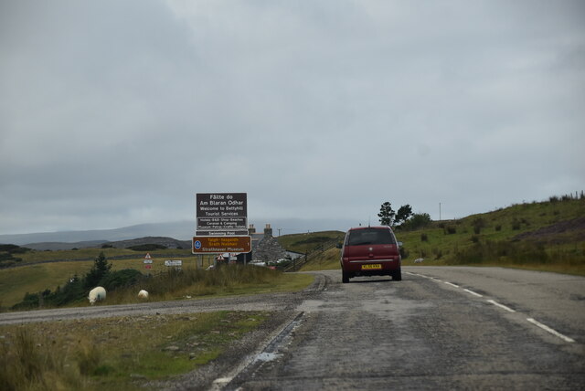
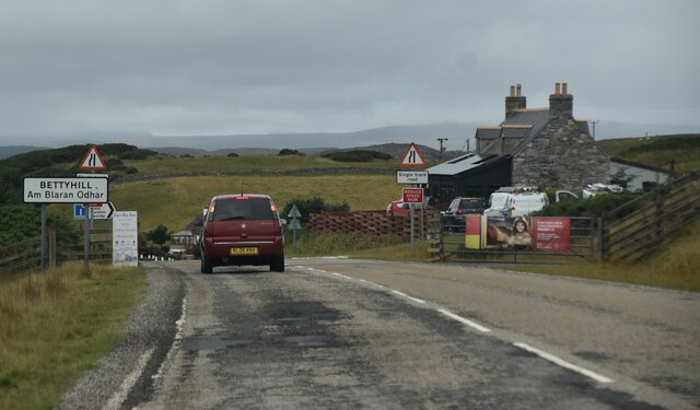
Bettyhill

Bettyhill (Scottish Gaelic: Am Blàran Odhar) is a village in the parish of Farr, on the north coast of Scotland.Bettyhill lies on the A836 road 32 miles...

Invernaver

Invernaver (Gaelic: Inbhir Nabhair) is a small, remote hamlet, situated on the west bank of the River Naver as it flows into Torrisdale Bay, in Sutherland...

Armadale, Sutherland

Armadale (Scottish Gaelic: Armadal, Scots: Airmadale) is a small village on the north coast of Scotland, in the council area of Highland. The village is...

Nearby Amenities

Located within 500m of 58.541564,-4.1690019
Source: PGS
Lat/Long: 58.5452375/-4.1649942
Source: PGS
Lat/Long: 58.5448381/-4.1655896
Created By: almien_coastlines
Source: PGS
Lat/Long: 58.544224/-4.165727
Source: PGS
Lat/Long: 58.5440467/-4.1656202
Source: PGS
Lat/Long: 58.5442079/-4.165875
Source: PGS
Lat/Long: 58.5445195/-4.1669742
Source: PGS
Lat/Long: 58.5449792/-4.1676758
Source: PGS
Lat/Long: 58.5450431/-4.1677606
Source: PGS
Lat/Long: 58.5449317/-4.1686001
Source: PGS
Lat/Long: 58.5452735/-4.1701875
Source: PGS
Lat/Long: 58.5445454/-4.170158
Source: PGS
Lat/Long: 58.5445504/-4.171093
Source: PGS
Lat/Long: 58.5446162/-4.171667
Source: PGS
Lat/Long: 58.5446509/-4.172285
Source: PGS
Lat/Long: 58.5448925/-4.1734238
Created By: almien_coastlines
Source: PGS
Lat/Long: 58.544398/-4.174791
Source: PGS
Lat/Long: 58.5441605/-4.1748658
Source: PGS
Lat/Long: 58.5442369/-4.1749752
Source: PGS
Lat/Long: 58.544275/-4.1751126
Source: PGS
Lat/Long: 58.5429326/-4.1740552
Source: PGS
Lat/Long: 58.5427106/-4.1738616
Source: PGS
Lat/Long: 58.5427062/-4.1737253
Source: PGS
Lat/Long: 58.542317/-4.1755063
Source: PGS
Lat/Long: 58.5422347/-4.1760079
Source: PGS
Lat/Long: 58.5423834/-4.1769134
Clais Mhor
Place: locality
Source: OSODSV
Lat/Long: 58.5417451/-4.169504
Power: pole
Lat/Long: 58.5406389/-4.1615518
Power: pole
Lat/Long: 58.5410463/-4.1616141
Power: pole
Lat/Long: 58.539816/-4.1612091
The data included in this document is from www.openstreetmap.org. The data is made available under ODbL.

Have you been to Clais Mhor?

Leave your review of Clais Mhor below (or comments, questions and feedback).