Swordly

Settlement in Sutherland

Scotland

Swordly

Kirtomy Bay
Kirtomy Bay Credit: Peter Moore

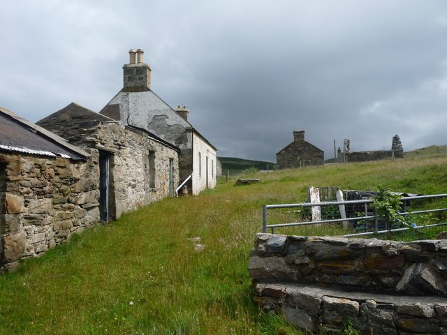
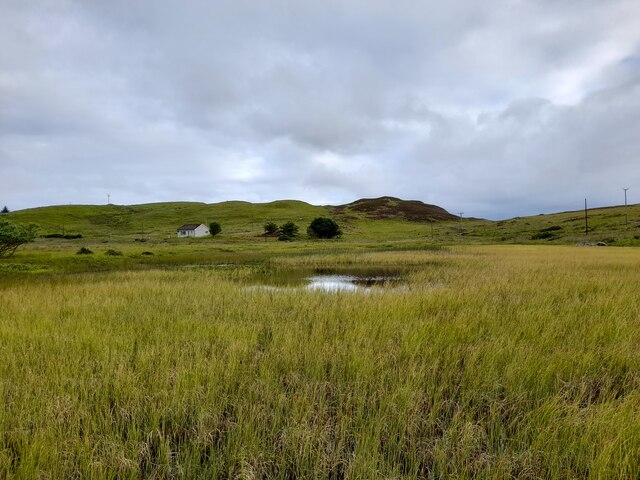
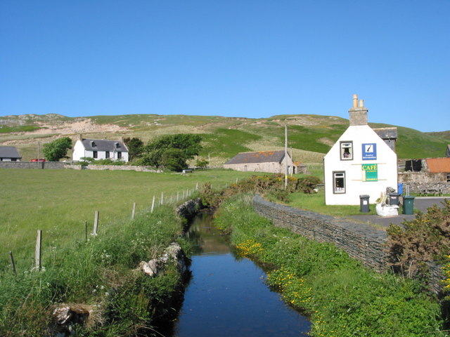
Swordly is a small village located in the picturesque region of Sutherland, Scotland. Situated amidst rolling hills and verdant landscapes, this charming settlement is known for its tranquil atmosphere and stunning natural beauty. With a population of around 200 people, Swordly exudes a sense of close-knit community and offers a serene escape from the hustle and bustle of city life.

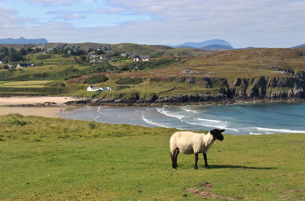
The village is characterized by its quaint cottages, many of which date back several centuries, adding a touch of historic charm to the area. The surrounding countryside provides endless opportunities for outdoor activities such as hiking, fishing, and wildlife spotting, making it a popular destination for nature enthusiasts.

Despite its small size, Swordly boasts a few amenities to cater to residents and visitors. The village is home to a cozy pub, where locals gather to enjoy a pint and engage in friendly conversation. Additionally, there is a small convenience store that meets the basic needs of the community.

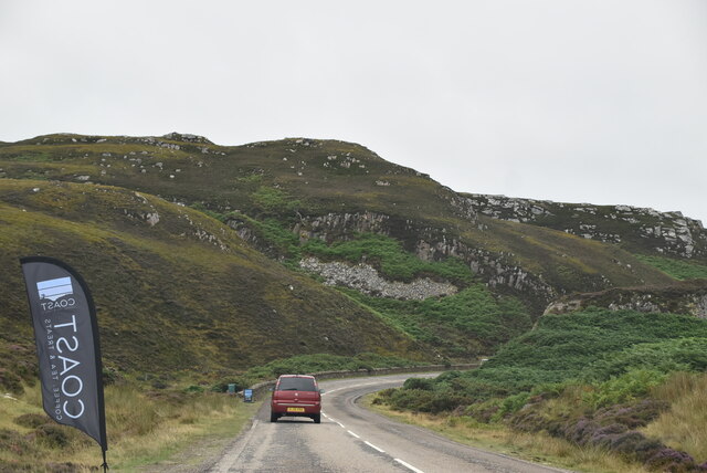
Swordly is also notable for its proximity to several landmarks and attractions in Sutherland. The nearby Dunrobin Castle, a grand stately home with beautiful gardens, is a must-visit for history buffs and architecture enthusiasts. Additionally, the village is situated close to stunning beaches, including Brora Beach, offering breathtaking views of the North Sea.

Overall, Swordly in Sutherland offers a peaceful and idyllic setting, perfect for those seeking a retreat in the heart of Scotland's natural splendor.

If you have any feedback on the listing, please let us know in the comments section below.

Swordly Images

Images are sourced within 2km of 58.536838/-4.176991 or Grid Reference NC7363. Thanks to Geograph Open Source API. All images are credited.

Kirtomy Bay
Kirtomy Bay
Phone Box at Kirtomy
Bettyhill View Point On the A836, East of Bettyhill, the view point offers excellent views across to Ben Loyal and Ben Hope and the sky line to the West. The interpretive boards help with identification of the peaks.
Bettyhill View Point
On the A836, East of Bettyhill, the view point offers excellent views across to Ben Loyal and Ben Hope and the sky line to the West. The interpretive boards help with identification of the peaks.
Loch Salachaidh - 1978 Loch Salachaidh, A836.
Loch Salachaidh - 1978
Loch Salachaidh, A836.
Old croft-house at Clerkhill
Cyclist on the A836 The cyclist shown here was one of 800 on this day who were completing a Lands End to John O'Groats cycle ride.  This final stretch of coast road provides a slightly undulating but not otherwise stressful end to several weeks of cycling.
Cyclist on the A836
The cyclist shown here was one of 800 on this day who were completing a Lands End to John O'Groats cycle ride. This final stretch of coast road provides a slightly undulating but not otherwise stressful end to several weeks of cycling.
The road to Swordly and Kirtomy
A836 heading east alongside Kirtomy Burn The double warning is appropriate!
A836 heading east alongside Kirtomy Burn
The double warning is appropriate!
Loch Salachaidh colours the moor
House near Swordly Burn For sale and being slowly engulfed by bracken at the time I was there in 1994.
House near Swordly Burn
For sale and being slowly engulfed by bracken at the time I was there in 1994.
Post Box and Bus Shelter Post Box KW14 58. Royal Mail list this box as 'Kirtomy Road End'.
Post Box and Bus Shelter
Post Box KW14 58. Royal Mail list this box as 'Kirtomy Road End'.
NC500 The A836 runs 122 miles from Dornoch Bridge to John O' Groats <a href="https://www.geograph.org.uk/photo/7086916">ND3872 : A836, John O' Groats</a>. Much of it is still single track.
<span class="nowrap"><a title="https://www.sabre-roads.org.uk/wiki/index.php?title=A836" rel="nofollow ugc noopener" href="https://www.sabre-roads.org.uk/wiki/index.php?title=A836">Link</a><img style="margin-left:2px;" alt="External link" title="External link - shift click to open in new window" src="https://s1.geograph.org.uk/img/external.png" width="10" height="10"/></span>
NC500
The A836 runs 122 miles from Dornoch Bridge to John O' Groats ND3872 : A836, John O' Groats. Much of it is still single track. LinkExternal link
Entering Bettyhill The A836 runs 122 miles from Dornoch Bridge to John O' Groats <a href="https://www.geograph.org.uk/photo/7086916">ND3872 : A836, John O' Groats</a>. Much of it is still single track.
<span class="nowrap"><a title="https://www.sabre-roads.org.uk/wiki/index.php?title=A836" rel="nofollow ugc noopener" href="https://www.sabre-roads.org.uk/wiki/index.php?title=A836">Link</a><img style="margin-left:2px;" alt="External link" title="External link - shift click to open in new window" src="https://s1.geograph.org.uk/img/external.png" width="10" height="10"/></span>
Entering Bettyhill
The A836 runs 122 miles from Dornoch Bridge to John O' Groats ND3872 : A836, John O' Groats. Much of it is still single track. LinkExternal link
Rough grazing above Clachan Burn Ben Loyal in the distance.
Rough grazing above Clachan Burn
Ben Loyal in the distance.
Loch Salachaidh By the A836.
Loch Salachaidh
By the A836.
Swordly Loch
Swordly Loch
Cyclists on the A836 Climbing up to the Bettyhill viewpoint
Cyclists on the A836
Climbing up to the Bettyhill viewpoint
Show me another place!

Swordly is located at Grid Ref: NC7363 (Lat: 58.536838, Lng: -4.176991)

Unitary Authority: Highland

Police Authority: Highlands and Islands

What 3 Words

///underline.pushy.oiled. Near Reay, Highland

Related Wikis

Swordly

Swordly (Scottish Gaelic: Suardailigh) is an extremely remote hamlet, located on the Bay of Swordly, on the north coastline of Scotland in Sutherland...

Farr, Sutherland

Farr (Scottish Gaelic: Fàrr) is a parish in the county of Sutherland in the Scottish council area of Highland. The parish also includes a small hamlet...

Crask

Crask is a small remote hamlet, situated on Farr Bay in the Scottish Highlands, on the shore of northern Sutherland in the Scottish council area of Highland...

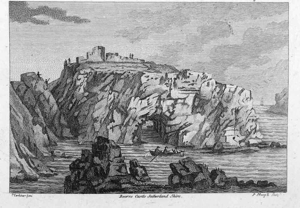
Borve Castle, Sutherland

Borve Castle in Sutherland, Scottish Highlands is now a ruin. Formerly called the House of Burro. It was built in Kirtomy Bay near the hamlet of Farr....
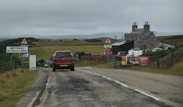
Strathnaver Museum

Strathnaver Museum is located in Bettyhill, Sutherland, Scotland. It is a fully accredited volunteer-run independent museum which first opened in 1976...
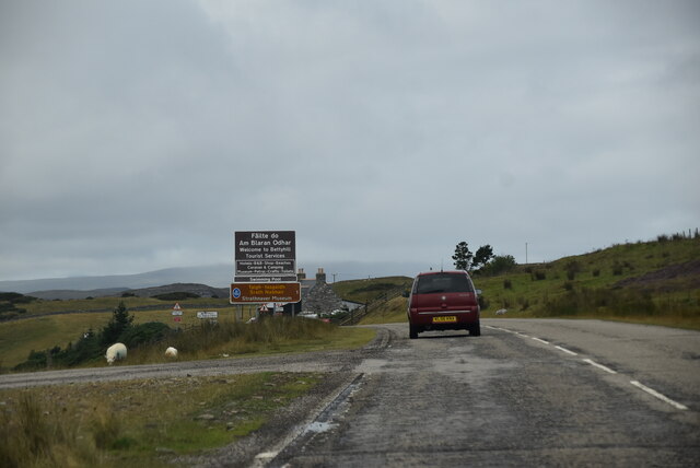
Bettyhill

Bettyhill (Scottish Gaelic: Am Blàran Odhar) is a village in the parish of Farr, on the north coast of Scotland.Bettyhill lies on the A836 road 32 miles...

Invernaver

Invernaver (Gaelic: Inbhir Nabhair) is a small, remote hamlet, situated on the west bank of the River Naver as it flows into Torrisdale Bay, in Sutherland...

Baile Mhargaite (Sandy Dun)

Baile Mhargaite (also known as Lochan Druim An Duin, the Sandy Dun, or Invernaver Broch) is an Iron Age broch in Strathnaver, Sutherland. It is a scheduled...

Nearby Amenities

Located within 500m of 58.536838,-4.176991
Power: pole
Lat/Long: 58.5353737/-4.1807933
Place: farm
Lat/Long: 58.5376053/-4.1732127
Place: farm
Lat/Long: 58.535016/-4.1762261
Place: farm
Lat/Long: 58.5361696/-4.177814
Place: farm
Lat/Long: 58.5357685/-4.1801663
Swordly
Name Gd: Suardailidh
Place: hamlet
Wikidata: Q2076881
Wikipedia: en:Swordly
Lat/Long: 58.537067/-4.1763904
Power: pole
Lat/Long: 58.5365697/-4.1773651
Power: pole
Lat/Long: 58.5365331/-4.1772697
Power: pole
Lat/Long: 58.5363756/-4.1769173
Power: pole
Lat/Long: 58.5362171/-4.1765397
Power: pole
Lat/Long: 58.5357537/-4.1755079
Power: pole
Lat/Long: 58.5357994/-4.1741588
Power: pole
Lat/Long: 58.5358147/-4.1732886
Power: pole
Lat/Long: 58.5358365/-4.1723688
Power: pole
Lat/Long: 58.5355962/-4.1709039
Power: pole
Lat/Long: 58.5353036/-4.1691577
Power: pole
Lat/Long: 58.5363948/-4.1849637
Power: pole
Lat/Long: 58.5357024/-4.1776597
Ford: stepping_stones
Lat/Long: 58.5339619/-4.1704971
Ford: yes
Lat/Long: 58.5340255/-4.1704531
Ford: yes
Lat/Long: 58.535499/-4.1829483
The data included in this document is from www.openstreetmap.org. The data is made available under ODbL.

Have you been to Swordly?

Leave your review of Swordly below (or comments, questions and feedback).