Lôn-las

Settlement in Glamorgan

Wales

Lôn-las

Ordnance Survey Cut Mark This OS cut mark can be found on the concrete retaining wall north side of Drumau Road. It marks a point 101.675m above mean sea level.
Ordnance Survey Cut Mark Credit: Adrian Dust

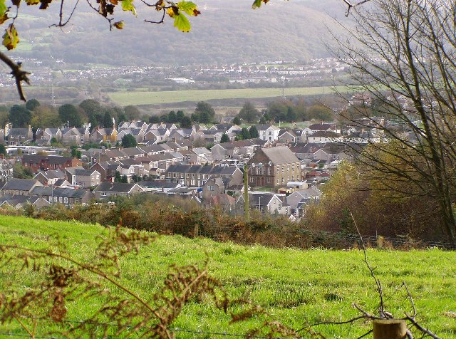
Lôn-las is a picturesque village located in the county of Glamorgan, Wales. Situated in the southern part of the country, the village is known for its stunning natural beauty and rich history. Lôn-las is surrounded by rolling hills, lush green fields, and dense forests, making it a paradise for nature lovers and outdoor enthusiasts.

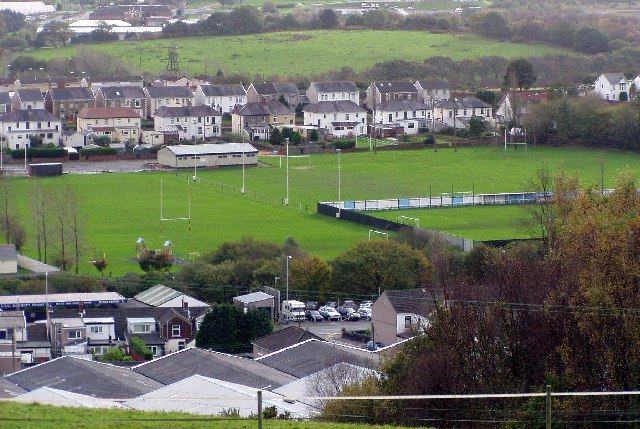
The village itself is small but charming, with traditional stone houses and a close-knit community. It has a population of approximately 500 residents, who take pride in preserving the village's heritage and maintaining its peaceful atmosphere. Lôn-las has a strong sense of community spirit, with regular events and activities organized by local residents to bring people together.

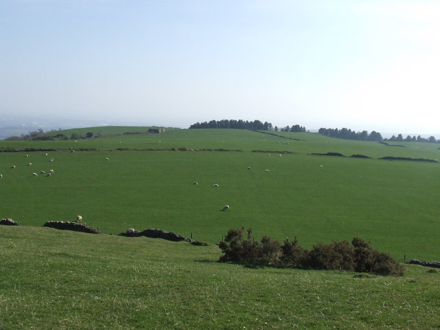
One of the highlights of Lôn-las is its proximity to breathtaking natural landmarks. The village is located near the Glamorgan Heritage Coast, which boasts stunning cliffs, sandy beaches, and panoramic views of the sea. It is also close to several nature reserves, offering opportunities for hiking, birdwatching, and wildlife spotting.

The history of Lôn-las dates back centuries, with evidence of human settlement in the area since prehistoric times. The village is home to several historic sites, including a medieval church and a well-preserved castle ruins. These landmarks serve as a reminder of the village's past and attract history enthusiasts from far and wide.

Overall, Lôn-las is a peaceful and idyllic village that showcases the natural beauty and rich history of Glamorgan. Whether it's exploring the stunning landscapes, immersing oneself in the local community, or delving into the village's captivating history, Lôn-las offers a truly authentic and enriching experience.

If you have any feedback on the listing, please let us know in the comments section below.
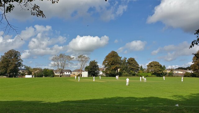
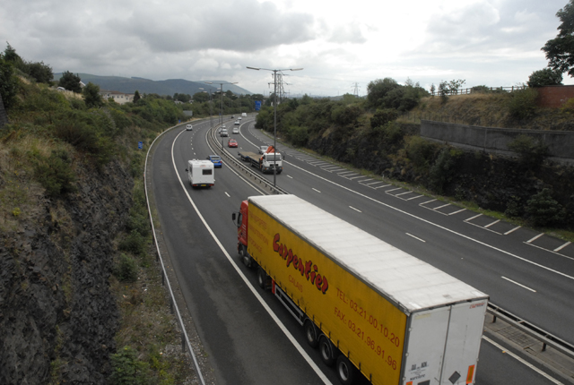
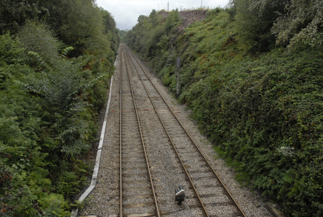
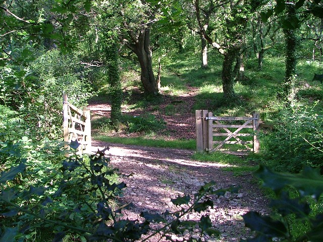
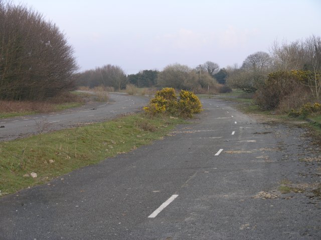
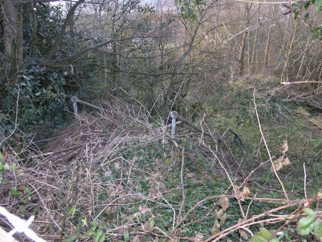
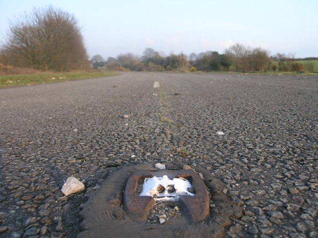
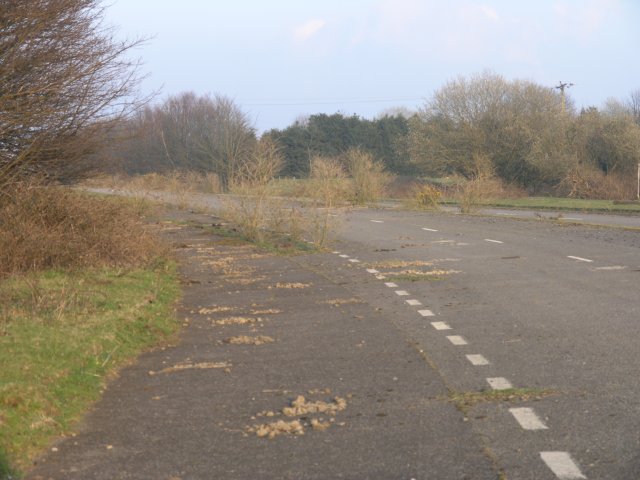
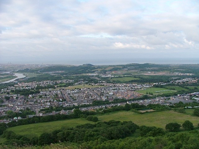
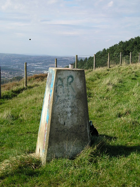
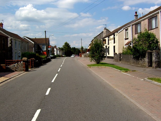
Lôn-las Images

Images are sourced within 2km of 51.661618/-3.874768 or Grid Reference SS7197. Thanks to Geograph Open Source API. All images are credited.

Ordnance Survey Cut Mark This OS cut mark can be found on the concrete retaining wall north side of Drumau Road. It marks a point 101.675m above mean sea level.
Ordnance Survey Cut Mark
This OS cut mark can be found on the concrete retaining wall north side of Drumau Road. It marks a point 101.675m above mean sea level.
Ordnance Survey Cut Mark This OS cut mark can be found on the wall south side of Drumau Road. It marks a point 105.153m above mean sea level.
Ordnance Survey Cut Mark
This OS cut mark can be found on the wall south side of Drumau Road. It marks a point 105.153m above mean sea level.
Gateway High in Hedge
Gateway at Glyn-derwen
Heol Las Park, Birchgrove, Swansea
Skewen View from the north west
Skewen
View from the north west
Playing fields, Skewen. View from the north.
Playing fields, Skewen.
View from the north.
M4 Motorway at Skewen near Junction 43
Railway cutting near Skewen
Woodland Path The path starts at Drumau Road, goes through Darren Wood to the top of Drumau Mountain.
Woodland Path
The path starts at Drumau Road, goes through Darren Wood to the top of Drumau Mountain.
Abandoned section of the A48 Once part of the trunk route from London to South Wales, this 500m section of the A48 has been handed back for farm use since the M4 opened (running just parallel) in the early 1990s. On the corner, two petrol stations, long since stripped of their pumps and kiosks now have trees growing through the tarmac where once impatient drivers would pull up to fill up.

The farmer told me that they were given the land when a similar sized tract of land was taken from them for the building of the M4.  He also asked me to mention that despite being listed on all ordnance survey maps as such, there is absolutely NO right of way through this stretch any more.  Apparently a footpath used to run down their lane and then under this road via a route taken by an abandoned railway.  There's little evidence of the footpath today apart from an old staircase completely encased in vegetation (I'd have missed it if he hadn't shown it to me). 

I have since confirmed that the map is incorrect by checking the council's definitive map - the public right of way to this location appears to have been revoked when the motorway was built and never reinstated.

Since this picture was taken, the area has undergone redevelopment and over half of this abandoned road is currently being converted into housing.
Abandoned section of the A48
Once part of the trunk route from London to South Wales, this 500m section of the A48 has been handed back for farm use since the M4 opened (running just parallel) in the early 1990s. On the corner, two petrol stations, long since stripped of their pumps and kiosks now have trees growing through the tarmac where once impatient drivers would pull up to fill up. The farmer told me that they were given the land when a similar sized tract of land was taken from them for the building of the M4. He also asked me to mention that despite being listed on all ordnance survey maps as such, there is absolutely NO right of way through this stretch any more. Apparently a footpath used to run down their lane and then under this road via a route taken by an abandoned railway. There's little evidence of the footpath today apart from an old staircase completely encased in vegetation (I'd have missed it if he hadn't shown it to me). I have since confirmed that the map is incorrect by checking the council's definitive map - the public right of way to this location appears to have been revoked when the motorway was built and never reinstated. Since this picture was taken, the area has undergone redevelopment and over half of this abandoned road is currently being converted into housing.
Public footpath?! Marked on an OS map, this staircase (with barely visible handrails) is where things go pear-shaped if you're intent on following this public footpath that's marked on current maps. I must admit I didn't see the weed covered hand rails at first because of the BARBED WIRE fence in front.

Still - if I'd have continued on the original route, the M4 motorway would have soon put a stop to my tracks.

I was told by the land owner after a rather uncomfortable discussion as to why I was there in the first place that this path had been discontinued when the M4 opened in the early 1990s, which begs the question as to why it's still on current maps.
Public footpath?!
Marked on an OS map, this staircase (with barely visible handrails) is where things go pear-shaped if you're intent on following this public footpath that's marked on current maps. I must admit I didn't see the weed covered hand rails at first because of the BARBED WIRE fence in front. Still - if I'd have continued on the original route, the M4 motorway would have soon put a stop to my tracks. I was told by the land owner after a rather uncomfortable discussion as to why I was there in the first place that this path had been discontinued when the M4 opened in the early 1990s, which begs the question as to why it's still on current maps.
Disused cats-eye On a stretch of road that's been unused for over 15 years, road lines and indeed the features to allow drivers to navigate at night are still in place at this location.
Disused cats-eye
On a stretch of road that's been unused for over 15 years, road lines and indeed the features to allow drivers to navigate at night are still in place at this location.
Disused sliproad This sliproad used to lead to a petrol station.  Since then the M4 took over the role of A48 and the A48 was rerouted and this stretch of road was abandoned and ignored!
Disused sliproad
This sliproad used to lead to a petrol station. Since then the M4 took over the role of A48 and the A48 was rerouted and this stretch of road was abandoned and ignored!
Skewen The largest village in Wales
Skewen
The largest village in Wales
Top of Mynydd Drumau -looking towards Swansea
OS Trig Point above Skewen This photo was taken on a sunny autumn's morning in 2004. The camera is pointing westwards. Great view from this location.
OS Trig Point above Skewen
This photo was taken on a sunny autumn's morning in 2004. The camera is pointing westwards. Great view from this location.
Birchgrove near Swansea Looking north-northwest along the B4291 at Birchgrove, with the post office (sadly, now closed) on the left and the Crown Inn on the right.
Birchgrove near Swansea
Looking north-northwest along the B4291 at Birchgrove, with the post office (sadly, now closed) on the left and the Crown Inn on the right.
Show me another place!

Lôn-las is located at Grid Ref: SS7197 (Lat: 51.661618, Lng: -3.874768)

Unitary Authority: Swansea

Police Authority: South Wales

Also known as: Lon-las

What 3 Words

///repayment.distract.crackling. Near Clydach, Swansea

Related Wikis

Llansamlet railway station

Llansamlet railway station is a minor station in Llansamlet, Swansea, south Wales. The station is located below street level at Frederick Place in Peniel...

Birchgrove, Swansea

Birchgrove (Welsh: Y Gellifedw) is a suburb and community in Swansea, Wales, United Kingdom. It is situated about 4.5 miles (7 km) north-east of Swansea...

Llansamlet railway station (MR)

Llansamlet railway station served the suburb of Llansamlet, in the historical county of Glamorganshire, Wales, from 1860 to 1875 on the Swansea Vale Railway...

Felin Fran Halt railway station

Felin Fran Halt railway station co-served the area of Llansamlet, in the historical county of Glamorganshire, Wales, from 1922 to 1956 on the Swansea District...

Nearby Amenities

Located within 500m of 51.661618,-3.874768
Motorway Junction
Lôn-las
Exit To: A48 Swansea East
Layer: 2
Ref: 44
Lat/Long: 51.6601848/-3.8753467
Bus Stop
Birchgrove Stores (N)
Bus: yes
Naptan AtcoCode: 5810AWC52223
Naptan Bearing: N
Naptan CommonName: Birchgrove Stores (N)
Naptan Crossing: Trewen Road
Naptan NaptanCode: swadagm
Naptan Street: Birchgrove Road
Naptan Verified: no
Public Transport: platform
Source: naptan_import
Lat/Long: 51.6647733/-3.8741342
Bus Stop
Birchgrove Stores (S)
Bus: yes
Naptan AtcoCode: 5810AWC52225
Naptan Bearing: S
Naptan CommonName: Birchgrove Stores (S)
Naptan Crossing: Parc-yr-helig Road
Naptan NaptanCode: swadagp
Naptan Street: Birchgrove Road
Naptan Verified: no
Public Transport: platform
Source: naptan_import
Lat/Long: 51.6644154/-3.8740182
Bus Stop
Lon-las PO (NW)
Bus: yes
Naptan AtcoCode: 5810AWC52226
Naptan Bearing: W
Naptan CommonName: Lon-las PO (NW)
Naptan Crossing: Back Drive
Naptan Landmark: Bowens Arms PH
Naptan NaptanCode: swagwgp
Naptan PlusbusZoneRef: NEATH
Naptan ShortCommonName: Bowens Arms
Naptan Street: Birchgrove Road
Naptan Verified: no
Public Transport: platform
Source: naptan_import
Lat/Long: 51.6592128/-3.8698129
Bus Stop
Lon-las PO (SE)
Bus: yes
Naptan AtcoCode: 5810AWC52227
Naptan Bearing: SE
Naptan CommonName: Lon-las PO (SE)
Naptan Crossing: Back Drive
Naptan Landmark: Bowens Arms PH
Naptan NaptanCode: swagwgt
Naptan PlusbusZoneRef: NEATH
Naptan ShortCommonName: Bowens Arms
Naptan Street: Birchgrove Road
Naptan Verified: no
Public Transport: platform
Source: naptan_import
Lat/Long: 51.6592976/-3.8695706
Bus Stop
Bowens Arms
Bus: yes
Naptan AtcoCode: 5810AWC52228
Naptan Bearing: SE
Naptan CommonName: Bowens Arms (SE)
Naptan Crossing: Birchgrove Road
Naptan Landmark: Bowens Arms PH
Naptan NaptanCode: swagwgw
Naptan PlusbusZoneRef: NEATH
Naptan Street: Peniel Green Road
Naptan Verified: no
Public Transport: platform
Source: naptan_import
Lat/Long: 51.6593216/-3.8708873
Bus Stop
Bowens Arms
Bus: yes
Naptan AtcoCode: 5810AWC52229
Naptan Bearing: NW
Naptan CommonName: Bowens Arms (NW)
Naptan Crossing: Birchgrove Road
Naptan Landmark: Bowens Arms PH
Naptan NaptanCode: swagwja
Naptan PlusbusZoneRef: SWANSEA
Naptan Street: Peniel Green Road
Naptan Verified: no
Public Transport: platform
Source: naptan_import
Lat/Long: 51.6593784/-3.8718908
Bus Stop
Peniel Green Roundabout
Bus: yes
Naptan AtcoCode: 5810AWC52230
Naptan Bearing: NW
Naptan CommonName: Peniel Green Roundabout (NW)
Naptan NaptanCode: swapdjw
Naptan PlusbusZoneRef: SWANSEA
Naptan Street: Peniel Green Road
Naptan Verified: no
Public Transport: platform
Source: naptan_import
Lat/Long: 51.6612129/-3.8762178
Bus Stop
Peniel Green Roundabout
Bus: yes
Naptan AtcoCode: 5810AWC52231
Naptan Bearing: SE
Naptan CommonName: Peniel Green Roundabout (SE)
Naptan NaptanCode: swapdma
Naptan PlusbusZoneRef: SWANSEA
Naptan Street: Peniel Green Road
Naptan Verified: no
Physically Present: no
Public Transport: platform
Source: naptan_import
Lat/Long: 51.6612979/-3.8760874
Bus Stop
Peniel Green East (NW)
Bus: yes
Naptan AtcoCode: 5810AWC52232
Naptan Bearing: NW
Naptan CommonName: Peniel Green East (NW)
Naptan NaptanCode: swadajt
Naptan PlusbusZoneRef: SWANSEA
Naptan Street: Peniel Green Road
Naptan Verified: no
Public Transport: platform
Source: naptan_import
Lat/Long: 51.66229/-3.8798445
Bus Stop
Peniel Green East (SE)
Bus: yes
Naptan AtcoCode: 5810AWC52233
Naptan Bearing: SE
Naptan CommonName: Peniel Green East (SE)
Naptan NaptanCode: swadajw
Naptan PlusbusZoneRef: SWANSEA
Naptan Street: Peniel Green Road
Naptan Verified: no
Public Transport: platform
Source: naptan_import
Lat/Long: 51.6624918/-3.8807204
Power: tower
Lat/Long: 51.6629873/-3.8788768
Power: tower
Lat/Long: 51.6594905/-3.8809215
Power: tower
Lat/Long: 51.6607936/-3.8767734
Power: tower
Lat/Long: 51.6617902/-3.8802271
Power: tower
Lat/Long: 51.6588798/-3.87396
Power: tower
Lat/Long: 51.6629816/-3.8798825
Lonlas Junction
Railway: junction
Lat/Long: 51.657913/-3.8751054
Power: tower
Lat/Long: 51.6633121/-3.8797877
Peniel Green Roundabout
Bus: yes
Public Transport: stop_position
Lat/Long: 51.6612588/-3.8761455
Bus: yes
Public Transport: stop_position
Lat/Long: 51.66246/-3.8807271
Bowens Arms
Bus: yes
Public Transport: stop_position
Lat/Long: 51.6592637/-3.8709173
Street Lamp
Lamp Model: Philips MA60
Lamp Type: low_pressure_sodium
Light Count: 2
Light Power: 180
Source: Mapillary (2019-03-21)
Lat/Long: 51.6589627/-3.8709893
Street Lamp
Lamp Model: Philips MA60
Lamp Type: low_pressure_sodium
Light Count: 2
Light Power: 180
Source: Mapillary (2019-03-21)
Lat/Long: 51.6590437/-3.8715362
Street Lamp
Lamp Model: Philips MA60
Lamp Type: low_pressure_sodium
Light Count: 2
Light Power: 180
Source: Mapillary (2019-03-21)
Lat/Long: 51.6591414/-3.8721012
Street Lamp
Lamp Model: Philips MA60
Lamp Type: low_pressure_sodium
Light Count: 2
Light Power: 180
Source: Mapillary (2019-03-21)
Lat/Long: 51.6592501/-3.8726045
Street Lamp
Lamp Model: Philips MA60
Lamp Type: low_pressure_sodium
Light Count: 2
Light Power: 180
Source: Mapillary (2019-03-21)
Lat/Long: 51.6593894/-3.8731404
Street Lamp
Lamp Model: Philips MA60
Lamp Type: low_pressure_sodium
Light Count: 2
Light Power: 180
Source: Mapillary (2019-03-21)
Lat/Long: 51.6595432/-3.8736333
Street Lamp
Lamp Model: Philips MA60
Lamp Type: low_pressure_sodium
Light Count: 2
Light Power: 180
Source: Mapillary (2019-03-21)
Lat/Long: 51.6597418/-3.8741724
Street Lamp
Lamp Model: Philips MA60
Lamp Type: low_pressure_sodium
Light Count: 2
Light Power: 180
Source: Mapillary (2019-03-21)
Lat/Long: 51.6599481/-3.874668
Street Lamp
Lamp Model: Philips MA60
Lamp Type: low_pressure_sodium
Light Count: 2
Light Power: 180
Source: Mapillary (2019-03-21)
Lat/Long: 51.6601764/-3.8751286
Street Lamp
Lamp Model: Philips MA60
Lamp Type: low_pressure_sodium
Light Count: 2
Light Power: 180
Source: Mapillary (2019-03-21)
Lat/Long: 51.6604067/-3.8755466
Street Lamp
Lamp Model: Philips MA60
Lamp Type: low_pressure_sodium
Light Count: 2
Light Power: 180
Source: Mapillary (2019-03-21)
Lat/Long: 51.6588897/-3.8704108
Street Lamp
Lamp Model: Philips MA60
Lamp Type: low_pressure_sodium
Light Count: 2
Light Power: 180
Source: Mapillary (2019-03-21)
Lat/Long: 51.658822/-3.8698258
Street Lamp
Lamp Model: Philips MA60
Lamp Type: low_pressure_sodium
Light Count: 2
Light Power: 180
Source: Mapillary (2019-03-21)
Lat/Long: 51.6587519/-3.8692421
Street Lamp
Lamp Model: Philips MA60
Lamp Type: low_pressure_sodium
Light Count: 2
Light Power: 180
Source: Mapillary (2019-03-21)
Lat/Long: 51.660637/-3.8759155
Street Lamp
Lamp Model: Philips MA60
Lamp Type: low_pressure_sodium
Light Count: 2
Light Power: 180
Source: Mapillary (2019-03-21)
Lat/Long: 51.6609353/-3.8763218
Street Lamp
Lamp Model: Philips MA60
Lamp Type: low_pressure_sodium
Light Count: 2
Light Power: 180
Source: Mapillary (2019-03-21)
Lat/Long: 51.6612178/-3.8766744
Street Lamp
Lamp Model: Philips MA60
Lamp Type: low_pressure_sodium
Light Count: 2
Light Power: 180
Source: Mapillary (2019-03-21)
Lat/Long: 51.6615017/-3.8769989
Street Lamp
Lamp Model: Philips MA60
Lamp Type: low_pressure_sodium
Light Count: 2
Light Power: 180
Source: Mapillary (2019-03-21)
Lat/Long: 51.6617682/-3.8772675
Street Lamp
Lamp Model: Philips MA60
Lamp Type: low_pressure_sodium
Light Count: 2
Light Power: 180
Source: Mapillary (2019-03-21)
Lat/Long: 51.6620709/-3.877564
Street Lamp
Lamp Model: Philips MA60
Lamp Type: low_pressure_sodium
Light Count: 2
Light Power: 180
Source: Mapillary (2019-03-21)
Lat/Long: 51.66232/-3.8777998
Street Lamp
Lamp Model: Philips MA60
Lamp Type: low_pressure_sodium
Light Count: 2
Light Power: 180
Source: Mapillary (2019-03-21)
Lat/Long: 51.6625749/-3.8780567
Street Lamp
Lamp Model: Philips MA60
Lamp Type: low_pressure_sodium
Light Count: 2
Light Power: 180
Source: Mapillary (2019-03-21)
Lat/Long: 51.6628776/-3.8783392
Street Lamp
Lamp Model: Philips MA60
Lamp Type: low_pressure_sodium
Light Count: 2
Light Power: 180
Source: Mapillary (2019-03-21)
Lat/Long: 51.6631673/-3.8786171
Street Lamp
Lamp Model: Philips MA60
Lamp Type: low_pressure_sodium
Light Count: 2
Light Power: 180
Source: Mapillary (2019-03-21)
Lat/Long: 51.6634758/-3.8789276
Street Lamp
Lamp Model: Philips MA60
Lamp Type: low_pressure_sodium
Light Count: 2
Light Power: 180
Source: Mapillary (2019-03-21)
Lat/Long: 51.6637554/-3.8792359
Street Lamp
Lamp Model: Philips MA60
Lamp Type: low_pressure_sodium
Light Count: 2
Light Power: 180
Source: Mapillary (2019-03-21)
Lat/Long: 51.6640489/-3.8795703
Street Lamp
Lamp Model: Philips MA60
Lamp Type: low_pressure_sodium
Light Count: 2
Light Power: 180
Source: Mapillary (2019-03-21)
Lat/Long: 51.6643078/-3.8798923
Street Lamp
Lamp Model: Philips MA60
Lamp Type: low_pressure_sodium
Light Count: 2
Light Power: 180
Source: Mapillary (2019-03-21)
Lat/Long: 51.6645565/-3.8802403
Street Lamp
Lamp Model: Philips MA60
Lamp Type: low_pressure_sodium
Light Count: 1
Light Power: 180
Source: Mapillary (2019-03-21)
Lat/Long: 51.6638316/-3.8800986
Street Lamp
Lamp Model: Philips MA60
Lamp Type: low_pressure_sodium
Light Count: 1
Light Power: 180
Source: Mapillary (2019-03-21)
Lat/Long: 51.6642011/-3.8804367
Street Lamp
Lamp Model: Philips MA50
Lamp Type: low_pressure_sodium
Light Count: 1
Light Power: 135
Source: Mapillary (2019-03-21)
Lat/Long: 51.6630048/-3.8780199
Street Lamp
Lamp Model: Philips MA60
Lamp Type: low_pressure_sodium
Light Count: 1
Light Power: 180
Source: Mapillary (2019-03-21)
Lat/Long: 51.6639115/-3.8787762
Street Lamp
Lamp Model: Philips MA60
Lamp Type: low_pressure_sodium
Light Count: 1
Light Power: 180
Source: Mapillary (2019-03-21)
Lat/Long: 51.6645003/-3.8795138
Street Lamp
Lamp Model: Philips MA60
Lamp Type: low_pressure_sodium
Light Count: 1
Light Power: 180
Source: Mapillary (2019-03-21)
Lat/Long: 51.6632958/-3.8782559
Street Lamp
Lamp Model: Philips MA60
Lamp Type: low_pressure_sodium
Light Count: 1
Light Power: 180
Source: Mapillary (2019-03-21)
Lat/Long: 51.6635787/-3.8784892
Street Lamp
Lamp Model: Philips MA60
Lamp Type: low_pressure_sodium
Light Count: 1
Light Power: 180
Source: Mapillary (2019-03-21)
Lat/Long: 51.66476/-3.879943
Street Lamp
Lamp Model: Philips MA60
Lamp Type: low_pressure_sodium
Light Count: 1
Light Power: 180
Source: Mapillary (2019-03-21)
Lat/Long: 51.6642159/-3.8791276
Street Lamp
Lamp Model: Philips MA50
Lamp Type: low_pressure_sodium
Light Count: 1
Light Power: 135
Source: Mapillary (2019-03-21)
Lat/Long: 51.6621695/-3.8771452
Street Lamp
Lamp Model: Philips MA90
Lamp Type: low_pressure_sodium
Light Count: 1
Light Power: 90
Source: Mapillary (2019-03-21)
Lat/Long: 51.6624373/-3.877341
Street Lamp
Lamp Model: Philips MA50
Lamp Type: low_pressure_sodium
Light Count: 1
Light Power: 135
Source: Mapillary (2019-03-21)
Lat/Long: 51.661909/-3.8769702
Street Lamp
Lamp Model: Philips MA60
Lamp Type: low_pressure_sodium
Light Count: 1
Light Power: 180
Source: Mapillary (2019-03-21)
Lat/Long: 51.6606438/-3.8755654
Street Lamp
Lamp Model: Philips MA60
Lamp Type: low_pressure_sodium
Light Count: 1
Light Power: 180
Source: Mapillary (2019-03-21)
Lat/Long: 51.6597353/-3.8737873
Street Lamp
Lamp Model: Philips MA60
Lamp Type: low_pressure_sodium
Light Count: 1
Light Power: 180
Source: Mapillary (2019-03-21)
Lat/Long: 51.6604159/-3.8752035
Street Lamp
Lamp Model: Philips MA60
Lamp Type: low_pressure_sodium
Light Count: 1
Light Power: 180
Source: Mapillary (2019-03-21)
Lat/Long: 51.6609017/-3.8759355
Street Lamp
Lamp Model: Philips MA60
Lamp Type: low_pressure_sodium
Light Count: 1
Light Power: 180
Source: Mapillary (2019-03-21)
Lat/Long: 51.6614058/-3.8765363
Street Lamp
Lamp Model: Philips MA60
Lamp Type: low_pressure_sodium
Light Count: 1
Light Power: 180
Source: Mapillary (2019-03-21)
Lat/Long: 51.6616587/-3.8767777
Street Lamp
Lamp Model: Philips MA60
Lamp Type: low_pressure_sodium
Light Count: 1
Light Power: 180
Source: Mapillary (2019-03-21)
Lat/Long: 51.6611628/-3.8762547
Street Lamp
Lamp Model: Philips MA60
Lamp Type: low_pressure_sodium
Light Count: 1
Light Power: 180
Source: Mapillary (2019-03-21)
Lat/Long: 51.6599848/-3.8743718
Street Lamp
Lamp Model: Philips MA60
Lamp Type: low_pressure_sodium
Light Count: 1
Light Power: 180
Source: Mapillary (2019-03-21)
Lat/Long: 51.6602078/-3.8748224
Street Lamp
Lamp Model: Philips MA60
Lamp Type: low_pressure_sodium
Light Count: 1
Light Power: 180
Source: Mapillary (2019-03-21)
Lat/Long: 51.6609084/-3.8766868
Street Lamp
Lamp Model: Philips MA60
Lamp Type: low_pressure_sodium
Light Count: 1
Light Power: 180
Source: Mapillary (2019-03-21)
Lat/Long: 51.659732/-3.8745464
Street Lamp
Lamp Model: Philips MA60
Lamp Type: low_pressure_sodium
Light Count: 1
Light Power: 180
Source: Mapillary (2019-03-21)
Lat/Long: 51.6601679/-3.8754852
Street Lamp
Lamp Model: Philips MA60
Lamp Type: low_pressure_sodium
Light Count: 1
Light Power: 180
Source: Mapillary (2019-03-21)
Lat/Long: 51.6606538/-3.8763032
Street Lamp
Lamp Model: Philips MA60
Lamp Type: low_pressure_sodium
Light Count: 1
Light Power: 180
Source: Mapillary (2019-03-21)
Lat/Long: 51.659935/-3.8750346
Street Lamp
Lamp Model: Philips MA60
Lamp Type: low_pressure_sodium
Light Count: 1
Light Power: 180
Source: Mapillary (2019-03-21)
Lat/Long: 51.6611813/-3.8770864
Street Lamp
Lamp Model: Philips MA60
Lamp Type: low_pressure_sodium
Light Count: 1
Light Power: 180
Source: Mapillary (2019-03-21)
Lat/Long: 51.6604059/-3.8759116
Street Lamp
Lamp Model: Philips MA50
Lamp Type: low_pressure_sodium
Light Count: 1
Light Power: 135
Source: Mapillary (2019-03-21)
Lat/Long: 51.6614191/-3.8773574
Direction: 235
Generator Method: photovoltaic
Generator Output Electricity: yes
Generator Solar Modules: 11
Generator Source: solar
Generator Type: solar_photovoltaic_panel
Location: roof
Power: generator
Lat/Long: 51.6644454/-3.8753213
Direction: 280
Generator Method: photovoltaic
Generator Output Electricity: yes
Generator Solar Modules: 8
Generator Source: solar
Generator Type: solar_photovoltaic_panel
Location: roof
Power: generator
Lat/Long: 51.6660159/-3.8751188
Direction: 100
Generator Method: photovoltaic
Generator Output Electricity: yes
Generator Solar Modules: 8
Generator Source: solar
Generator Type: solar_photovoltaic_panel
Location: roof
Power: generator
Lat/Long: 51.6660122/-3.8750799
Direction: 280
Generator Method: photovoltaic
Generator Output Electricity: yes
Generator Solar Modules: 8
Generator Source: solar
Generator Type: solar_photovoltaic_panel
Location: roof
Power: generator
Lat/Long: 51.6653871/-3.8753146
Direction: 100
Generator Method: photovoltaic
Generator Output Electricity: yes
Generator Solar Modules: 8
Generator Source: solar
Generator Type: solar_photovoltaic_panel
Location: roof
Power: generator
Lat/Long: 51.6653962/-3.875264
Direction: 145
Generator Method: photovoltaic
Generator Output Electricity: yes
Generator Solar Modules: 16
Generator Source: solar
Generator Type: solar_photovoltaic_panel
Location: roof
Power: generator
Lat/Long: 51.664456/-3.8698506
Direction: ESE
Generator Method: photovoltaic
Generator Output Electricity: yes
Generator Solar Modules: 14
Generator Source: solar
Generator Type: solar_photovoltaic_panel
Location: roof
Power: generator
Lat/Long: 51.6617454/-3.8675992
Direction: SE
Generator Method: photovoltaic
Generator Output Electricity: yes
Generator Solar Modules: 16
Generator Source: solar
Generator Type: solar_photovoltaic_panel
Location: roof
Power: generator
Lat/Long: 51.6639954/-3.8769906
Direction: 195
Generator Method: photovoltaic
Generator Output Electricity: yes
Generator Solar Modules: 16
Generator Source: solar
Generator Type: solar_photovoltaic_panel
Location: roof
Power: generator
Lat/Long: 51.6640249/-3.8765384
Direction: 185
Generator Method: photovoltaic
Generator Output Electricity: yes
Generator Solar Modules: 5
Generator Source: solar
Generator Type: solar_photovoltaic_panel
Location: roof
Power: generator
Lat/Long: 51.6648125/-3.8771003
Direction: 185
Generator Method: photovoltaic
Generator Output Electricity: yes
Generator Solar Modules: 14
Generator Source: solar
Generator Type: solar_photovoltaic_panel
Location: roof
Power: generator
Lat/Long: 51.6644797/-3.8770654
Direction: SSE
Generator Method: photovoltaic
Generator Output Electricity: yes
Generator Solar Modules: 13
Generator Source: solar
Generator Type: solar_photovoltaic_panel
Location: roof
Power: generator
Lat/Long: 51.6635757/-3.872332
Direction: 235
Generator Method: photovoltaic
Generator Output Electricity: yes
Generator Solar Modules: 14
Generator Source: solar
Generator Type: solar_photovoltaic_panel
Location: roof
Power: generator
Lat/Long: 51.6643342/-3.8705607
Direction: 85
Generator Method: photovoltaic
Generator Output Electricity: yes
Generator Solar Modules: 13
Generator Source: solar
Generator Type: solar_photovoltaic_panel
Location: roof
Power: generator
Lat/Long: 51.662424/-3.8729392
Direction: 175
Generator Method: photovoltaic
Generator Output Electricity: yes
Generator Solar Modules: 10
Generator Source: solar
Generator Type: solar_photovoltaic_panel
Location: roof
Power: generator
Lat/Long: 51.6624654/-3.8730585
Direction: 260
Generator Method: photovoltaic
Generator Output Electricity: yes
Generator Solar Modules: 8
Generator Source: solar
Generator Type: solar_photovoltaic_panel
Location: roof
Power: generator
Lat/Long: 51.6611862/-3.8734424
Direction: 170
Generator Method: photovoltaic
Generator Output Electricity: yes
Generator Solar Modules: 8
Generator Source: solar
Generator Type: solar_photovoltaic_panel
Location: roof
Power: generator
Lat/Long: 51.6611722/-3.8733412
Direction: 185
Generator Method: photovoltaic
Generator Output Electricity: yes
Generator Solar Modules: 16
Generator Source: solar
Generator Type: solar_photovoltaic_panel
Location: roof
Power: generator
Lat/Long: 51.6574212/-3.8768602
Direction: S
Generator Method: photovoltaic
Generator Output Electricity: yes
Generator Solar Modules: 16
Generator Source: solar
Generator Type: solar_photovoltaic_panel
Location: roof
Note: small form factor
Power: generator
Lat/Long: 51.6581176/-3.8772317
Direction: 175
Generator Method: photovoltaic
Generator Output Electricity: yes
Generator Solar Modules: 14
Generator Source: solar
Generator Type: solar_photovoltaic_panel
Location: roof
Power: generator
Lat/Long: 51.6578434/-3.8767093
Direction: 175
Generator Method: photovoltaic
Generator Output Electricity: yes
Generator Solar Modules: 8
Generator Source: solar
Generator Type: solar_photovoltaic_panel
Location: roof
Power: generator
Lat/Long: 51.6592428/-3.8807702
Direction: 175
Generator Method: photovoltaic
Generator Output Electricity: yes
Generator Solar Modules: 4
Generator Source: solar
Generator Type: solar_photovoltaic_panel
Location: roof
Power: generator
Lat/Long: 51.6592162/-3.8808936
Direction: ESE
Generator Method: photovoltaic
Generator Output Electricity: yes
Generator Solar Modules: 6
Generator Source: solar
Generator Type: solar_photovoltaic_panel
Location: roof
Power: generator
Lat/Long: 51.6617356/-3.8780374
Direction: WNW
Generator Method: photovoltaic
Generator Output Electricity: yes
Generator Solar Modules: 10
Generator Source: solar
Generator Type: solar_photovoltaic_panel
Location: roof
Power: generator
Lat/Long: 51.6617645/-3.8780924
Direction: 175
Generator Method: photovoltaic
Generator Output Electricity: yes
Generator Solar Modules: 8
Generator Source: solar
Generator Type: solar_photovoltaic_panel
Location: roof
Power: generator
Lat/Long: 51.6626187/-3.8804323
Direction: 85
Generator Method: photovoltaic
Generator Output Electricity: yes
Generator Solar Modules: 14
Generator Source: solar
Generator Type: solar_photovoltaic_panel
Location: roof
Power: generator
Lat/Long: 51.6622926/-3.8719156
Direction: 195
Generator Method: photovoltaic
Generator Output Electricity: yes
Generator Solar Modules: 10
Generator Source: solar
Generator Type: solar_photovoltaic_panel
Location: roof
Power: generator
Lat/Long: 51.6601895/-3.871235
The data included in this document is from www.openstreetmap.org. The data is made available under ODbL.

Have you been to Lôn-las?

Leave your review of Lôn-las below (or comments, questions and feedback).