Cwm-du Wood
Wood, Forest in Glamorgan
Wales
Cwm-du Wood

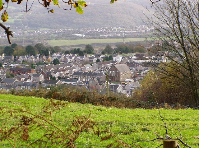
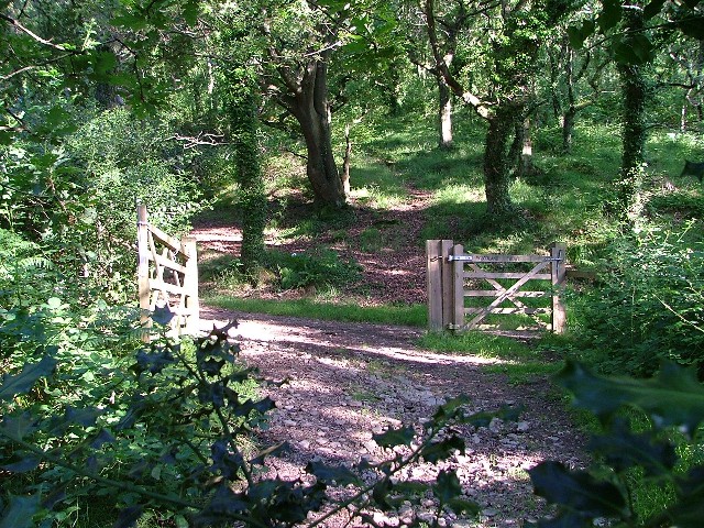
Cwm-du Wood is a beautiful forest located in the county of Glamorgan, Wales. Situated in the picturesque surroundings of the Cwm-du Valley, this woodland area covers a vast expanse of approximately 100 acres. It is known for its diverse flora and fauna, making it a popular destination for nature enthusiasts and hikers.
The forest is characterized by its dense tree cover, consisting of a variety of species including oak, beech, and ash. These towering trees provide a serene and tranquil atmosphere, making it an ideal place for relaxation and exploration. The forest floor is covered with a rich carpet of wildflowers, adding bursts of color to the landscape.
Cwm-du Wood is home to a wide range of wildlife, including birds, mammals, and insects. Birdwatchers can spot species such as woodpeckers, owls, and finches, while mammals like foxes, badgers, and deer roam freely through the woodland. The forest also supports a diverse insect population, with butterflies, bees, and beetles being a common sight.
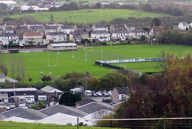
The wood is crisscrossed with a network of well-maintained trails, offering visitors the opportunity to explore the forest on foot. These trails vary in difficulty, catering to both casual strollers and experienced hikers. Along the way, there are several viewpoints and picnic areas, allowing visitors to take in the breathtaking views of the surrounding valley.
Cwm-du Wood is a true gem of Glamorgan, providing a peaceful escape from the hustle and bustle of everyday life. Whether one seeks a leisurely stroll, a bird-watching expedition, or simply a moment of tranquility in nature, this woodland is sure to captivate and inspire all who visit.
If you have any feedback on the listing, please let us know in the comments section below.
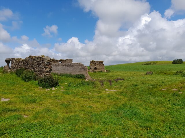
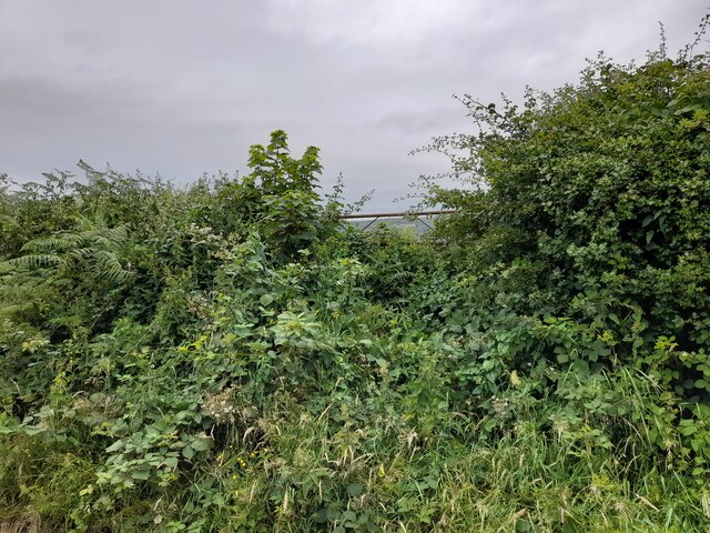
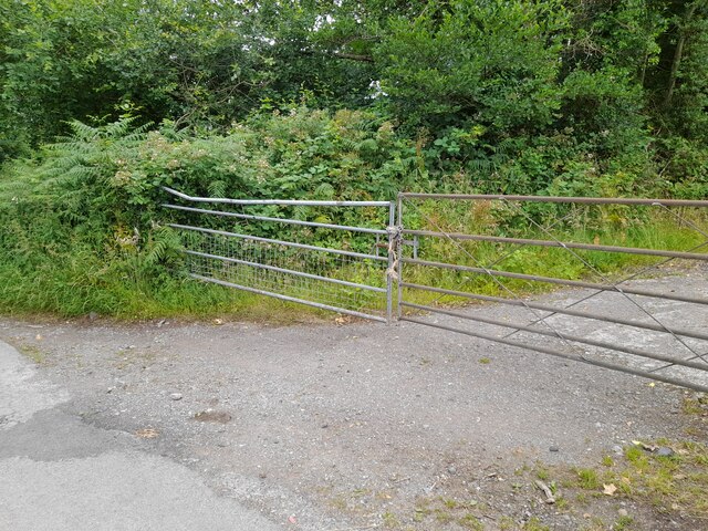
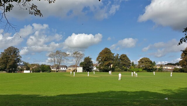
Cwm-du Wood Images
Images are sourced within 2km of 51.658949/-3.8642654 or Grid Reference SS7197. Thanks to Geograph Open Source API. All images are credited.


Cwm-du Wood is located at Grid Ref: SS7197 (Lat: 51.658949, Lng: -3.8642654)
Unitary Authority: Neath Port Talbot
Police Authority: South Wales
What 3 Words
///lightbulb.solar.vocals. Near Clydach, Swansea
Nearby Locations
Related Wikis

Coedffranc Central
Coedffranc Central is an electoral ward of Neath Port Talbot county borough, Wales. Coedffranc Central is a part of the Coedffranc community and falls...
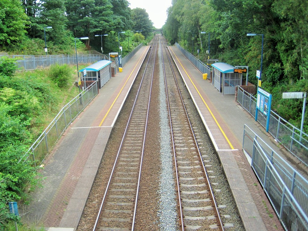
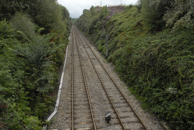
Skewen railway station
Skewen railway station serves the village of Skewen, south Wales. It is located below street level at Station Road in Skewen, 210 miles 26 chains (338...
Coedffranc
Coedffranc is a village in the county borough of Neath Port Talbot, Wales. Today it has merged into an enlarged Skewen, occupying the central regions of...
Llandarcy Platform railway station
Llandarcy Halt railway station served the village of Llandarcy, in the historical county of Glamorganshire, Wales, from 1924 to 1947 on the Swansea District...
Related Videos

(1) Mumbles Bay (1080HD 50 FPS)
Our Tour of Mumbles Bay was an excellent Adventure and Tons of fun, so join us next time on exploring bays in Swansea.

Swansea skewen park UK | United kingdom
Swansea skewen park london london park london village london resort london water park london thumakda london song london ...


Nearby Amenities
Located within 500m of 51.658949,-3.8642654Have you been to Cwm-du Wood?
Leave your review of Cwm-du Wood below (or comments, questions and feedback).