Geodha nam Barnach
Coastal Feature, Headland, Point in Sutherland
Scotland
Geodha nam Barnach

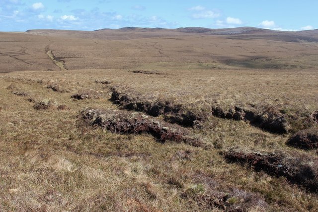
Geodha nam Barnach is a coastal feature located in Sutherland, a county in the northernmost part of mainland Scotland. It is a headland or point that extends into the North Atlantic Ocean, offering breathtaking views of the surrounding landscape.
The area is characterized by rugged cliffs and rocky shores, with the headland jutting out into the sea. Geodha nam Barnach is known for its distinctive geological formations, including towering sea stacks and caves carved by the relentless waves over thousands of years.
The headland is a haven for birdwatchers, as it provides nesting grounds for various seabirds such as puffins, razorbills, and guillemots. The cliffs also offer a perfect vantage point for spotting marine wildlife, including seals and dolphins.
Access to Geodha nam Barnach is relatively easy, as there are well-maintained walking trails that lead visitors to the headland. The captivating landscapes and picturesque views make it a popular destination for hikers and nature enthusiasts.
The area surrounding Geodha nam Barnach is rich in history and culture. Nearby, there are remnants of ancient settlements and archaeological sites, providing glimpses into the lives of the inhabitants who lived here thousands of years ago.
Geodha nam Barnach is a place of natural beauty and tranquility, offering visitors the opportunity to immerse themselves in the stunning coastal scenery and experience the raw power of the North Atlantic Ocean. It is an ideal destination for those seeking to explore the wonders of Scotland's rugged coastline.
If you have any feedback on the listing, please let us know in the comments section below.
Geodha nam Barnach Images
Images are sourced within 2km of 58.578998/-4.5456436 or Grid Reference NC5268. Thanks to Geograph Open Source API. All images are credited.


Geodha nam Barnach is located at Grid Ref: NC5268 (Lat: 58.578998, Lng: -4.5456436)
Unitary Authority: Highland
Police Authority: Highlands and Islands
What 3 Words
///geek.wiser.extreme. Near Oldshoremore, Highland
Nearby Locations
Related Wikis

Midfield, Highland
Midfield is a remote hamlet on the north coast of Scotland in Sutherland in the Highland Council Area. It is a mile south of Tormade Point and just over...

Achnahuaigh
Achnahuaigh or Achinahuaigh (Scottish Gaelic: Achadh na h-Uamha) is a crofting hamlet and neighbourhood in the Melness area of Sutherland in the Highland...
Eilean Hoan
Eilean Hoan is an island in Loch Eriboll in Sutherland on the north coast of Scotland. It is about 28 hectares (69 acres) in extent and the highest point...
Sutherland spaceport
The Sutherland spaceport, also known as Space Hub Sutherland or UKVL Sutherland, is a planned spaceport to be located in Sutherland in Scotland. It would...
Nearby Amenities
Located within 500m of 58.578998,-4.5456436Have you been to Geodha nam Barnach?
Leave your review of Geodha nam Barnach below (or comments, questions and feedback).