Shallowpath
Coastal Feature, Headland, Point in Devon North Devon
England
Shallowpath
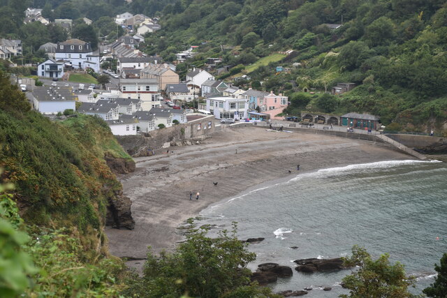
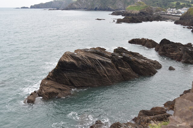
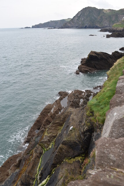
Shallowpath is a stunning coastal feature located in Devon, England. It is known for being a picturesque headland that stretches out into the sea, forming a prominent point along the coastline. Situated in a region renowned for its breathtaking landscapes, Shallowpath stands out as a popular destination for nature lovers and outdoor enthusiasts.
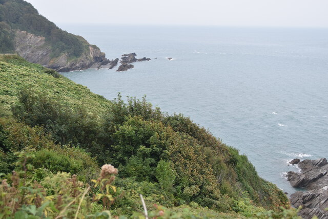
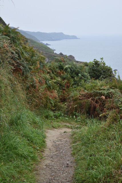
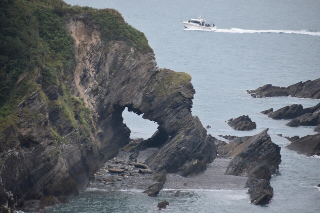
The headland is characterized by its rugged cliffs and rocky terrain, providing visitors with incredible panoramic views of the surrounding coastal scenery. The cliffs, composed of sedimentary rocks such as limestone and sandstone, showcase unique geological formations, attracting geologists and researchers from around the world.
Shallowpath is also home to a diverse range of flora and fauna, making it an important site for conservation efforts. The headland provides a habitat for various bird species, including gulls, cormorants, and peregrine falcons, which can often be observed soaring above the cliffs. The surrounding waters are teeming with marine life, including seals, dolphins, and an array of fish species, making it a popular spot for snorkeling and diving.
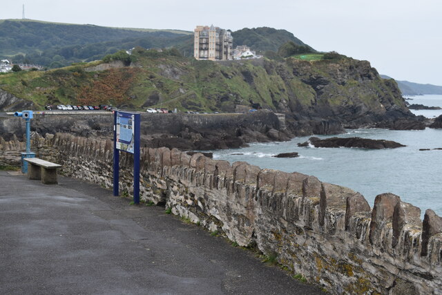
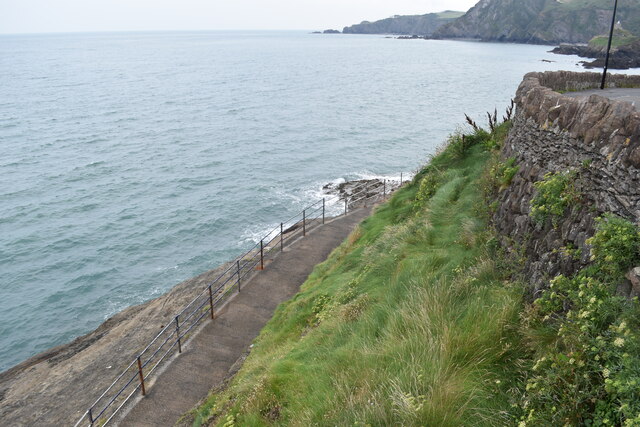
The headland is easily accessible by foot, with well-maintained pathways and trails leading visitors to its vantage points. It is an ideal location for hikers and photographers, offering unparalleled opportunities to capture the beauty of the coastline. In addition, Shallowpath boasts a small beach nestled at the foot of the cliffs, providing a serene spot for sunbathing or enjoying a picnic.
Overall, Shallowpath is a must-visit destination for those seeking natural beauty, wildlife encounters, and outdoor adventures. Its stunning headland, dramatic cliffs, and diverse ecosystem make it a truly remarkable coastal feature in Devon.
If you have any feedback on the listing, please let us know in the comments section below.
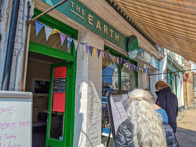
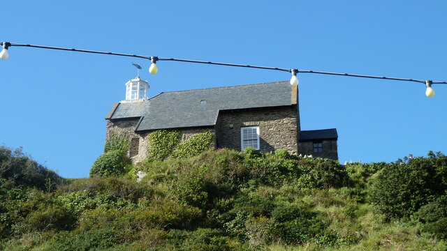
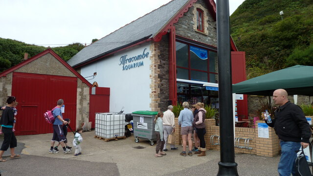
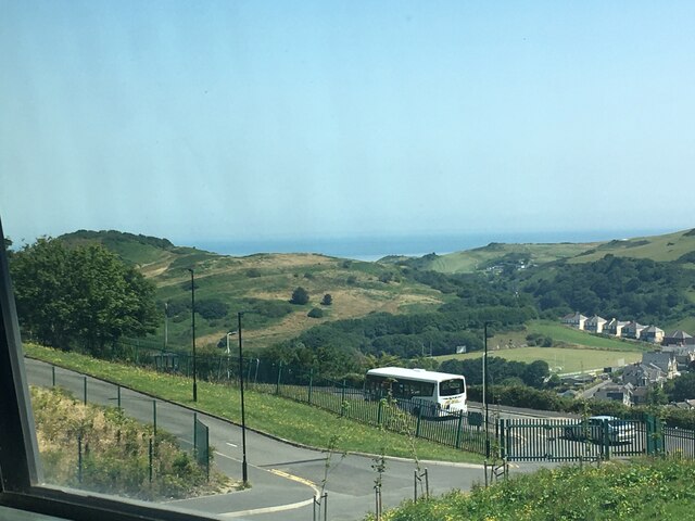
Shallowpath Images
Images are sourced within 2km of 51.211716/-4.1180512 or Grid Reference SS5247. Thanks to Geograph Open Source API. All images are credited.
Shallowpath is located at Grid Ref: SS5247 (Lat: 51.211716, Lng: -4.1180512)
Administrative County: Devon
District: North Devon
Police Authority: Devon and Cornwall
What 3 Words
///magnetic.sprinkle.graph. Near Ilfracombe, Devon
Nearby Locations
Related Wikis
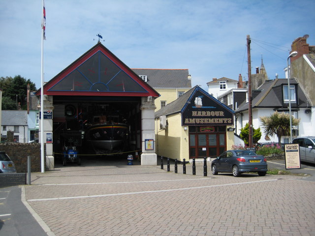
Ilfracombe Lifeboat Station
Ilfracombe Lifeboat Station is the base for Royal National Lifeboat Institution (RNLI) search and rescue operations at Ilfracombe, Devon, England. The...
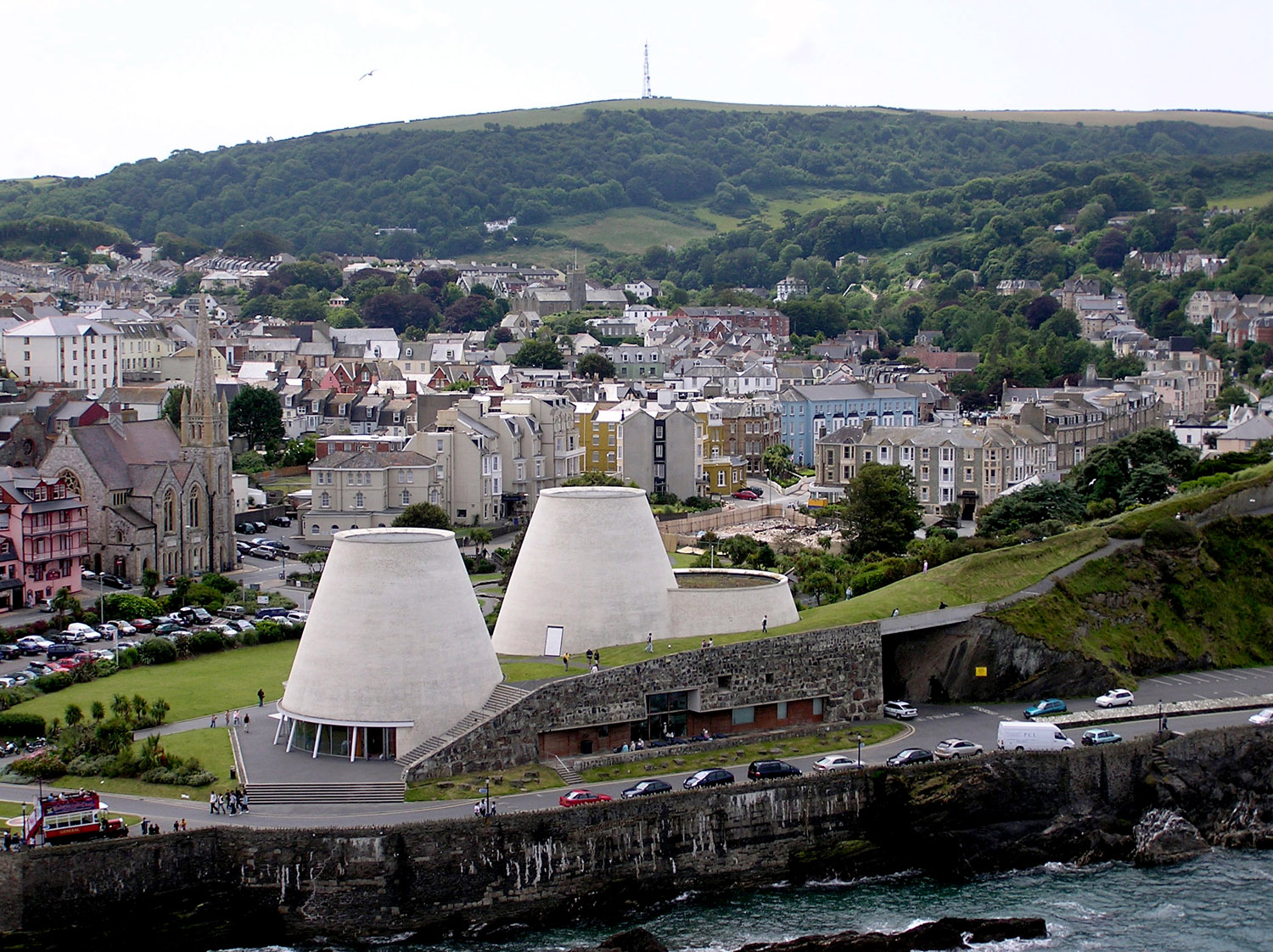
Landmark Theatre, Devon
The Landmark Theatre is a theatre in the North Devon coastal town of Ilfracombe. It has a distinctive double-conical design. It was built to replace The...
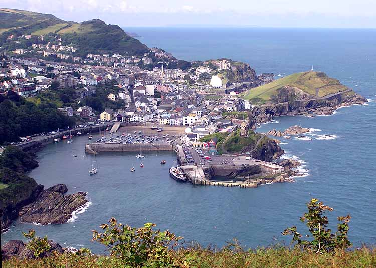
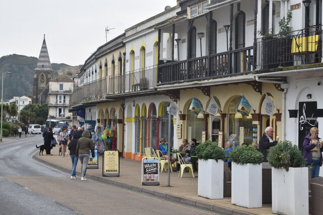
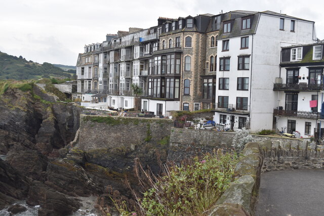
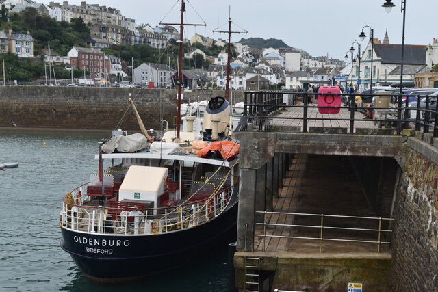
Ilfracombe
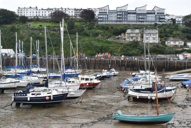
Ilfracombe ( IL-frə-koom) is a seaside resort and civil parish on the North Devon coast, England, with a small harbour surrounded by cliffs. The parish...

Old Town Hall, Ilfracombe
The Old Town Hall is a former municipal building in the High Street in Ilfracombe, Devon, England. The structure, which currently operates as gym, is a...
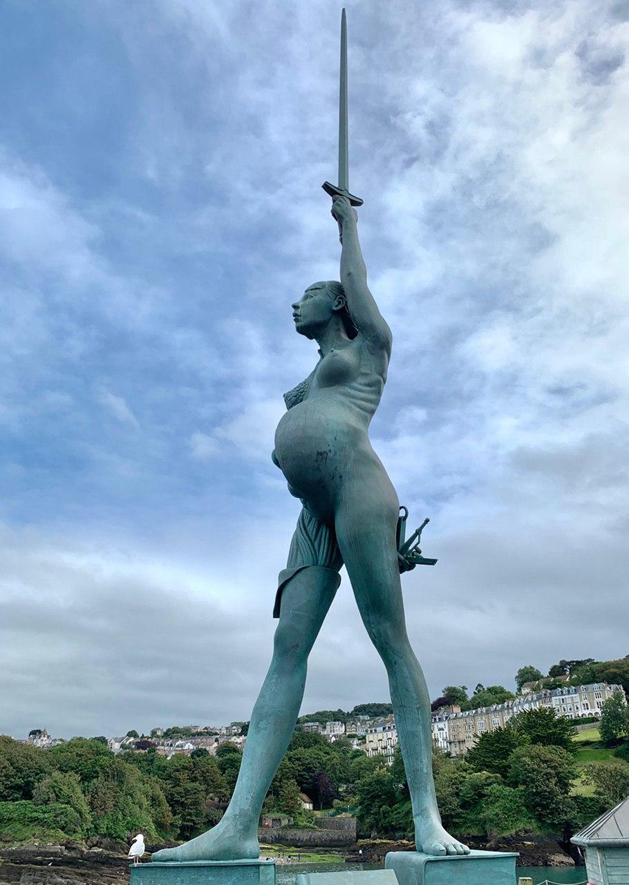
Verity (statue)
Verity is a 2012 stainless steel and bronze statue created by Damien Hirst. The 20.25-metre (66.4 ft) tall sculpture stands on the pier at the entrance...
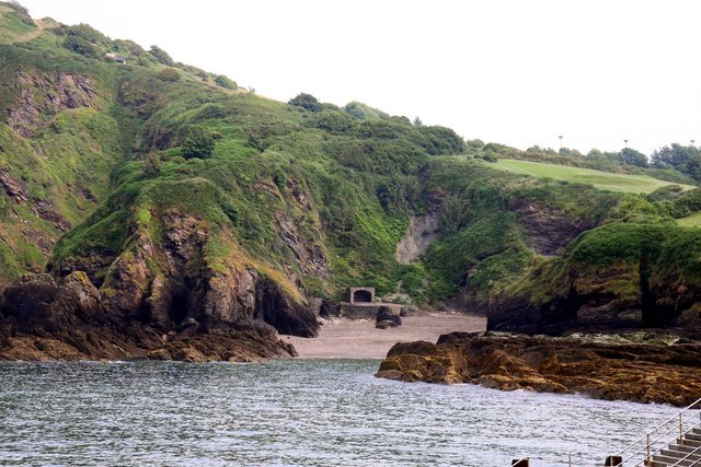
Rapparee Cove
Rapparee is a cove in the North Devon town of Ilfracombe. The cove is the site of the shipwreck of the transport London, which sank on 9 October 1796 in...

Chambercombe
Chambercombe is a hilly suburb in the North Devon town of Ilfracombe. == References == The geographic coordinates are from the Ordnance Survey. == External... ==

The Ilfracombe Academy
The Ilfracombe Academy is a coeducational secondary school and sixth form with academy status, located in the North Devon town of Ilfracombe, England...
Nearby Amenities
Located within 500m of 51.211716,-4.1180512Have you been to Shallowpath?
Leave your review of Shallowpath below (or comments, questions and feedback).