A' Chioch
Coastal Feature, Headland, Point in Sutherland
Scotland
A' Chioch

A' Chioch, also known as Stoer Head, is a prominent coastal feature located in the Sutherland region of Scotland. It is a stunning headland that juts out into the Atlantic Ocean, forming a rocky point that offers breathtaking views of the surrounding landscape. A' Chioch is situated on the western coast of Sutherland, near the village of Stoer.
The headland is characterized by its rugged and dramatic cliffs, which rise to a height of around 65 meters (213 feet) above sea level. These cliffs are composed of Torridonian Sandstone, a rock formation that dates back to the Precambrian era, making them some of the oldest rocks in Europe.
A' Chioch is known for its unique geological features, including a natural arch called the Old Man of Stoer. This rock formation is a popular attraction for climbers and photographers alike. It is a tall sea stack that stands separate from the main headland, reaching a height of 60 meters (197 feet). The Old Man of Stoer is a testament to the power of erosion, as it was once connected to the headland before the relentless force of the sea carved it out.
The area surrounding A' Chioch is rich in biodiversity, with a variety of seabirds nesting on the cliffs, including puffins, fulmars, and razorbills. The coastal waters are also home to a diverse range of marine life, such as seals, dolphins, and even occasional sightings of whales.
A' Chioch is a popular destination for hikers and nature enthusiasts, who come to explore the stunning coastal paths and enjoy the unparalleled beauty of this remote and wild landscape.
If you have any feedback on the listing, please let us know in the comments section below.
A' Chioch Images
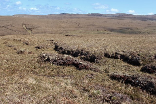
Images are sourced within 2km of 58.580031/-4.535207 or Grid Reference NC5268. Thanks to Geograph Open Source API. All images are credited.


A' Chioch is located at Grid Ref: NC5268 (Lat: 58.580031, Lng: -4.535207)
Unitary Authority: Highland
Police Authority: Highlands and Islands
What 3 Words
///cookery.educated.refills. Near Oldshoremore, Highland
Nearby Locations
Related Wikis

Midfield, Highland
Midfield is a remote hamlet on the north coast of Scotland in Sutherland in the Highland Council Area. It is a mile south of Tormade Point and just over...

Achnahuaigh
Achnahuaigh or Achinahuaigh (Scottish Gaelic: Achadh na h-Uamha) is a crofting hamlet and neighbourhood in the Melness area of Sutherland in the Highland...
Melness
Melness (Gaelic: Taobh Mhealanais) is a locality, comprising a group of small remote crofting townships, lying to the west of Tongue Bay opposite Coldbackie...
Sutherland spaceport
The Sutherland spaceport, also known as Space Hub Sutherland or UKVL Sutherland, is a planned spaceport to be located in Sutherland in Scotland. It would...
Nearby Amenities
Located within 500m of 58.580031,-4.535207Have you been to A' Chioch?
Leave your review of A' Chioch below (or comments, questions and feedback).