Eastern King Point
Coastal Feature, Headland, Point in Devon
England
Eastern King Point

Eastern King Point is a prominent coastal feature located in Devon, England. Situated on the southwestern coast of the county, it is specifically found on the eastern side of King’s Bay, near the town of Devonport. This headland stands as a picturesque point that juts out into the English Channel.
Characterized by its rugged cliffs and stunning panoramic views, Eastern King Point is a popular destination for nature enthusiasts and hikers alike. The cliffs, composed of sedimentary rocks, rise to an impressive height, providing a dramatic backdrop against the deep blue waters of the channel. The point offers breathtaking vistas of the surrounding coastline and the open sea, providing an ideal spot for photographers and sightseers.
The area surrounding Eastern King Point is abundant in diverse marine life, making it a haven for wildlife enthusiasts. Seabirds such as gulls, puffins, and cormorants can be spotted nesting along the cliffs, while dolphins and seals are often seen swimming near the point. The rugged coastal environment also supports a wide variety of plant species, including coastal grasses, heather, and wildflowers, adding to the area's natural beauty.
Accessible by foot, Eastern King Point can be reached via a well-maintained coastal path that winds its way along the cliffs. The path offers a pleasant and scenic walk, allowing visitors to appreciate the coastal flora and fauna while enjoying the stunning views. Additionally, the point is conveniently located near other attractions, including sandy beaches, historical landmarks, and charming coastal villages, making it an ideal destination for a day trip or longer stay.
If you have any feedback on the listing, please let us know in the comments section below.
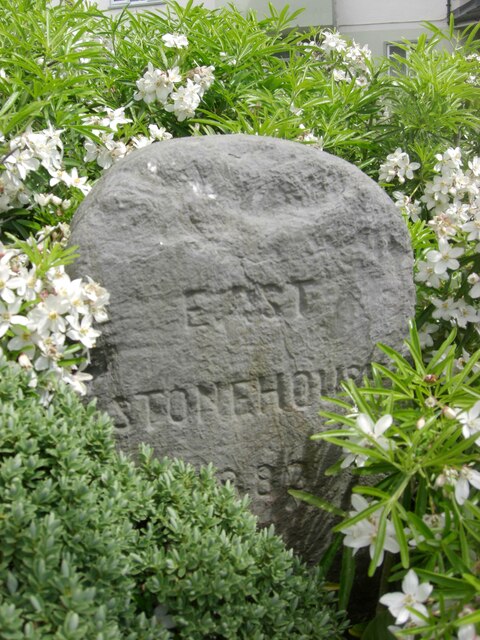
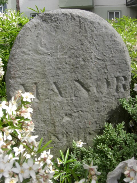
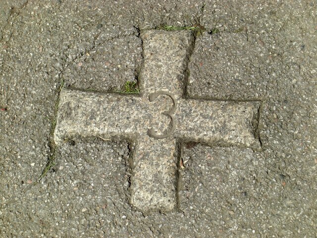
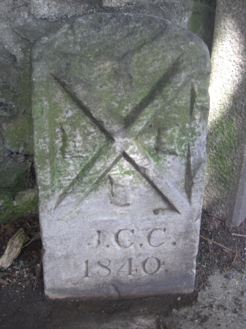
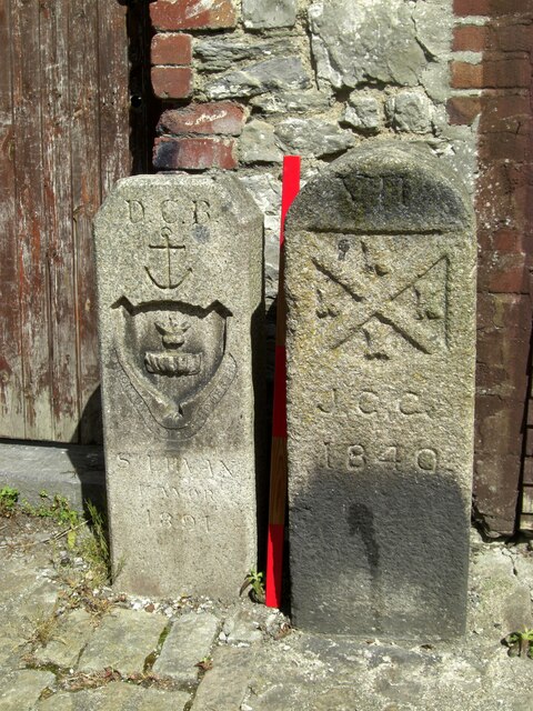
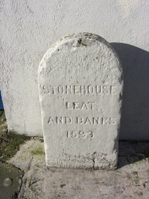
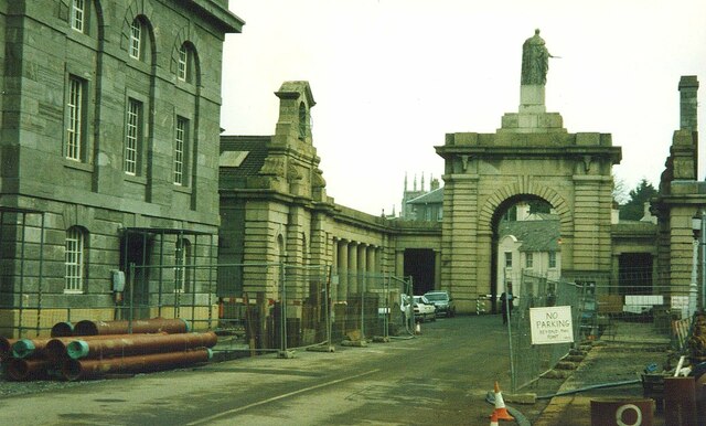
Eastern King Point Images
Images are sourced within 2km of 50.361579/-4.1565785 or Grid Reference SX4653. Thanks to Geograph Open Source API. All images are credited.


Eastern King Point is located at Grid Ref: SX4653 (Lat: 50.361579, Lng: -4.1565785)
Unitary Authority: Plymouth
Police Authority: Devon and Cornwall
What 3 Words
///bells.lance.admire. Near Plymouth, Devon
Nearby Locations
Related Wikis

Plymouth Lifeboat Station
Plymouth Lifeboat Station is the base for Royal National Lifeboat Institution (RNLI) search and rescue operations at Plymouth in England. The first lifeboat...

Devil's Point, Plymouth
Devil's Point (also called Western King Point) is located on the eastern side of the mouth of the River Tamar where it meets the English Channel at Plymouth...

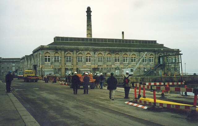
Royal William Victualling Yard
The Royal William Victualling Yard in Stonehouse, a suburb of Plymouth, England, was the major victualling depot of the Royal Navy and an important adjunct...

Western King's Redoubt
The Western King's Redoubt is an 18th and 19th-century artillery battery in Plymouth, Devonshire, England, upgraded as a result of the Royal Commission...

Brigade Patrol Troop
The Brigade Patrol Troop is a reconnaissance troop of the United Kingdom's Royal Marines and is part of the Surveillance and Reconnaissance Squadron (SRS...
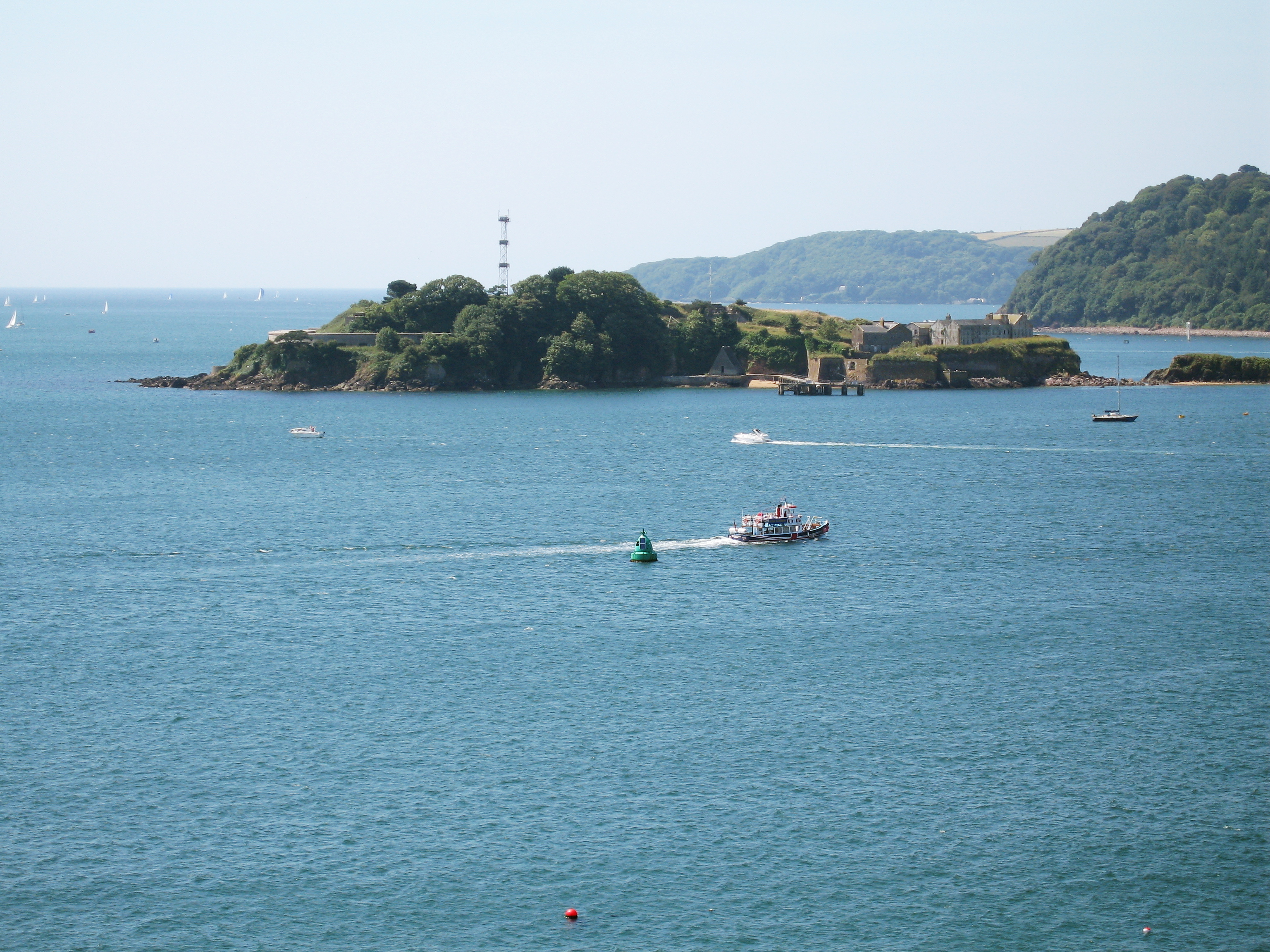
Drake's Island
Drake's Island is a 6.5-acre (2.6-hectare) island lying in Plymouth Sound, the stretch of water south of the city of Plymouth, Devon. The rocks which make...
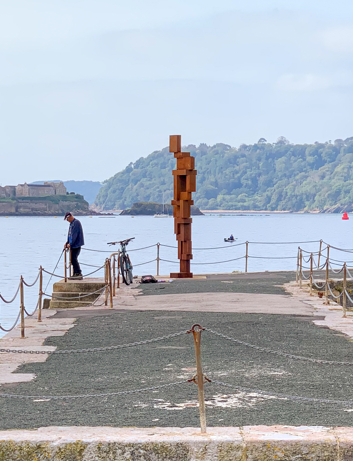
LOOK II (sculpture in Plymouth)
LOOK II (alternatively, Look II, and colloquially, Rusty Reg) is a permanent sculpture by British sculptor Antony Gormley on the south-western leg of West...

Stonehouse Barracks
Stonehouse Barracks, or RM Stonehouse, is a military installation at Stonehouse, Plymouth. It is the home of 3 Commando Brigade and referred to by commandos...
Nearby Amenities
Located within 500m of 50.361579,-4.1565785Have you been to Eastern King Point?
Leave your review of Eastern King Point below (or comments, questions and feedback).