Bass Rock
Coastal Feature, Headland, Point in Cornwall
England
Bass Rock
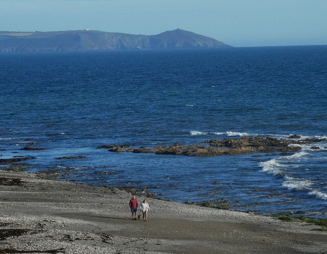
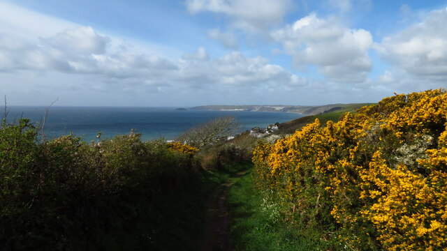
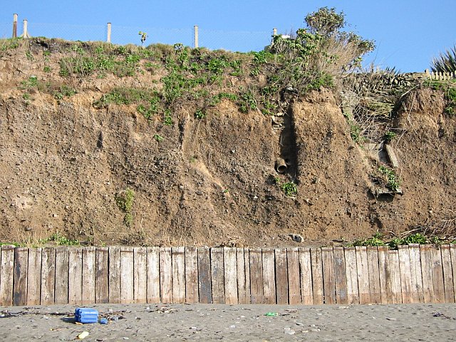
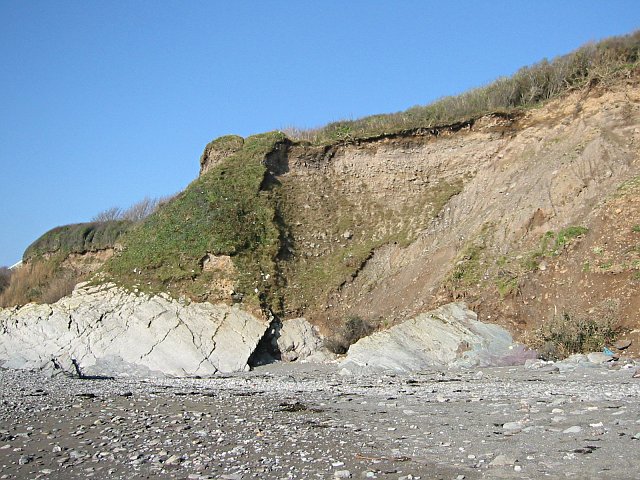
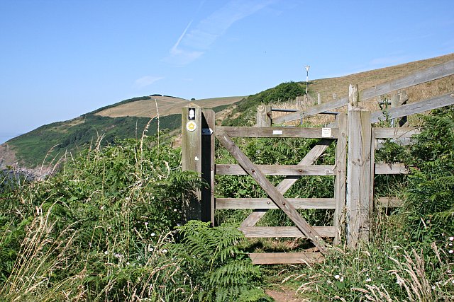
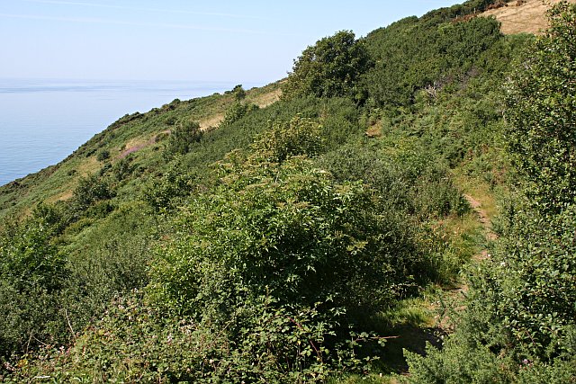
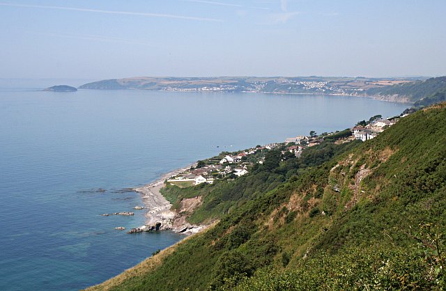
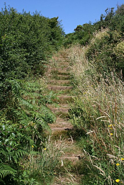
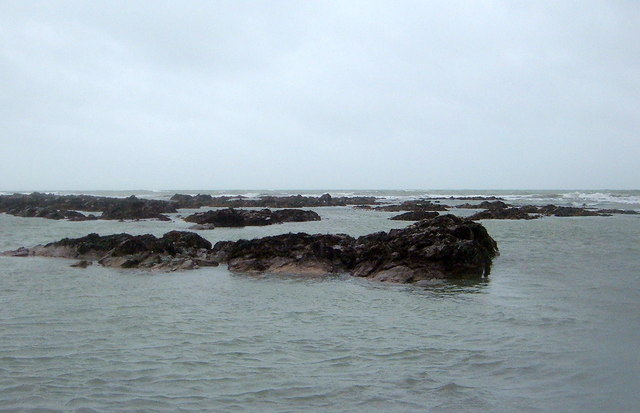
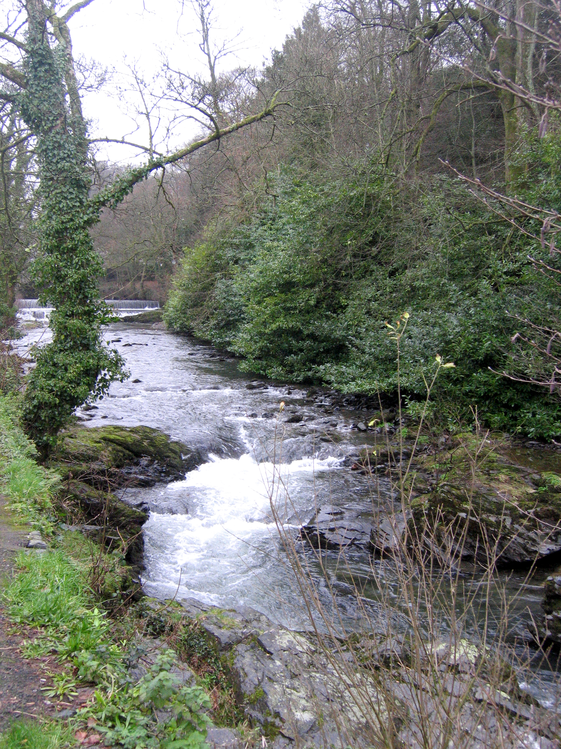
Bass Rock is a prominent coastal feature located in Cornwall, England. It is a rugged headland that juts out into the Atlantic Ocean, offering stunning views of the surrounding coastline. The rock is known for its distinctive shape, which resembles the head of a bass fish, hence its name.
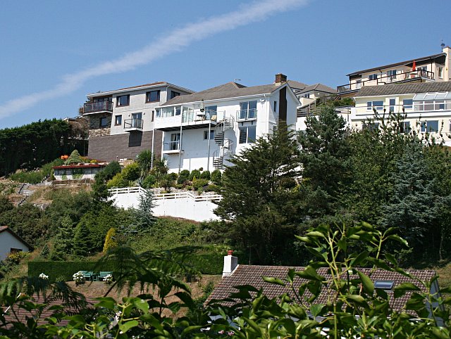
Bass Rock is a popular destination for tourists and nature enthusiasts, who come to admire its natural beauty and observe the diverse wildlife that inhabits the area. The rock is home to a variety of seabirds, including puffins, razorbills, and gannets, making it a prime spot for birdwatching.
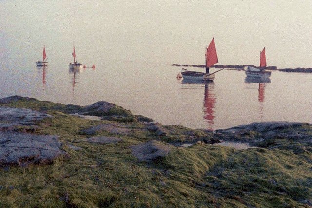
The surrounding waters of Bass Rock are also teeming with marine life, making it a popular spot for fishing and diving. The rock itself is composed of rugged cliffs and rocky outcrops, making it a challenging but rewarding destination for climbers and hikers.
Overall, Bass Rock is a must-see destination for anyone visiting Cornwall, offering a unique blend of natural beauty, wildlife, and outdoor activities.
If you have any feedback on the listing, please let us know in the comments section below.
Bass Rock Images
Images are sourced within 2km of 50.360661/-4.357672 or Grid Reference SX3253. Thanks to Geograph Open Source API. All images are credited.


Bass Rock is located at Grid Ref: SX3253 (Lat: 50.360661, Lng: -4.357672)
Unitary Authority: Cornwall
Police Authority: Devon and Cornwall
What 3 Words
///quality.cleanest.wanted. Near Looe, Cornwall
Nearby Locations
Related Wikis

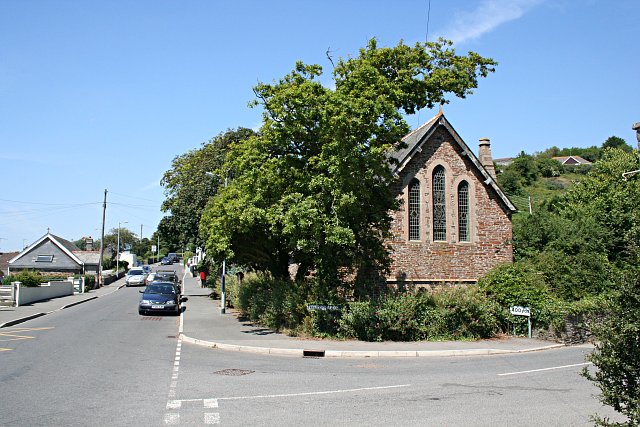
Downderry
Downderry (Cornish: Downderri) is a coastal village in southeast Cornwall, England, United Kingdom. It is situated 12 miles (19 km) west of Plymouth and...

Narkurs
Narkurs is a hamlet in the south east of Cornwall, England. It is part of the civil parish of Deviock. It is about 2 km southeast of Hessenford. Historically...

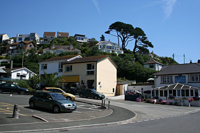
Seaton, Cornwall
Seaton (Cornish: Sethyn, meaning little arrow after the river) is a village on the south coast of Cornwall, England, at the mouth of the River Seaton...
River Seaton
The River Seaton is a river in east Cornwall, England, UK which flows southwards for 11 miles (17 km) into the English Channel. The river rises near Caradon...
Nearby Amenities
Located within 500m of 50.360661,-4.357672Have you been to Bass Rock?
Leave your review of Bass Rock below (or comments, questions and feedback).