Barras Nose
Coastal Feature, Headland, Point in Cornwall
England
Barras Nose

The requested URL returned error: 429 Too Many Requests
If you have any feedback on the listing, please let us know in the comments section below.
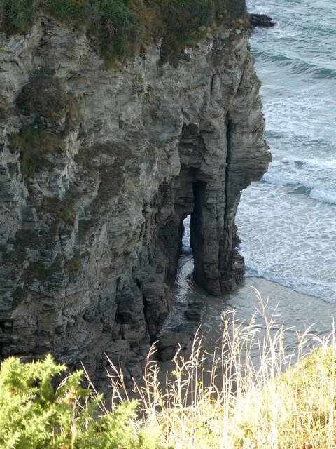
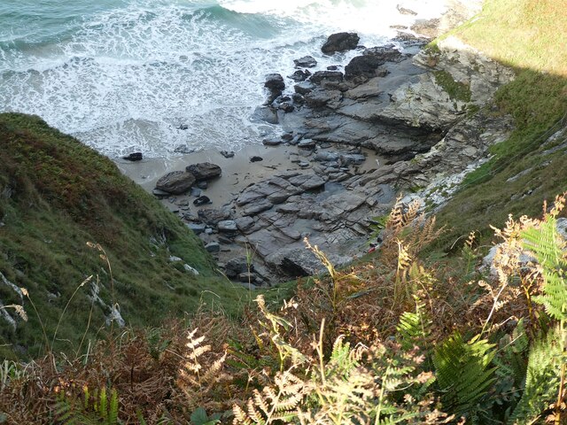
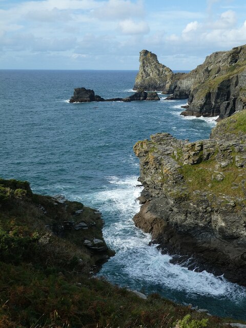
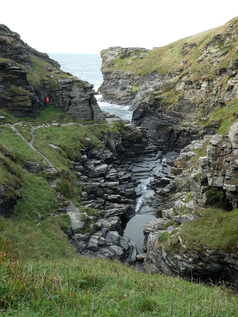
Barras Nose Images
Images are sourced within 2km of 50.671876/-4.7578701 or Grid Reference SX0589. Thanks to Geograph Open Source API. All images are credited.


Barras Nose is located at Grid Ref: SX0589 (Lat: 50.671876, Lng: -4.7578701)
Unitary Authority: Cornwall
Police Authority: Devon and Cornwall
What 3 Words
///shields.cabinet.gazes. Near Tintagel, Cornwall
Nearby Locations
Related Wikis
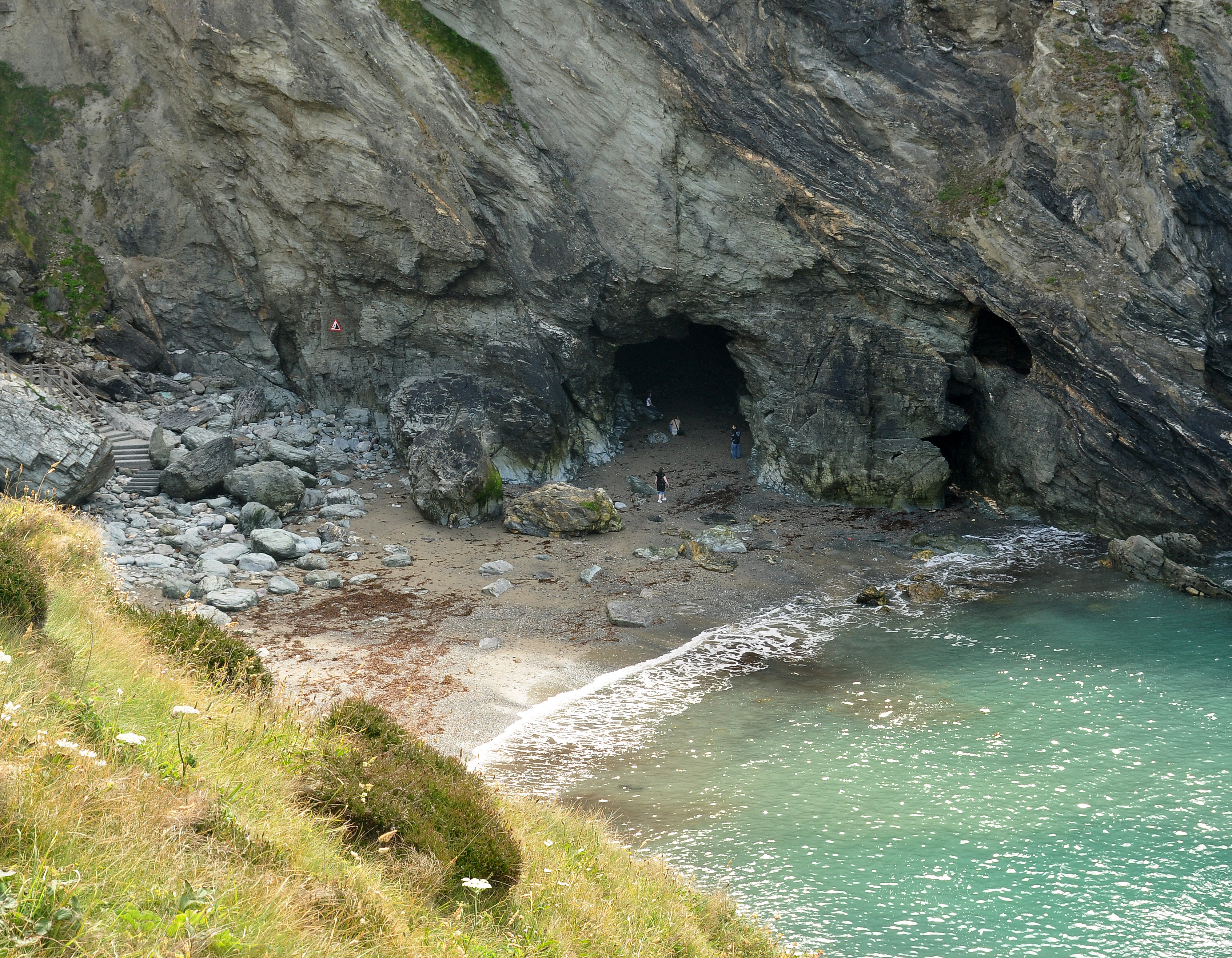
Merlin's Cave
Merlin's Cave is a cave located beneath Tintagel Castle, 5 kilometres (3.1 mi) south-west of Boscastle, Cornwall, England. It is 100 metres (330 ft) long...
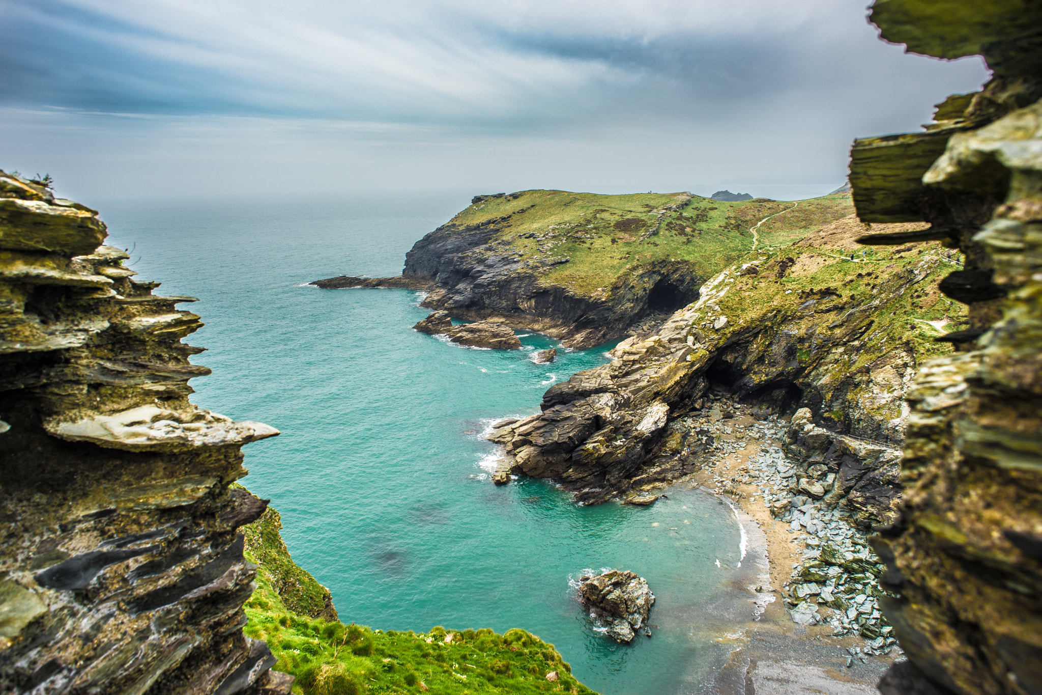
Tintagel Haven
Tintagel Haven also known as Castle Cove is a small beach on the north side of Tintagel Island on the north coast of Cornwall, South West England. Slate...
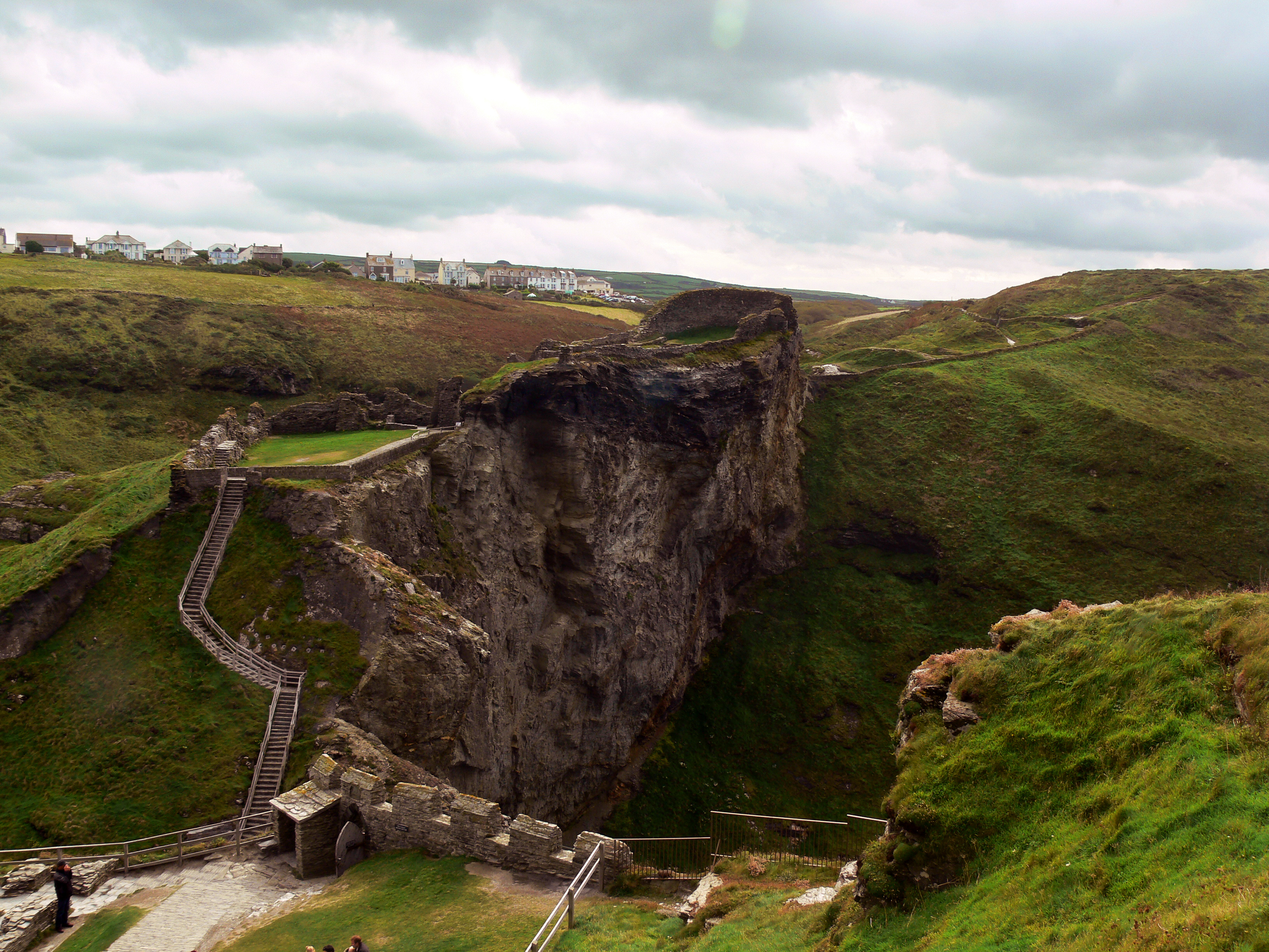
Tintagel Castle
Tintagel Castle (Cornish: Dintagel) is a medieval fortification located on the peninsula of Tintagel Island adjacent to the village of Tintagel (Trevena...
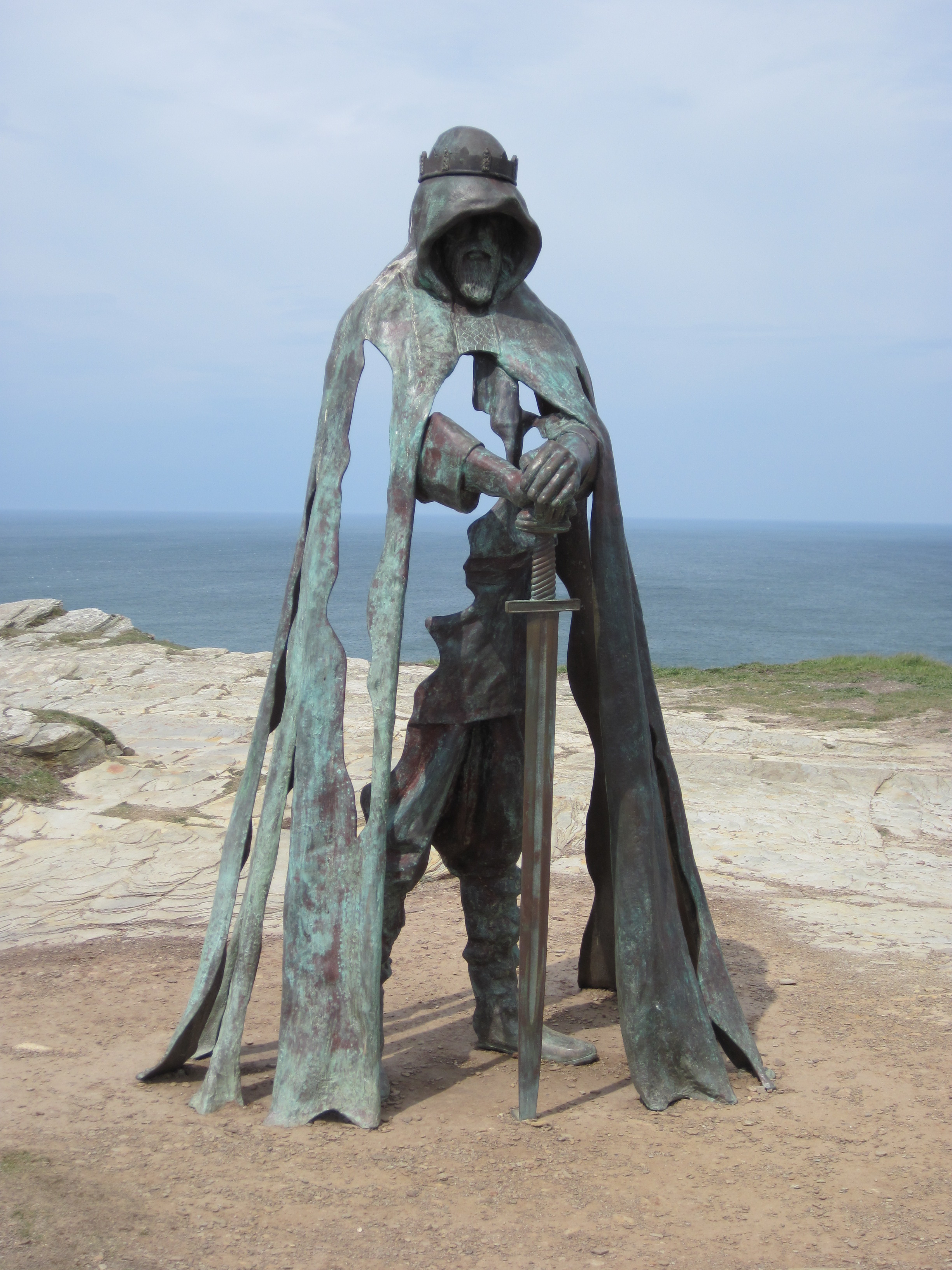
Gallos (sculpture)
Gallos is an 8-foot-tall (2.4 m) bronze sculpture by Rubin Eynon located at Tintagel Castle, a medieval fortification located on the peninsula of Tintagel...
Nearby Amenities
Located within 500m of 50.671876,-4.7578701Have you been to Barras Nose?
Leave your review of Barras Nose below (or comments, questions and feedback).