Barras Gug
Bay in Cornwall
England
Barras Gug
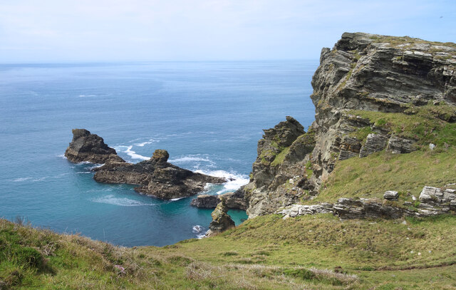
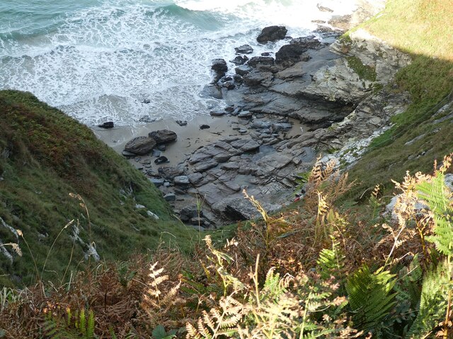
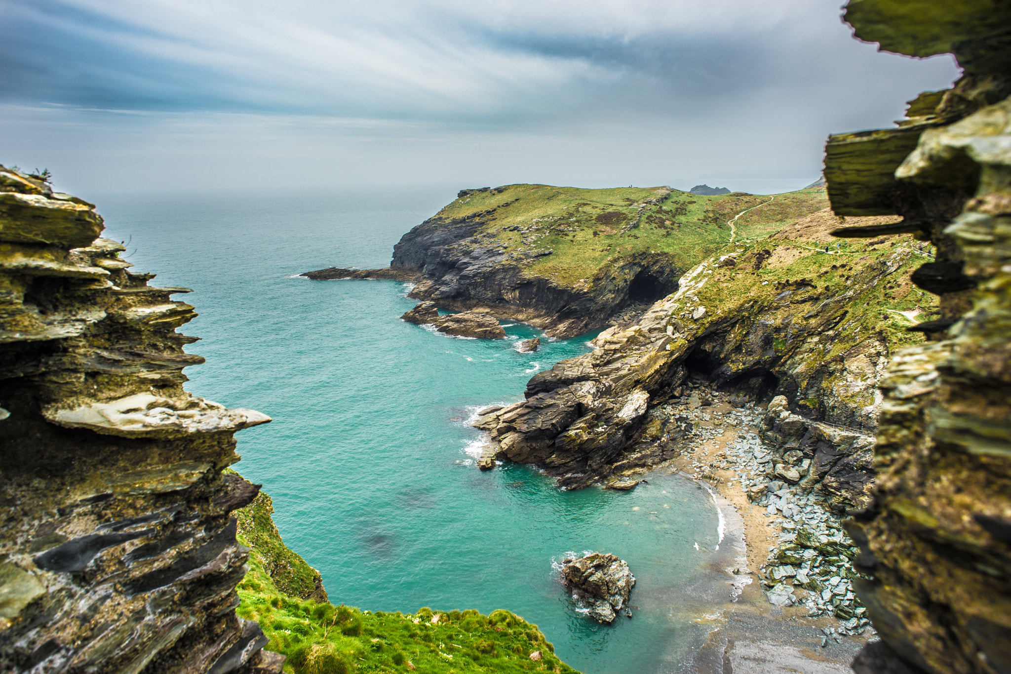
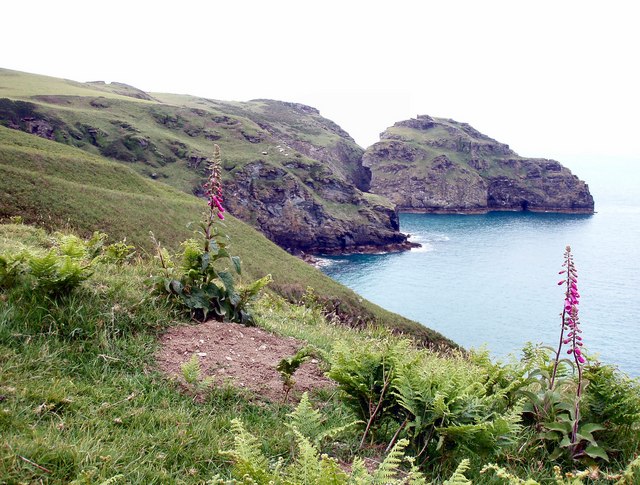
Barras Gug is a picturesque bay located in Cornwall, England. Situated on the southern coast of the county, it offers visitors a stunning natural beauty and a tranquil atmosphere. The bay is tucked away between towering cliffs, creating a secluded and intimate setting.
The beach at Barras Gug is known for its soft golden sand, which stretches for approximately half a mile. The crystal-clear waters are perfect for swimming and paddling, making it an ideal destination for families and water enthusiasts. The bay is also popular with surfers due to its consistent waves and challenging breaks.
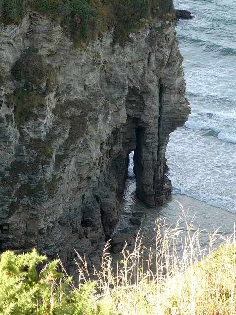
Surrounding the beach are rugged cliffs and rocky outcrops, creating a dramatic backdrop. These cliffs are home to various species of seabirds, providing visitors with a unique opportunity for birdwatching. The bay is also rich in marine life, with occasional sightings of seals and dolphins.
Barras Gug is relatively secluded and lacks commercial development, making it a peaceful and unspoiled destination. There are limited facilities available, including a small car park and public toilets. The bay is accessible via a narrow road, which adds to its sense of seclusion.
Visitors to Barras Gug can enjoy leisurely walks along the beach, explore the surrounding cliffs, or simply relax and soak up the beautiful surroundings. With its natural beauty and tranquil ambiance, Barras Gug is a hidden gem on Cornwall's coastline.
If you have any feedback on the listing, please let us know in the comments section below.
Barras Gug Images
Images are sourced within 2km of 50.671061/-4.7531656 or Grid Reference SX0589. Thanks to Geograph Open Source API. All images are credited.


Barras Gug is located at Grid Ref: SX0589 (Lat: 50.671061, Lng: -4.7531656)
Unitary Authority: Cornwall
Police Authority: Devon and Cornwall
What 3 Words
///bitters.lunging.pixel. Near Tintagel, Cornwall
Nearby Locations
Related Wikis
Tintagel Haven
Tintagel Haven also known as Castle Cove is a small beach on the north side of Tintagel Island on the north coast of Cornwall, South West England. Slate...
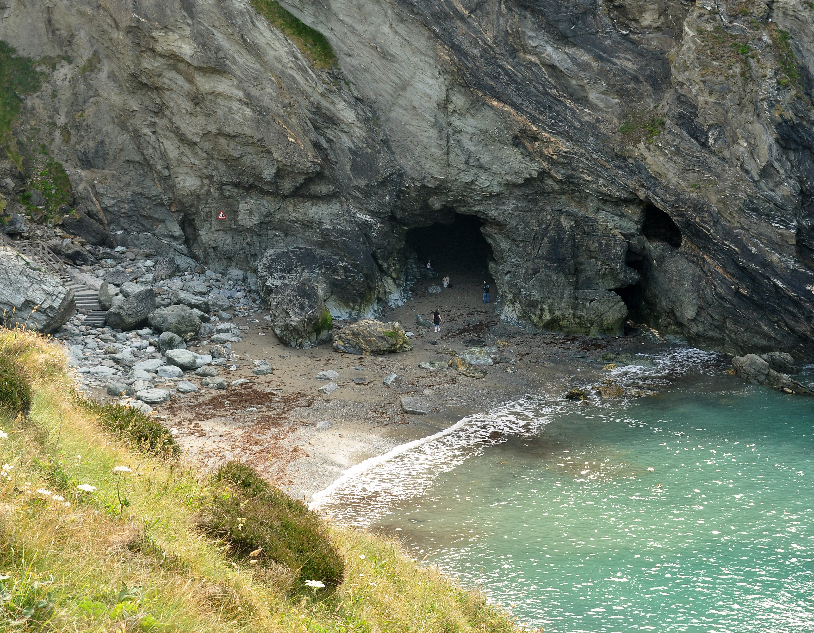
Merlin's Cave
Merlin's Cave is a cave located beneath Tintagel Castle, 5 kilometres (3.1 mi) south-west of Boscastle, Cornwall, England. It is 100 metres (330 ft) long...
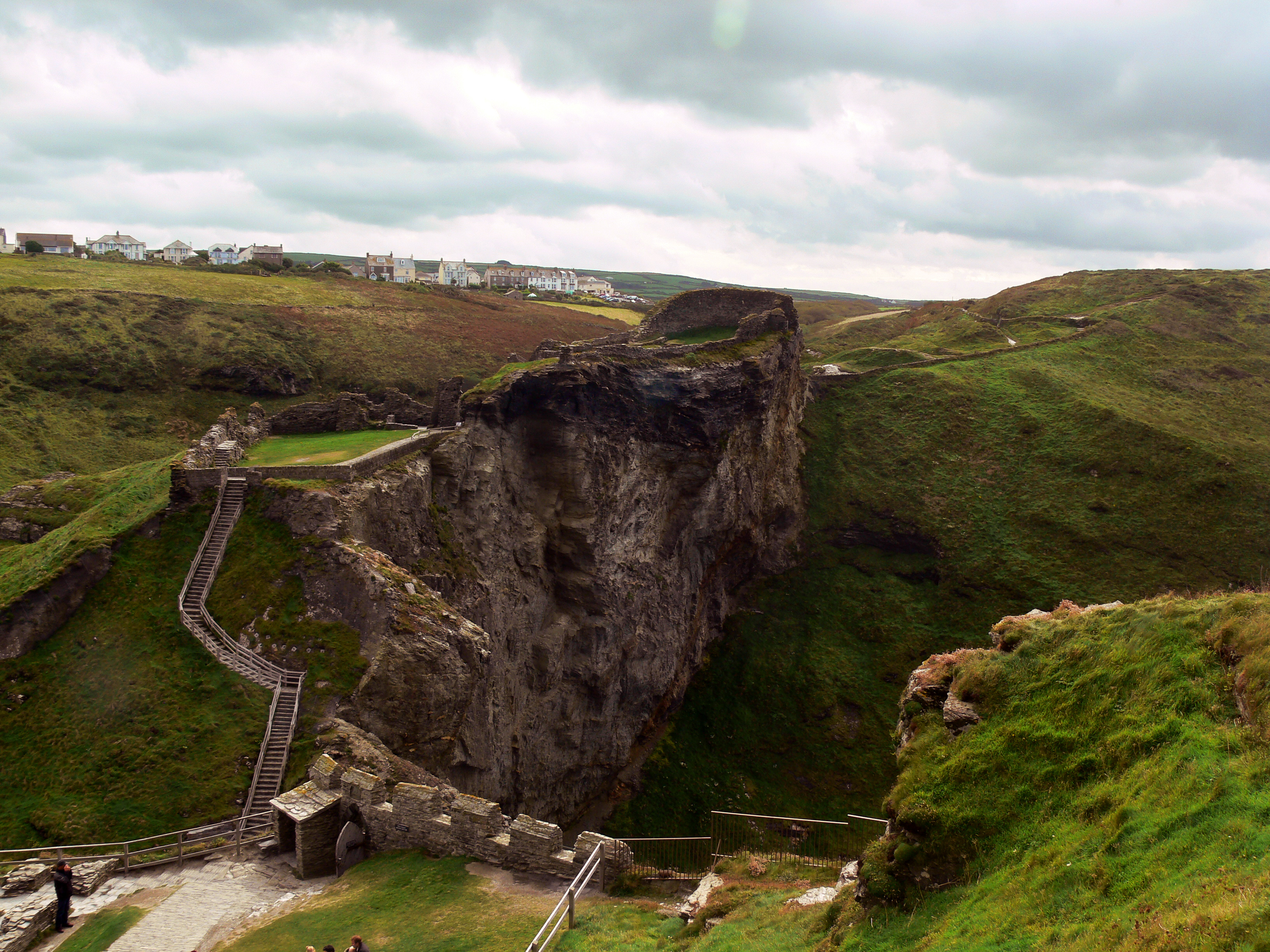
Tintagel Castle
Tintagel Castle (Cornish: Dintagel) is a medieval fortification located on the peninsula of Tintagel Island adjacent to the village of Tintagel (Trevena...
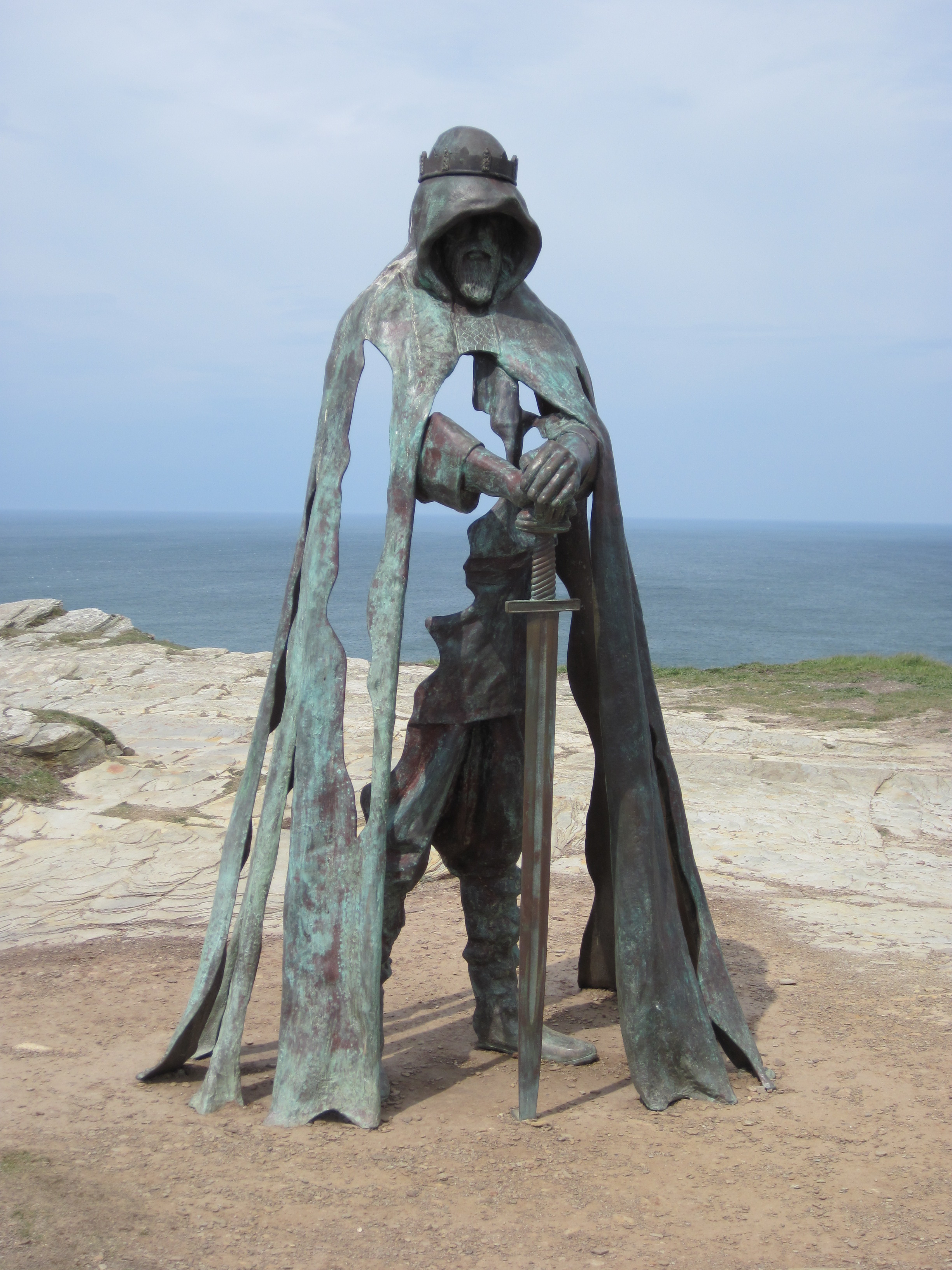
Gallos (sculpture)
Gallos is an 8-foot-tall (2.4 m) bronze sculpture by Rubin Eynon located at Tintagel Castle, a medieval fortification located on the peninsula of Tintagel...
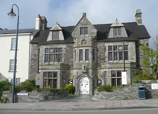
King Arthur's Great Halls
King Arthur's Great Halls (opened 1933) is a Grade II* listed building in Fore Street, Tintagel, Cornwall, England, UK. Built in the early 1930s by Frederick...
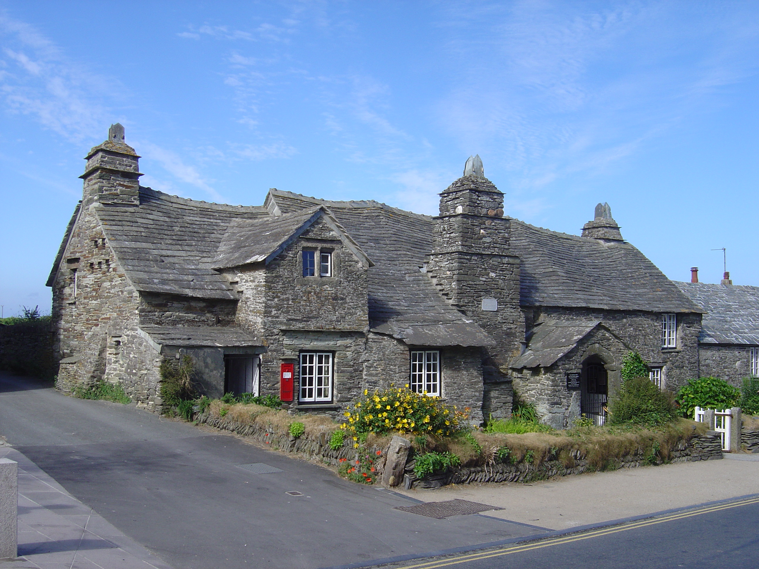
Tintagel Old Post Office
Tintagel Old Post Office is a 14th-century stone house, built to the plan of a medieval manor house, situated in Tintagel, Cornwall, England. The house...
Lye Cove
Lye Cove is a small coastal inlet near Tintagel on the north coast of Cornwall, South West England. The cove lies immediately below the Iron Age hill fort...

Tintagel
Tintagel () or Trevena (Cornish: Tre war Venydh, meaning Village on a Mountain) is a civil parish and village situated on the Atlantic coast of Cornwall...
Nearby Amenities
Located within 500m of 50.671061,-4.7531656Have you been to Barras Gug?
Leave your review of Barras Gug below (or comments, questions and feedback).