Longbridge
Settlement in Warwickshire Warwick
England
Longbridge
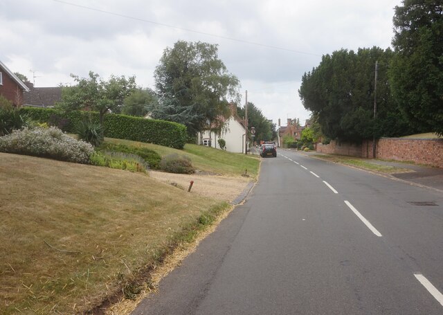
Longbridge is a small village located in Warwickshire, England. Situated approximately 6 miles south of Warwick and 15 miles southeast of Birmingham, it falls within the Stratford-on-Avon district. With a population of around 1,500 residents, Longbridge exudes a close-knit community vibe.
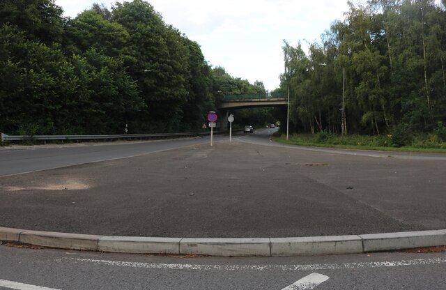
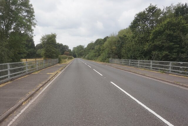
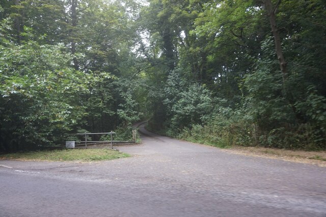
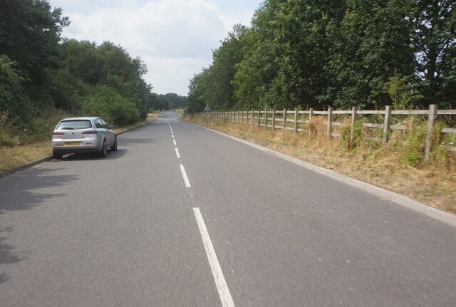
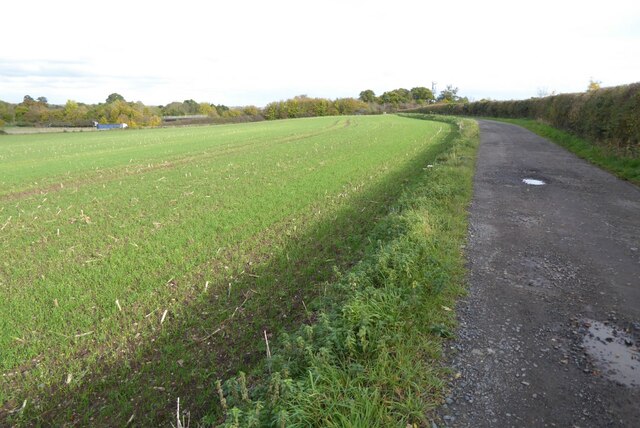
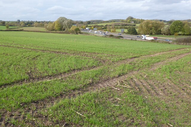
The village is surrounded by picturesque countryside, offering residents and visitors a tranquil setting. Longbridge is well-connected by road, with easy access to major transportation routes such as the A46 and M40 motorway. The nearby Stratford-upon-Avon Canal also adds to the village's charm, providing opportunities for leisurely walks and boating.
Longbridge boasts a range of amenities and services, including a primary school, a church, and a village hall. The village hall serves as a hub for various community events and activities, fostering a strong sense of community spirit. Additionally, Longbridge is home to several small businesses, including local shops and pubs, catering to the needs of its residents.
For those seeking recreational activities, Longbridge is in close proximity to several attractions. Warwick Castle, one of the most renowned castles in England, is only a short drive away. The Cotswolds, an Area of Outstanding Natural Beauty, is also within easy reach, offering opportunities for hiking, cycling, and exploring charming Cotswold villages.
In summary, Longbridge is a charming village in Warwickshire that offers a peaceful and close-knit community. With its idyllic countryside setting, convenient location, and range of amenities, it provides residents and visitors with a delightful place to live or explore.
If you have any feedback on the listing, please let us know in the comments section below.
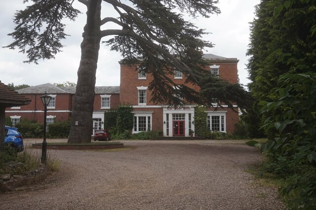
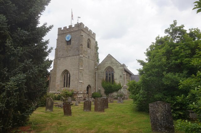
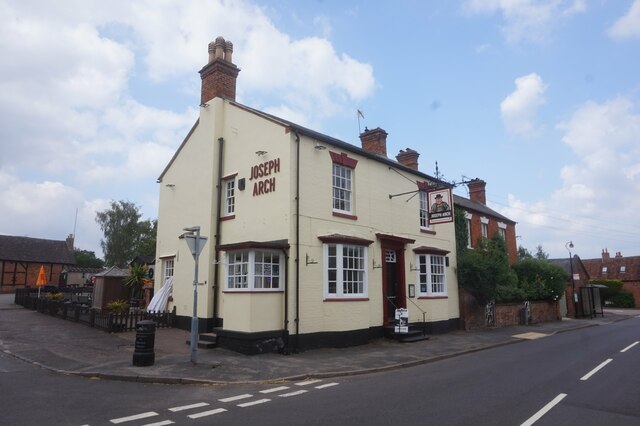
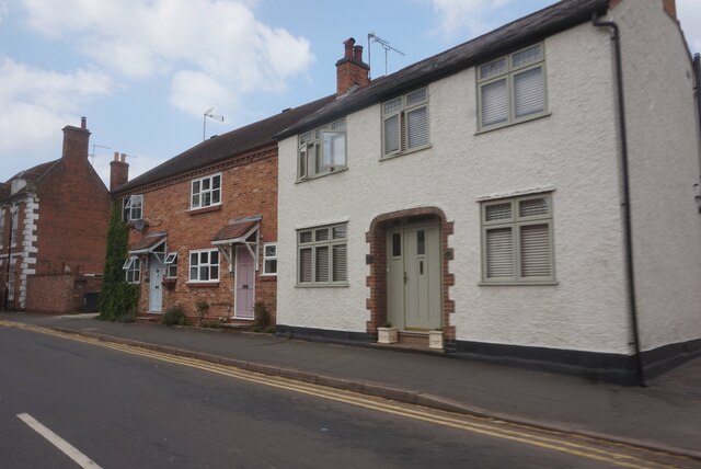
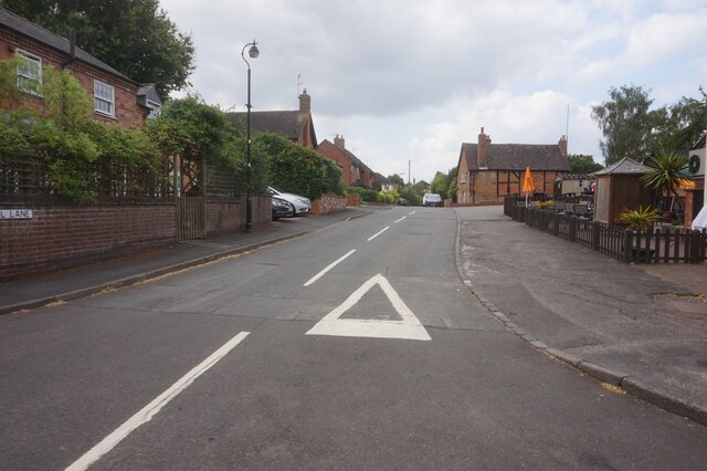
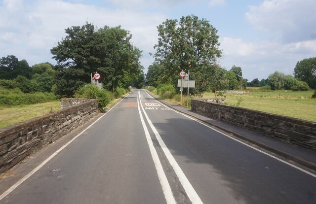
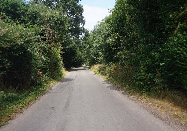
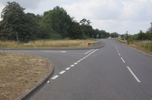
Longbridge Images
Images are sourced within 2km of 52.260513/-1.605546 or Grid Reference SP2762. Thanks to Geograph Open Source API. All images are credited.

Longbridge is located at Grid Ref: SP2762 (Lat: 52.260513, Lng: -1.605546)
Administrative County: Warwickshire
District: Warwick
Police Authority: Warwickshire
What 3 Words
///dress.sector.lots. Near Warwick, Warwickshire
Nearby Locations
Related Wikis

RAF Warwick
RAF Warwick is a former Royal Air Force relief landing ground located 1.7 miles (2.7 km) south west of Warwick, Warwickshire, England. RAF Warwick was...
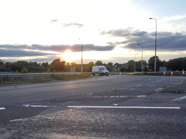
Longbridge Interchange
Longbridge Interchange (also known as Longbridge Island) is a major road and motorway junction between Warwick and Sherbourne, Warwickshire, connecting...
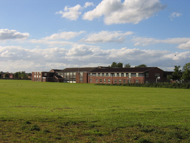
Aylesford School
Aylesford School and Sixth Form College is a coeducational all-through school and sixth form located in Warwick, England. It was constructed on part of...

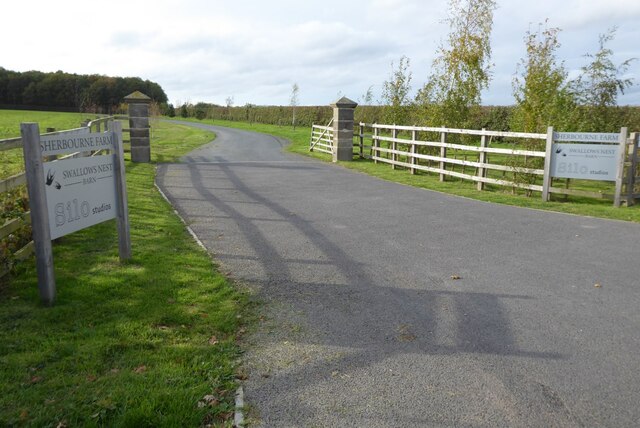
Sherbourne, Warwickshire
Sherbourne is a village and civil parish in the Warwick district of Warwickshire, England. The population of the civil parish at the 2011 Census was 174...
M40 minibus crash
On 18 November 1993, just after midnight, a minibus was involved in a fatal collision with a maintenance vehicle on the M40 motorway near Warwick, England...
Racing Club Warwick F.C.
Racing Club Warwick Football Club is a football club based in Warwick, Warwickshire, and competes in the United Counties League Premier Division South...

Barford, Warwickshire
Barford is a village and civil parish in the Warwick district of Warwickshire, England, about three miles south of Warwick. As at the 2001 census the parish...
Warwick Racecourse
Warwick Racecourse is a horse racing course in Warwick, England. It is a National Hunt racing course and has a programme of 25 meetings throughout the...
Nearby Amenities
Located within 500m of 52.260513,-1.605546Have you been to Longbridge?
Leave your review of Longbridge below (or comments, questions and feedback).