Longbridge
Settlement in Worcestershire
England
Longbridge

Longbridge is a suburban area located in Worcestershire, England. Situated approximately 8 miles south-west of the city center of Birmingham, it falls within the Bromsgrove district. Historically, Longbridge was known for its association with the British automotive industry, particularly the Longbridge plant, which was the former headquarters of the British Leyland Motor Corporation.
The area has undergone significant changes over the years. The Longbridge plant, once a thriving hub of car production, closed in 2005, resulting in the loss of thousands of jobs. However, the site has since been redeveloped, and now hosts a large retail park, along with residential and commercial spaces. The regeneration project has injected new life into the area, providing employment opportunities and attracting visitors.
Longbridge is well-connected with excellent transport links. The Longbridge railway station offers regular services to Birmingham New Street, making it a convenient location for commuters. Additionally, the area is well-served by buses, providing easy access to surrounding towns and cities.
In terms of amenities, Longbridge boasts a range of facilities to cater to its residents' needs. The retail park features a variety of shops, including supermarkets, fashion outlets, and restaurants. There are also several schools, healthcare centers, and recreational spaces, such as parks and sports facilities, providing ample opportunities for leisure activities.
Overall, Longbridge has transformed from an industrial powerhouse to a vibrant and thriving suburban area, offering a mix of retail, residential, and recreational opportunities.
If you have any feedback on the listing, please let us know in the comments section below.
Longbridge Images
Images are sourced within 2km of 52.397375/-1.983507 or Grid Reference SP0177. Thanks to Geograph Open Source API. All images are credited.


Longbridge is located at Grid Ref: SP0177 (Lat: 52.397375, Lng: -1.983507)
Unitary Authority: Birmingham
Police Authority: West Midlands
What 3 Words
///pace.gather.ridge. Near Bartley Green, West Midlands
Nearby Locations
Related Wikis

Bournville College
Bournville College is a further education college based in Longbridge, Birmingham, England. The college offers courses that include A Levels, BTECs, NVQs...
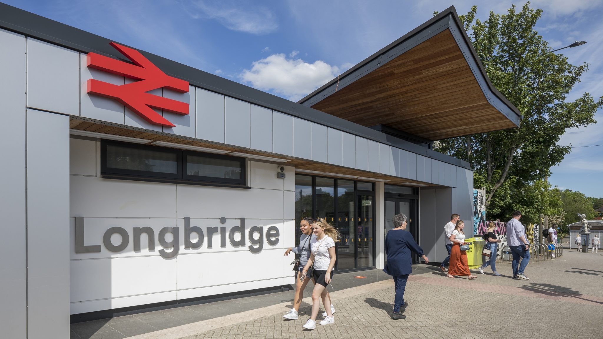
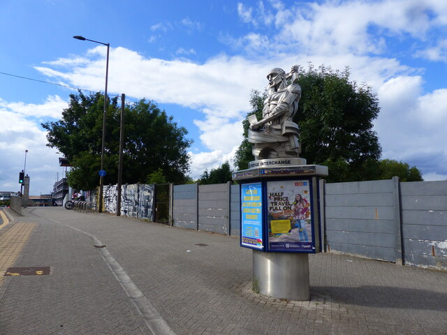
Longbridge railway station
Longbridge railway station serves the Longbridge, Rednal, Rubery and West Heath areas in the far south-west of Birmingham, England. It is on the Cross...

Birmingham Northfield (UK Parliament constituency)
Birmingham Northfield is a constituency represented in the House of Commons of the UK Parliament since 2019 by Gary Sambrook, a Conservative. It represents...

Longbridge
Longbridge is an area in the south-west of Birmingham, England, located near the border with Worcestershire, historically being within it. == Public... ==
Nearby Amenities
Located within 500m of 52.397375,-1.983507Have you been to Longbridge?
Leave your review of Longbridge below (or comments, questions and feedback).