Pen Capel Degan
Coastal Feature, Headland, Point in Pembrokeshire
Wales
Pen Capel Degan
Pen Capel Degan is a prominent coastal feature located in the county of Pembrokeshire, Wales. It is a headland that extends into the Celtic Sea, forming a distinctive point along the coastline. The name "Pen Capel Degan" translates to "Head of the Chapel of Saint Degan" in English, highlighting its historical and religious significance.
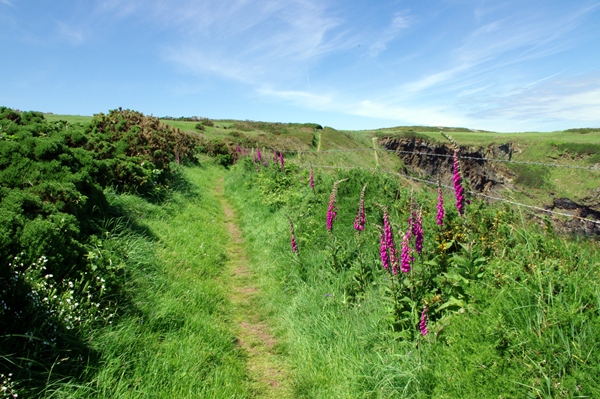
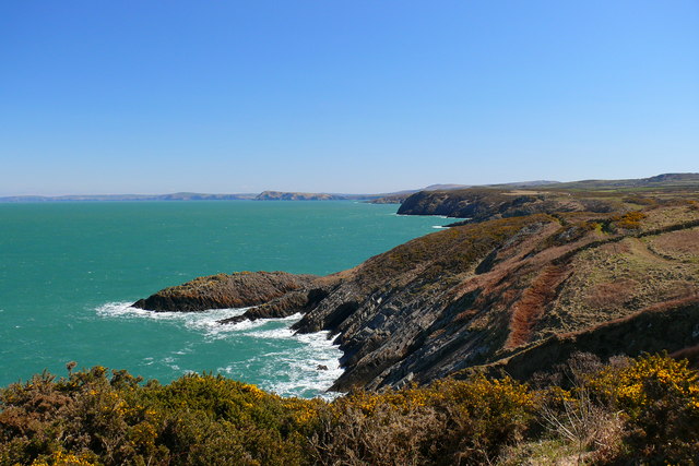
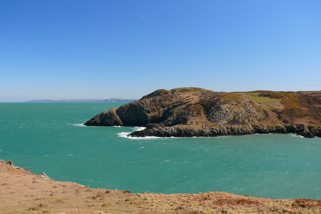
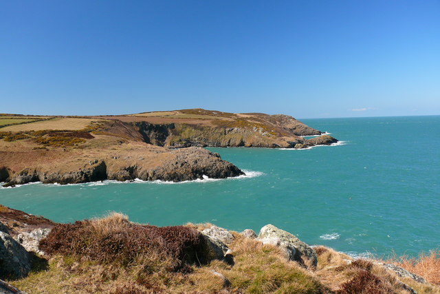
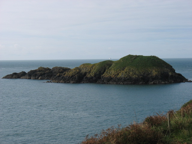
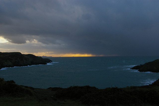
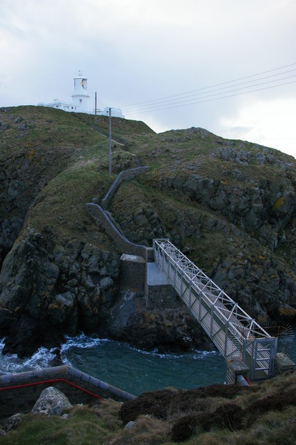
The headland is characterized by its rugged cliffs, which rise dramatically from the sea. These cliffs are composed of sedimentary rocks, displaying layers of different colors and textures, providing a visually striking backdrop. Pen Capel Degan offers breathtaking panoramic views of the surrounding coastline, with its elevated position allowing visitors to see for miles in every direction.
The headland is a haven for wildlife enthusiasts, as it is home to a diverse range of flora and fauna. Seabirds such as puffins, guillemots, and razorbills can often be spotted nesting on the cliffs, while seals and dolphins can be seen swimming in the waters below. The area is also rich in marine life, making it a popular spot for fishing and diving.
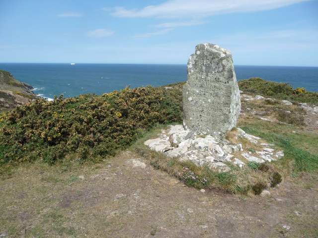
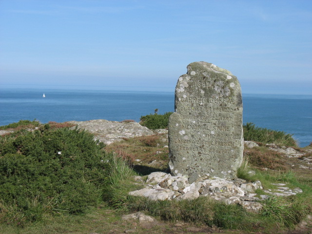
In addition to its natural beauty, Pen Capel Degan also holds historical significance. The remains of an ancient chapel dedicated to Saint Degan can still be seen on the headland, dating back to the 12th century. This adds an element of cultural heritage to the site, attracting history enthusiasts and those interested in religious landmarks.
Overall, Pen Capel Degan is a stunning coastal feature that offers a unique combination of natural beauty, wildlife, and historical significance. It is a must-visit destination for anyone exploring the Pembrokeshire coastline.
If you have any feedback on the listing, please let us know in the comments section below.
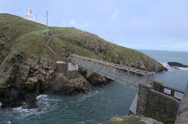
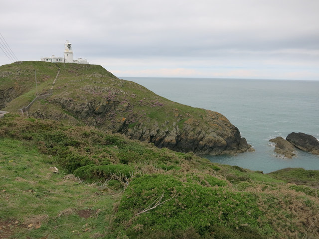
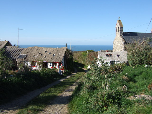
Pen Capel Degan Images
Images are sourced within 2km of 52.028058/-5.0486208 or Grid Reference SM9041. Thanks to Geograph Open Source API. All images are credited.
Pen Capel Degan is located at Grid Ref: SM9041 (Lat: 52.028058, Lng: -5.0486208)
Unitary Authority: Pembrokeshire
Police Authority: Dyfed Powys
What 3 Words
///fallen.crumbles.fits. Near Goodwick, Pembrokeshire
Nearby Locations
Related Wikis
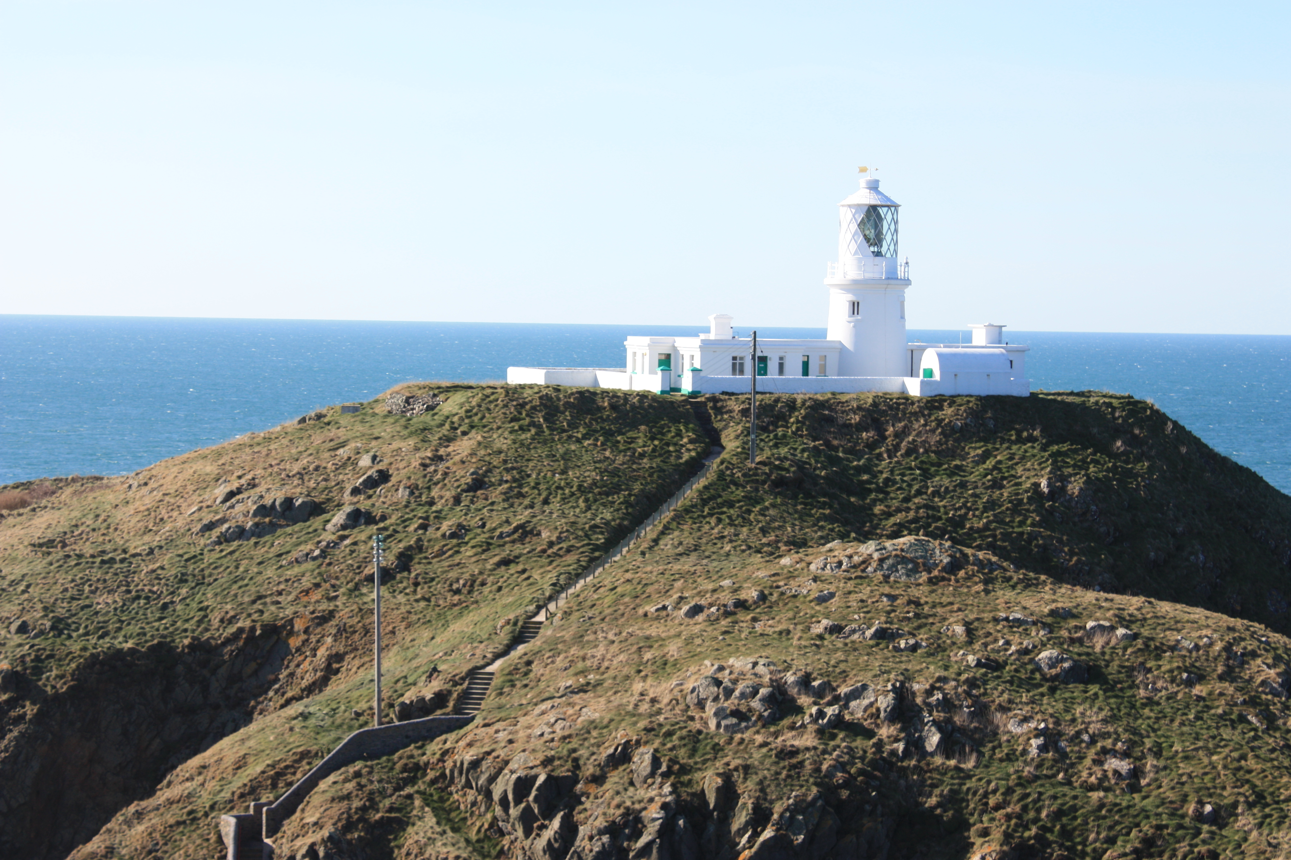
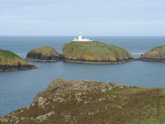
Strumble Head Lighthouse
Strumble Head Lighthouse stands on Ynys Meicel (from Welsh: St. Michael's Island), also known as Strumble Head, a rocky island at the northwest corner...

Strumble Head
Strumble Head (Welsh: Pen Caer,Trwyn-câr, Pen Strwmbl) is a rocky headland in the community of Pencaer in Pembrokeshire, Wales, within the Pembrokeshire...
Pencaer
Pencaer is a community which covers an area of dispersed settlement in Pembrokeshire, Wales, on the peninsula of Pen Caer and comprises the village of...
Llanwnda, Pembrokeshire
Llanwnda is a rural village and parish to the north of the Welsh county of Pembrokeshire and part of the community of Pencaer. It lies some two miles northwest...
Nearby Amenities
Located within 500m of 52.028058,-5.0486208Have you been to Pen Capel Degan?
Leave your review of Pen Capel Degan below (or comments, questions and feedback).