Cnwc Degan
Coastal Feature, Headland, Point in Pembrokeshire
Wales
Cnwc Degan
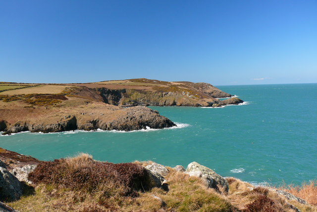
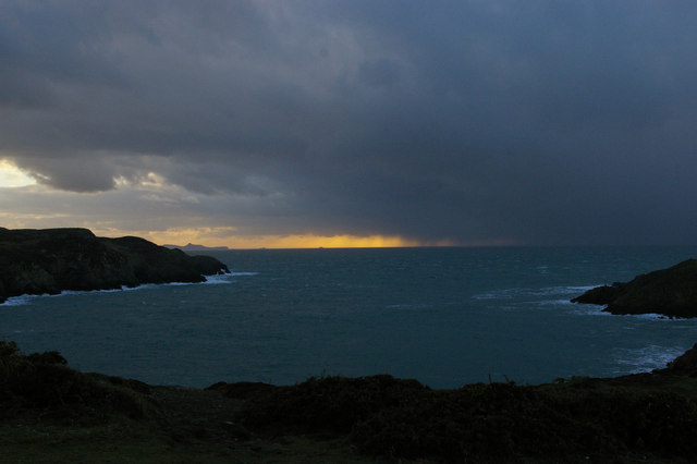
Cnwc Degan is a prominent coastal feature located in Pembrokeshire, Wales. It is classified as a headland or point, standing proudly on the rugged coastline of this western county. The headland is situated on the north side of Pembrokeshire, between the towns of Newport and Fishguard.
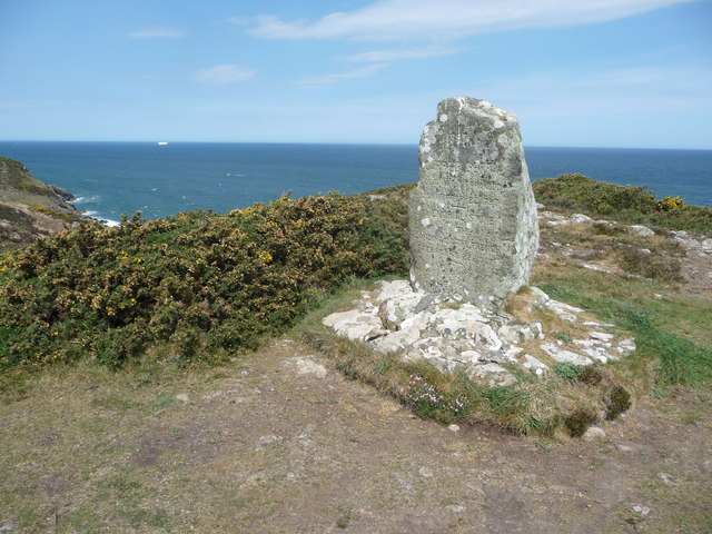
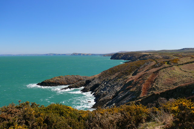
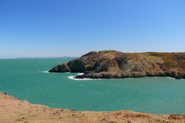
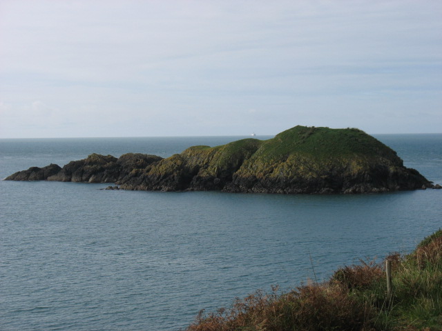
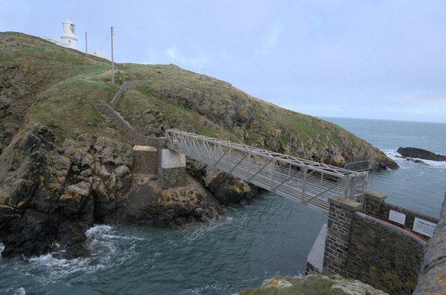
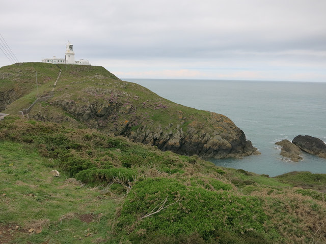
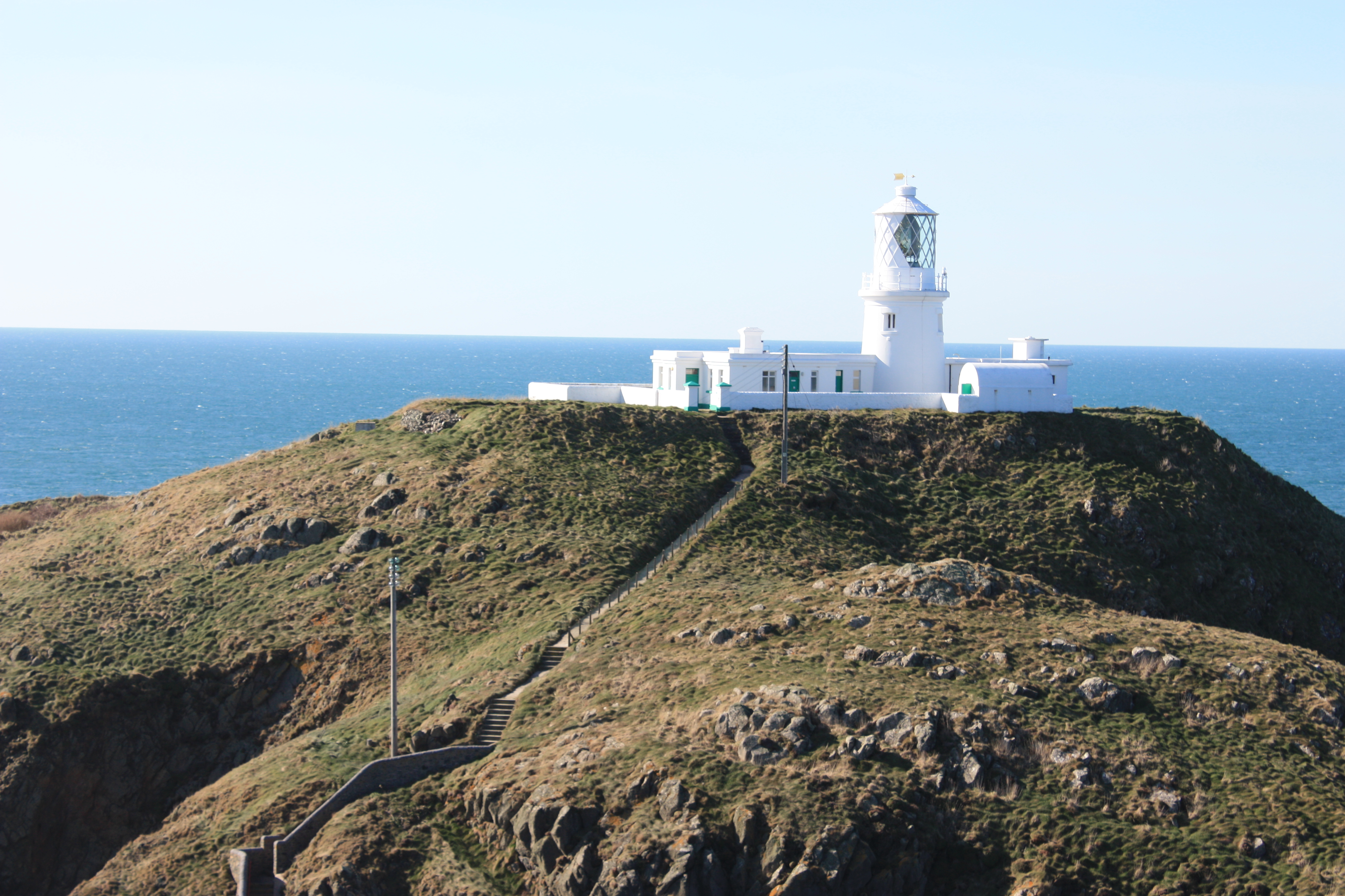
Cnwc Degan boasts a stunning landscape that is characteristic of the region. Its cliffs rise dramatically from the sea, offering breathtaking views of the surrounding area. The headland is composed of a combination of rocks and sedimentary layers, displaying the geological history of the area.
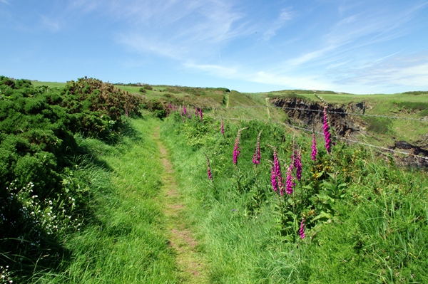
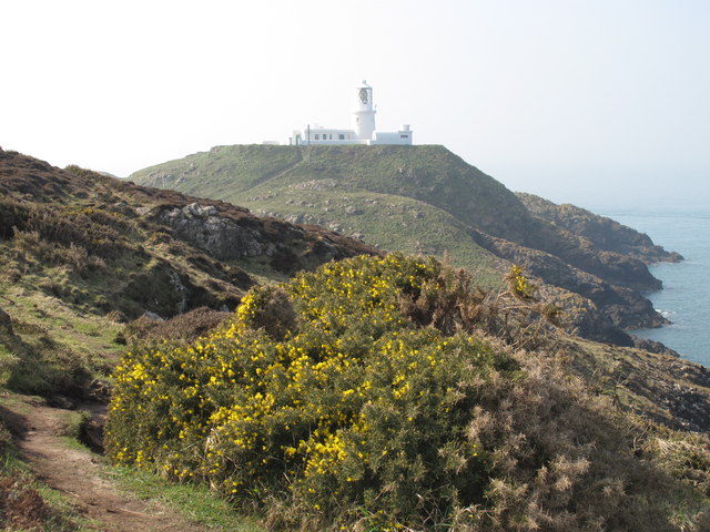
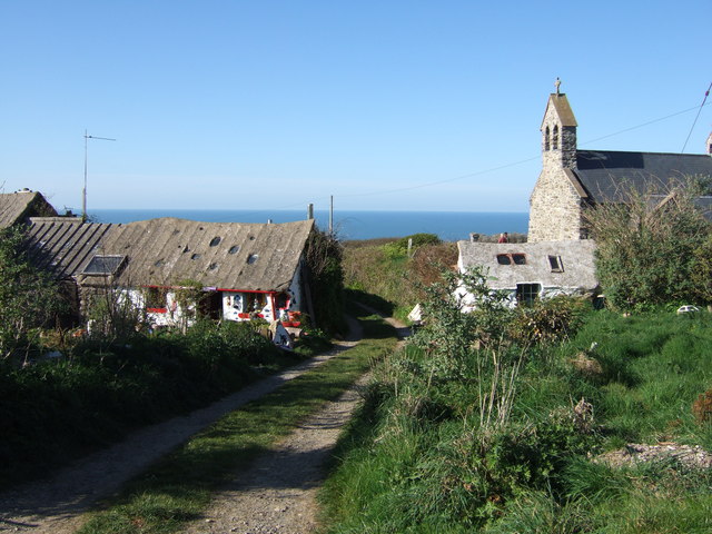
The headland is a popular destination for nature lovers and outdoor enthusiasts. It is home to a diverse range of flora and fauna, including various seabirds and coastal plants. Visitors can enjoy scenic walks along the coastal path, taking in the fresh sea air and enjoying the picturesque vistas.
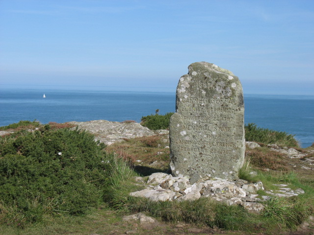
Cnwc Degan also holds historical significance. The headland is believed to have been inhabited since prehistoric times, with evidence of ancient settlements and burial sites found in the vicinity. It served as a strategic lookout point during different periods of history, including the Roman and Viking eras.
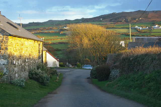
Access to Cnwc Degan is relatively easy, with designated footpaths leading to the headland from nearby villages and towns. The area is well-maintained and offers ample parking facilities for visitors. Whether it's for a leisurely stroll, birdwatching, or simply soaking in the natural beauty, Cnwc Degan is a must-visit destination for those exploring the stunning Pembrokeshire coastline.
If you have any feedback on the listing, please let us know in the comments section below.
Cnwc Degan Images
Images are sourced within 2km of 52.027268/-5.0485525 or Grid Reference SM9040. Thanks to Geograph Open Source API. All images are credited.
Cnwc Degan is located at Grid Ref: SM9040 (Lat: 52.027268, Lng: -5.0485525)
Unitary Authority: Pembrokeshire
Police Authority: Dyfed Powys
What 3 Words
///stopped.initiates.influence. Near Goodwick, Pembrokeshire
Nearby Locations
Related Wikis
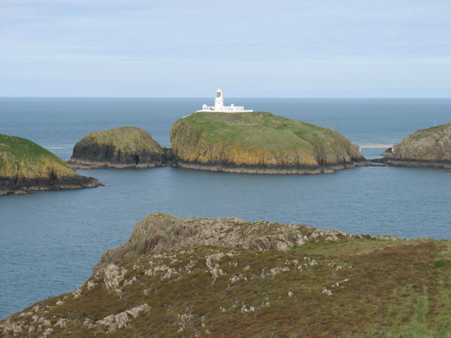
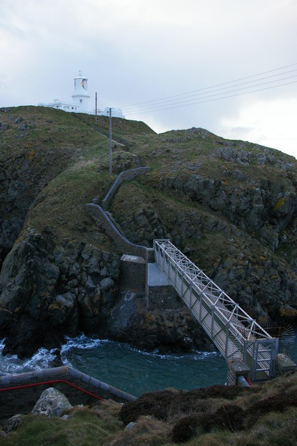
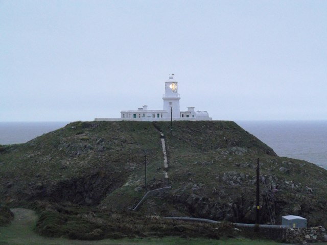
Strumble Head Lighthouse
Strumble Head Lighthouse stands on Ynys Meicel (from Welsh: St. Michael's Island), also known as Strumble Head, a rocky island at the northwest corner...

Strumble Head
Strumble Head (Welsh: Pen Caer,Trwyn-câr, Pen Strwmbl) is a rocky headland in the community of Pencaer in Pembrokeshire, Wales, within the Pembrokeshire...
Pencaer
Pencaer is a community which covers an area of dispersed settlement in Pembrokeshire, Wales, on the peninsula of Pen Caer and comprises the village of...
Llanwnda, Pembrokeshire
Llanwnda is a rural village and parish to the north of the Welsh county of Pembrokeshire and part of the community of Pencaer. It lies some two miles northwest...

Strumble Head - Llechdafad Cliffs
Strumble Head - Llechdafad Cliffs is a Site of Special Scientific Interest (SSSI) in Pembrokeshire, South Wales. It has been designated as a SSSI since...

Calburga
Calburga was a Canadian barque, the last Canadian-built square-rigger of large tonnage. She was built in 1890 at South Maitland, Nova Scotia by local shipbuilder...
Trefasser
Trefasser (variations: Tref-Asser, or Trêf Asser, or Asserton; translation: "town" of "Asser") is a hamlet, located to the west of Fishguard in western...

Fishguard and Goodwick railway station
Fishguard and Goodwick railway station is a railway station sited 1 mile from Fishguard in the neighbouring town of Goodwick, Pembrokeshire, Wales. It...
Nearby Amenities
Located within 500m of 52.027268,-5.0485525Have you been to Cnwc Degan?
Leave your review of Cnwc Degan below (or comments, questions and feedback).