Carreg Gybi
Island in Pembrokeshire
Wales
Carreg Gybi
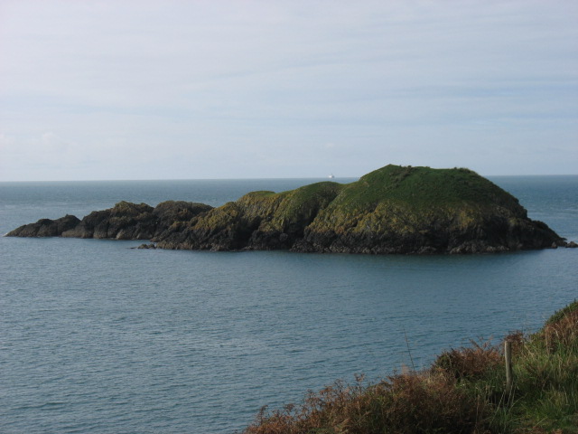
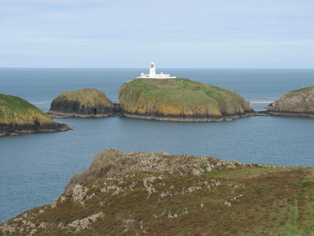
Carreg Gybi is a small uninhabited island located off the coast of Pembrokeshire, Wales. Known for its rugged beauty and rich wildlife, the island is situated approximately 1.5 kilometers west of the town of Holyhead.
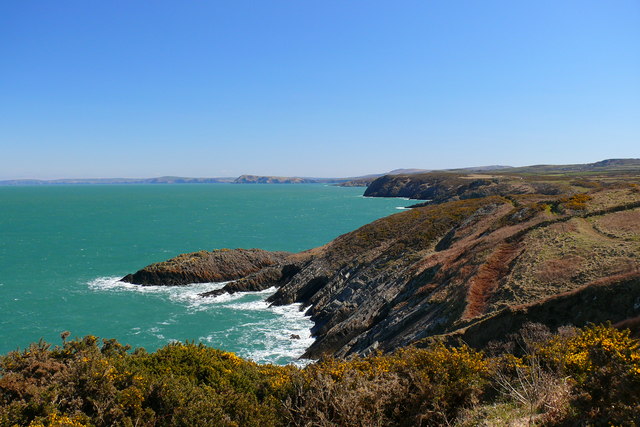
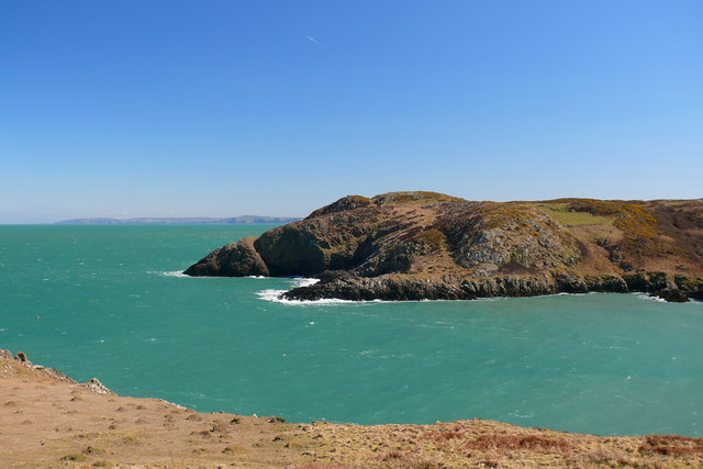
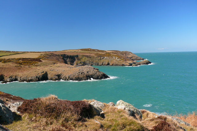
Covering an area of approximately 9 hectares, Carreg Gybi is characterized by its steep cliffs, which rise up to 60 meters above sea level. The island is predominantly formed of Precambrian quartzite, giving it a distinctive reddish hue. This geological feature has also made it a popular destination for rock climbers and geology enthusiasts.
In terms of wildlife, Carreg Gybi is a haven for seabirds. It is home to a diverse range of species, including razorbills, guillemots, puffins, and gulls, which use the cliffs as nesting sites during the breeding season. The surrounding waters are also teeming with marine life, making it a prime spot for birdwatching and snorkeling.
Access to Carreg Gybi is restricted due to its protected status as a Site of Special Scientific Interest (SSSI). Visitors are not permitted to land on the island without special permission, as it is an important breeding ground for seabirds. However, boat trips and guided tours are available from Holyhead for those wishing to explore the island from a distance.
Overall, Carreg Gybi is a stunning natural gem, offering breathtaking views, abundant wildlife, and a unique geological landscape. Its protected status ensures the preservation of its natural beauty for generations to come.
If you have any feedback on the listing, please let us know in the comments section below.
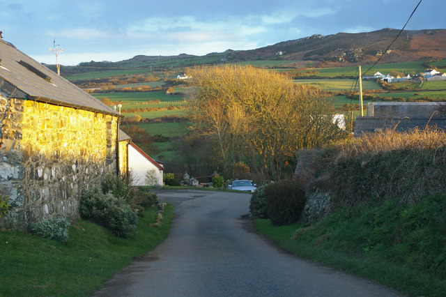
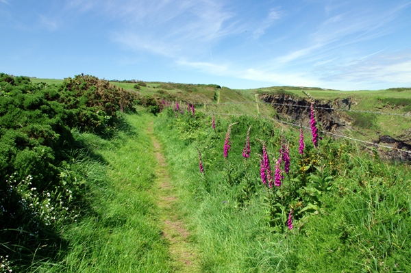
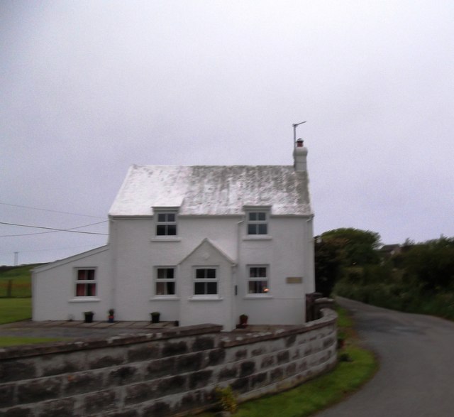
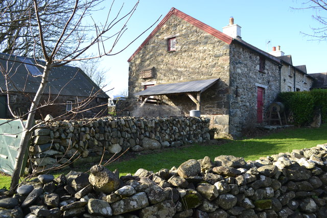
Carreg Gybi Images
Images are sourced within 2km of 52.030008/-5.0577062 or Grid Reference SM9041. Thanks to Geograph Open Source API. All images are credited.
Carreg Gybi is located at Grid Ref: SM9041 (Lat: 52.030008, Lng: -5.0577062)
Unitary Authority: Pembrokeshire
Police Authority: Dyfed Powys
What 3 Words
///remember.robes.genetics. Near Goodwick, Pembrokeshire
Nearby Locations
Related Wikis
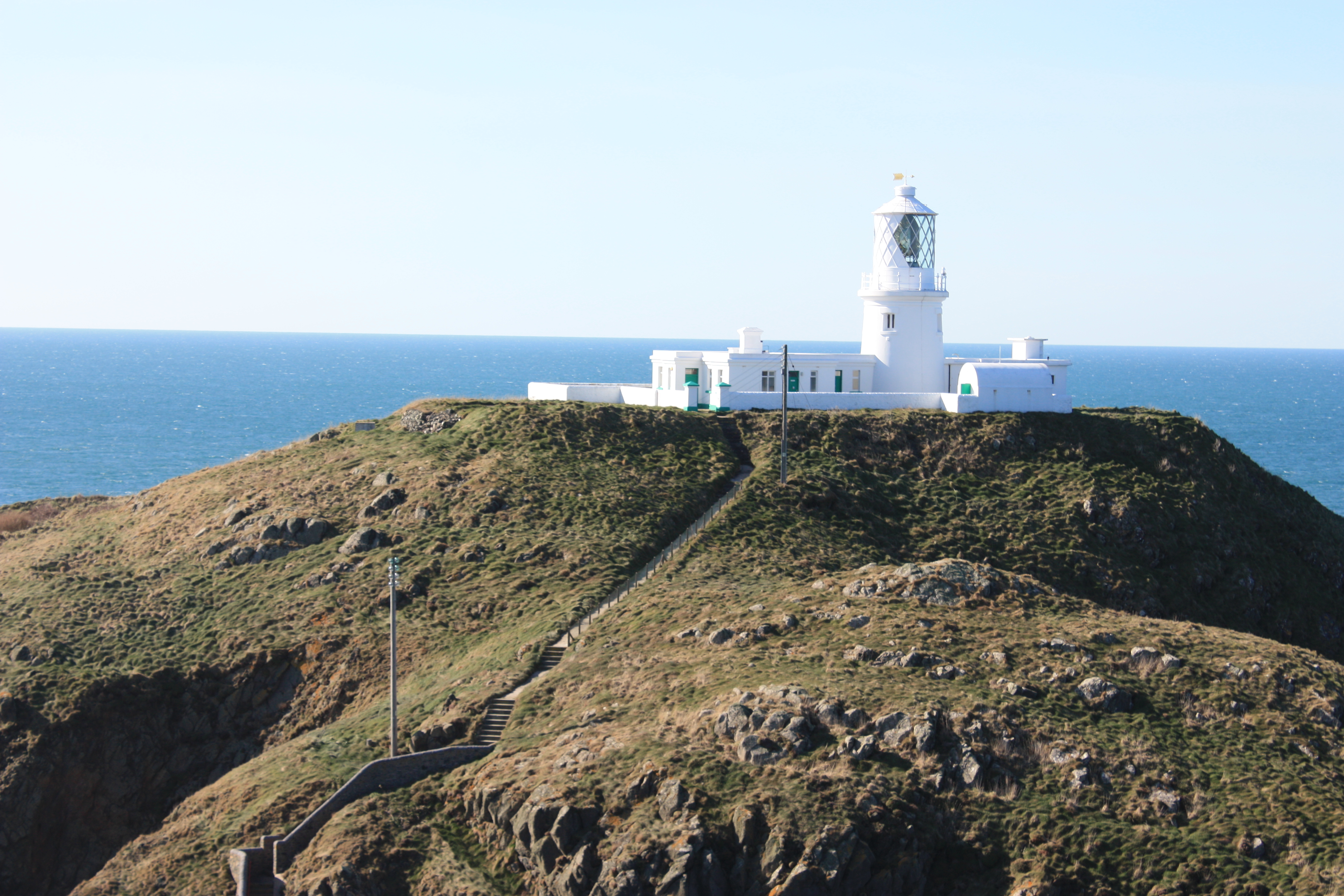
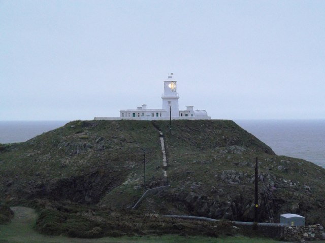
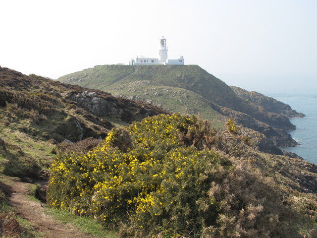
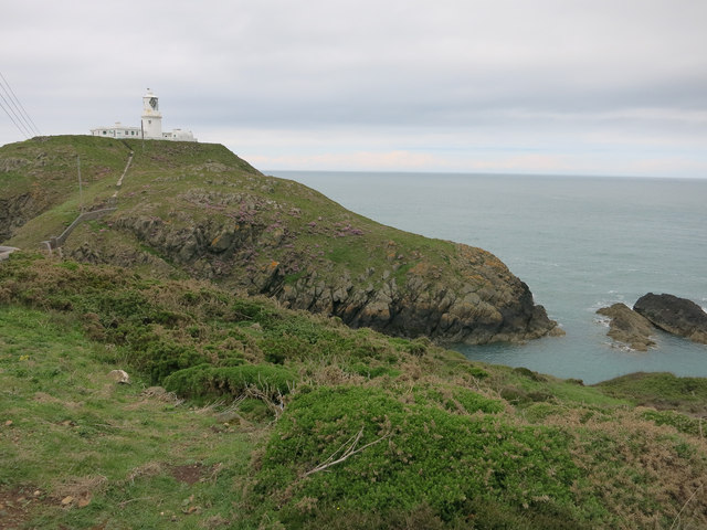
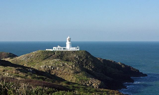
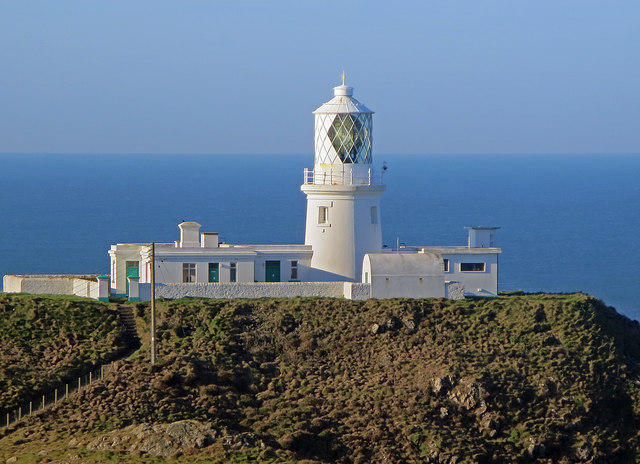
Strumble Head Lighthouse
Strumble Head Lighthouse stands on Ynys Meicel (from Welsh: St. Michael's Island), also known as Strumble Head, a rocky island at the northwest corner...

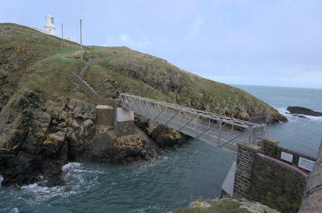
Strumble Head
Strumble Head (Welsh: Pen Caer,Trwyn-câr, Pen Strwmbl) is a rocky headland in the community of Pencaer in Pembrokeshire, Wales, within the Pembrokeshire...

Calburga
Calburga was a Canadian barque, the last Canadian-built square-rigger of large tonnage. She was built in 1890 at South Maitland, Nova Scotia by local shipbuilder...

Strumble Head - Llechdafad Cliffs
Strumble Head - Llechdafad Cliffs is a Site of Special Scientific Interest (SSSI) in Pembrokeshire, South Wales. It has been designated as a SSSI since...
Nearby Amenities
Located within 500m of 52.030008,-5.0577062Have you been to Carreg Gybi?
Leave your review of Carreg Gybi below (or comments, questions and feedback).