A' Bhratag
Coastal Feature, Headland, Point in Argyllshire
Scotland
A' Bhratag
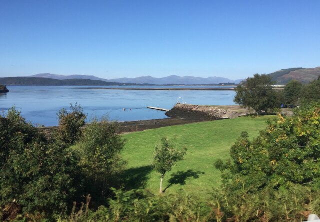
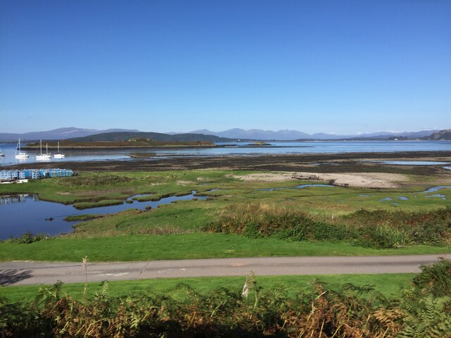
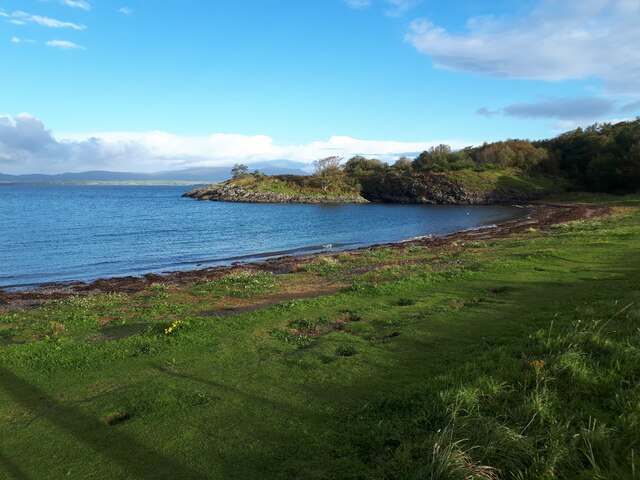
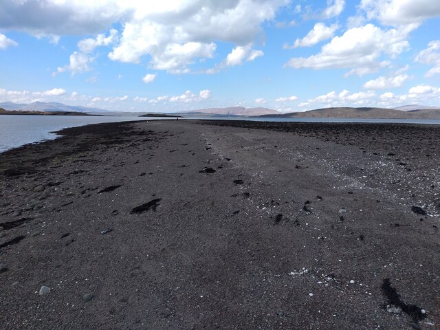
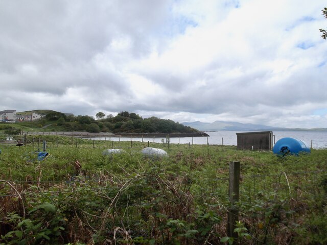
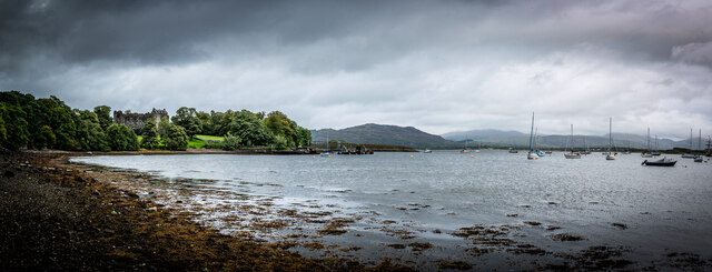
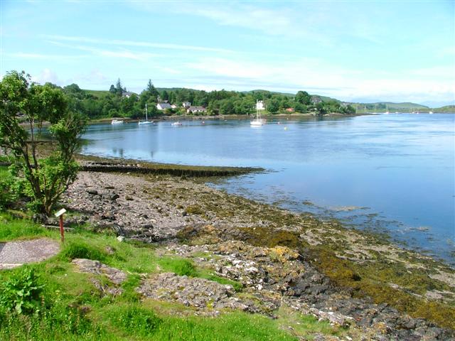
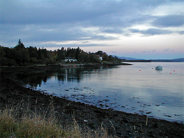
A' Bhratag is a prominent coastal feature located in Argyllshire, Scotland. It is a headland, jutting out into the sea and forming a distinctive point along the coastline. Situated in a picturesque area, it offers breathtaking views of the surrounding landscape and the vast expanse of the Atlantic Ocean.
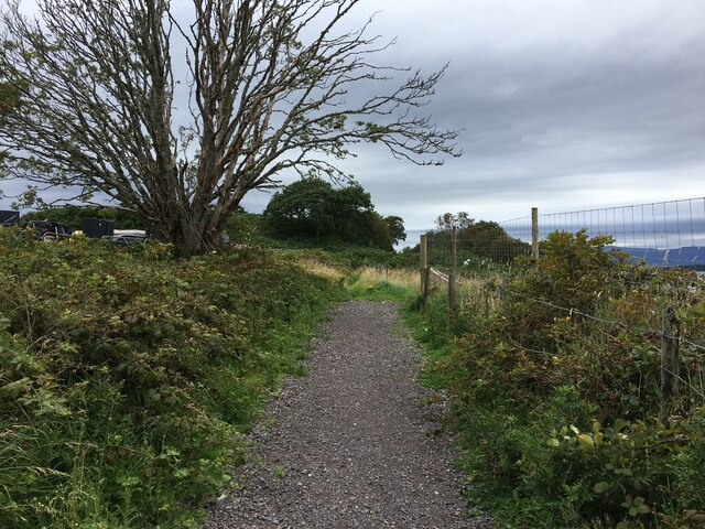
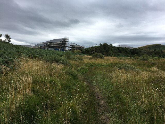
This headland is characterized by its rugged and rocky terrain, typical of the Scottish coastline. The cliffs that flank A' Bhratag are imposing and provide a dramatic backdrop to the crashing waves below. The headland itself is covered in a thick layer of lush green vegetation, giving it a vibrant and inviting appearance.
A' Bhratag is a popular destination for nature lovers and outdoor enthusiasts. The headland offers numerous walking trails, allowing visitors to explore its diverse flora and fauna. Birdwatchers can spot a variety of seabirds nesting on the cliffs, including gulls, fulmars, and puffins. Marine life is abundant in the area, with seals and dolphins often seen swimming in the waters nearby.
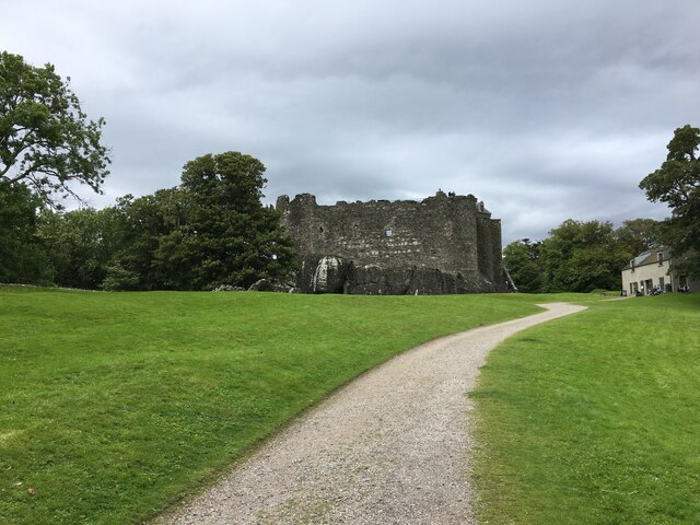
The location of A' Bhratag also holds historical significance. It is believed that the headland was once used as a lookout point by ancient Scottish clans, providing them with an advantageous vantage point to survey the surrounding area.
Overall, A' Bhratag is a majestic coastal feature that combines natural beauty, wildlife, and rich history. Its stunning views and diverse ecosystems make it a must-visit destination for those seeking an authentic Scottish coastal experience.
If you have any feedback on the listing, please let us know in the comments section below.
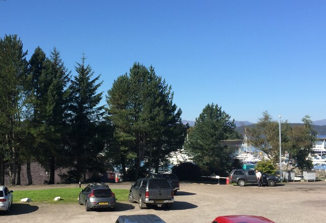
A' Bhratag Images
Images are sourced within 2km of 56.462144/-5.4285339 or Grid Reference NM8835. Thanks to Geograph Open Source API. All images are credited.

A' Bhratag is located at Grid Ref: NM8835 (Lat: 56.462144, Lng: -5.4285339)
Unitary Authority: Argyll and Bute
Police Authority: Argyll and West Dunbartonshire
What 3 Words
///dragonfly.fidgeted.napkins. Near Oban, Argyll & Bute
Nearby Locations
Related Wikis

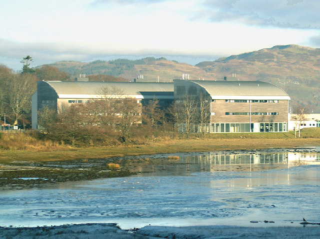
Scottish Association for Marine Science
The Scottish Association for Marine Science (SAMS) is one of Europe's leading marine science research organisations, one of the oldest oceanographic organisations...

SS Breda
SS Breda was a Dutch cargo-passenger ship sunk in Scotland during World War II. == Construction == The ship was built at the Nieuwe Waterweg Scheepsbouwmaatschappij...

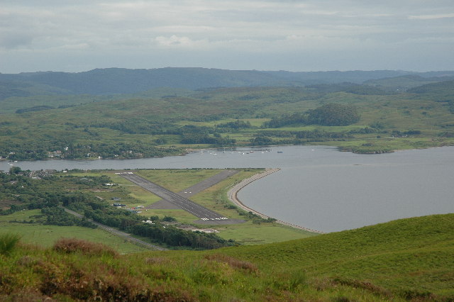
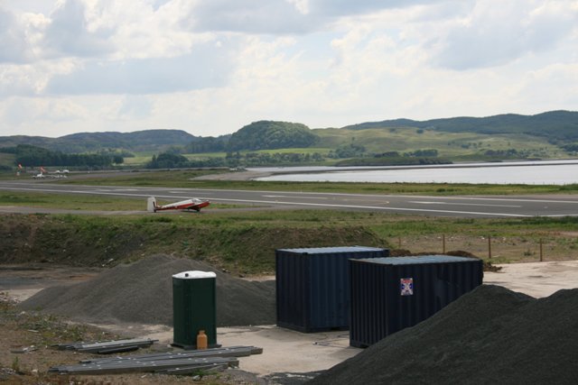
Oban Airport
Oban Airport (Scottish Gaelic: Port-adhair an Òbain) (IATA: OBN, ICAO: EGEO) is located 5 nautical miles (9.3 km; 5.8 mi) northeast of Oban, near the village...
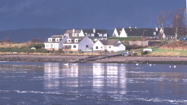
Dunbeg
Dunbeg (Scottish Gaelic: An Dùn Beag), formerly known as Dunstaffnage (Scottish Gaelic: Dùn Stafhainis or Dùn Staidhinis), is a village about 2+1⁄2 miles...
North Connel
North Connel is a hamlet on the north side of Loch Etive in Argyll and Bute, Scotland. Connel Bridge connects the community to Connel on the south shore...

North Connel railway station
North Connel was a railway station located in North Connel, Argyll and Bute, on the north shore of Loch Etive. Its location was at the north end of Connel...

Connel Bridge
Connel Bridge is a cantilever bridge that spans Loch Etive at Connel in Scotland. The bridge takes the A828 road across the narrowest part of the loch...

Falls of Lora
The Falls of Lora is a tidal race which forms at the mouth of Loch Etive when a particularly high tide runs out from the loch. They form white water rapids...
Have you been to A' Bhratag?
Leave your review of A' Bhratag below (or comments, questions and feedback).