Eilean Beag
Island in Argyllshire
Scotland
Eilean Beag
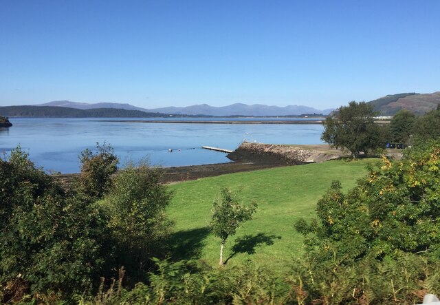
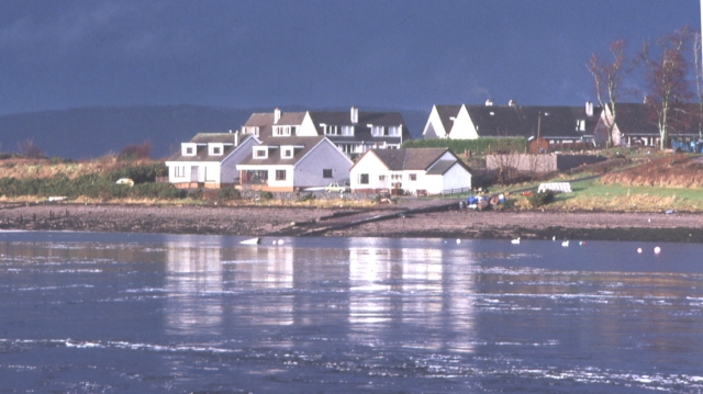
Eilean Beag is a small island located in Argyllshire, Scotland. It is situated in Loch Melfort, a sea loch on the west coast of the country. The island measures approximately 0.3 hectares (0.74 acres) in size and is uninhabited.
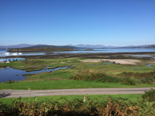
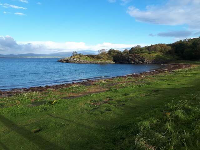
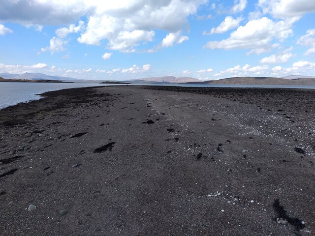
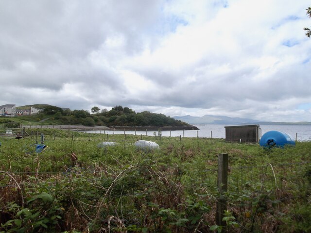
The landscape of Eilean Beag is characterized by rugged terrain, with rocky outcrops and sparse vegetation. The island is covered with grasses, mosses, and heather, giving it a wild and untouched appearance. It is surrounded by clear blue waters, offering picturesque views of the surrounding mountains and the nearby mainland.
The wildlife on Eilean Beag is diverse and abundant. Seabirds such as guillemots, razorbills, and cormorants can be spotted nesting on the cliffs, while grey seals are often seen basking on the rocks. The waters around the island are home to a variety of fish, making it a popular spot for anglers.
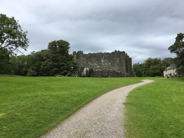
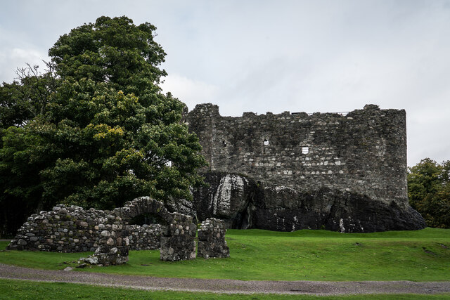
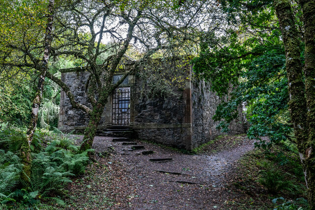
Although Eilean Beag is uninhabited, it has a rich history. The remains of an ancient settlement and a burial ground can be found on the island, indicating that it was once inhabited in the past. The island also has a small lighthouse, built in the 19th century, which still operates today to guide ships through the treacherous waters of Loch Melfort.
Eilean Beag is a popular destination for nature lovers and outdoor enthusiasts. Visitors can explore the island's rugged coastline, go birdwatching, or simply enjoy the tranquility and natural beauty of this remote Scottish island.
If you have any feedback on the listing, please let us know in the comments section below.
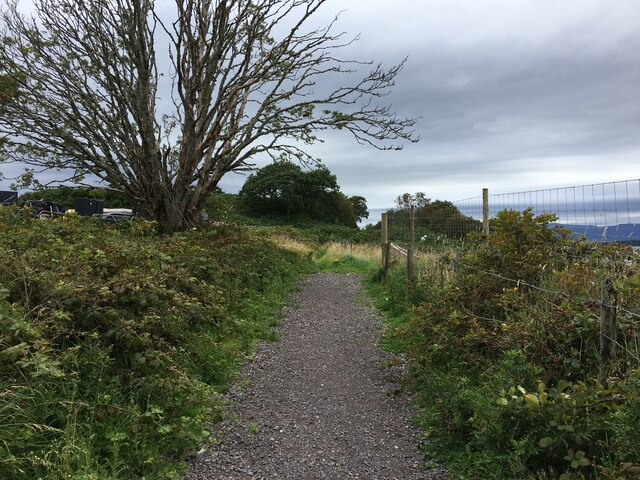
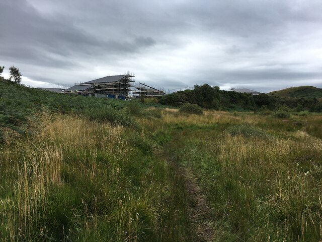
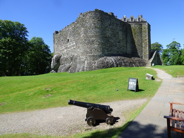
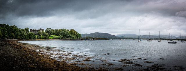
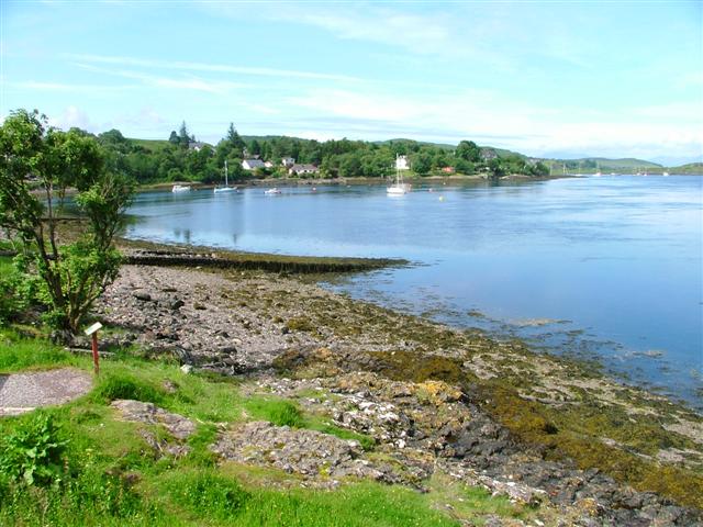
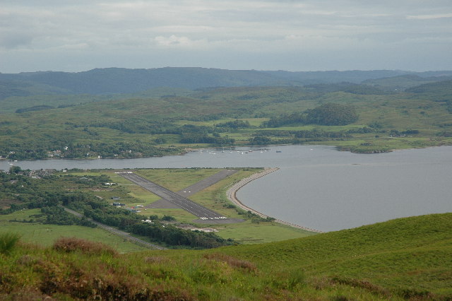
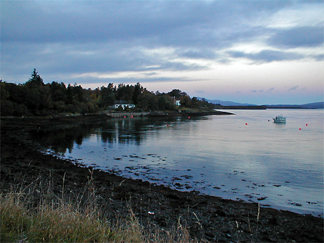
Eilean Beag Images
Images are sourced within 2km of 56.461312/-5.427111 or Grid Reference NM8835. Thanks to Geograph Open Source API. All images are credited.


Eilean Beag is located at Grid Ref: NM8835 (Lat: 56.461312, Lng: -5.427111)
Unitary Authority: Argyll and Bute
Police Authority: Argyll and West Dunbartonshire
What 3 Words
///pressing.shatters.grapes. Near Oban, Argyll & Bute
Nearby Locations
Related Wikis

Scottish Association for Marine Science
The Scottish Association for Marine Science (SAMS) is one of Europe's leading marine science research organisations, one of the oldest oceanographic organisations...

SS Breda
SS Breda was a Dutch cargo-passenger ship sunk in Scotland during World War II. == Construction == The ship was built at the Nieuwe Waterweg Scheepsbouwmaatschappij...

Oban Airport
Oban Airport (Scottish Gaelic: Port-adhair an Òbain) (IATA: OBN, ICAO: EGEO) is located 5 nautical miles (9.3 km; 5.8 mi) northeast of Oban, near the village...
North Connel
North Connel is a hamlet on the north side of Loch Etive in Argyll and Bute, Scotland. Connel Bridge connects the community to Connel on the south shore...
Nearby Amenities
Located within 500m of 56.461312,-5.427111Have you been to Eilean Beag?
Leave your review of Eilean Beag below (or comments, questions and feedback).