Carreg Onnen
Island in Pembrokeshire
Wales
Carreg Onnen
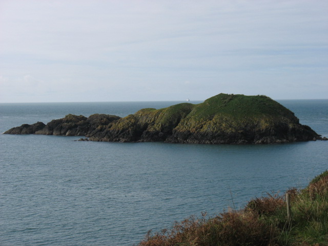
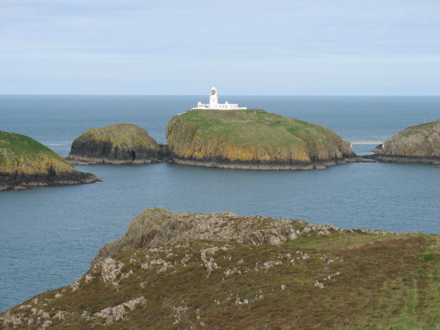
Carreg Onnen is a small uninhabited island located off the coast of Pembrokeshire, Wales. It is situated approximately 1 mile northwest of the mainland, near the town of Newport. The island is accessible by boat or kayak, and its size measures approximately 650 meters long and 200 meters wide.
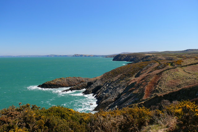
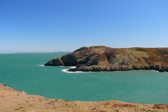
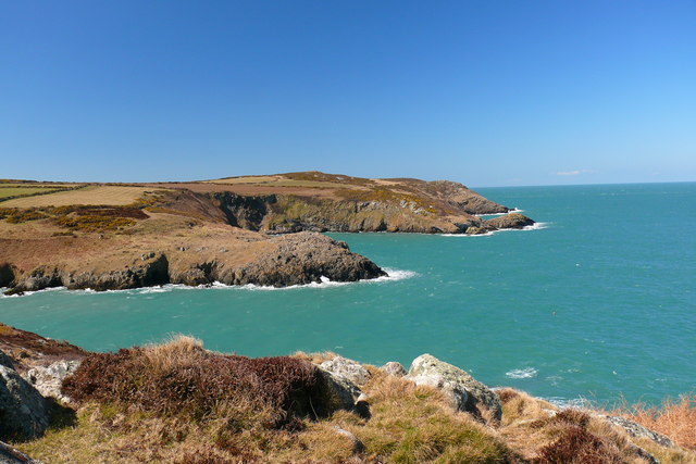
The island is characterized by its rugged and rocky terrain, with cliffs rising up to 30 meters in certain areas. It is covered in a variety of vegetation, including grasses, shrubs, and some trees, which provide habitat for various bird species. The surrounding waters are also rich in marine life, making it a popular spot for fishing and diving enthusiasts.
Carreg Onnen offers stunning views of the Pembrokeshire coastline and is a popular destination for day trips and nature exploration. Visitors can enjoy walking along the coastal paths, observing the diverse flora and fauna, and taking in the peaceful atmosphere of this secluded island. The island's rocky shores are home to a variety of seabirds, such as guillemots, razorbills, and kittiwakes.
Due to its uninhabited nature, there are no facilities or amenities on Carreg Onnen, making it necessary for visitors to bring their own supplies and adhere to a "leave no trace" policy. The island is protected as part of the Pembrokeshire Coast National Park, ensuring the preservation of its natural beauty and wildlife.
If you have any feedback on the listing, please let us know in the comments section below.
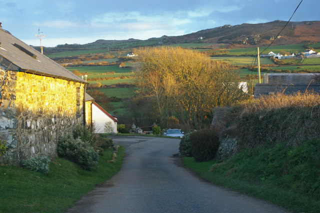
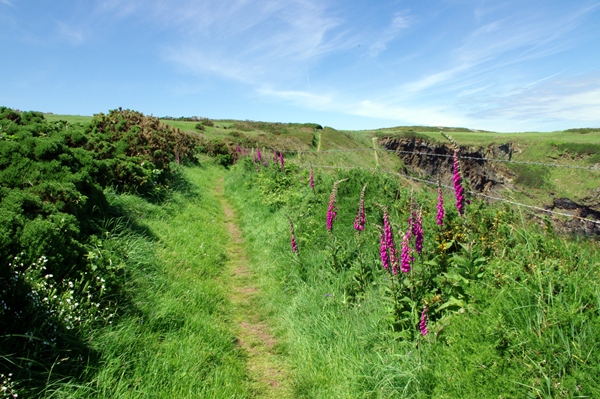
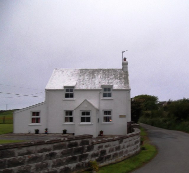
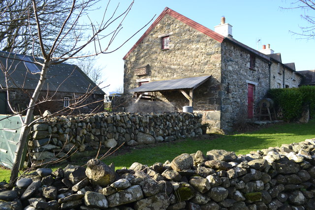
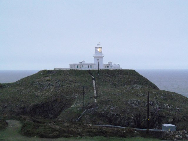
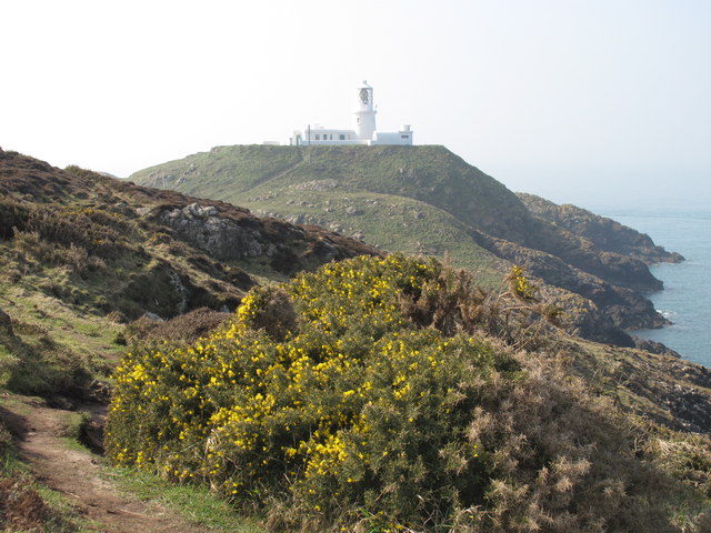
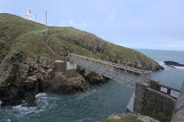
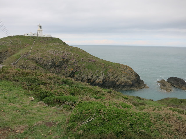
Carreg Onnen Images
Images are sourced within 2km of 52.028099/-5.078834 or Grid Reference SM8841. Thanks to Geograph Open Source API. All images are credited.
Carreg Onnen is located at Grid Ref: SM8841 (Lat: 52.028099, Lng: -5.078834)
Unitary Authority: Pembrokeshire
Police Authority: Dyfed Powys
What 3 Words
///tickling.erupt.olive. Near Goodwick, Pembrokeshire
Nearby Locations
Related Wikis

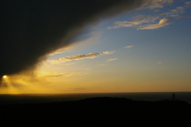
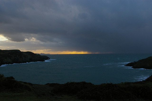
Strumble Head
Strumble Head (Welsh: Pen Caer,Trwyn-câr, Pen Strwmbl) is a rocky headland in the community of Pencaer in Pembrokeshire, Wales, within the Pembrokeshire...
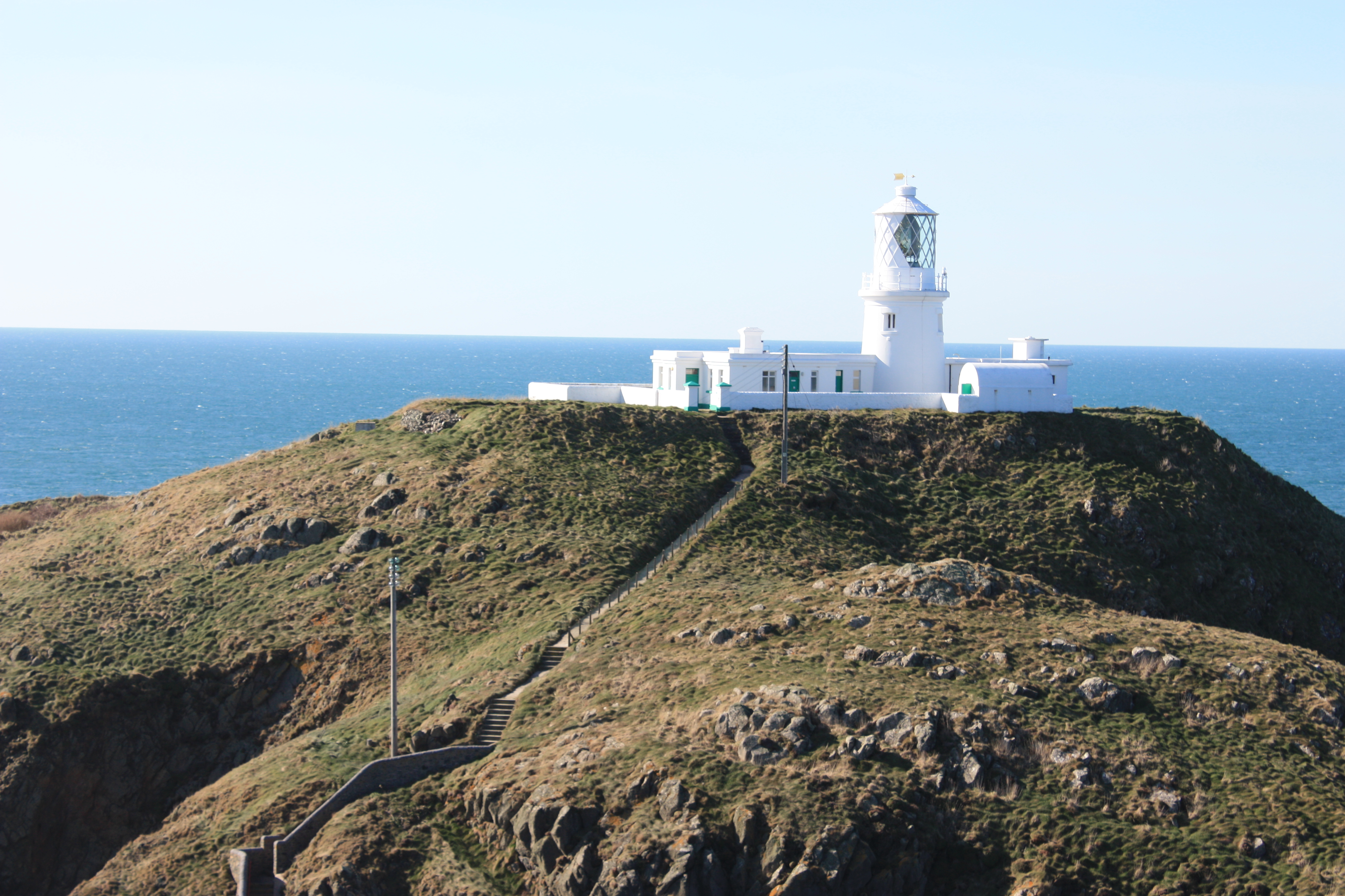
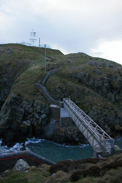
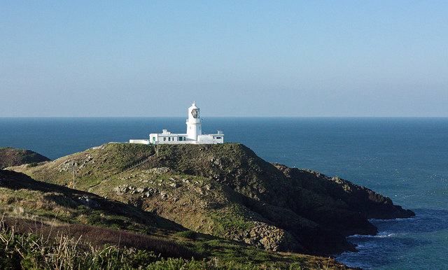
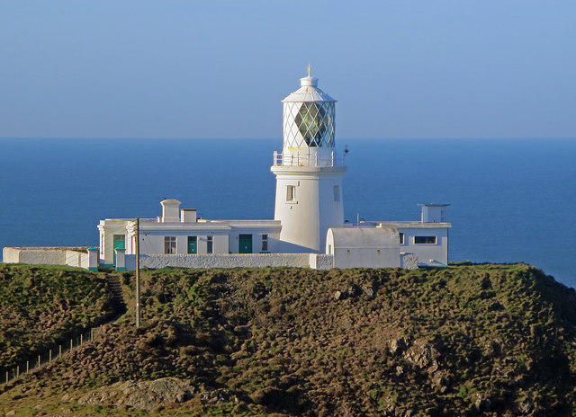
Strumble Head Lighthouse
Strumble Head Lighthouse stands on Ynys Meicel (from Welsh: St. Michael's Island), also known as Strumble Head, a rocky island at the northwest corner...

Calburga
Calburga was a Canadian barque, the last Canadian-built square-rigger of large tonnage. She was built in 1890 at South Maitland, Nova Scotia by local shipbuilder...

Strumble Head - Llechdafad Cliffs
Strumble Head - Llechdafad Cliffs is a Site of Special Scientific Interest (SSSI) in Pembrokeshire, South Wales. It has been designated as a SSSI since...
Nearby Amenities
Located within 500m of 52.028099,-5.078834Have you been to Carreg Onnen?
Leave your review of Carreg Onnen below (or comments, questions and feedback).