Carraig an Lèim

Coastal Feature, Headland, Point in Argyllshire

Scotland

Carraig an Lèim

Torrisdale Square, Kintyre
Torrisdale Square, Kintyre Credit: Alpin Stewart

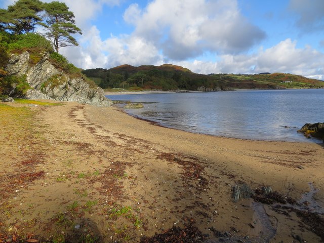
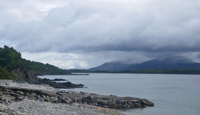
Carraig an Lèim, located in Argyllshire, Scotland, is a prominent coastal feature known for its picturesque headland and dramatic point. It is situated in a secluded and rugged area, offering breathtaking views of the surrounding landscape and the vast expanse of the Atlantic Ocean.

The headland of Carraig an Lèim is characterized by steep cliffs that provide a natural barrier against the crashing waves. These cliffs, composed of ancient rocks, showcase unique geological formations and provide a habitat for a diverse range of plant and animal species. The headland is also home to several nesting birds, such as puffins, guillemots, and razorbills, making it a popular spot for birdwatchers and nature enthusiasts.

At the tip of Carraig an Lèim, a striking point juts out into the ocean, creating a mesmerizing sight. This point is often battered by strong winds and powerful waves, creating an awe-inspiring display of nature's force. It serves as a landmark for sailors and fishermen, guiding them safely along the coast. Additionally, the point is a popular spot for anglers, who can often be seen casting their lines into the deep, crystal-clear waters in search of fish.

Carraig an Lèim is a place of natural beauty and tranquility, attracting visitors from near and far. Its rugged cliffs, diverse wildlife, and stunning coastal views make it a must-visit destination for those seeking a connection with nature and a sense of adventure.

If you have any feedback on the listing, please let us know in the comments section below.

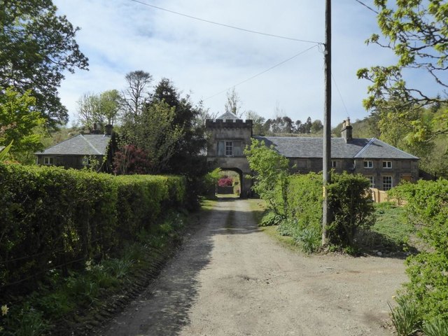
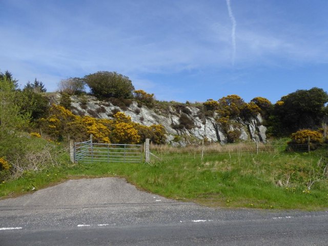
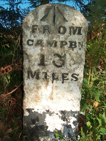
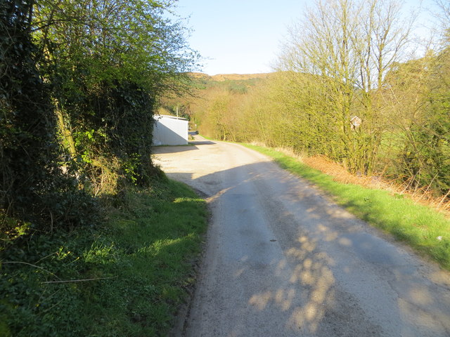
Carraig an Lèim Images

Images are sourced within 2km of 55.57514/-5.4655976 or Grid Reference NR8136. Thanks to Geograph Open Source API. All images are credited.

Torrisdale Square, Kintyre
Disused quarry by the B842
Old Milestone by the B842, Torrisdale, Saddell and Skipness parish Stone post by the B842, East side of road, in parish of Saddell and Skipness (Kintyre District), Torrisdale, Kintyre, North of the bay.

Inscription reads:-
FROM
CAMPBN
13
MILES
Carved bench mark on top.

Surveyed

Milestone Society National ID: AB_CTCN13
Old Milestone by the B842, Torrisdale, Saddell and Skipness parish
Stone post by the B842, East side of road, in parish of Saddell and Skipness (Kintyre District), Torrisdale, Kintyre, North of the bay. Inscription reads:- FROM CAMPBN 13 MILES Carved bench mark on top. Surveyed Milestone Society National ID: AB_CTCN13
Road from Waterfoot to Dippen and Bridgend at Carradale Looking westward
Road from Waterfoot to Dippen and Bridgend at Carradale
Looking westward
Torrisdale Bay (North) Looking north-eastward towards Dippen Bay.
Torrisdale Bay (North)
Looking north-eastward towards Dippen Bay.
Torrisdale Bay
Torrisdale Bay
Milestone alongside the B842 - 'CAMPBn 13 MILES' Carved milestone on the east side of the B842, in parish of Saddell & Skipness (Kintyre District), Torrisdale, Kintyre, N of the bay.  The stone also has an 

Inscription reads:- : FROM / CAMPBn / 13 / MILES :
Ordnance Survey bench mark on top. 

Surveyed

Milestone Society National ID: AB_CTCN13
Milestone alongside the B842 - 'CAMPBn 13 MILES'
Carved milestone on the east side of the B842, in parish of Saddell & Skipness (Kintyre District), Torrisdale, Kintyre, N of the bay. The stone also has an Inscription reads:- : FROM / CAMPBn / 13 / MILES : Ordnance Survey bench mark on top. Surveyed Milestone Society National ID: AB_CTCN13
The New Slipway at Port Crannaich Carradale Harbour
The New Slipway at Port Crannaich
Carradale Harbour
Harbour clutter Some of the large amount of industrial material, apparently associated with fish-farming, that was lying on the rock-fill by the recently constructed slipway
Harbour clutter
Some of the large amount of industrial material, apparently associated with fish-farming, that was lying on the rock-fill by the recently constructed slipway
Deformed schist outcrops Rocks exposed on the upper shore and kept clean by marine erosion are of Dalradian schist. The almost-vertical dip of the foliation and the attractive greenish-grey colour tell of metamorphism, but there is also deformation. The beds have yielded to shear along the foliation and been subjected to injection of quartz veins which sometimes follow the foliation, but more often snake around areas where the strain was greatest.
Deformed schist outcrops
Rocks exposed on the upper shore and kept clean by marine erosion are of Dalradian schist. The almost-vertical dip of the foliation and the attractive greenish-grey colour tell of metamorphism, but there is also deformation. The beds have yielded to shear along the foliation and been subjected to injection of quartz veins which sometimes follow the foliation, but more often snake around areas where the strain was greatest.
Bus terminus A bus belonging to West Coast Motors is laying-over at the terminus by the harbour at 13:15h before returning to Campbeltown. The vehicle is an Alexander Dennis Enviro 200, registration number M200 WCM and running with fleet number 10721.
Bus terminus
A bus belonging to West Coast Motors is laying-over at the terminus by the harbour at 13:15h before returning to Campbeltown. The vehicle is an Alexander Dennis Enviro 200, registration number M200 WCM and running with fleet number 10721.
Carradale - Road near the Pier Wikipedia : <span class="nowrap"><a title="https://en.wikipedia.org/wiki/Carradale" rel="nofollow ugc noopener" href="https://en.wikipedia.org/wiki/Carradale">Link</a><img style="margin-left:2px;" alt="External link" title="External link - shift click to open in new window" src="https://s1.geograph.org.uk/img/external.png" width="10" height="10"/></span>
Carradale - Road near the Pier
Wikipedia : LinkExternal link
Carradale pier, Port Crannaich
Carradale Harbour, eastern side of Kintyre Peninsula Carradale Harbour, with Arran in the background.
Carradale Harbour, eastern side of Kintyre Peninsula
Carradale Harbour, with Arran in the background.
Carradale pier, Port Crannaich
Carradale Harbour Carradale Harbour is located about half way along the east side of the Kintyre Peninsula. A small fleet of fishing boats uses the harbour.
Arran can be seen across Kilbrannan Sound to the right.
Carradale Harbour
Carradale Harbour is located about half way along the east side of the Kintyre Peninsula. A small fleet of fishing boats uses the harbour. Arran can be seen across Kilbrannan Sound to the right.
Dusk at Carradale Harbour Dusk at Carradale Harbour on a beautiful July evening as the sun moves behind the hills.
Dusk at Carradale Harbour
Dusk at Carradale Harbour on a beautiful July evening as the sun moves behind the hills.
B879 near Carradale House
Show me another place!

Carraig an Lèim is located at Grid Ref: NR8136 (Lat: 55.57514, Lng: -5.4655976)

Unitary Authority: Argyll and Bute

Police Authority: Argyll and West Dunbartonshire

What 3 Words

///gradually.regrowth.spoiled. Near Blackwaterfoot, North Ayrshire

Related Wikis

Carradale Point Fort

Carradale Point Fort is a promontory vitrified fort on Carradale Point near Carradale, Argyll and Bute, Scotland. The fort measures 56.5 metres (185 ft...

Carradale House, Argyll and Bute

Carradale House is a Grade B listed mansion house near Carradale, Argyll and Bute, Scotland. Built in the 17th century, the house was extended in 1844...

Airds Castle

Airds Castle is a ruined medieval castle near Carradale, Kintyre, Argyll and Bute, Scotland. The castle held a position on the summit of a rocky headland...

Dippen Bay

Dippen Bay is an embayment along Kilbrannan Sound on the east coast of the Kintyre Peninsula in Scotland. Coastal erosion has been documented at Dippen...

Nearby Amenities

Located within 500m of 55.57514,-5.4655976
Source: PGS
Lat/Long: 55.5766373/-5.4583929
Source: PGS
Lat/Long: 55.5769366/-5.4587163
Source: PGS
Lat/Long: 55.5790768/-5.4693077
Source: PGS
Lat/Long: 55.5785672/-5.4686305
Source: PGS
Lat/Long: 55.5781464/-5.4687365
Source: PGS
Lat/Long: 55.5779622/-5.4687888
Source: PGS
Lat/Long: 55.5777495/-5.4687575
Source: PGS
Lat/Long: 55.5774763/-5.4689021
Source: PGS
Lat/Long: 55.5771692/-5.4688387
Source: PGS
Lat/Long: 55.5767539/-5.468726
Source: PGS
Lat/Long: 55.5758514/-5.4681472
Source: PGS
Lat/Long: 55.5753455/-5.4681581
Source: PGS
Lat/Long: 55.575135/-5.4687697
Source: PGS
Lat/Long: 55.5749275/-5.4688074
Source: PGS
Lat/Long: 55.5739195/-5.4686091
Source: PGS
Lat/Long: 55.5738317/-5.4685947
Source: PGS
Lat/Long: 55.573699/-5.46852
Source: PGS
Lat/Long: 55.5735356/-5.4683011
Source: PGS
Lat/Long: 55.5734065/-5.4682827
Source: PGS
Lat/Long: 55.5731956/-5.4682472
Source: PGS
Lat/Long: 55.5729836/-5.4683243
Source: PGS
Lat/Long: 55.5728226/-5.4683244
Source: PGS
Lat/Long: 55.5725211/-5.4682601
Source: PGS
Lat/Long: 55.5718756/-5.4678147
Source: PGS
Lat/Long: 55.5715392/-5.4671859
Source: PGS
Lat/Long: 55.5711574/-5.4667954
Source: PGS
Lat/Long: 55.5712227/-5.466563
Source: PGS
Lat/Long: 55.5711652/-5.4659202
Source: PGS
Lat/Long: 55.5715249/-5.4658358
Source: PGS
Lat/Long: 55.5728585/-5.4662444
Source: PGS
Lat/Long: 55.5735023/-5.4667381
Source: PGS
Lat/Long: 55.5737785/-5.466738
Source: PGS
Lat/Long: 55.5744684/-5.4668068
Source: PGS
Lat/Long: 55.574671/-5.4659977
Source: PGS
Lat/Long: 55.5747436/-5.4648586
Source: PGS
Lat/Long: 55.5744439/-5.4625631
Source: PGS
Lat/Long: 55.5748392/-5.461718
Source: PGS
Lat/Long: 55.5752308/-5.4608016
Created By: dmgroom_coastlines
Source: PGS
Lat/Long: 55.576412/-5.46086
Source: PGS
Lat/Long: 55.5763648/-5.4601367
Created By: dmgroom_coastlines
Source: PGS
Lat/Long: 55.576174/-5.459941
Source: PGS
Lat/Long: 55.5763496/-5.4585324
The data included in this document is from www.openstreetmap.org. The data is made available under ODbL.

Have you been to Carraig an Lèim?

Leave your review of Carraig an Lèim below (or comments, questions and feedback).