Port na Doirlinn

Sea, Estuary, Creek in Argyllshire

Scotland

Port na Doirlinn

Bridgend near Carradale, Kintyre
Bridgend near Carradale, Kintyre Credit: Elliott Simpson

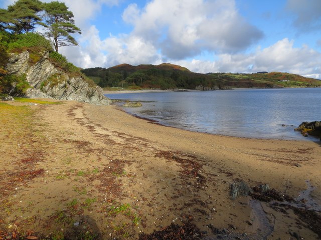
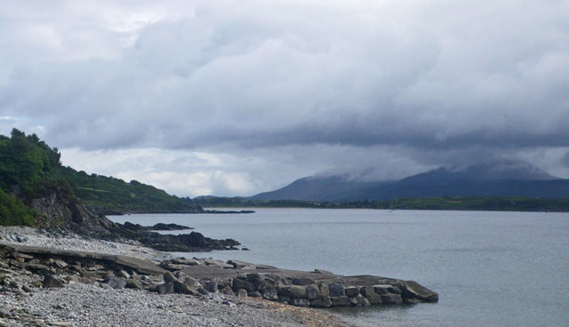
Port na Doirlinn is a picturesque coastal village located in the county of Argyllshire, Scotland. Situated on the western coast of the country, it is renowned for its stunning sea views, estuary, and creek.

The village is nestled between rugged cliffs and rolling hills, providing a breathtaking backdrop for visitors and residents alike. The sea, with its sparkling blue waters, is a prominent feature of Port na Doirlinn. Its calm and tranquil nature make it a popular spot for water activities such as fishing, boating, and swimming. The pristine sandy beaches along the coastline are perfect for sunbathing or leisurely walks.

An estuary can also be found in Port na Doirlinn, where a river meets the sea. This unique natural feature creates a diverse and thriving ecosystem, attracting a variety of bird species, including herons, gulls, and ducks. The estuary is a haven for wildlife enthusiasts and birdwatchers who can observe these creatures in their natural habitat.

Additionally, a creek runs through Port na Doirlinn, adding to its charm and providing a picturesque setting for visitors to enjoy. The creek is flanked by lush vegetation, offering a serene environment for nature lovers to explore. It is not uncommon to spot otters and seals frolicking in the creek, adding to the area's natural beauty.

Overall, Port na Doirlinn in Argyllshire is a captivating coastal village that showcases the splendor of Scotland's sea, estuary, and creek. Its idyllic setting and rich biodiversity make it a must-visit destination for those seeking a peaceful and scenic retreat.

If you have any feedback on the listing, please let us know in the comments section below.

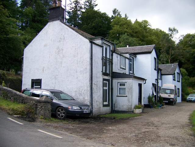
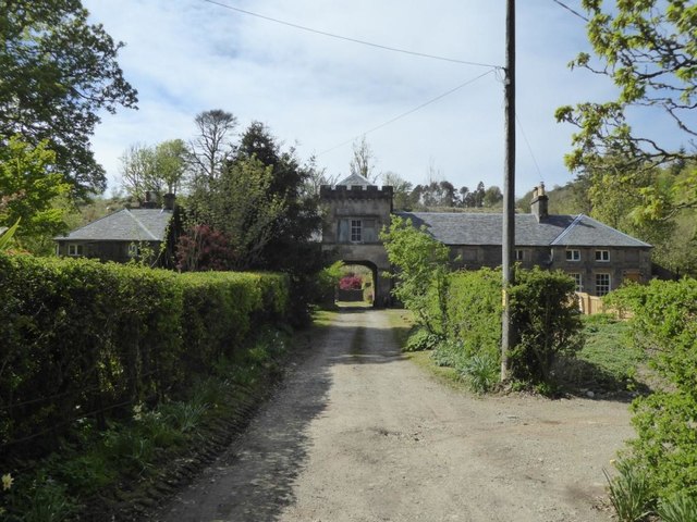
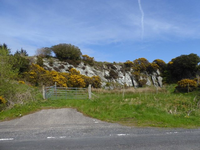
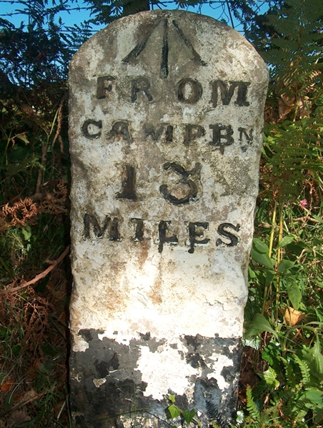
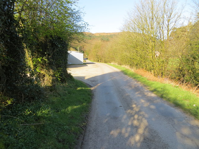
Port na Doirlinn Images

Images are sourced within 2km of 55.575827/-5.4686418 or Grid Reference NR8136. Thanks to Geograph Open Source API. All images are credited.

Bridgend near Carradale, Kintyre
Torrisdale Square, Kintyre
Disused quarry by the B842
Torrisdale Water Taken at sunrise from the bridge of the B842 at Torrisdale
Torrisdale Water
Taken at sunrise from the bridge of the B842 at Torrisdale
Old Milestone by the B842, Torrisdale, Saddell and Skipness parish Stone post by the B842, East side of road, in parish of Saddell and Skipness (Kintyre District), Torrisdale, Kintyre, North of the bay.

Inscription reads:-
FROM
CAMPBN
13
MILES
Carved bench mark on top.

Surveyed

Milestone Society National ID: AB_CTCN13
Old Milestone by the B842, Torrisdale, Saddell and Skipness parish
Stone post by the B842, East side of road, in parish of Saddell and Skipness (Kintyre District), Torrisdale, Kintyre, North of the bay. Inscription reads:- FROM CAMPBN 13 MILES Carved bench mark on top. Surveyed Milestone Society National ID: AB_CTCN13
Road from Waterfoot to Dippen and Bridgend at Carradale Looking westward
Road from Waterfoot to Dippen and Bridgend at Carradale
Looking westward
Torrisdale Bay (North) Looking north-eastward towards Dippen Bay.
Torrisdale Bay (North)
Looking north-eastward towards Dippen Bay.
Torrisdale Bay (South) Looking south-westward.
Torrisdale Bay (South)
Looking south-westward.
Torrisdale Bay
Torrisdale Bay
Milestone alongside the B842 - 'CAMPBn 13 MILES' Carved milestone on the east side of the B842, in parish of Saddell & Skipness (Kintyre District), Torrisdale, Kintyre, N of the bay.  The stone also has an 

Inscription reads:- : FROM / CAMPBn / 13 / MILES :
Ordnance Survey bench mark on top. 

Surveyed

Milestone Society National ID: AB_CTCN13
Milestone alongside the B842 - 'CAMPBn 13 MILES'
Carved milestone on the east side of the B842, in parish of Saddell & Skipness (Kintyre District), Torrisdale, Kintyre, N of the bay. The stone also has an Inscription reads:- : FROM / CAMPBn / 13 / MILES : Ordnance Survey bench mark on top. Surveyed Milestone Society National ID: AB_CTCN13
Former Bridgend school With separate entrances for boys and girls.
Former Bridgend school
With separate entrances for boys and girls.
Dippen Farm From the bridge at Bridgend.
Dippen Farm
From the bridge at Bridgend.
Bridgend Cottages Above Carradale Water.
Bridgend Cottages
Above Carradale Water.
Dippen Bridge Category B listed. Listing reference LB18393.
Dippen Bridge
Category B listed. Listing reference LB18393.
Bridgend
Bridgend
The New Slipway at Port Crannaich Carradale Harbour
The New Slipway at Port Crannaich
Carradale Harbour
Shore view, Airds A view along the shore to the north of the harbour.
Shore view, Airds
A view along the shore to the north of the harbour.
Harbour clutter Some of the large amount of industrial material, apparently associated with fish-farming, that was lying on the rock-fill by the recently constructed slipway
Harbour clutter
Some of the large amount of industrial material, apparently associated with fish-farming, that was lying on the rock-fill by the recently constructed slipway
Show me another place!

Port na Doirlinn is located at Grid Ref: NR8136 (Lat: 55.575827, Lng: -5.4686418)

Unitary Authority: Argyll and Bute

Police Authority: Argyll and West Dunbartonshire

What 3 Words

///infringe.cage.shuttled. Near Blackwaterfoot, North Ayrshire

Related Wikis

Carradale Point Fort

Carradale Point Fort is a promontory vitrified fort on Carradale Point near Carradale, Argyll and Bute, Scotland. The fort measures 56.5 metres (185 ft...

Carradale House, Argyll and Bute

Carradale House is a Grade B listed mansion house near Carradale, Argyll and Bute, Scotland. Built in the 17th century, the house was extended in 1844...

Dippen Bay

Dippen Bay is an embayment along Kilbrannan Sound on the east coast of the Kintyre Peninsula in Scotland. Coastal erosion has been documented at Dippen...

Dippen, Argyll

Dippen (Scottish Gaelic: Duipinn) is a hamlet on the east coast of the Kintyre Peninsula in Scotland. The community of Dippen is in close proximity to...

Nearby Amenities

Located within 500m of 55.575827,-5.4686418
Source: PGS
Lat/Long: 55.5798846/-5.4700491
Source: PGS
Lat/Long: 55.5794342/-5.4695235
Source: PGS
Lat/Long: 55.5792449/-5.4698616
Source: PGS
Lat/Long: 55.5790724/-5.4695515
Source: PGS
Lat/Long: 55.5790768/-5.4693077
Source: PGS
Lat/Long: 55.5785672/-5.4686305
Source: PGS
Lat/Long: 55.5781464/-5.4687365
Source: PGS
Lat/Long: 55.5779622/-5.4687888
Source: PGS
Lat/Long: 55.5777495/-5.4687575
Source: PGS
Lat/Long: 55.5774763/-5.4689021
Source: PGS
Lat/Long: 55.5771692/-5.4688387
Source: PGS
Lat/Long: 55.5767539/-5.468726
Source: PGS
Lat/Long: 55.5758514/-5.4681472
Source: PGS
Lat/Long: 55.5753455/-5.4681581
Source: PGS
Lat/Long: 55.575135/-5.4687697
Source: PGS
Lat/Long: 55.5749275/-5.4688074
Source: PGS
Lat/Long: 55.5739195/-5.4686091
Source: PGS
Lat/Long: 55.5738317/-5.4685947
Source: PGS
Lat/Long: 55.573699/-5.46852
Source: PGS
Lat/Long: 55.5735356/-5.4683011
Source: PGS
Lat/Long: 55.5734065/-5.4682827
Source: PGS
Lat/Long: 55.5731956/-5.4682472
Source: PGS
Lat/Long: 55.5729836/-5.4683243
Source: PGS
Lat/Long: 55.5728226/-5.4683244
Source: PGS
Lat/Long: 55.5725211/-5.4682601
Source: PGS
Lat/Long: 55.5718756/-5.4678147
Source: PGS
Lat/Long: 55.5715392/-5.4671859
Source: PGS
Lat/Long: 55.5728585/-5.4662444
Source: PGS
Lat/Long: 55.5735023/-5.4667381
Source: PGS
Lat/Long: 55.5737785/-5.466738
Source: PGS
Lat/Long: 55.5744684/-5.4668068
Source: PGS
Lat/Long: 55.574671/-5.4659977
Source: PGS
Lat/Long: 55.5747436/-5.4648586
Source: PGS
Lat/Long: 55.5744439/-5.4625631
Source: PGS
Lat/Long: 55.5748392/-5.461718
Source: PGS
Lat/Long: 55.5752308/-5.4608016
Created By: dmgroom_coastlines
Source: PGS
Lat/Long: 55.576412/-5.46086
The data included in this document is from www.openstreetmap.org. The data is made available under ODbL.

Have you been to Port na Doirlinn?

Leave your review of Port na Doirlinn below (or comments, questions and feedback).