Carreg Dibryder
Coastal Feature, Headland, Point in Pembrokeshire
Wales
Carreg Dibryder
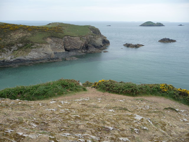
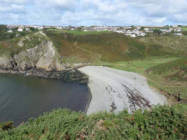
Carreg Dibryder is a prominent coastal feature located in Pembrokeshire, Wales. It is known for its impressive headland and point, which offer breathtaking views of the surrounding landscape and the Celtic Sea. The name Carreg Dibryder translates to "unyielding rock" in Welsh, accurately describing the rugged nature of this geological feature.
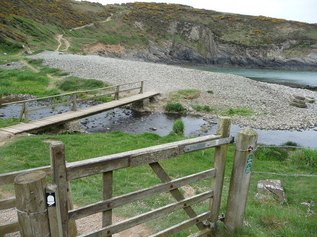
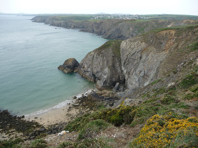
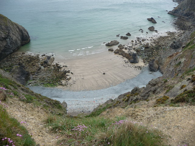
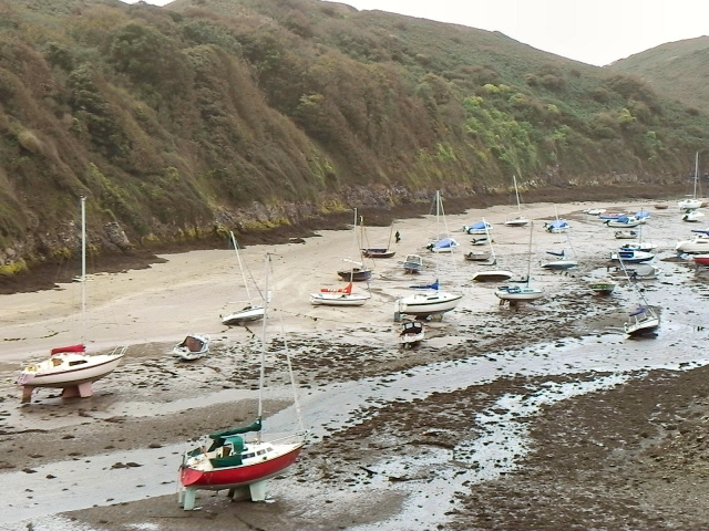
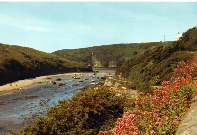
Situated on the westernmost part of the Pembrokeshire Coast National Park, Carreg Dibryder is a popular destination for both locals and tourists alike. The headland rises majestically from the sea, forming a dramatic cliff face that reaches heights of up to 100 meters. This makes it an ideal spot for birdwatching and observing marine life, as it provides a vantage point for spotting seabirds such as razorbills and guillemots, as well as dolphins and seals in the water below.
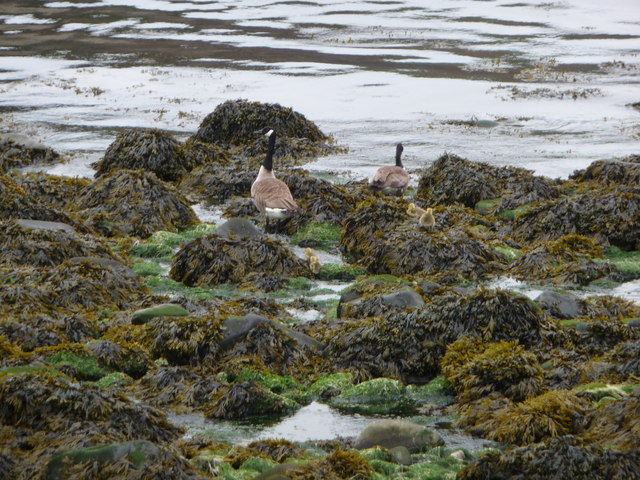
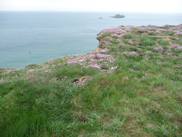
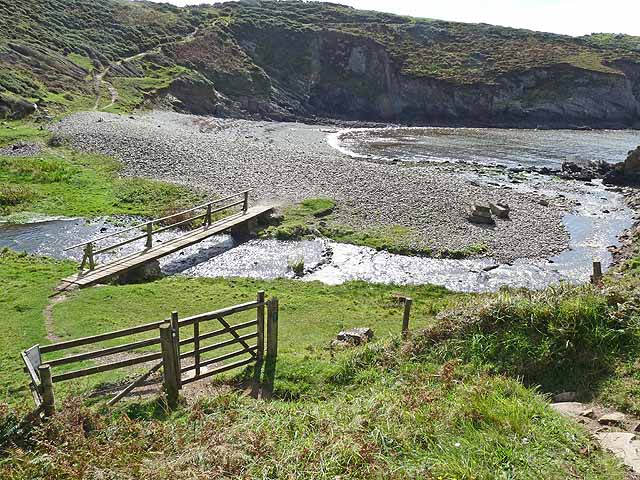
The headland is also home to a variety of flora and fauna, with the surrounding area being rich in biodiversity. The cliffs are adorned with vibrant wildflowers, including sea thrift and rock samphire, while the adjacent grassy slopes are frequented by grazing sheep and rabbits.
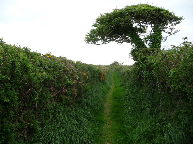
Visitors to Carreg Dibryder can access the headland via a coastal path, which provides a scenic and invigorating walk along the cliff tops. The path offers stunning views of the surrounding coastline, including nearby bays and coves, as well as the historic Strumble Head Lighthouse in the distance.
Overall, Carreg Dibryder is a captivating coastal feature that showcases the natural beauty and diversity of Pembrokeshire's coastline. Whether you're a nature enthusiast, a hiker, or simply seeking a peaceful and picturesque spot to admire the sea, Carreg Dibryder is well worth a visit.
If you have any feedback on the listing, please let us know in the comments section below.
Carreg Dibryder Images
Images are sourced within 2km of 51.870659/-5.1954835 or Grid Reference SM8023. Thanks to Geograph Open Source API. All images are credited.

Carreg Dibryder is located at Grid Ref: SM8023 (Lat: 51.870659, Lng: -5.1954835)
Unitary Authority: Pembrokeshire
Police Authority: Dyfed Powys
What 3 Words
///stamp.elaborate.engrossed. Near St Davids, Pembrokeshire
Nearby Locations
Related Wikis

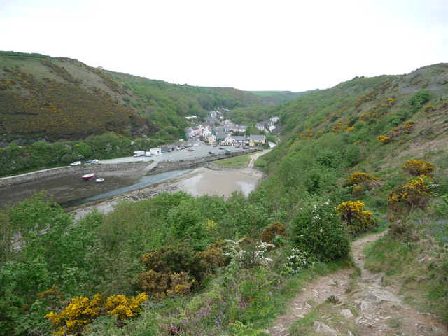
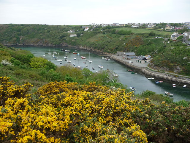
Solva
Solva (Welsh: Solfach) is a village, community and electoral ward in Pembrokeshire, Wales. The village comprises principally Lower Solva and Upper Solva...

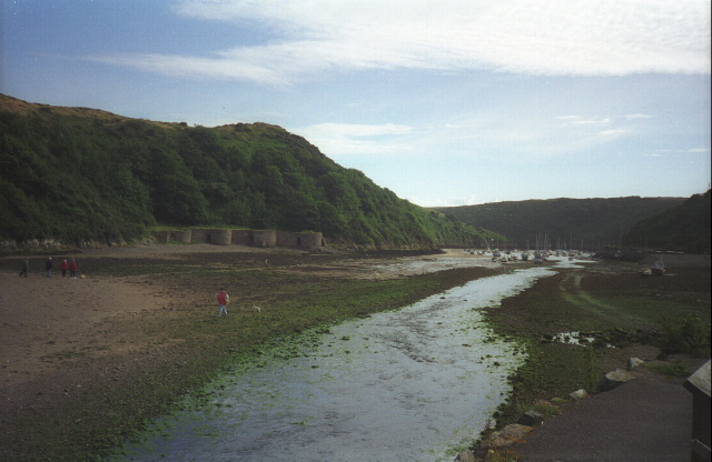
Solva limekilns
The Solva limekilns are a row of disused limekilns in the harbour of the village of Solva, Pembrokeshire, Wales. The kilns have a Grade II heritage listing...

River Solva
The River Solva (Welsh: Afon Solfach) is a small river in Pembrokeshire, Wales. Its source is a few hundred metres southeast of Croesgoch and flows ten...

St Elvis, Pembrokeshire
St Elvis (Welsh: Llaneilfyw, [ɬanəilvəu]) is a parish in Pembrokeshire, Wales, about 4 miles (6 km) east of St David's. At 200 acres (81 ha) it is one...
Nearby Amenities
Located within 500m of 51.870659,-5.1954835Have you been to Carreg Dibryder?
Leave your review of Carreg Dibryder below (or comments, questions and feedback).