Trwyn Caws
Coastal Feature, Headland, Point in Pembrokeshire
Wales
Trwyn Caws
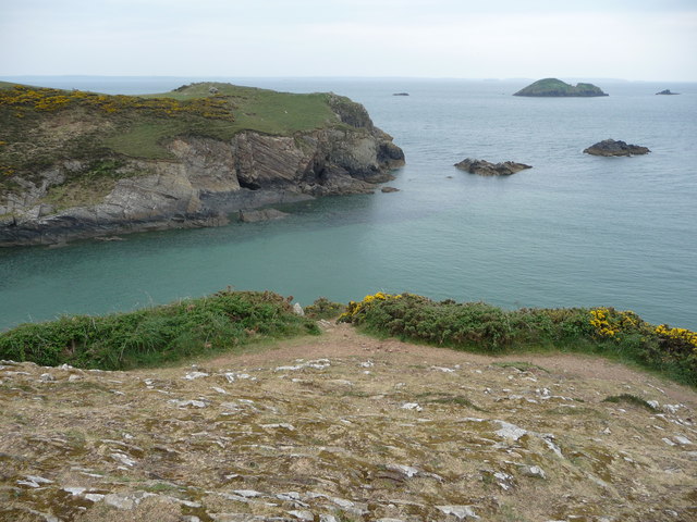
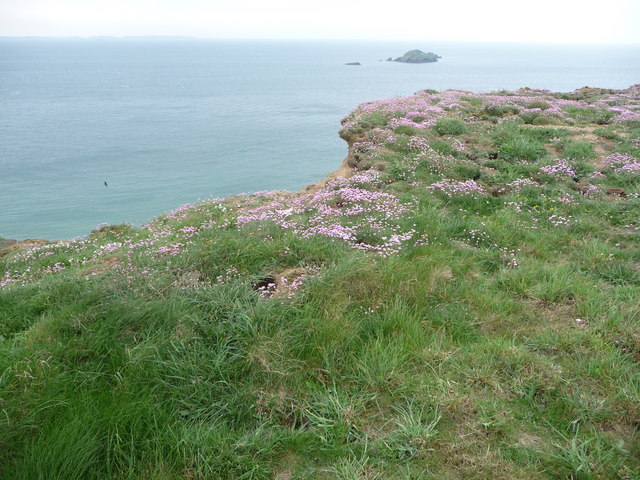
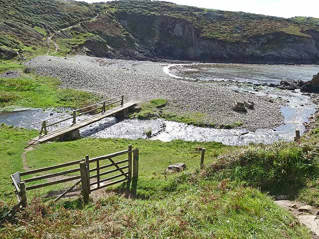
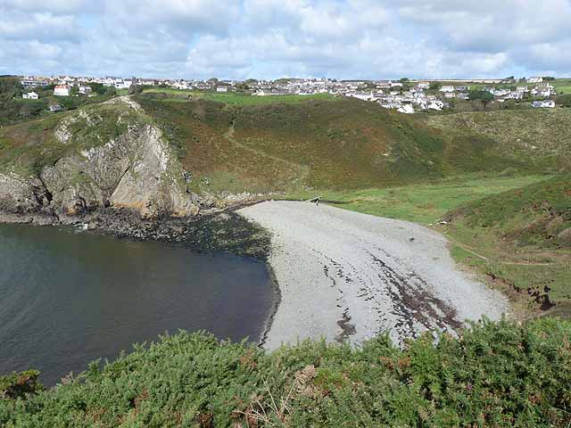
Trwyn Caws is a prominent coastal feature located in the county of Pembrokeshire, Wales. It is classified as a headland or point, jutting out into the Celtic Sea. The headland is situated along the Pembrokeshire Coast National Park, known for its stunning natural beauty and diverse wildlife.
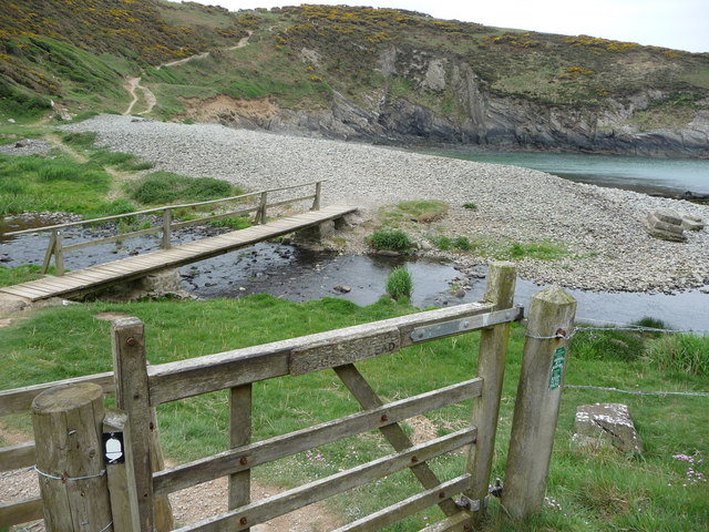
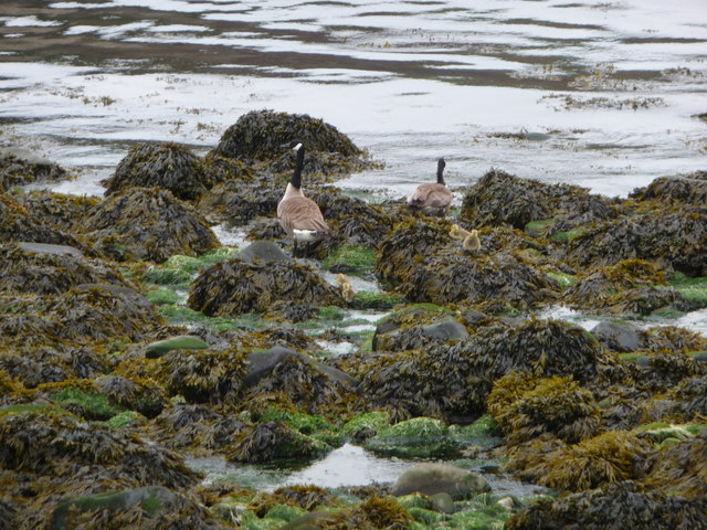
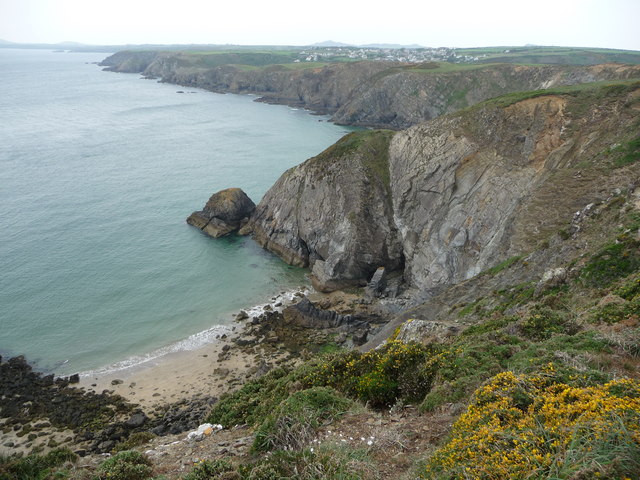
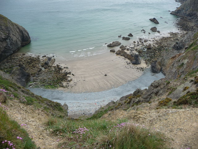
Trwyn Caws is characterized by its rugged cliffs, which rise dramatically from the sea, offering breathtaking views of the surrounding area. The cliffs are composed of sedimentary rock, displaying layers of different colors and textures. They provide a nesting habitat for various seabirds, including razorbills, guillemots, and fulmars.
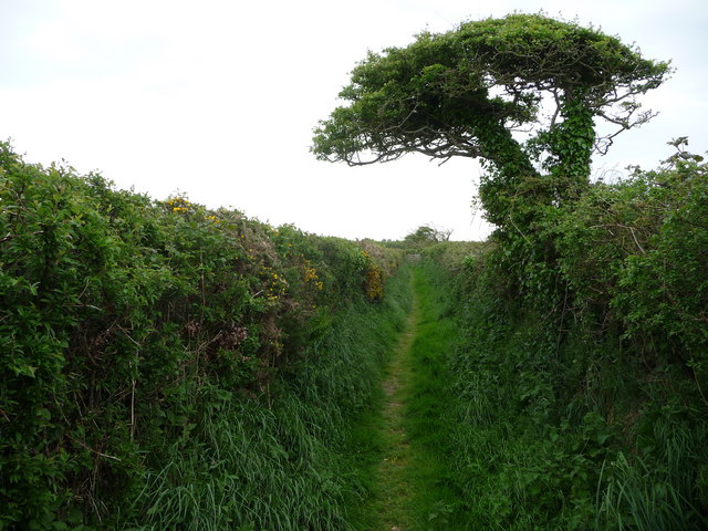
The headland is accessible via a coastal path, which winds its way along the cliff tops. This path offers visitors the opportunity to explore the area and enjoy the stunning scenery. Trwyn Caws is also a popular spot for rock climbing, with its challenging cliffs providing an exhilarating experience for climbers of all levels.
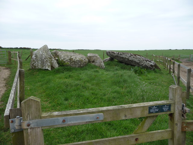
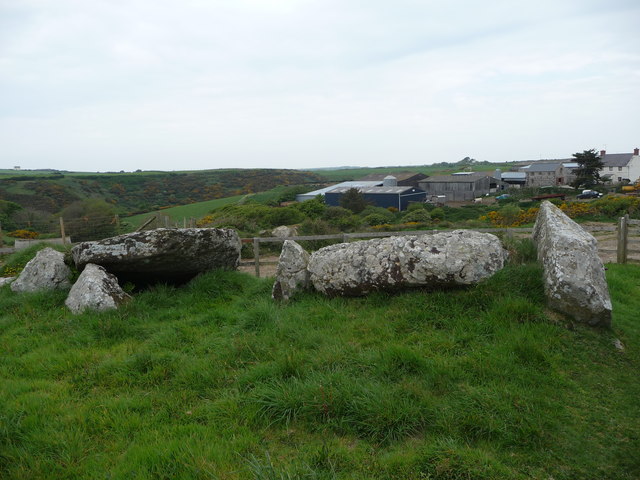
In addition to its natural beauty, Trwyn Caws has historical significance. The headland is home to the ruins of an ancient fort, believed to have been constructed during the Iron Age. These remains provide insight into the area's rich cultural heritage and attract history enthusiasts.
Overall, Trwyn Caws is a captivating coastal feature that combines stunning natural landscapes with historical significance. Whether visitors are seeking outdoor adventures, birdwatching opportunities, or a glimpse into the past, Trwyn Caws offers something for everyone.
If you have any feedback on the listing, please let us know in the comments section below.
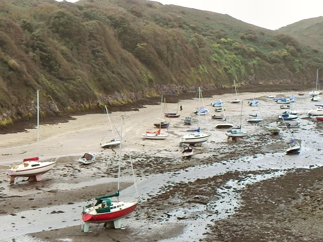
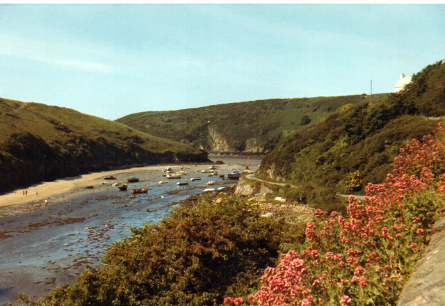
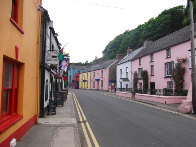
Trwyn Caws Images
Images are sourced within 2km of 51.868452/-5.19662 or Grid Reference SM8023. Thanks to Geograph Open Source API. All images are credited.

Trwyn Caws is located at Grid Ref: SM8023 (Lat: 51.868452, Lng: -5.19662)
Unitary Authority: Pembrokeshire
Police Authority: Dyfed Powys
What 3 Words
///dolls.solves.slipped. Near St Davids, Pembrokeshire
Nearby Locations
Related Wikis

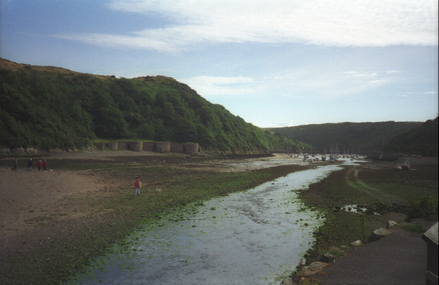
Solva limekilns
The Solva limekilns are a row of disused limekilns in the harbour of the village of Solva, Pembrokeshire, Wales. The kilns have a Grade II heritage listing...

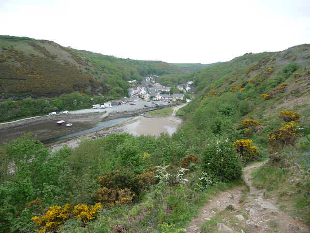
Solva
Solva (Welsh: Solfach) is a village, community and electoral ward in Pembrokeshire, Wales. The village comprises principally Lower Solva and Upper Solva...

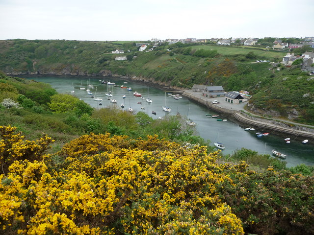
River Solva
The River Solva (Welsh: Afon Solfach) is a small river in Pembrokeshire, Wales. Its source is a few hundred metres southeast of Croesgoch and flows ten...

Pembrokeshire Coast Path
The Pembrokeshire Coast Path (Welsh: Llwybr Arfordir Sir Benfro), often called the Pembrokeshire Coastal Path, is a designated National Trail in Pembrokeshire...
Nearby Amenities
Located within 500m of 51.868452,-5.19662Have you been to Trwyn Caws?
Leave your review of Trwyn Caws below (or comments, questions and feedback).